
I have two doctors, my left leg and my right.
G.M. Trevelyan
What a sight to see beautiful Orton over the last rise, nestled in a dale and framed by the Pennines. My plan was to get the alicoop here tonight and then I’d be a few miles ahead of where I was hoping to be last night. No regrets at all, but climbing every big mountain in the Lakes plus a rock climbing “rest” day did take up a good chunk of the time and it’s good to now be on the actual Coast to Coast and heading east, even if I still have about 120 miles or so to walk to the end.
It was not a fortuitous start to the day, even if the sky was clear and the sun shining. Right after I signed off last night and the sun set, an evil cloud of midges surrounded, cornering me in the alicoop. No matter the speed I flung myself in, hundreds followed me. They leave a tiny red welt in the skin, and their bite – especially in the face – hurts. Little bastards. But they die quickly and I carried thousands of their little carcasses stuck to the sides of the coop all day.
The morning was no better and it was about the fastest packing job of my hiking life. Fortunately, the flowing beck emptying into Haweswater generated enough air to keep them away as I made breakfast before a long, hot day of walking. It occurred to me that perhaps I could have chosen a better time to hike, like the fall. But I would miss the profusion of flowers and birdsong had I not hiked right now.
Hausewater is a reservoir, with strict instructions once I reached its end not to camp. I left a clean site and had my tent where others also broke the rules, so little harm. The five-mile trail begins rocky and undulating, but soon levels to the first flat area where I could move with long strides and not watch my feet. Along the way were rock signs, the size of small gravestones. I was told in the Yorkshire Moors, they’re called “crosses,” signs leading the way. In this case for a village that is submerged.
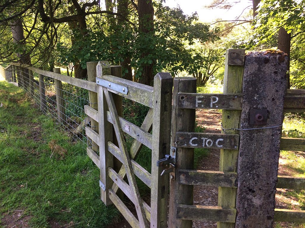
After the water, the terrain changed dramatically. Rolling farmland interspersed with tamarack forest opened in front of me. Sheep were still on the scene, but cattle and horses joined in. I passed a few houses as I walked at the edge of fields where signs warned to keep dogs on lead, as it is the farmer’s right to shoot any mingling with livestock. Even if it wasn’t too early in the day to camp, I did not linger long.
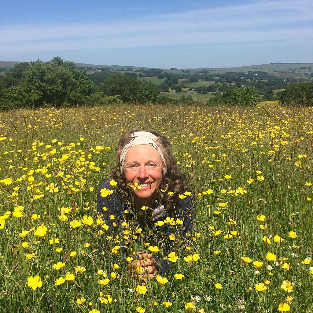
Tom’s honesty box surprised me as I legged up over a stile. He has quite the reputation, less as a trail angel than an enterprise, even listed in the guidebook. On and on I went through fields filled with wildflowers looked down upon by puffy white clouds.
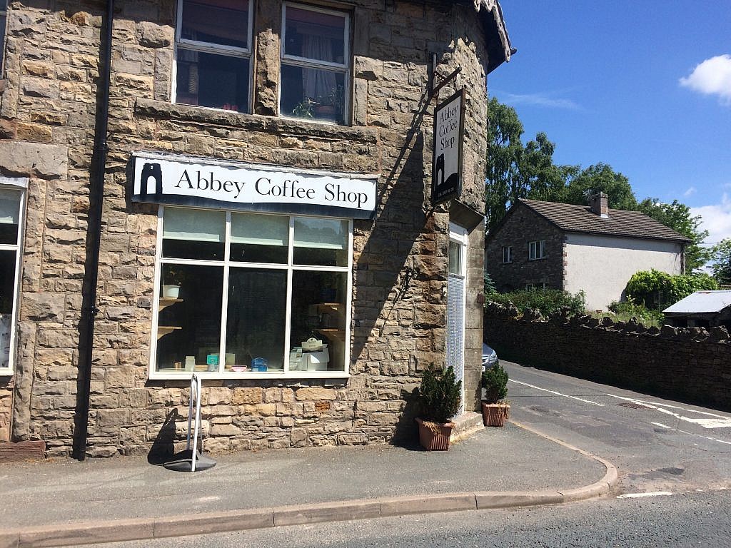
Soon I came upon the Shap Abbey ruins, a nunnery built in the 12th century and ransacked by Henry VIII’s henchman. It’s bell tower still stands, but most of the good stuff has been pilfered. You can see some stones in the buildings of Shap as the C2C brings you straight down Main Street. I got a drink and something to eat before the long pull I had left for the day. At the Abbey Cafe, an earnest trans biker offered all sorts of advice, some good and some less so, before I moved on.
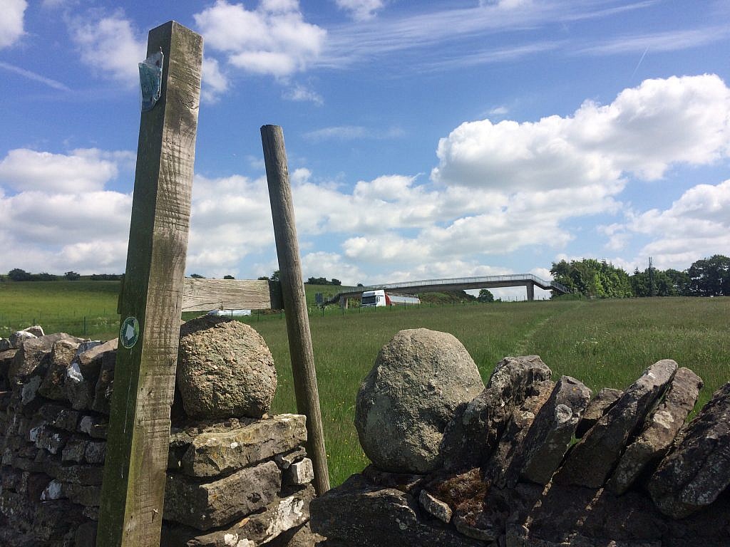
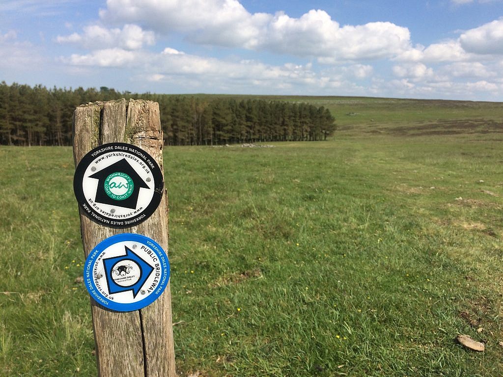
Shap was once on the main highway, but now lies a mile away from the A6, the main thoroughfare to Scotland. You notice the noise first, then see in the distance how to get past it: a lovely footbridge. Up and over and suddenly out of the Lakes and into Central England and Yorkshire Dales National Park, only recently expanded to include the Howgills, and – I was told – to keep people from building willy nilly. Once over a rise, the engine noise disappeared and the views really opened up, far and expansive, the Pennines that I’ll walk tomorrow beginning to come into view.
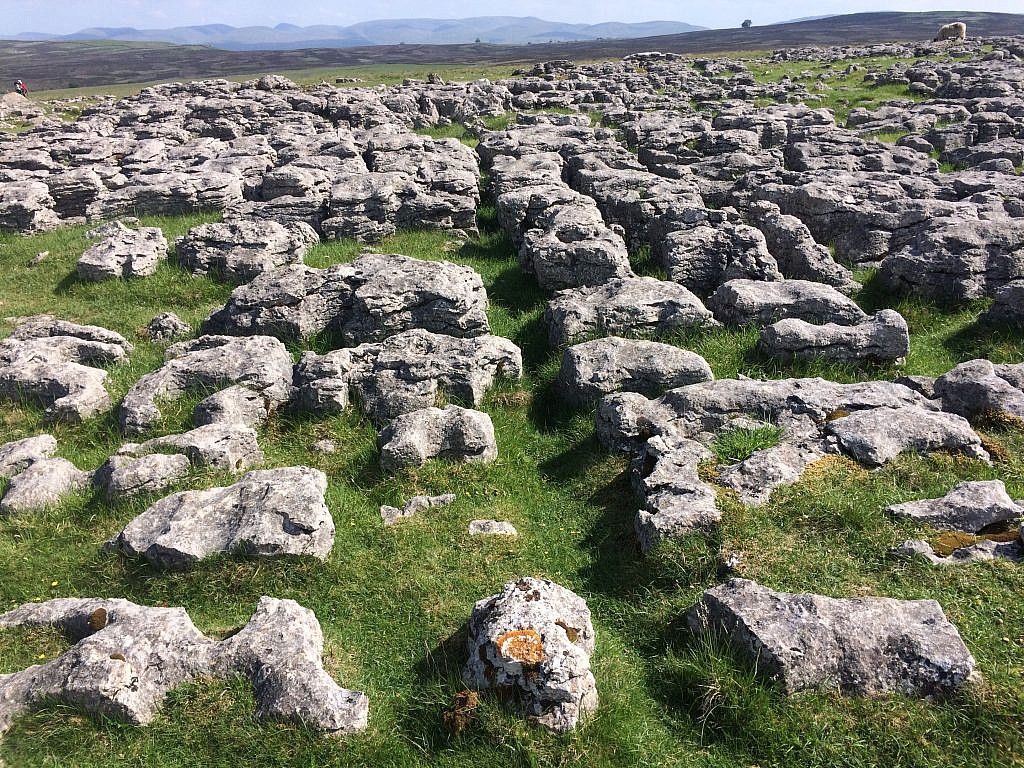
Here I walked on soft grass covering limestone that sometimes showed its craggy self. It’s not the grandeur of the Lake District, those hills disappearing behind me, but a kind of wistful loneliness of slower rises and falls. There is something of the American Prairie to Westmoreland, but perhaps that was because the sky felt so big above me, the birds calls so soothing in my solitude and the distances I was covering so satisfying.
It’s a bit of a detour to come to Orton, but I am thrilled I did as I set the alicoop on a lawn and cleaned up my clothes, the kit and myself nearing the halfway point of my hike. I feel confident I will walk every step to the end, but tomorrow will be a long day with Keld in my sights. Will I be able to wild camp again from here on out or will it be lawns and campsites?
We shall see…

One Response
Thank you for sharing the journey. Mom