Our tents are damp in this foggy morning, set on a staircase of carved terraces, Inca-style. Yesterday, Andrew and I spied rock formations that appeared made by hand, huge hewn blocks as if a wall around the river. His passion is science fiction, so it got us fantasizing of ancient alien civilizations here in this last inhabited patch of the world.
The morepork hooted through the still night until I was awakened by David’s excited descriptions of climbs to Alex and the Croatians, as well as advice to slow down the pace for the South Island, which he completed last year. I really wanted him to shut up and give me a few more moments sleep, but I will miss David and these guys. They go on further today to get to Wellington before the month is over.
That definitely won’t be me with the Tararuas to come, a notoriously difficult and dangerous crossing. To prepare for bad weather days, I’ll carry extra food, but that slows me down on the steep ascents.
Thru-hiking is a balancing act and that difficult range is weeks away, after Christmas. Right now, the river is ahead, the only part of me tired being my bony bottom on the seat all day.
It’s a long walk down to the canoes with six heavy barrels, but the river tends to flood – a lot – so being high up is a good thing. We pack before the hut folks are up. I slept outside, reserving a bed just for insurance.
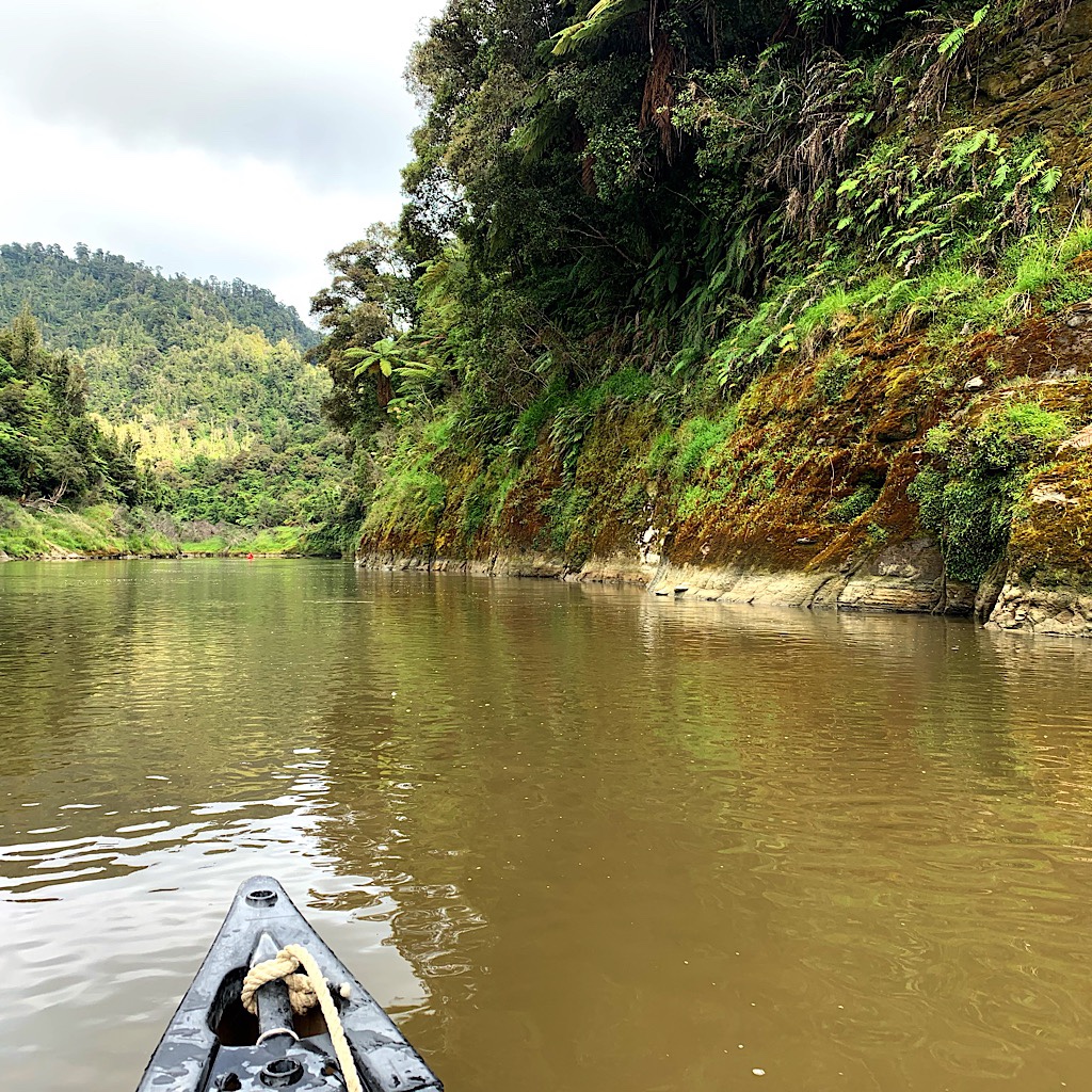
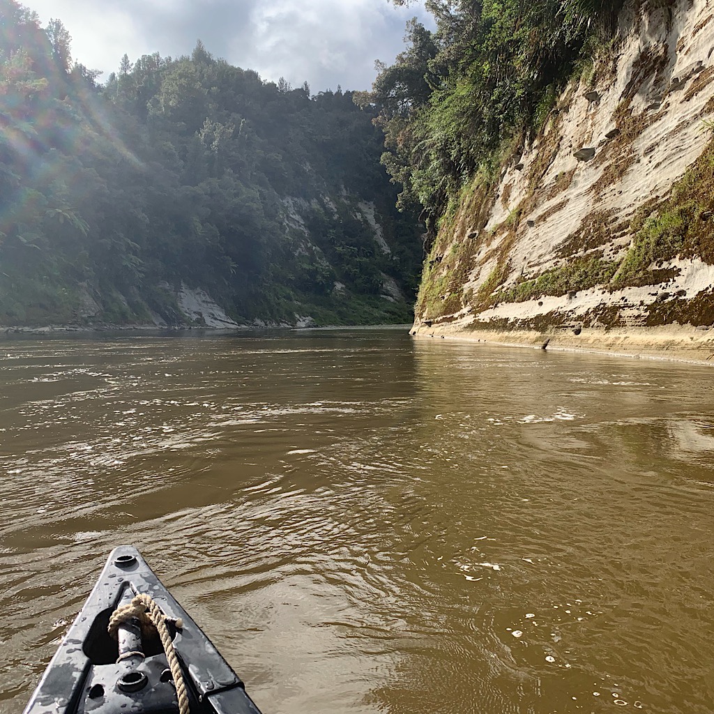
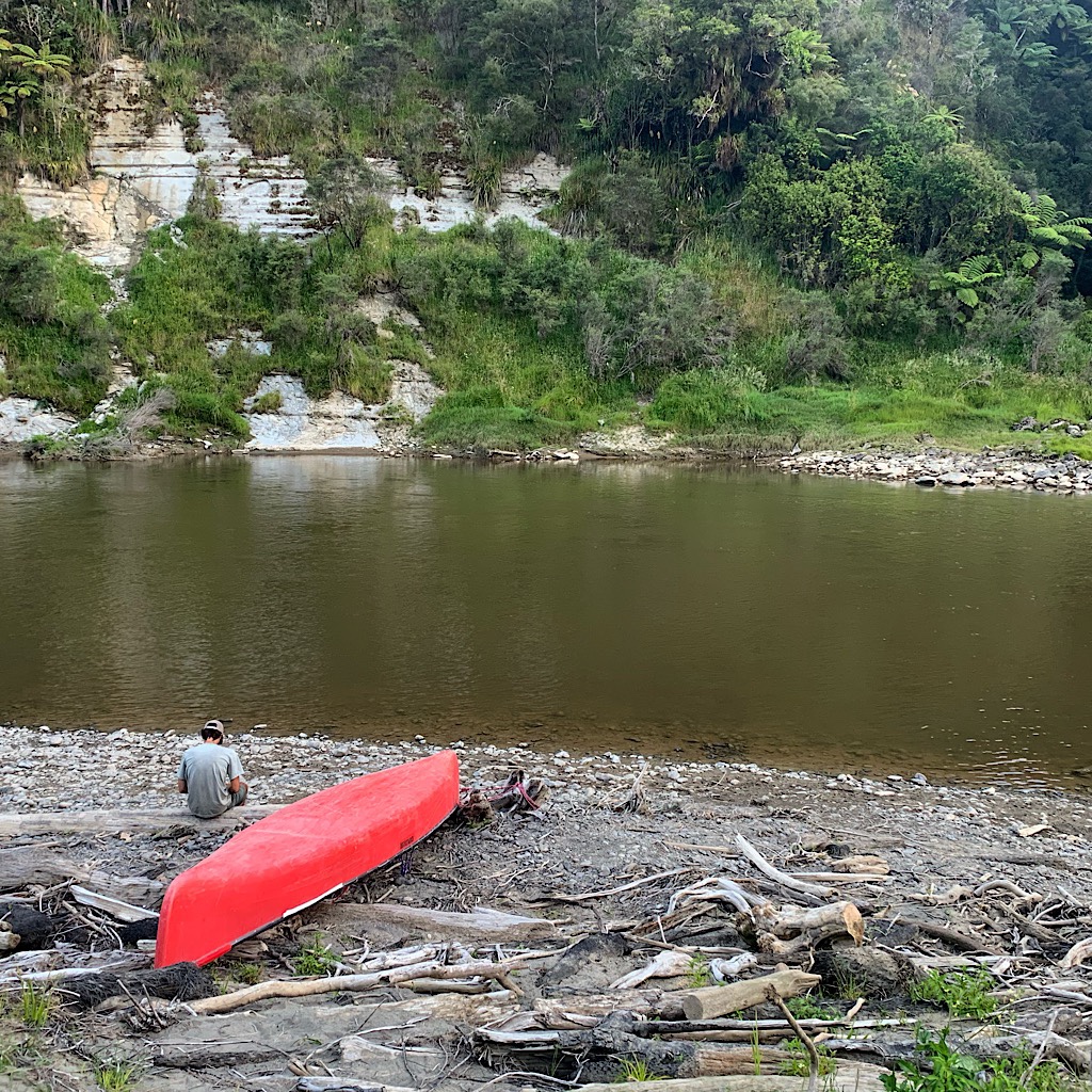
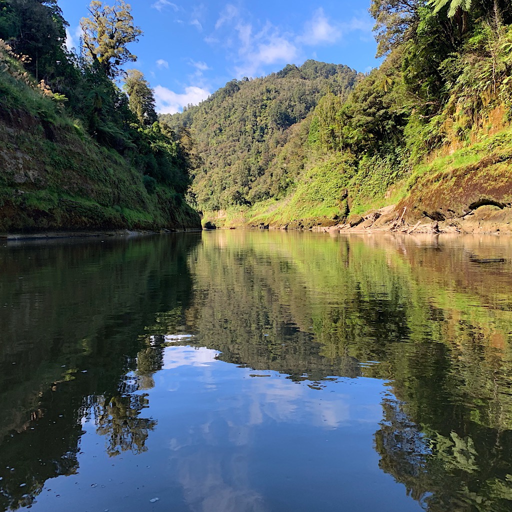
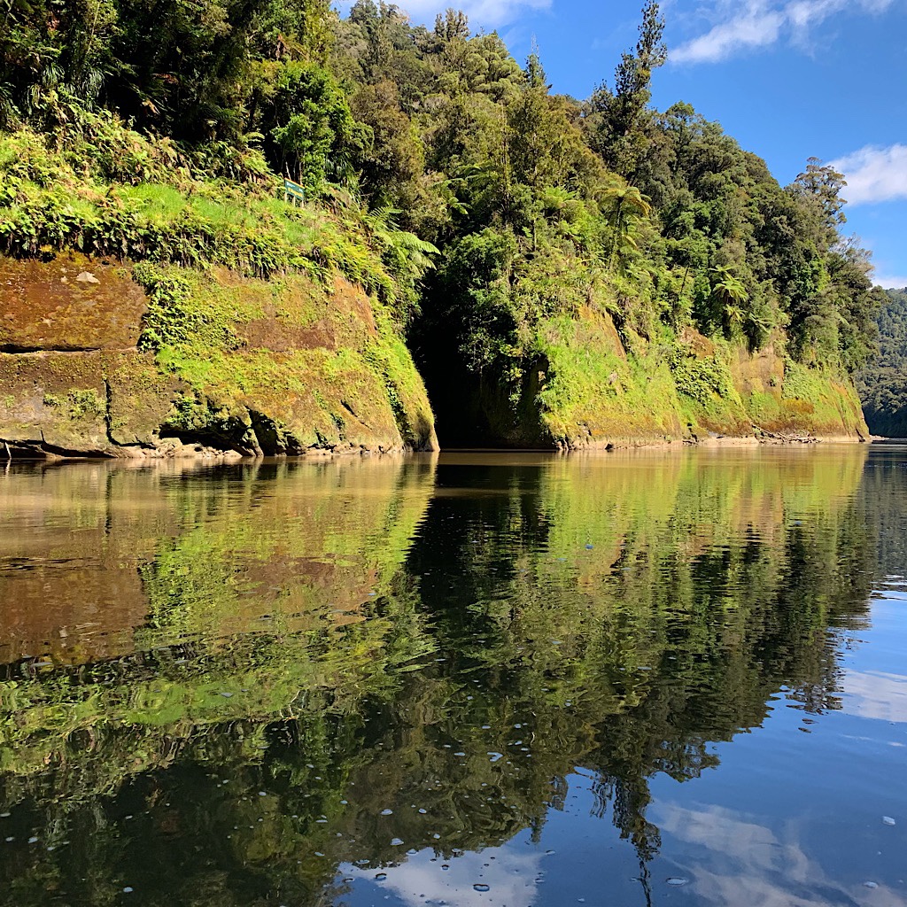
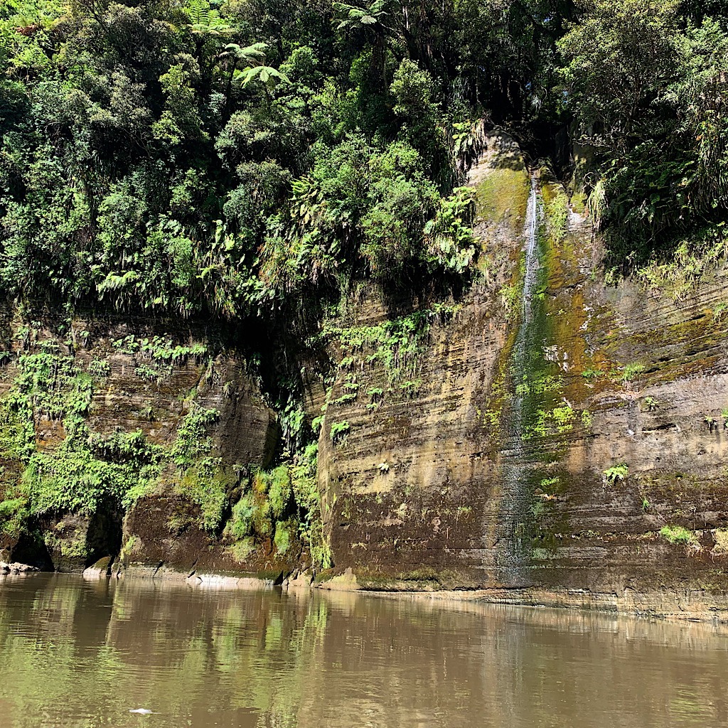
It feels like wilderness here. Hundreds of waterfalls – people would walk miles to see just one – massive walls of moss covered rock, Sideshow Bob palms stretching out their fronds over the abyss, rapids then calm then rapids, reflected clouds and bright blue sky on the latte-colored water.
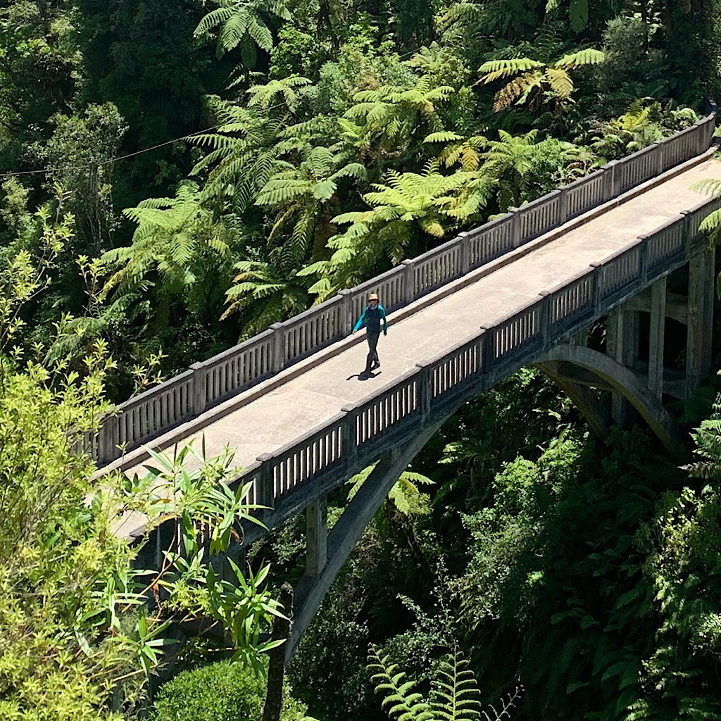
Then we’re at the Bridge to Nowhere landing with a smelly jet boat full of tourists. Built in the ‘30s with high hopes, the bridge is modern and made for cars to replace the rickety suspension bridge and bring prosperity to the region after the river boats disappeared and the river was made a national park. But, alas, the area is prone to washouts so the farmers split, the roads were never built and the bridge has more tourist traffic than commerce.
A beer, a few sour patch kids and peanuts and we’re off up the steep climb to get there.
It’s huge and high, made of lots of concrete and built with no safety harnesses or railings – and for absolutely no purpose in the end.
After, we paddle into the wind which picks up at around 2:00, screaming up the canyon and almost sending us into the piles of huge logs and debris on the edge of the river.
Again Andrew and I talk about everything, easily and eagerly until we fall silent paddling in the heat. I am so lucky to share this week with him. It feels easy and natural and my stress has evaporated.
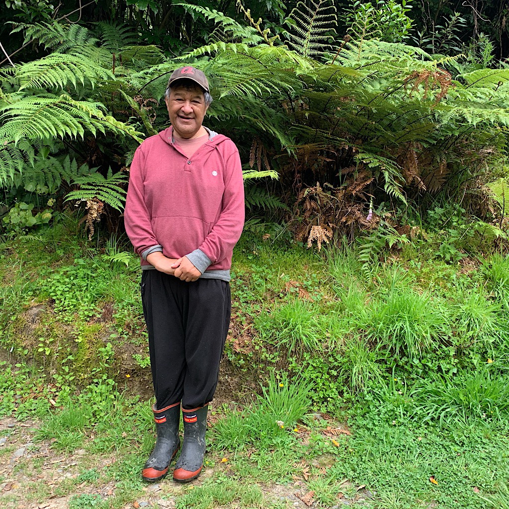
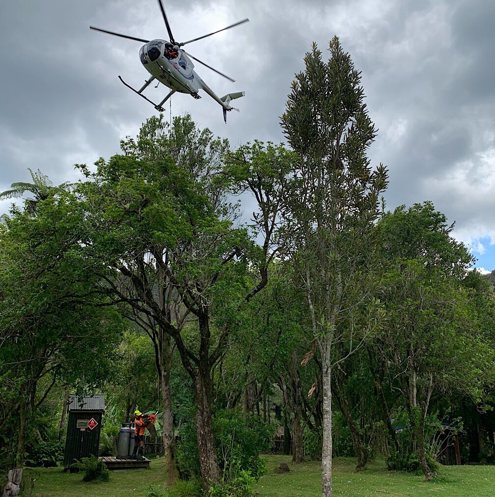
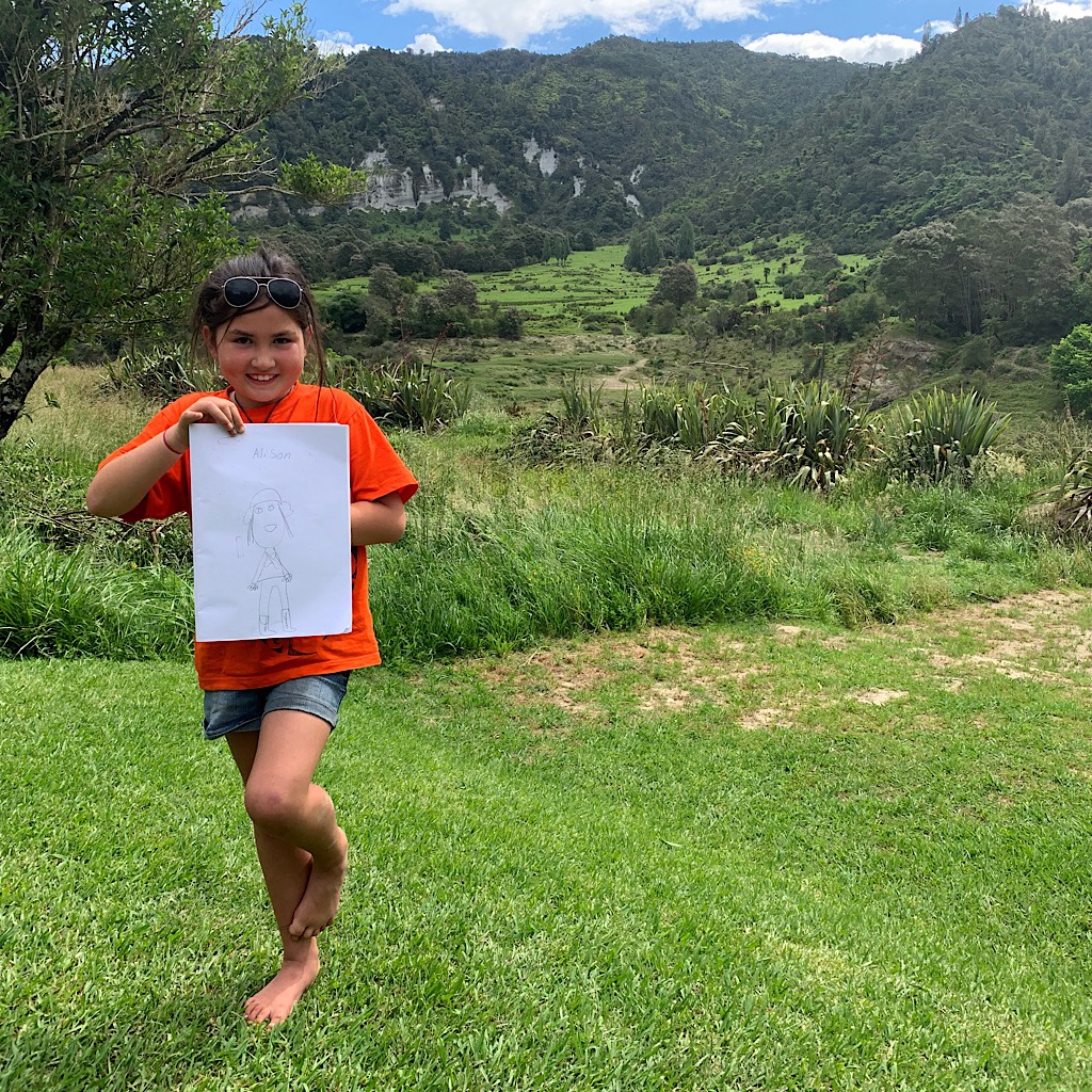
When we get to Tieke Kainga, deliveries are being made by helicopter – firewood, gas for the stoves and a riding lawnmower. Matt, the hut warden, has two delightful girls, Maddy and Charly and we draw pictures and dunk ourselves in the river before dinner and the powhiri, a kind of Maori greeting.
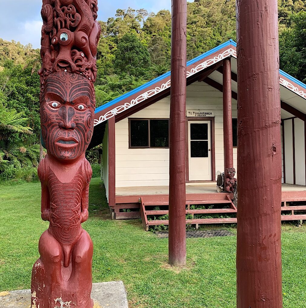
This land was occupied by Maori at the time the Department of Conservation, or DOC, wanted to build a hut and camping sites for the ever increasing tourist industry. Peace finally prevailed in a kind of shared responsibility at this sacred meeting place. We were asked not to drink or enter the grounds until the ceremony where Andrew introduced us as the only Americans and I sang ‘America the Beautiful’ as a gift.
I’m exhausted by the sun and the paddling and knocking off. Until tomorrow, my friends, from a stunning tent site on the Whanganui, flax in bloom looks out towards chalky white cliffs above gentle green hills, but just before I turn in, Maddy visits and gives me a pakohe, a black healing stone which I have on my neck hoping to help me feel good overnight and into tomorrow.
“Ko au te avva, ko te avva ko au.” I am the river and the river is me.


4 Responses
National Geographic-style photos. Love your portrait.
Stunning!!!
Great day! As one area that I haven’t been in, you’ve inspired me to plan a trip.
very cool here!!