
The Superior Hiking Trail overview
Tips for hiking the 310-mile premier backpacking path in the American midwest.
SHT: day 16, Caribou Pond to 270 Overlook (Northern Terminus) 13 miles
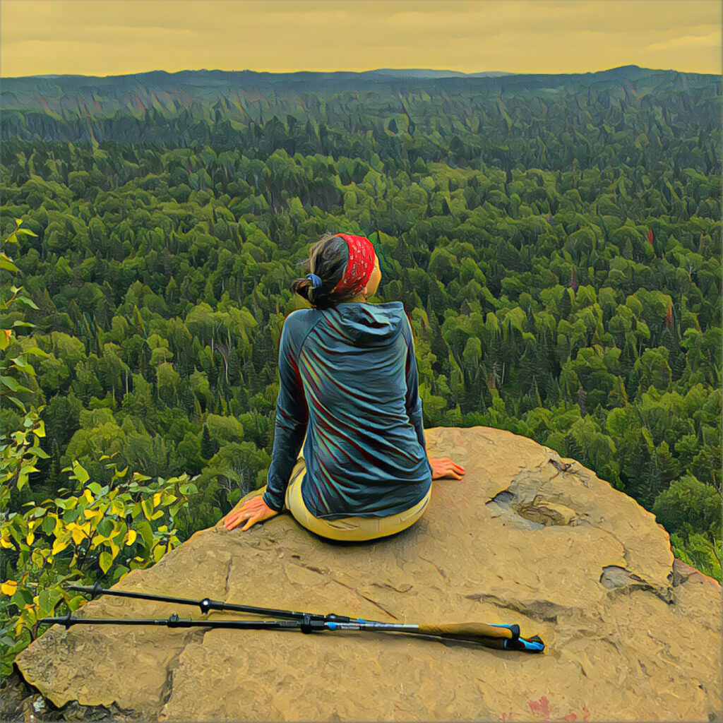
At Hellacious Overlook, squalls move over Lake Superior then it’s one more high point until the end near Canada.
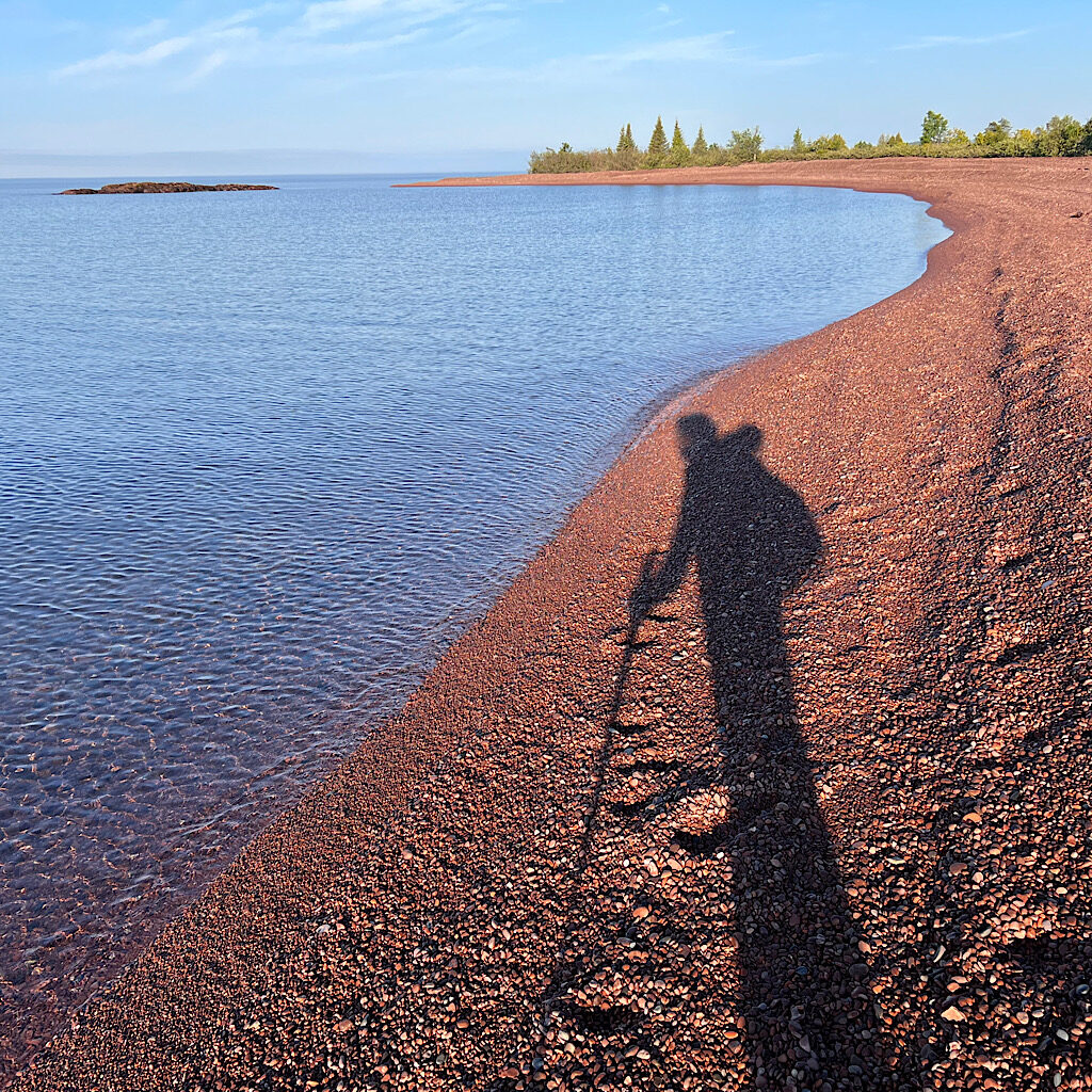
SHT: day 15, Beach Walk to Caribou Pond, 26 miles
A beach walk, colossal falls, magical pools and ridge-line views make this penultimate day one of the best.

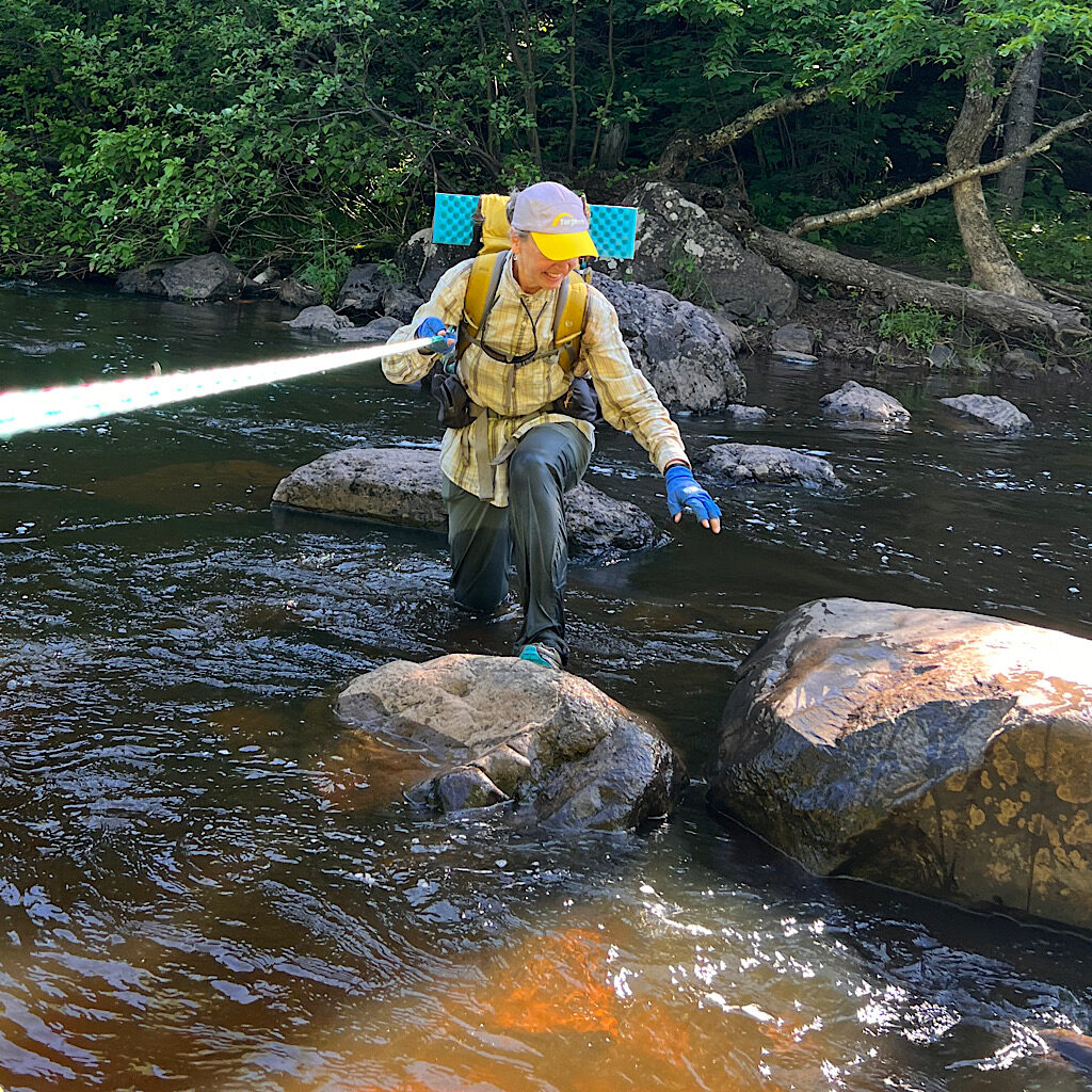
SHT: day 14, E Devil Track to Beach Walk, 13 miles
It’s all mist and drizzle through the mysterious Devil Track past seven creeks to a friend’s warm cabin.
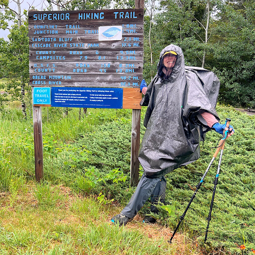
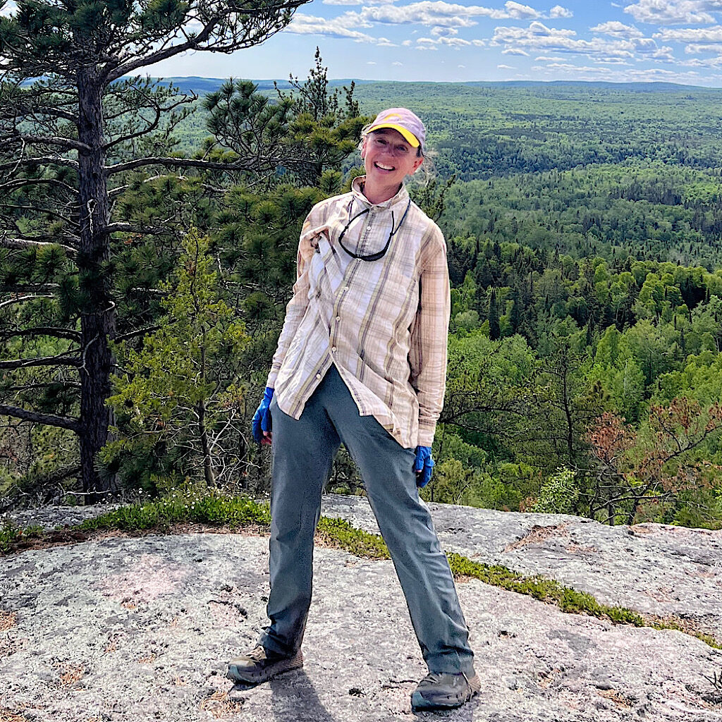
SHT: day 13, Overlook Mountain to E Devil Track River, 23 miles
A brilliant sunrise leads to a damp day and a wet plant “carwash” past Grand Marais, field-testing a rain poncho.
SHT: day 12, Springdale Creek to Lookout Mountain, 26 miles
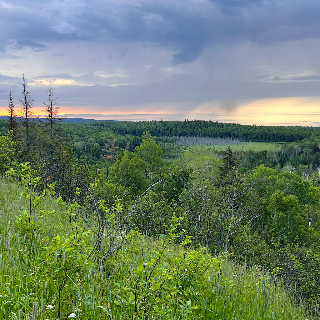
It’s rolling terrain through forest past mountains with views, then gorgeous Lake Agnes and Poplar River.
SHT: day 11, Crystal Creek to Springdale Creek, 22 miles
A glorious day past rushing Cross and Temperance Rivers and over the highest point, Carlton Peak.
SHT: day 10, Leskinen Creek to Crystal Creek, 23 miles
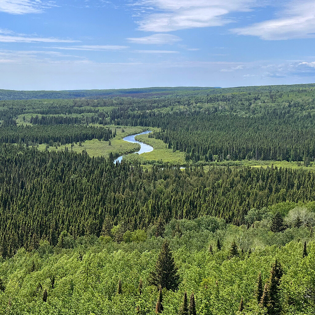
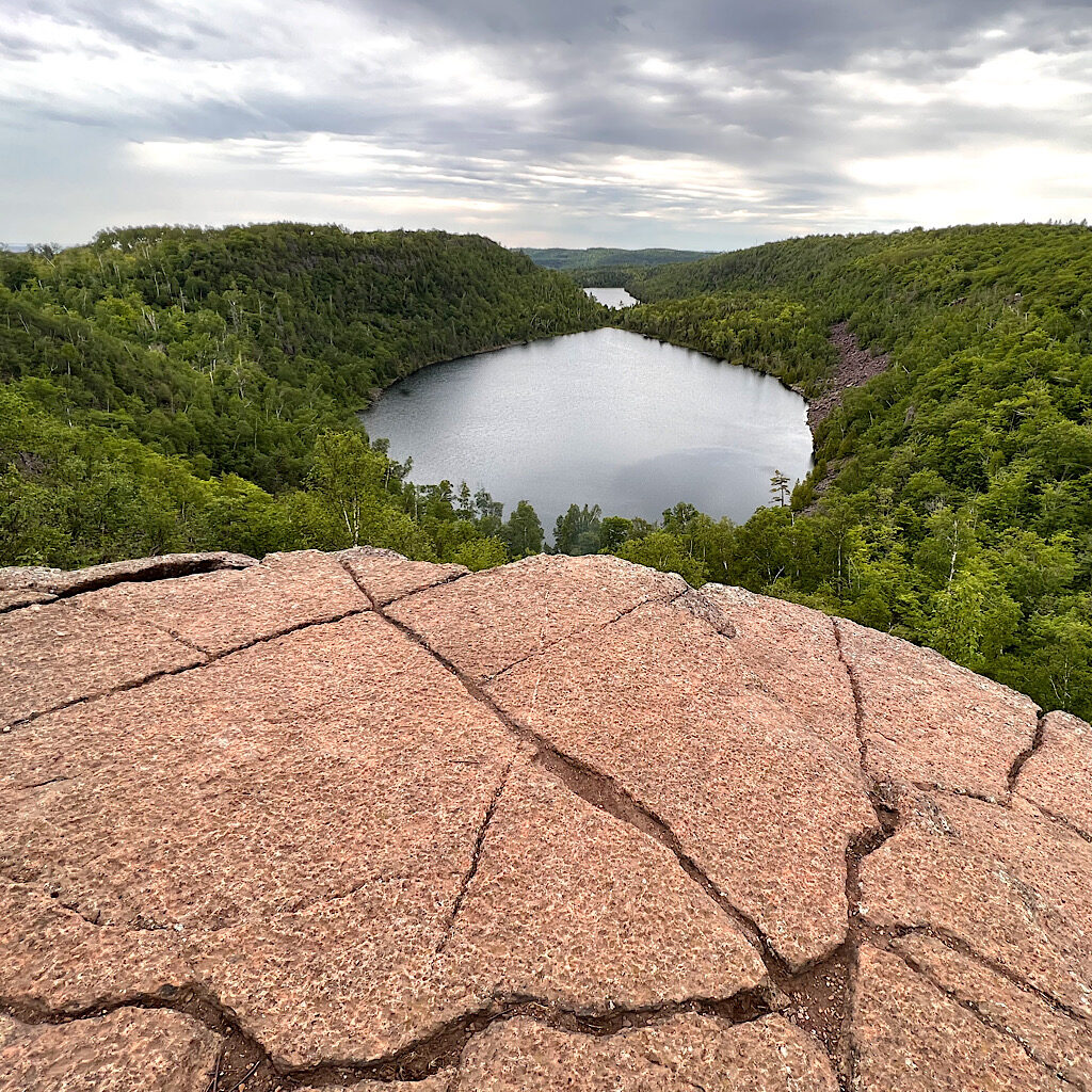
An exposed Canadian Shield island on Sonju Lake is followed by wild Manitou River and glorious Horseshoe Ridge.
SHT: day 9, E Palisade to Leskinen Creek, 20 miles
It’s one of the most difficult days from Tettegouche to Section 13 on high cliffs above Gitchee Gumee.
SHT: day 8, SE Split Rock to E Palisade Creek, 22 miles
The views are superb of the big lake and glacial Bean and Bear Lakes below basalt cliffs.
SHT: day 7, Castle Danger to SE Split Rock, 20 miles
The trail begins to feel like it’s arrived on the shore tracing both Gooseberry Falls and wild Split Rock River.

SHT: day 6, McCarthey Creek to Castle Danger, 19 miles
The trail provides like magic on a day filled with birdsong and my first big climbs.
