I howled at the moon with friends,
from “The Best Day of My Life” by American Authors
And then the sun came crashing in.
Wo-o-o-o-o-oh, wo-o-o-o-o-oh
But all the possibilities,
No limits just epiphanies.
Wo-o-o-o-o-oh, wo-o-o-o-o-oh
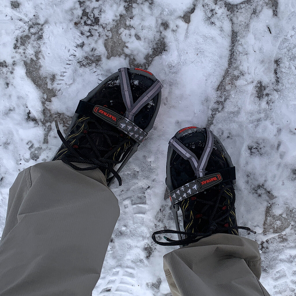
The snow squeaks with each step as I push through a forest of ash, maple, oak and birch. I’m so glad I picked up a pair of Yaktrax for my sneakers. A particularly icy patch in deep shade with ghost footprints in elevated ridges forces me to look down at my feet.
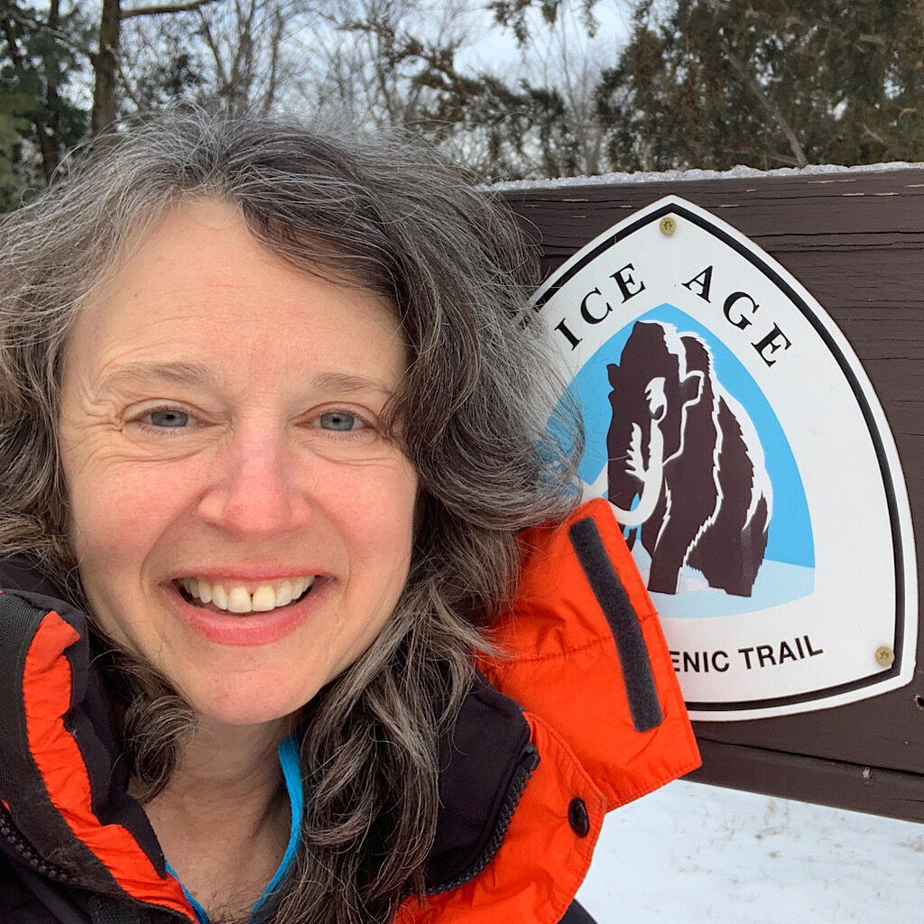
I’m walking on the Ice Age Trail. Richard and I drove east from Saint Paul about five hours to meet a reader, who turned into a follower, and now is a friend. He and his wife live in West Bend, right in the heart of the glacial leftovers. Finally in person, we hit it off immediately, talking non-stop, drinking good wine, cramming into a booth at the (now famous) Omicron Diner and binge-watching “Kim’s Convenience.” We did come here to visit, but the trail’s proximity is not lost on me, and I devote a day to exploring.
The Ice Age Trail was, at least, dreamed up in 1961. The National Park Service acknowledged that the glacial features in Wisconsin were amazing, but that hundreds of miles of park would be too difficult to administer. It would take a grass roots effort to convince the feds to designate separate units and create a reserve. Leave it to a thru-hiker to convince the president in office (Carter) to sign into law that the Ice Age would become an official Scenic Trail.
I get a late start after a breakfast lingered over in bathrobes. Paradise Drive is aptly named, twisting and winding up like a roller coaster through thick forest that opens up to views of lakes and ponds and leads us to a tiny lot. This area is called the “Kettle Moraine,” I name I misheard when interviewing Gina Knox for Walking Distance, her squashed Milwaukee accent making it sound more like “Meringue.”
I notice a few cars already parked as I grab my pack and head out, knowing my warm coat won’t last long on this sunny morning. I take my sticks mostly out of habit, but I know there will be hills where I’ll be glad I have “extendo-arms.” The start is mostly easy walking, taking me deep into a kettle where the traffic noise quickly disappears.
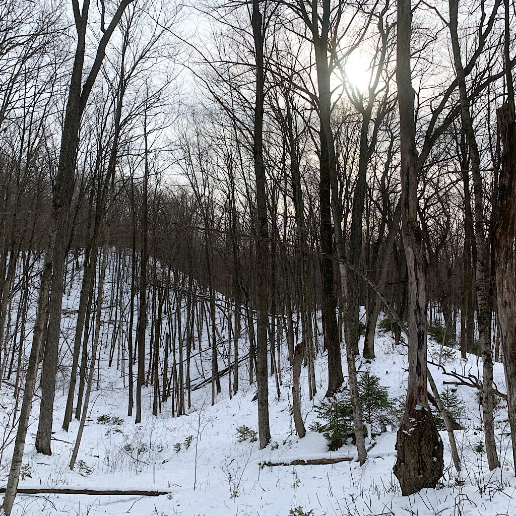
A kettle is defined as a surface depression formed by large, detached blocks of melting ice that were buried with sand and gravel. As the ice melted, the other material collapsed, leaving a crater-like depression. Some can be hundreds of feet deep but rather than walk into them, the trail follows a kind of catwalk up and around on mounds of glacial til. These are so enormous that the French called this area the Blue Mountains.
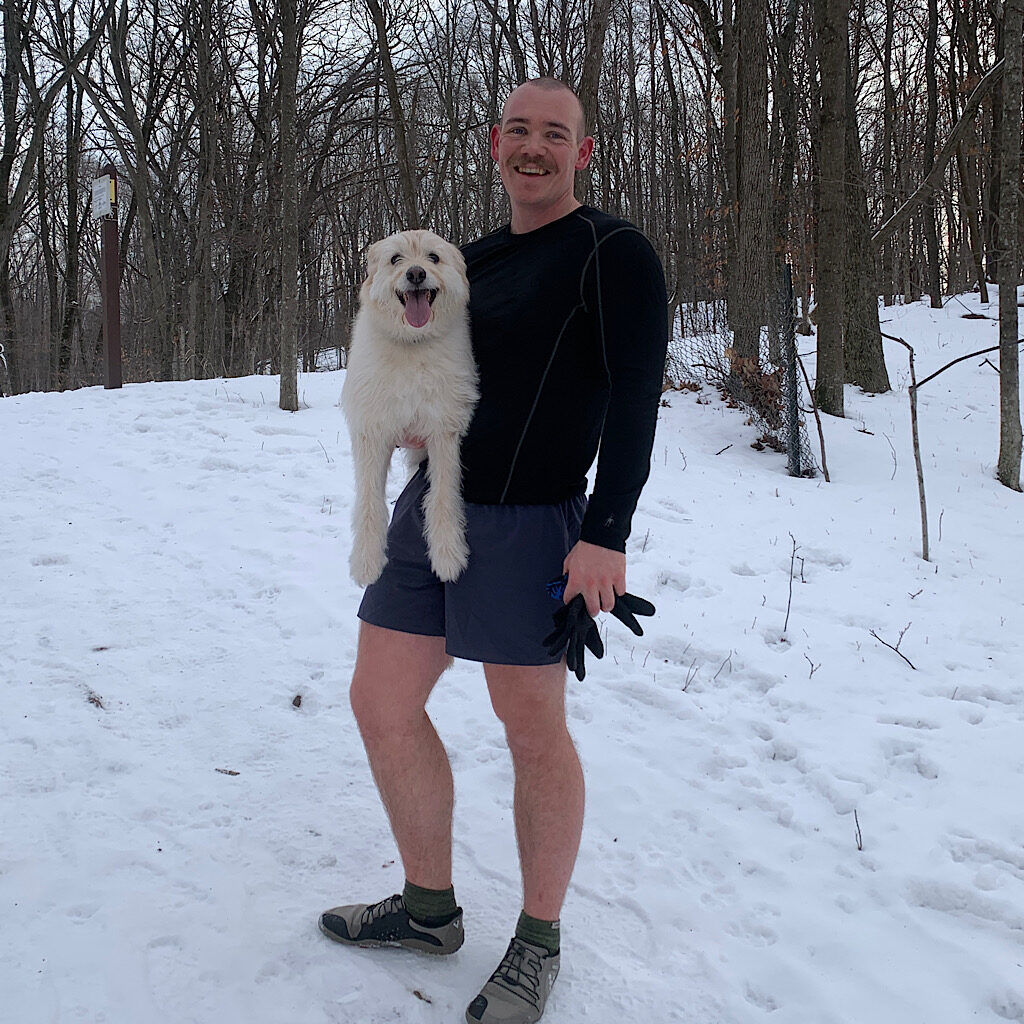
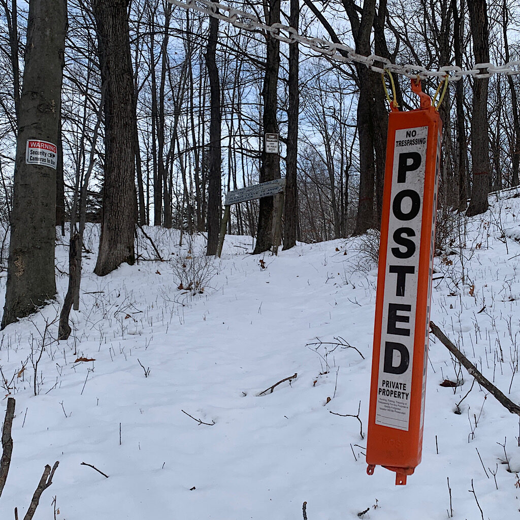
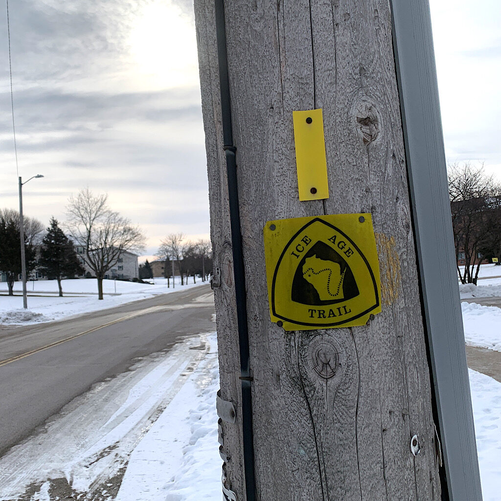
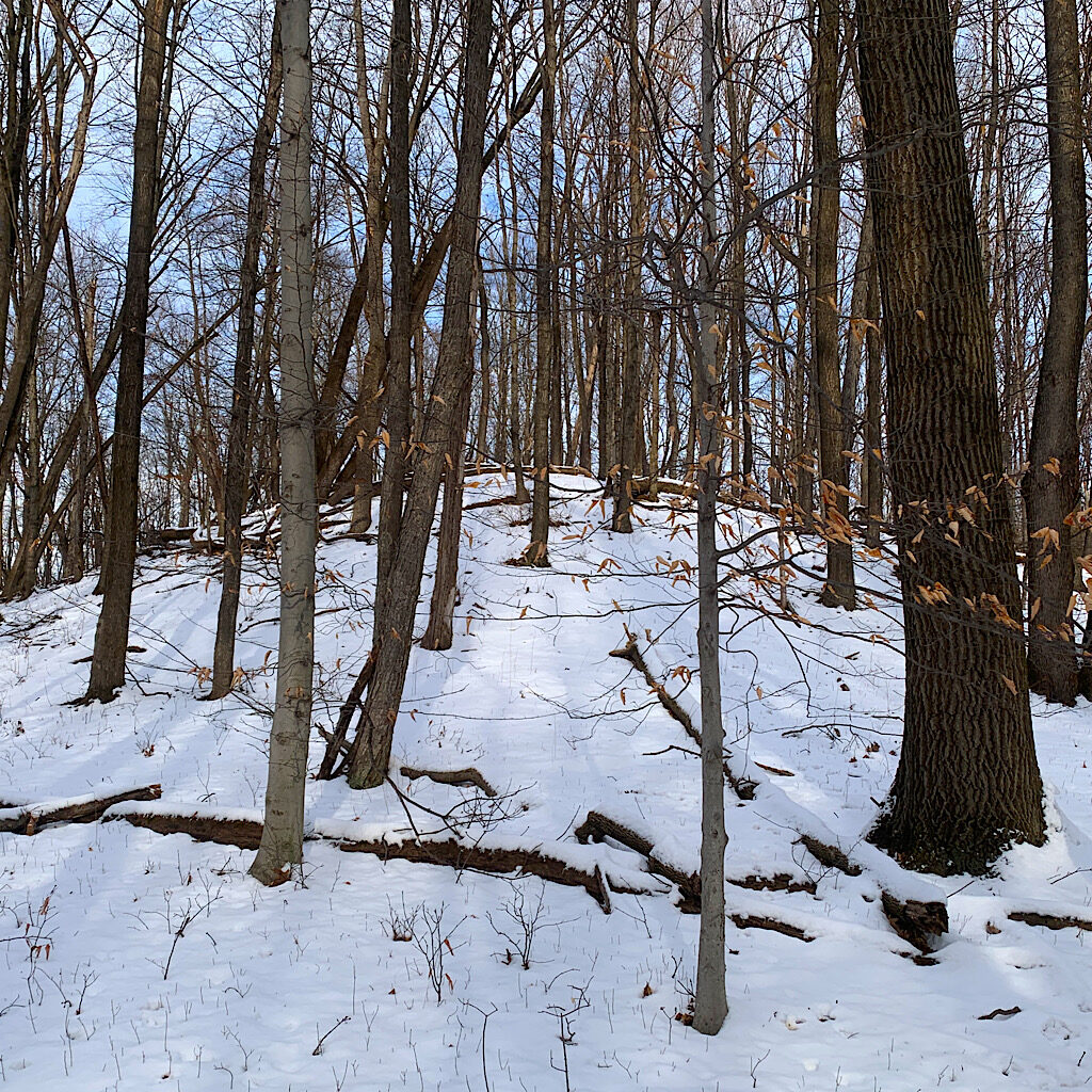
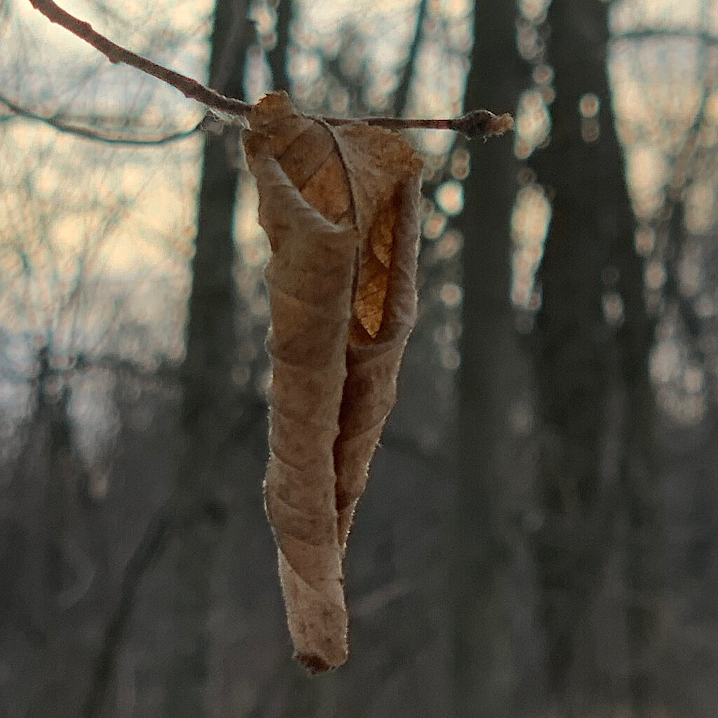
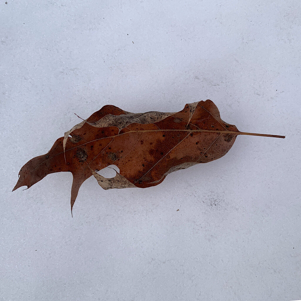
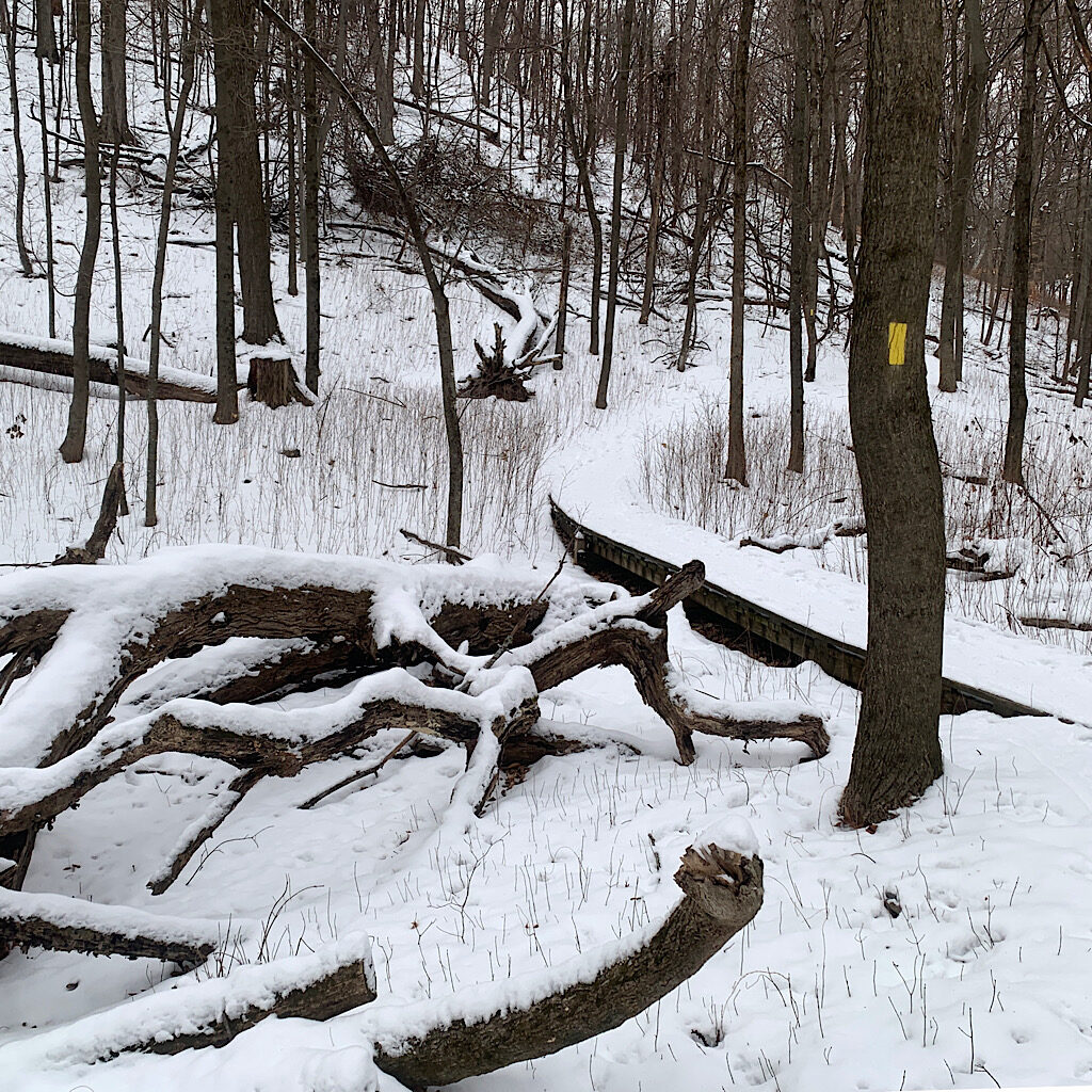
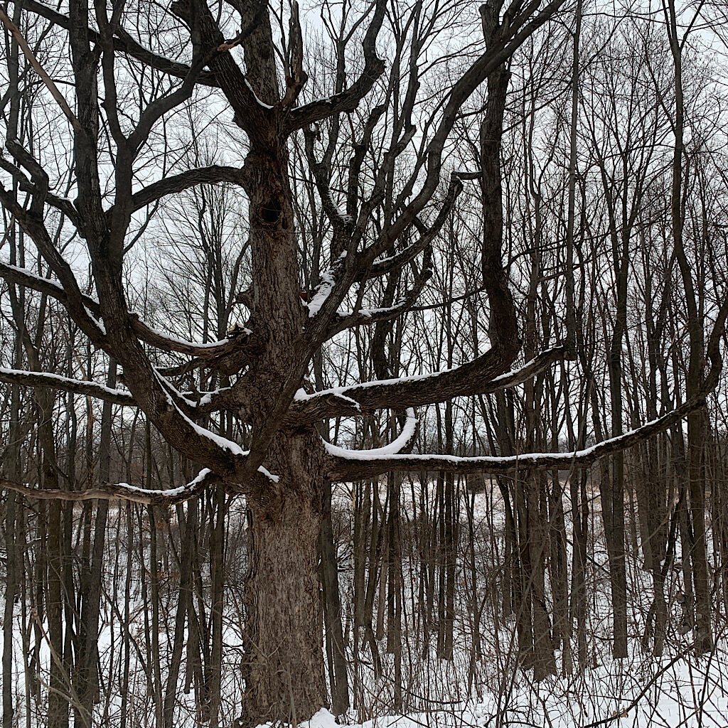
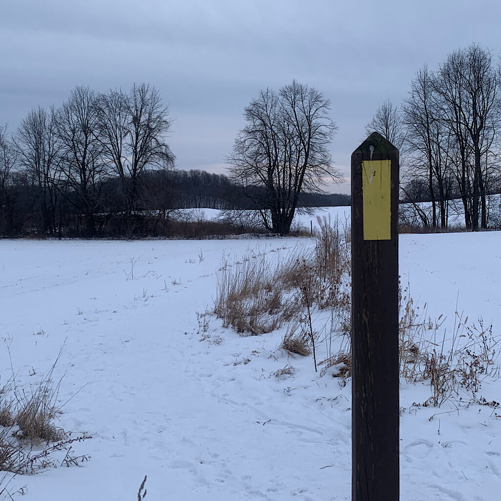
The route is clear even as multiple paths cross, large yellow blazes marking the way. It’s up and down and around on a crusty carpet of snow and likely better in winter with leaves down, the trees like skeletons. Silver light filters through high, wispy clouds. Faded ash leaves tinkle in the breeze.
I hear whistles and chirrups as I continue down a hill, letting out and audible “ah!” when reaching Silver Creek. Snow in long white stripes climbs up the thick trunks. The wooden bridge is sturdy and L-shaped across. I notice tiny paw prints along the handrail.
I cross a blowdown and laugh at its paltry size. Another tangle is already neatly cut. What a nightmare it was last summer in Montana. This is dead easy and a pileated woodpecker lets out a wild laugh seemingly accentuating the point. At the fenceline, leaves collect as if forced in by a blower. I luckily have a gateway to pass through.
I love this spot high above a snow-covered field. A plaque on a bench is named for a couple called Lovejoy who dedicated themselves to this trail. I set my pack down and change into another coat and stow my mitts. This morning, Sue told me how she and her sister were the oldest survivors in her family, the last to remember details from childhood. I look out and think of my brothers and all the stories, jokes and wisdom we share, the bits impossible to explain to anyone else. What is lost when someone leaves this earth? I am suddenly grateful for the Lovejoy couple who left this trail behind.
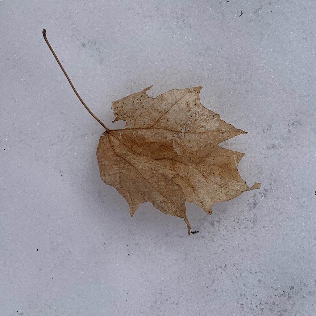
I work my way down now, not too steep but enough to make wearing traction a good idea. The trail winds around Ruth Ridge County Park where the creek is dammed for anglers who are given special “urban” fishing rules. A kame is lit for sledding. A kame is a conical mound developed when a melt water cut a hole in the glacier and allowed debris to slip through and rest on slower moving water below. These are the most interesting features of retreating glaciers, tall and nearly perfectly round. No wonder this area is popular for winter sports.
I go up again, three signs leading the way. A blog about this spot mentioned all the trails heading off the main one and to beware of getting lost. I imagine I’d need to have my eyes closed to lose my way, even as I wind in all directions to slowly inch north.
A pavilion sits by the water, the picnic table chained to a tree. Two mallards eye me warily beyond icy fingers too thin to stand on. That doesn’t keep people from trying as evidenced by tracks in snow out to the end. Did they make it back? Drama ensues at the parking lot, a gal hitting her horn over and over to ensure her car is locked before she and a friend walk to the ice rink. Another couple’s dog barks non-stop and I happily pass by to round a swamp of blown-out cattails before reaching the road.
I come to the worst part of the trail on an un-shoveled sidewalk, cleared only by foot traffic which freezes into ruts and ridges. There’s no crosswalk at State Highway 33. I shuffle forward quickly, fairly safe with traffic slowed to 40. A truck driver gives me a wave.
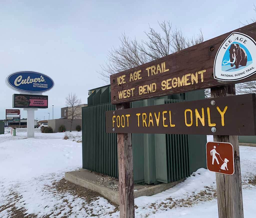
The trail is signed with a set of limestone stairs heading up to a sidling section above a Culver’s. I can hear the whaa-whaa of an order being taken as I head back into a rollercoaster in thick woods. The Ice Age Trail is “continuous” only in the sense that sections are connected by many miles of road walking. The hiker can vary their walk from the suggested route, or get a ride from one segment to the next which is what I am doing.
The sun is warm, heating up an embankment to reveal dirt, moss and a few hardy plants. It’s not the crystalline blue of below 0 temperatures, rather a wide corona shining through high white wisps.
I continue marching along a thin ridge with a sea of mounds below. I’m on an esker which is formed as debris piles up on the rushing water under the glacier. As the water is trapped, it creates pools. Next, the glacier melts and allows the water to crash out and dig deep channels which fill with debris in long thin lines like snakes far above the ground below.
Two riders with fat tires pass, out of breath from the climb. Another couple asks if I come here often and then tell me this must feel toasty warm compared to the Twin Cities. We have come south and are closer to Lake Michigan, so the temperatures don’t tend to reach Arctic proportions.
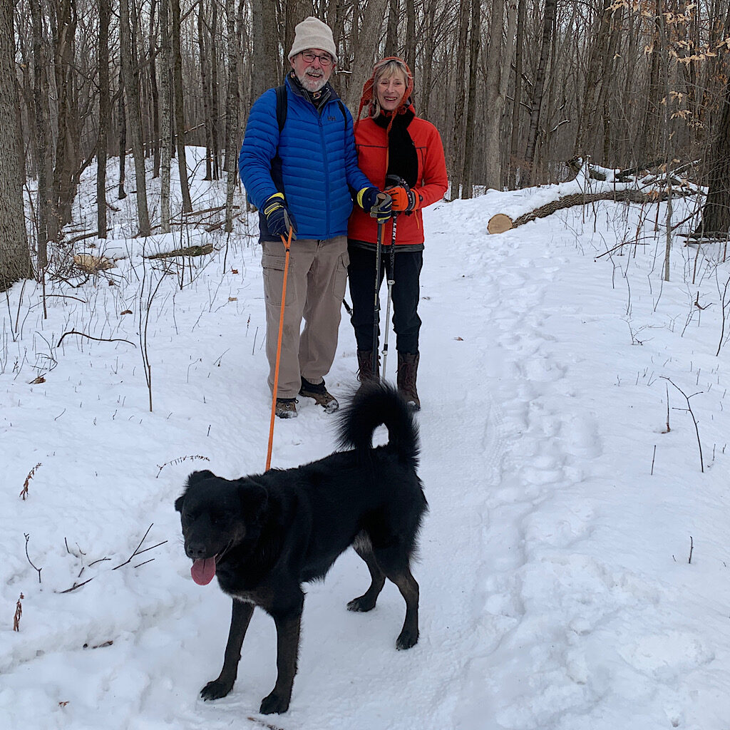
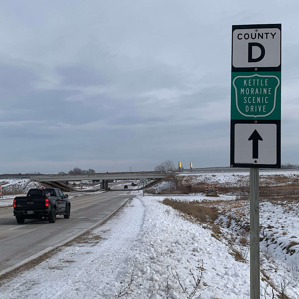
I hear the road below as I pass a small stand of cedar and chattering chickadees. It’s flat now and I can see Richard parked ahead. Fortunately he only waited three minutes – or was it six? We take a turn to head up the aptly named Kettle Moraine Scenic Drive. At first, it’s mostly farm fields with humps off to the side, but soon we begin winding up and down steeply, passing a set of trails near New Fane and an entrance heading south. I hop out and immediately the trail goes steeply up.
And up and up.
This part is bigger and pitched sharply – and I love it. A huge stand of White Pine, their long branches elegantly reaching out and whistling gently in the breeze. It’s quieter here and I don’t see a soul as I head down into a kettle. Someone has placed a bench deep in the ravine in honor of a trail supporter and the view is not to a view, but rather looking up at the ridge above.
I head back up, this time into the silvery sky, the ice glittering under my feet. At the top, the view opens – oddly with no bench – and I can see more ridges in the distance. At my feet are juniper their branches flattened by snow. I wind through pines again, down and down to a parking lot where Richard meets waits, this time holding a cup of coffee. I tell him how much I love this section, so much more wild and varied. The bridge is out two miles ahead, but he assures me he can pick me up at the road, so I walk back into forest passing trunks festooned with fungus and one snow-covered I name a “Snoad Stool.”
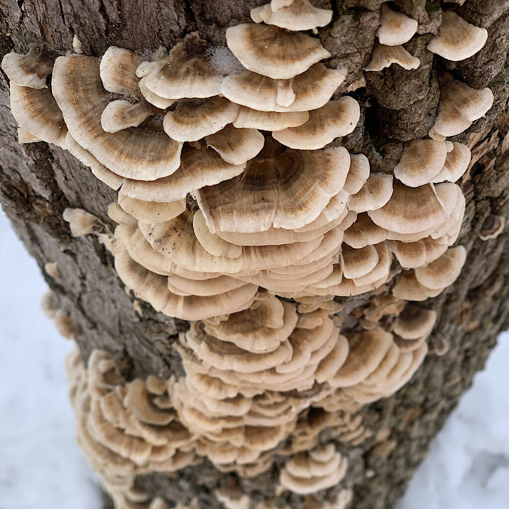
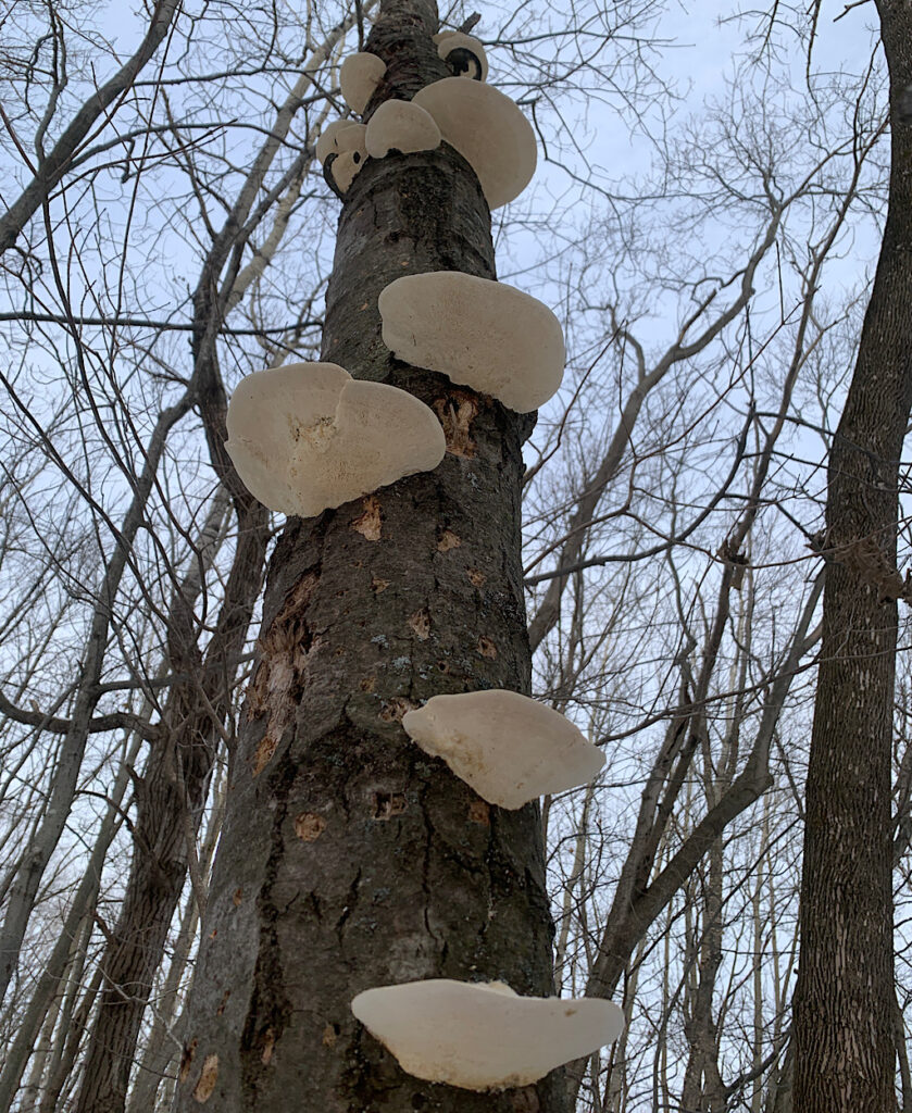
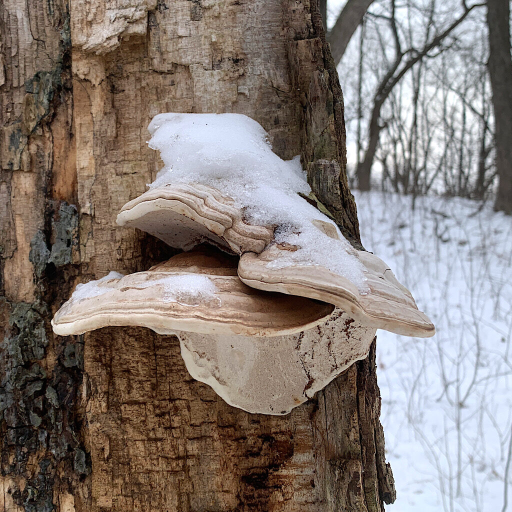
The bridge is indeed in need of repair, two large cranes surround the river like brontosauri feeding their young. It’s a few minutes before 3:00 and I’m fairly certain I have enough time for one more segment called Cedar Lake. It’s only a few miles, but contains two important remains of glacial activities, ones so special they exist in only a few places in the entire world.
The trail begins through a field then again enters a forest, almost immediately as if a land mass were pressed together by a giant’s fingers, causing mounds of earth to squeeze out like play-do. A sign tells me I am in the midst of the “Polk Kames,” a cluster of cone-shaped mounds that are extremely rare, mainly because the formation requires space, so to have several in an area took ideal conditions to create.
I walk through beneath them as if in a valley of rolling earth waves. The forest is thick with gray and white birch at odd angles, plus sturdy Eastern hemlock, their bark peeling. The wind picks up as the weather begins to change. Our friend has sent a note that a storm will arrive tonight and I’m glad I chose today to hike. The trees groan and scrape. I pass a couple just standing to listen.
I leave the forest for an open field, the snow deep here and slowing my pace. I’m atop an Interlobate Moraine, where two branches of the same glacier have met and a kettle formed beneath them. A thick layer of limestone bedrock runs all the way from Door County to the north down to Lake Winnebago’s eastern shore and right through this forest before it ends up somewhere near Chicago.
The sky begins to turn pink and I can see the tops of cars whizzing on County Road NN. Richard is parked in the tiny lot and I move quickly towards him, the wind in my face cool and refreshing. So much time alone today, testing my strength, learning new things, letting my mind wander.
I remember a sign we passed in a small town on our drive out here: Pray, hope and don’t worry. Seems appropriate as I celebrate epiphany and the journey of wise men not entirely sure where the star would lead them, only knowing it was towards the light and worthy of their presence. They certainly carried hope with them along with frankincense and myrrh – hope that what they’d see would change their lives. Also packed in their camels and in hearts too was trust that all things would become clear once they reached their destination.
Walking through these woods on the remains of ancient geologic forces makes me feel small and insignificant in the course of time and yet I also feel alive and present, the crisp air contributing as well as the easy roll of leftover till.
The sun begins to set and the snow turns blue as we head back to our friends’ house and dinner at a funky restaurant in West Bend. Nothing was too hard today or overly grand, but it afforded a specialness that was needed today, something small and prayer-like.
And I got it in just right, a few hours before the storms roll in.


6 Responses
Enjoyed your blog! And you’re so close to us in Waukesha! We would love to see you! We will have to explore the Ice Age Trail around here. I’ve hiked in it southwest of us years ago. Beautiful.
I thought you were in Savannah! It was so cool to explore this unusual part of the country. I was surprised by the varied terrain and the proximity to civilization. A delight!
Alison….ever onward….Terrific photos and knowledge of geology.
thank you, Zola!
Ali, As a (very retired) geologist, I am thoroughly impressed by your explanations of glacial geomorphology. But I’m even more impressed that you took the time to study up a bit on what you were going to see. So much of our “tourism” these days is—superficial—is that the right word? And your knowledge of denuded trees just emphasizes that when you look at something, you really see it! So this description is more than just an account of a wee jaunt—it shows a real depth of experience available to anyone willing to make an effort. Come to think of it, it’s like all your other accounts! Very, very well done, makes me want to see the place myself! Thanks!!!
Many thanks, Dave! I love digging deeper into where I put my feet and learn as much as I can about the flora, fauna, the people, how the trail came to be built, etc. It adds to the richness and fills my curious spirit. I hope I got the geology right!!