Day Eight, 18 miles
I’ve always told Richard I’d like to experience a hurricane from inside a sturdy structure, say, a lighthouse.
He tries to dissuade me explaining the sound would be deafening.
And that’s just about how it is up here on top of Standing Indian.
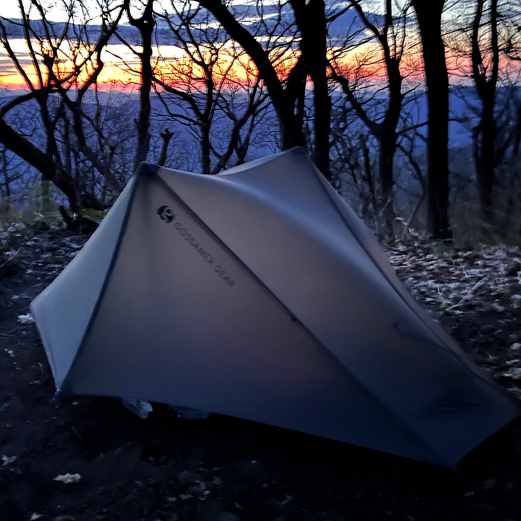
The sunset is stupendous and lingers for hours which I watch cuddled in my tent before falling asleep to the rush of wind.
My assumption that the tree trunks are dead from forest fire may or may not be the case, but none of them have leaves. Still, the wind howls through them like ocean swells crashing on the side of my imagined lighthouse.
It was forecast for 40 mph gusts out of the southwest and I’m somewhat buffeted from the full force. But my tent shimmies and whips with each blast.
I placed rocks on all stakes, but I begin to wonder if the wind could simply shred the tent.
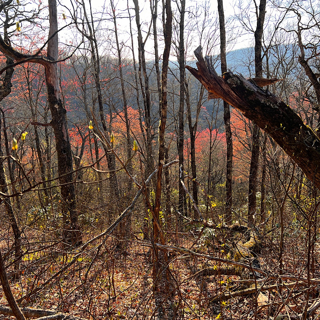
I pop out onto this lovely grass verandah lit by a pink moon. It’s cold now in the low 40s but the sky is clear and the tent looks stable.
Still, things could get worse.
So I make a decision to get out while the gettings good – all by the light of the moon.
I’m well practiced at packing and am careful to insure everything goes in the pack. I stand on the tent as I disassemble it to ensure it doesn’t disappear over the cliff, pack it up, then head down a few steps into the trees where the bear hangs out.
The bear canister I leave stashed above. Sorry guys!
The change in volume just steps away is enormous and I set in relative calm, crawl in and knock right out.
The sunrise awakens me – as does shifting wind which now hits me in the woods. I head back up for my bear canister just in time to see the moon make its exit behind a cloud.
What a night! What beauty in this glorious place and quick action to avert possible disaster.
I grab a bar as I pack up not daring to light the stove for coffee, then set off. Just as I meet the AT junction, I see another tent in the forest.
Why didn’t they come up for the sunset?
Who knows, their loss.
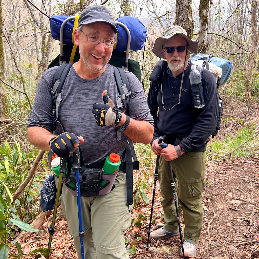
It’s cold as I follow the ridge-line gently down, the wind blocked completely and playing tricks on my mind. It’s a gloriously cool morning as I aim myself to a good coffee brewing spot.
The trail is (mostly) gentler today following the ridge which requires a gigantic U going south, east, then west before heading north again.
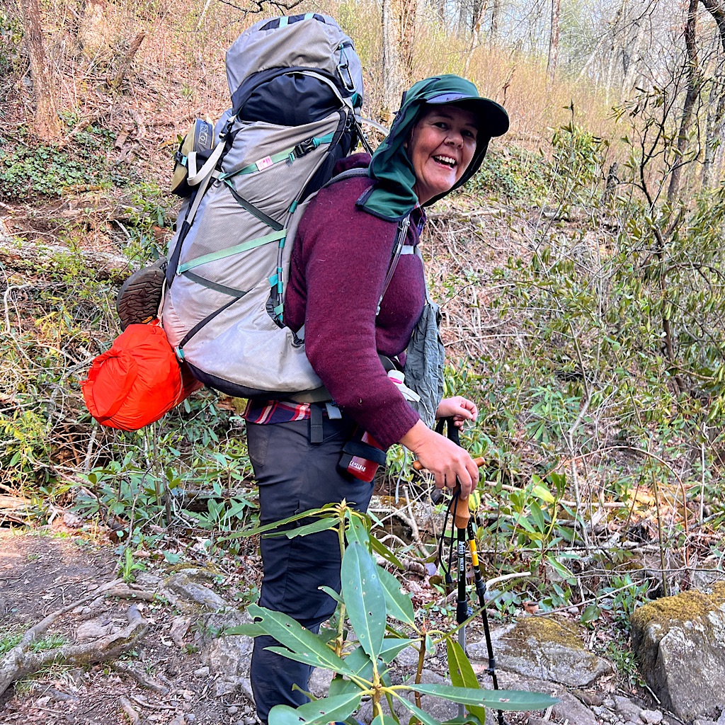
Black throated blue warblers buzz from the red buds as I pass a shelter then a series of streams. At the final one, I find a small nook where I can sit and make coffee off the trail. It affords me a front row seat to each hiker coming by and negotiating the stream crossing on rickety rocks.
First is Rose from Australia who tells me she lives in the tropics and this feels very cold, also that she loves hiking in the gloom – which it’s fast becoming.
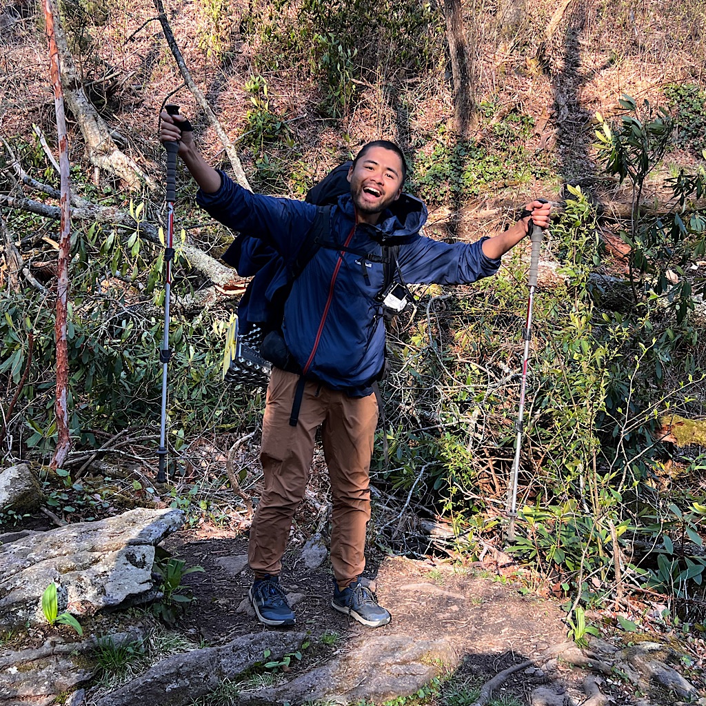
Next, a Japanese hiker comes through with a frisbee attached to his pack for Ultimate. He does not know the word ‘blissful,’ but tells me joyous is ‘youki’ in Japanese.
Bill is next wanting to know every detail of my hike, unsatisfied with my answer of going as far as I feel like.
Eventually, I pack up and toddle on into the aforementioned gloomy day, dark and brooding. There’s a slight chance of rain but mostly it’s cool in the wind which I love.
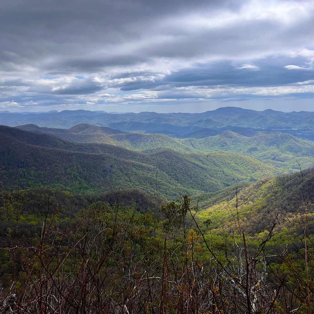
I wind around with views through trees to the big rounded mountains, sometimes partly lit up by the sun peeking out of a cloud.
When total views open up, it’s stunning of folds of mountains, each a lighter shade of blue into the distance. Big Mountains appear to with striking shapes and I think it must be the Smokies, a thousand feet higher than these mountains.
I stop with Rose for the view and like her right away, taking her time and ‘toddling forth’ as I am. But I toddle a bit faster to a water source where I have lunch with Yoshi who brings, of course, titanium chopsticks.
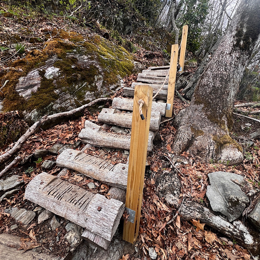
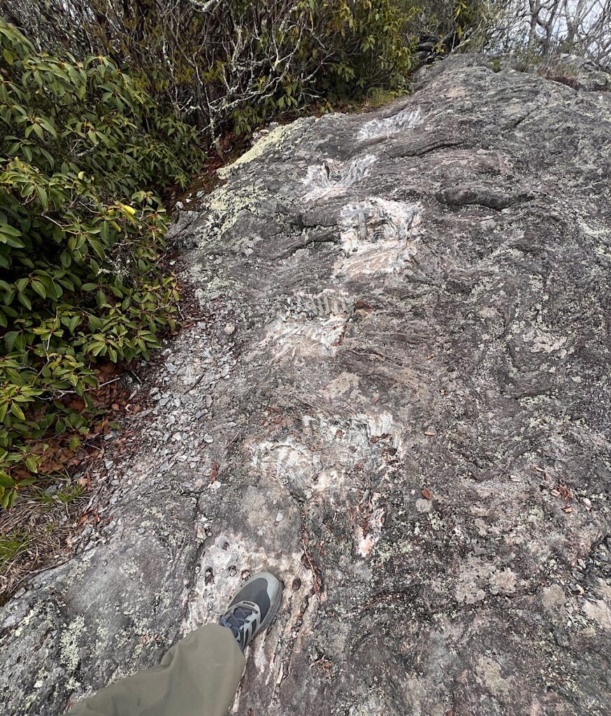
It’s a good climb towards Albert Mountain at 5,223 with views into the Coweeta Basin, then straight up about 2/10ths of a mile on rock, similar to Maine except this time stairs are either built or blasted into the rock.
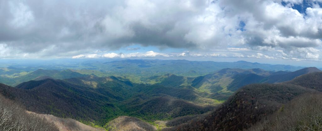
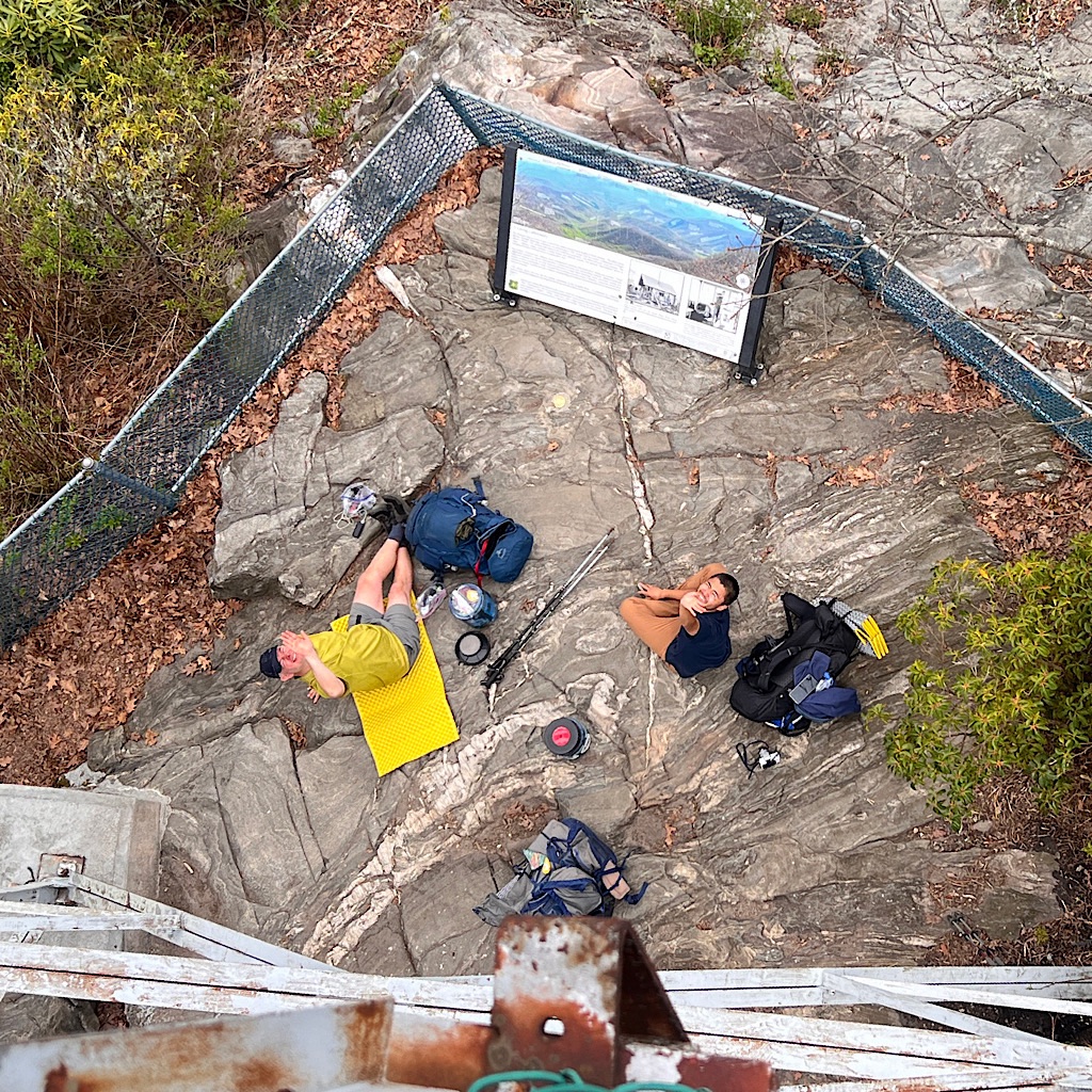
Phil from last night is there with Yoshi and we take pictures, eat and hang out in the perfect weather. I see rain falling in tiny spots, but not on us. It’s fun to be here with foreigners who are amazed that the trail exists at all and the wonder of so much wilderness.
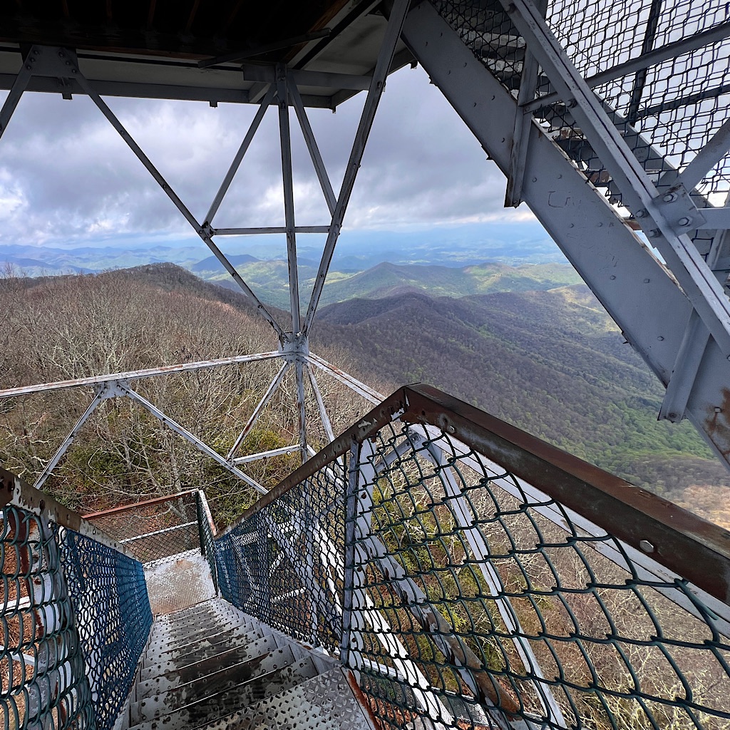
A National Historic lookout, the tower itself is locked to keep out vandals, but the stairs are open to climb for even better views. This mountain environment spans from 2-5,000 feet and has been studied for decades by foresters to determine best timber extraction practices to preserve the environment.
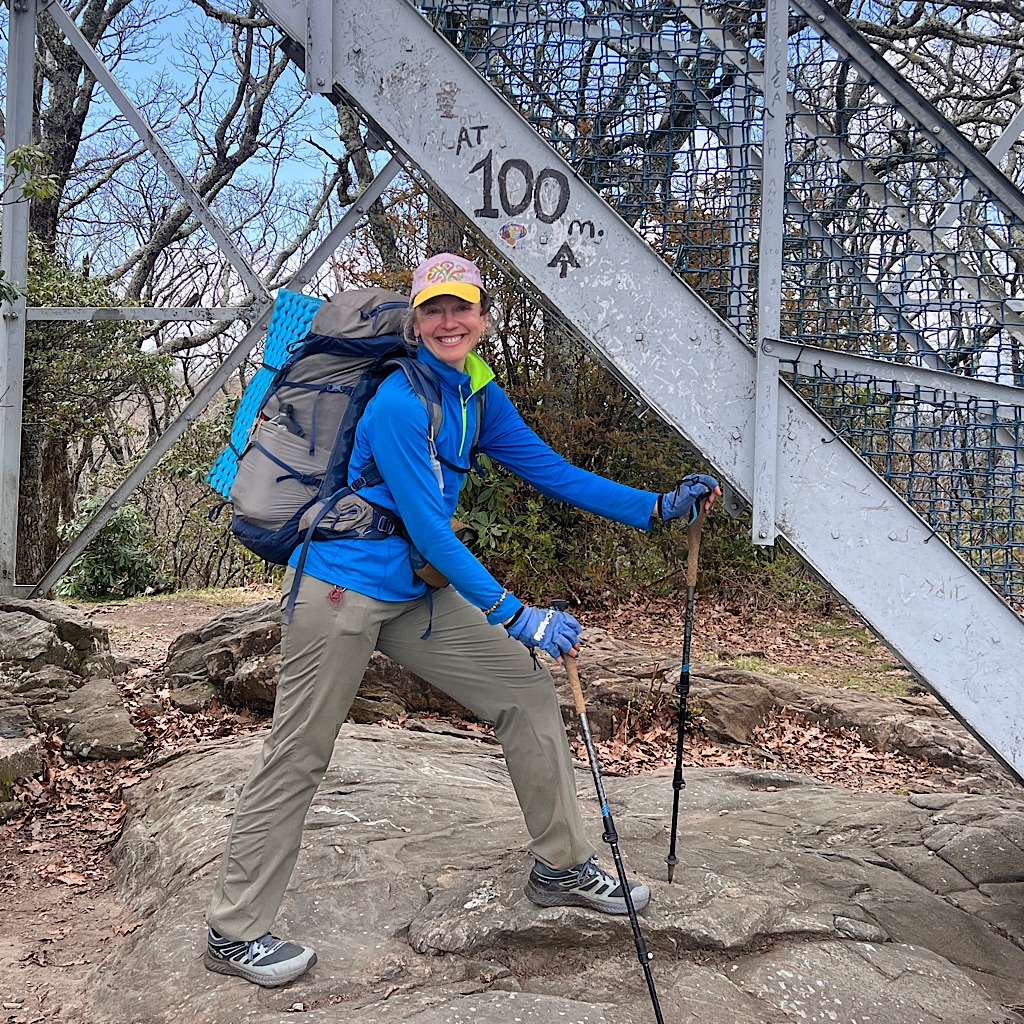
Someone has marked mile 100 so we all pose in front of the milestone. Though there does seem to be a bit of contention on just where the 100 mile mark ought to be as I pass 100 spelled out in rocks, sticks as well as painted on a tree one after another as I leave the tower.
It’s not important since I walked the approach trail and so passed my 100 mile mark nine miles back.
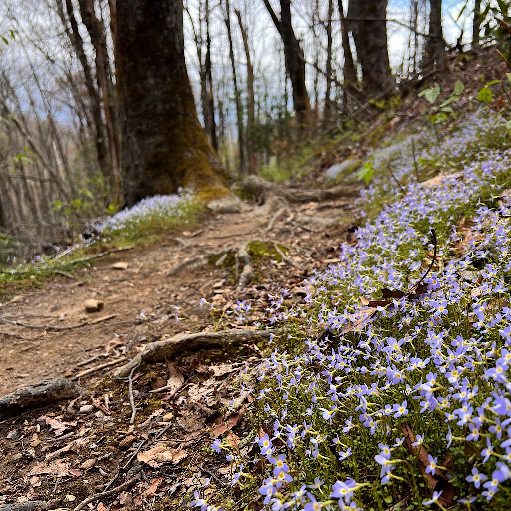
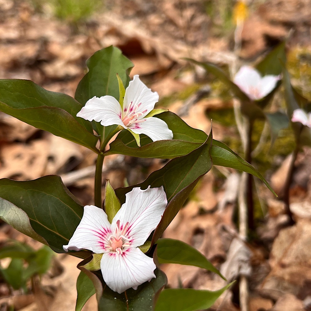
The trail is easy as it enters a ‘green tunnel’ of magnolia, then goes steeply down to a trail junction and up again through a magical scene of springtime.
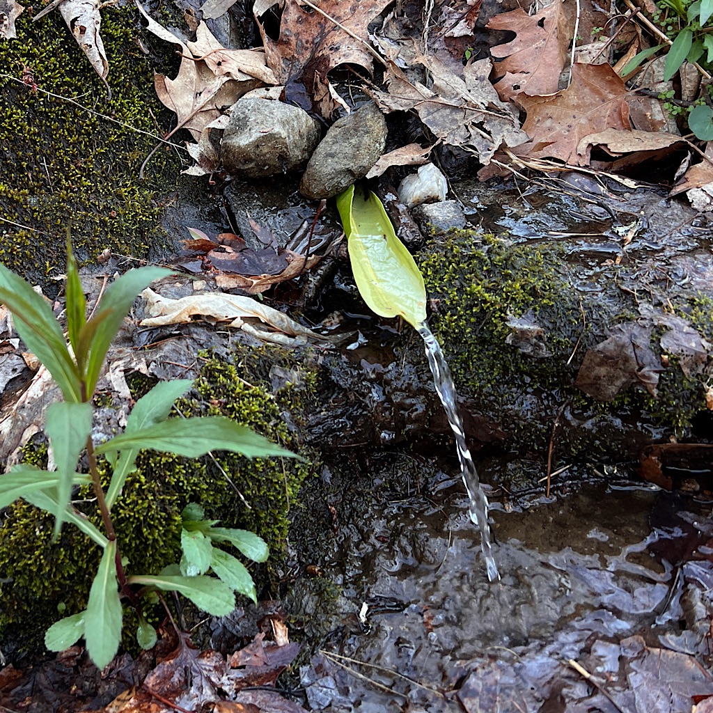
Aaron Copland named his famous piece, “Ballet for Martha (Graham)” and she suggested calling it Appalachian Spring, not so much for the season but for a water source mentioned in a Hart Crane poem.
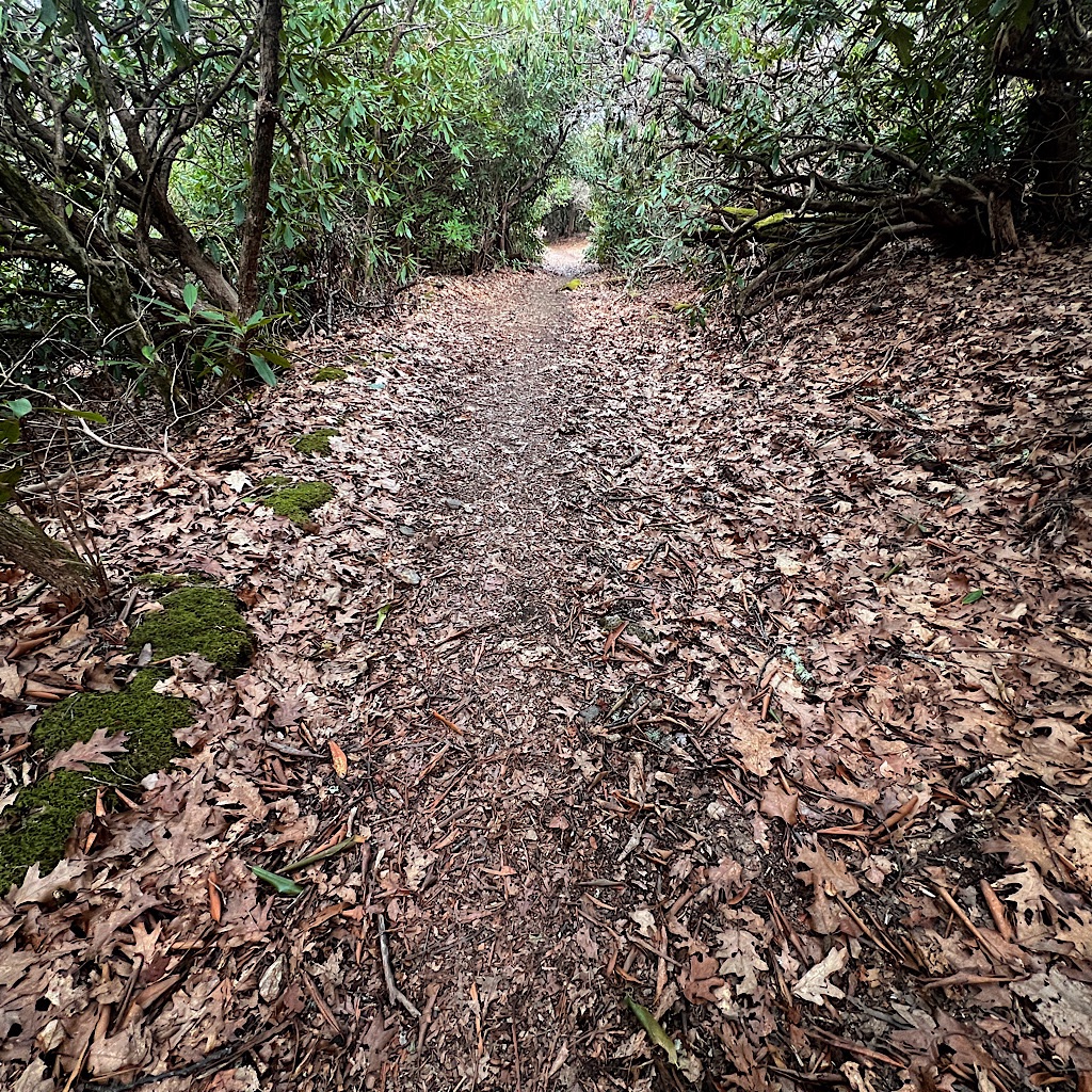
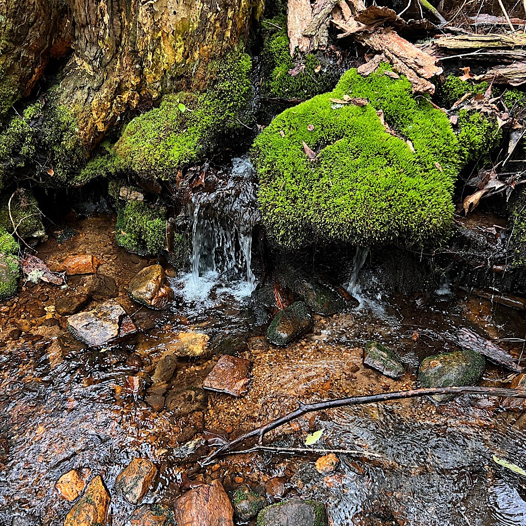
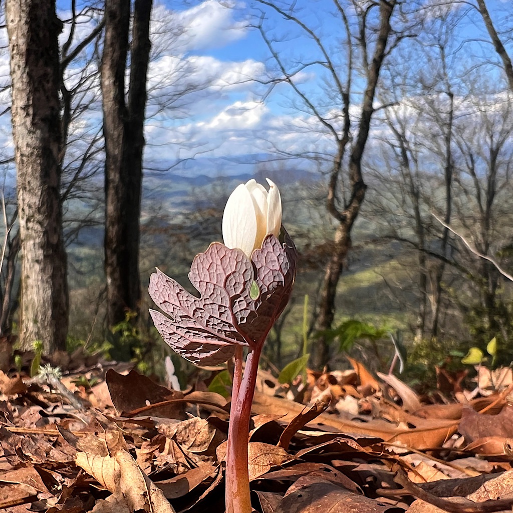
I come to such a spring, gurgling over the extended roots of a tree in three channels, its cataract pouring into a crystal clear pool. Bright green moss clings in bunches and magnolia creates shade.
I get a final drink for one more uphill and more views to the blue ridge before heading down to a campsite.
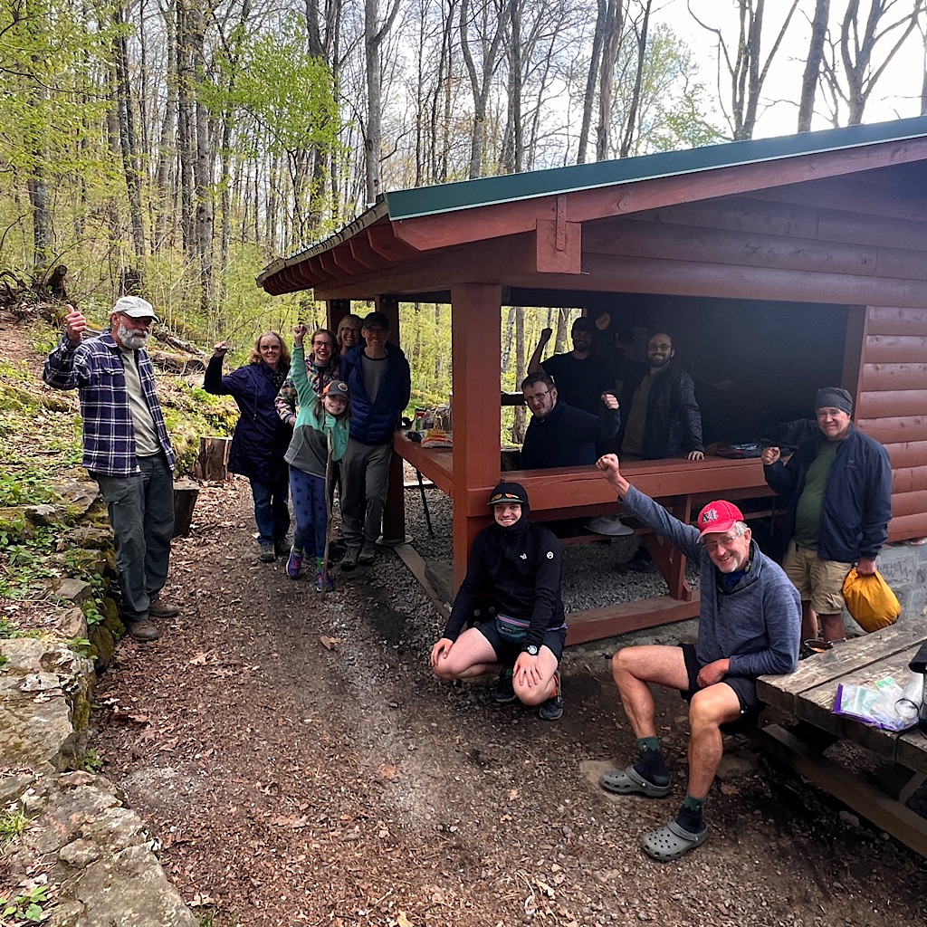
The beautiful shelter here was recently constructed and dirt tent pads built nearby on flat shelves. I am the only woman in a group of ten or so and we gather around a fire to make dinner. It’s a great group to talk and laugh with about all kinds of subjects, like the most unusual food we’ve ever eaten.
I’ll like seeing these hikers again on trail and after two nights in my own, it’s fun to stay together.


2 Responses
Hi Alison,
I’ve been enjoying your wildflower tour of the Southern Appalachians…they do know how to do Spring down there. And I was especially excited to read about your visit to the fire tower above the Coweeta basin. I visited that tower as a graduate student in the 1970s, and have spent a fair amount of time working on stream projects related to the forest watershed management practices.
Thanks for the trip down memory lane.
Brian
That is SO COOL! The signs at Coweeta Basin explained how important this particular place is for understanding environmental impacts. (it was alos the 100-mile mark!) Spring was breathtaking as it emerged. We were on ridges so much, water was actually a bit of an ordeal as far as carries and ensuring I had enough. Such a special place and the month was exactly right!