
AZT day 24, East Verde River to past Hwy 87 (Mogollon Rim) 20 miles
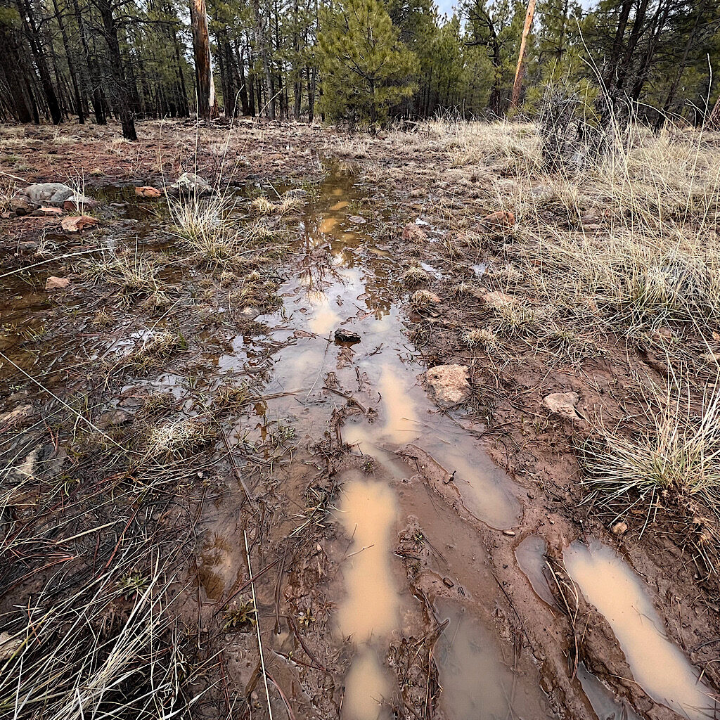
The trail is rocky and steep to the rim right into deep snow drifts then mud.
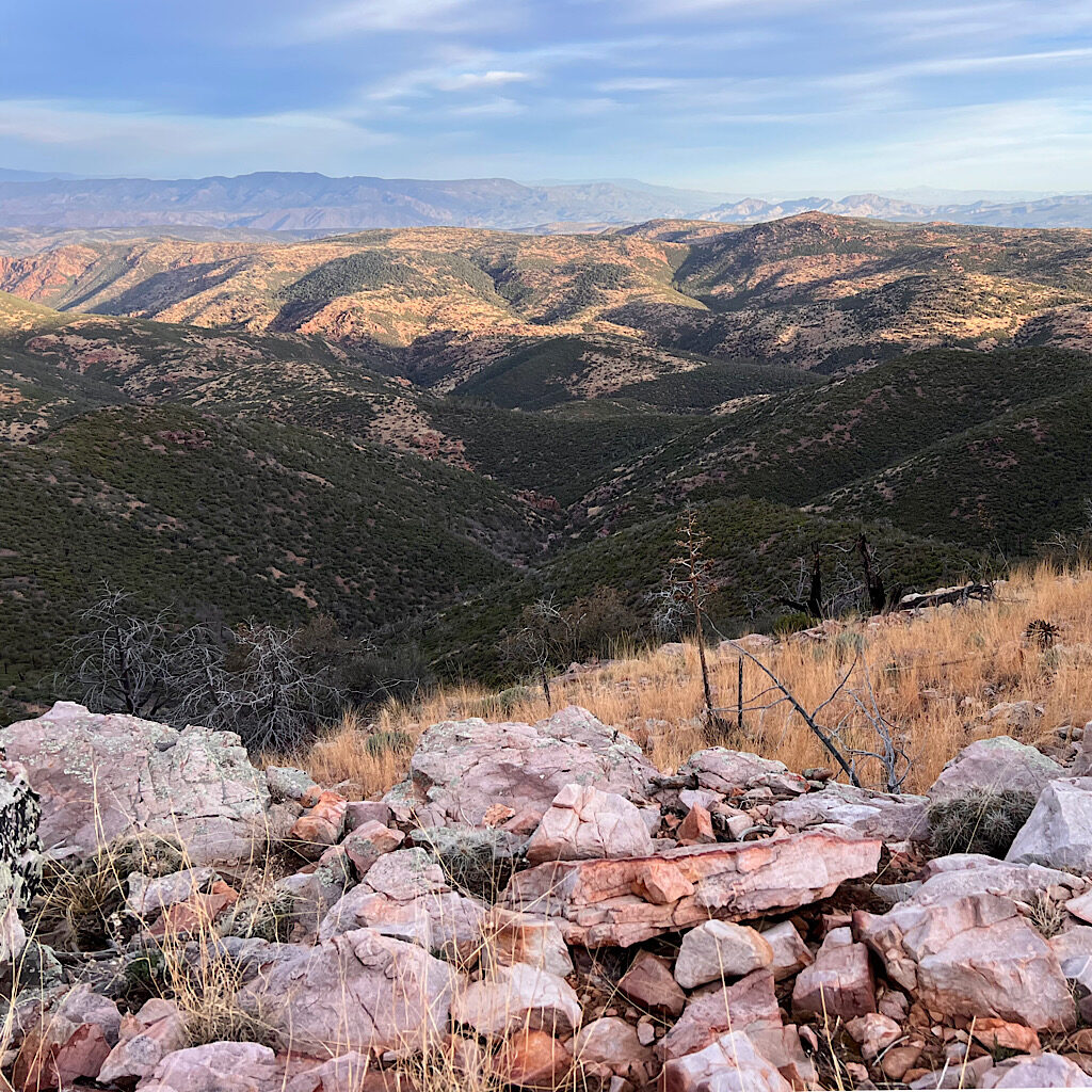
AZT day 23, Pine to East Verde River (Highline Trail) 19 miles
The storm cleared the air and I walk under the colorful rim on red rock with big clouds overhead.
AZT day 22, White Rock Spring to Pine, 14.5 miles
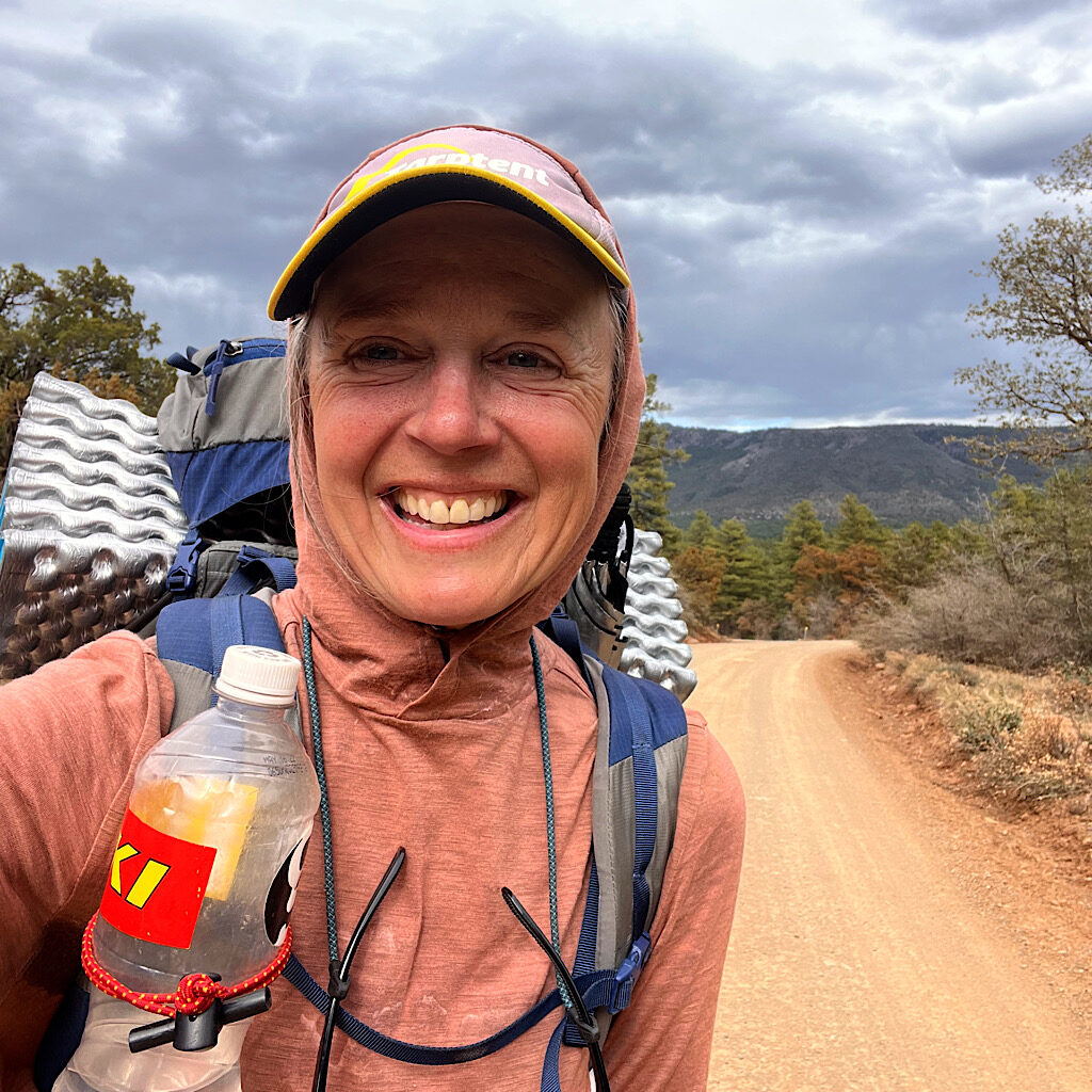
It’s mostly easy trail but filled with hard-to-walk-on rocks all the way to a shortcut and a ‘zero.’
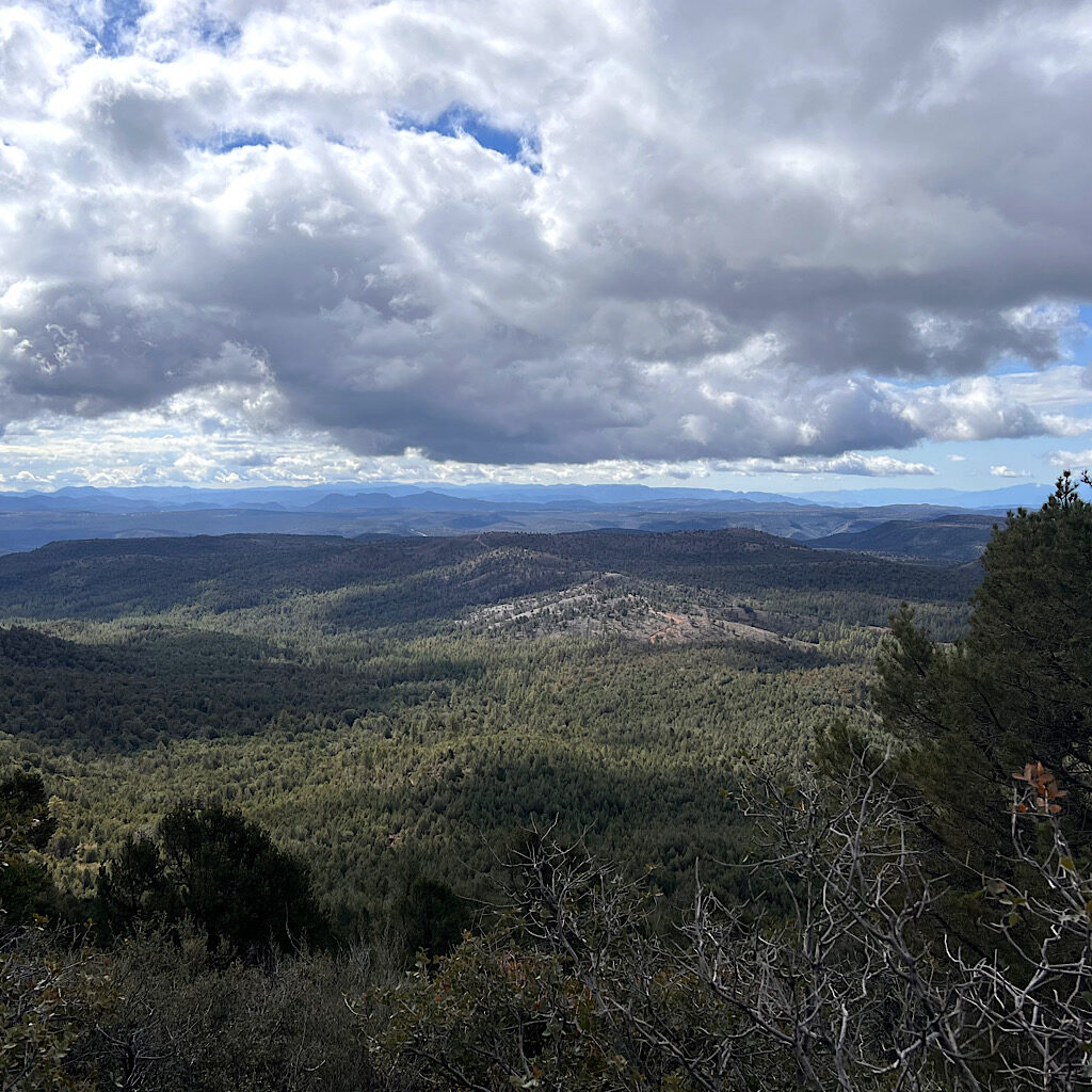
AZT day 21, Hopi Spring to White Rock Spring, 21 miles
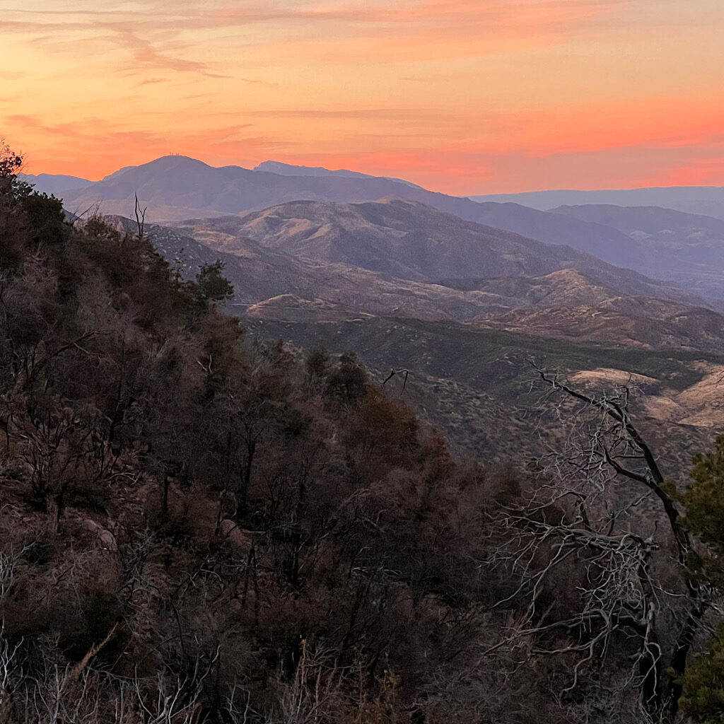
The views are huge and unspoiled, so remote and almost overwhelming.
AZT day 20, Thicket Spring to Hopi Spring, 19 miles
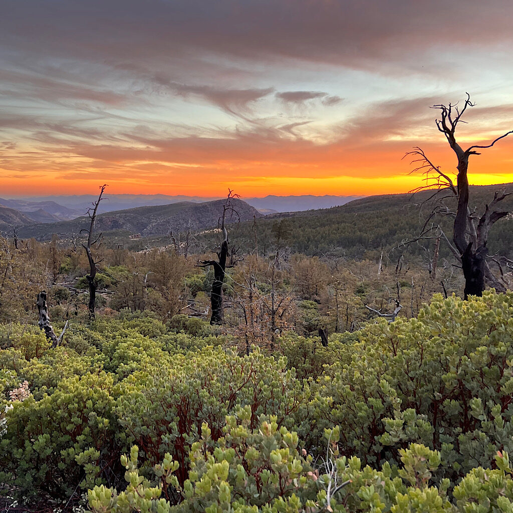
The trail winds around deep canyons to stay high with snow, wildflowers, gnats, gorgeous water and a stunning sunset.
AZT day 19, Beeline Highway to Thicket Spring in Mazatzels, 16 miles
I begin the Mazatzals on a gorgeous day, ‘cruisey’ and beautiful as I try to push through before snow.
AZT day 18, Boulder Creek to The Beeline Hwy (Payson) 4.5 miles

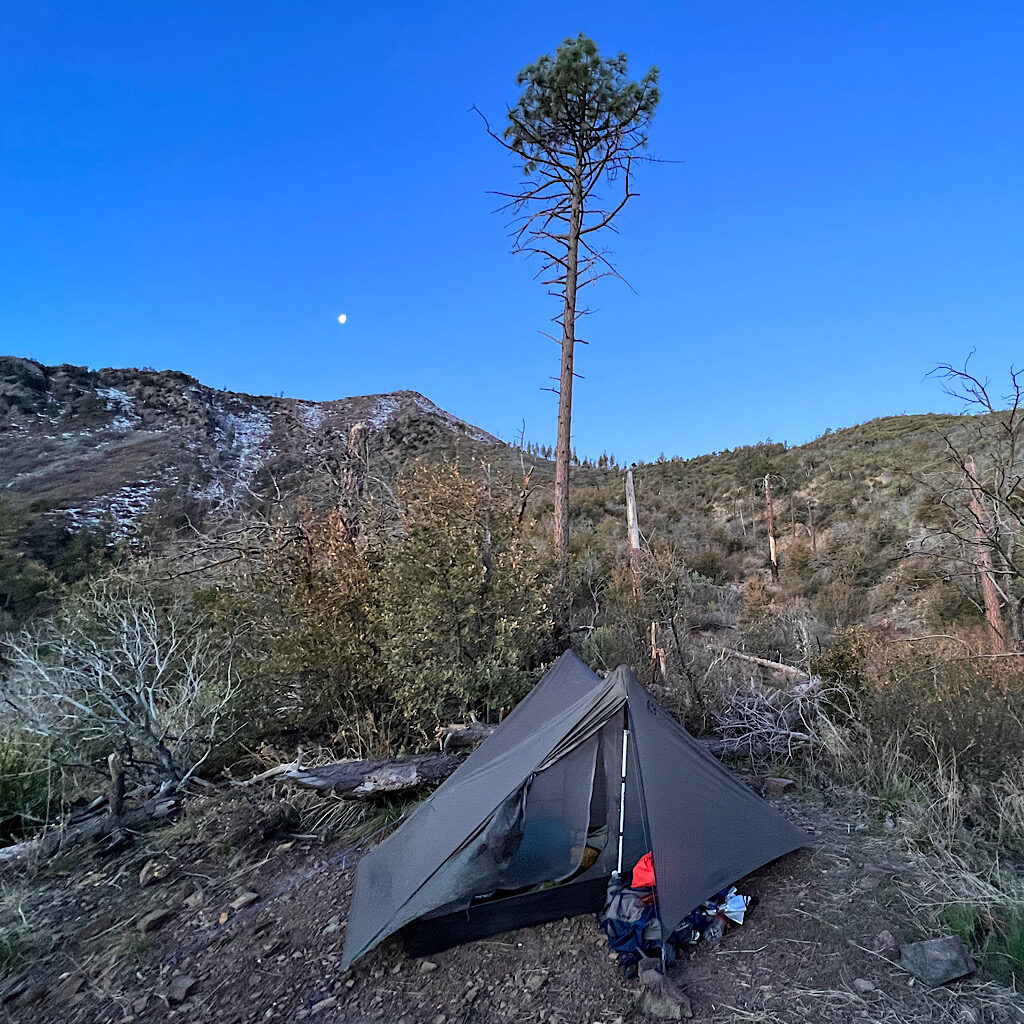
Sleeping on the grass is a bad idea and I puncture my mattress, but serendipity leads to a replacement.
AZT day 17, High Spot to Low Spot next to Boulder Creek, 18 miles
A road walk leads to beautiful Boulder Canyon and sleeping with frogs.
AZT day 16, Vineyard TH to High Spot in Four Peaks Wilderness, 16 miles
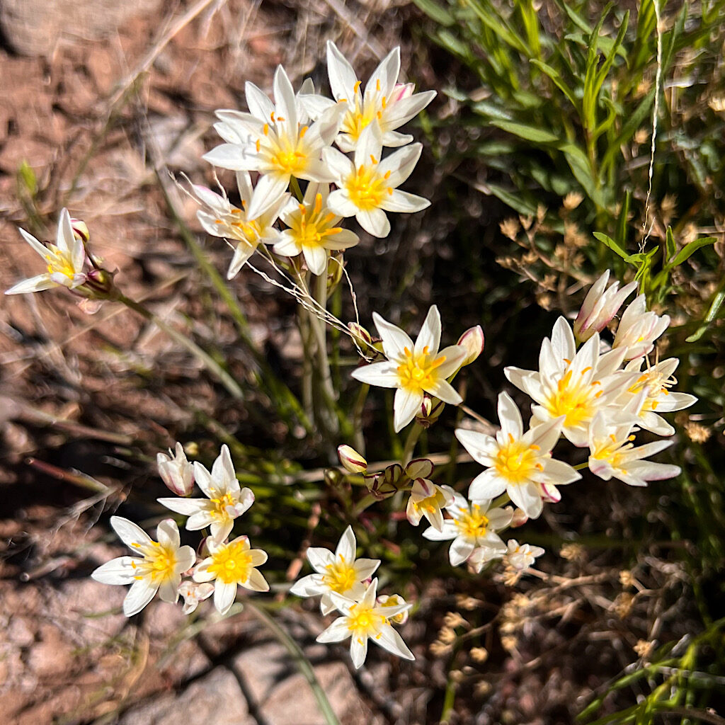
It’s a steep flower-laden climb to Four Peaks and a spectacular balcony walk.
AZT day 15, Walnut Spring to Roosevelt Marina, 15 miles

The final day in the Superstitions is very hard on steep, loose rock but with astounding views.
