What a fantastic day.
I woke with a gorgeous sunrise turning the distant mountains lilac and the sky orange sherbet. Last night I marched around trying to pick the best spot and settled here, getting both a sunset and sunrise show, with a bonus morning star to wish on.
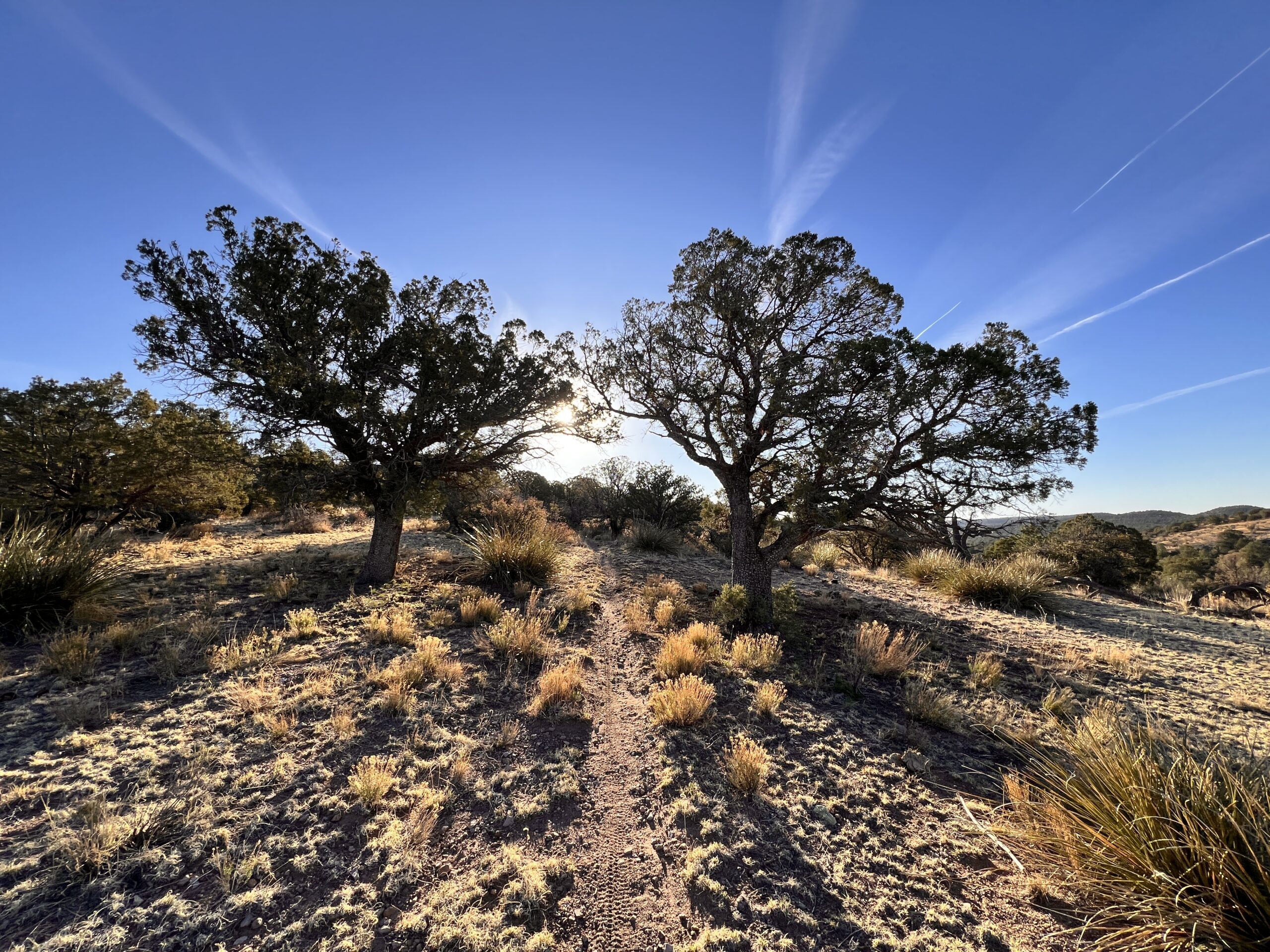
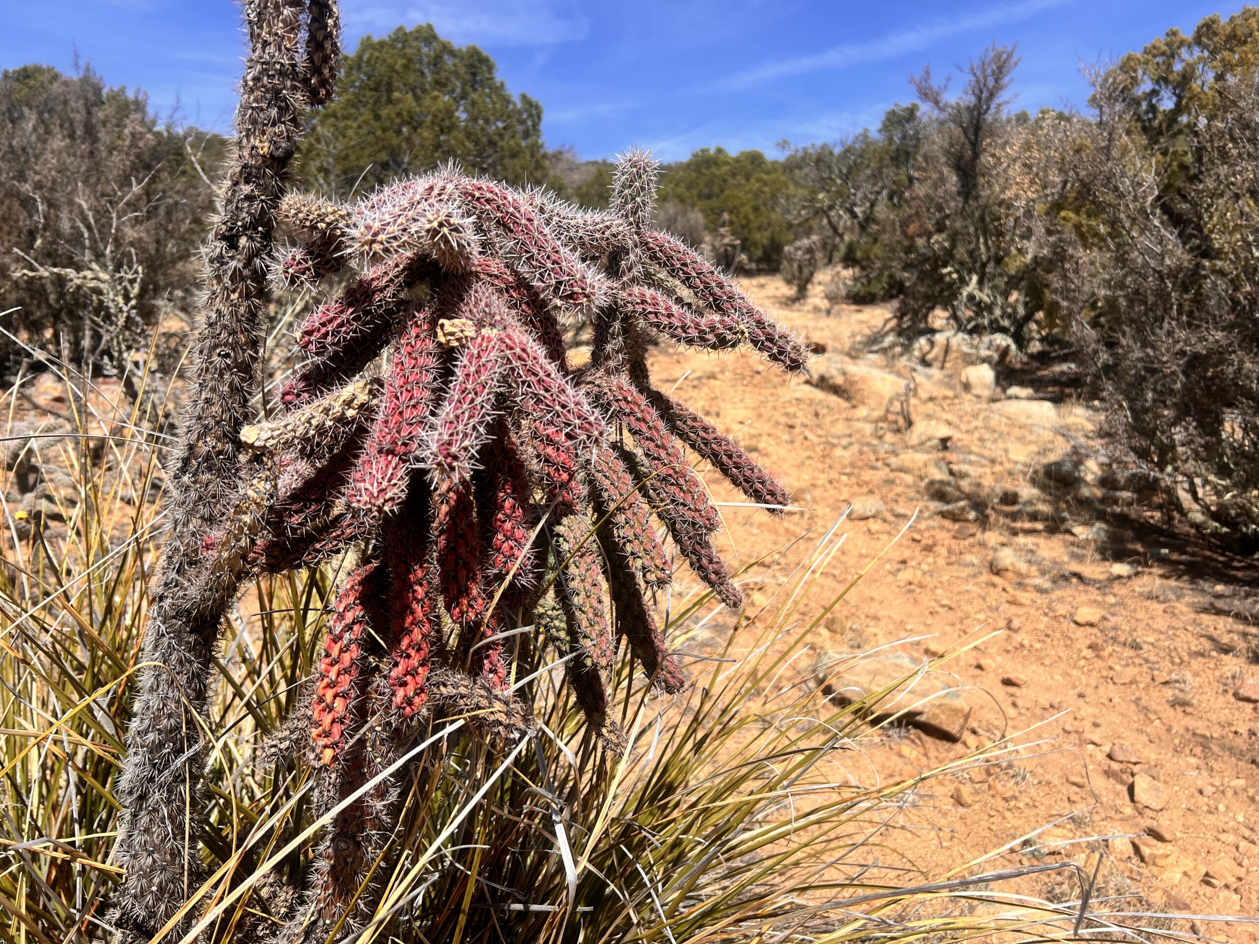
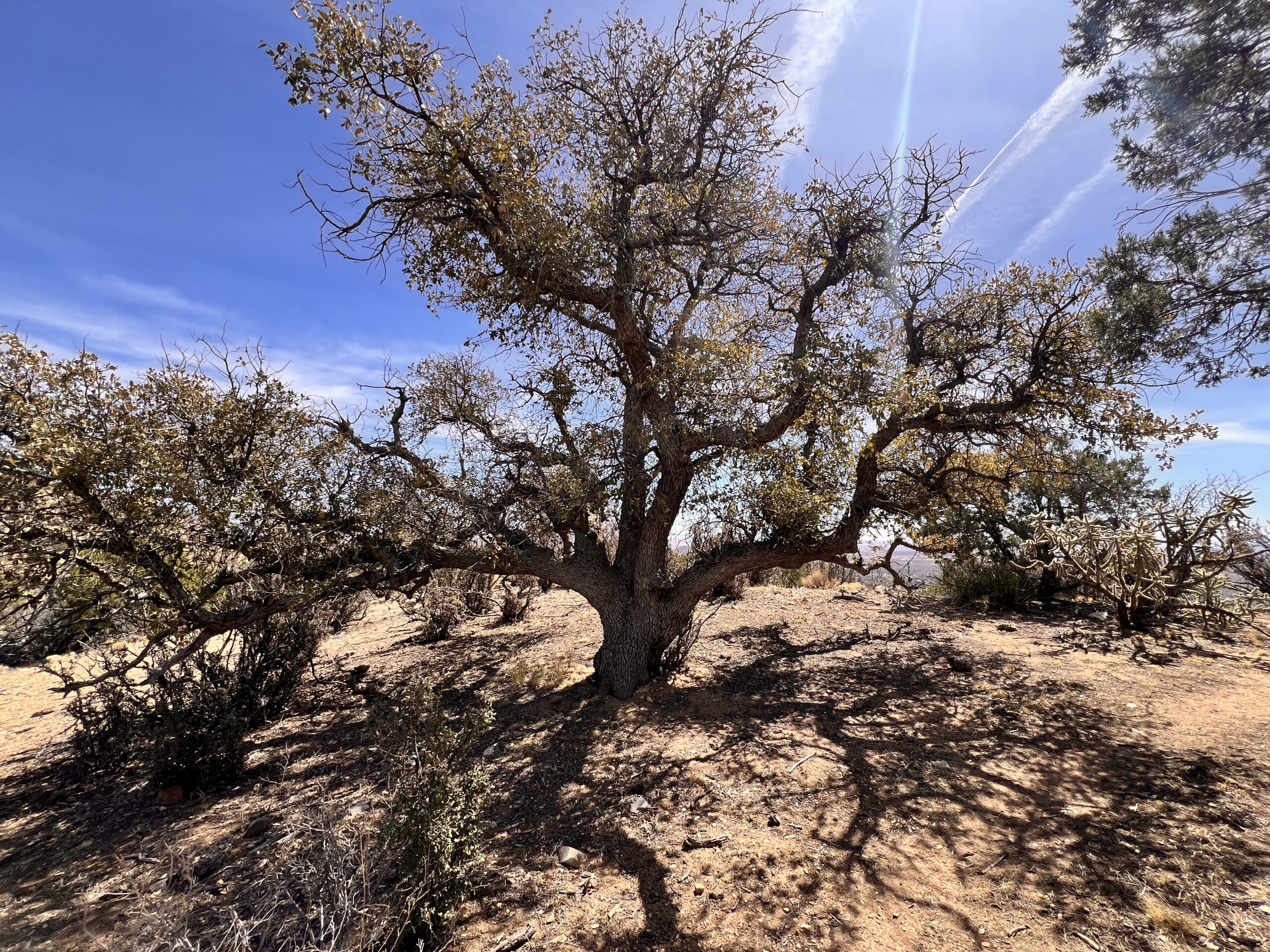
The trail is a pinyon and mesquite lined balcony walk, a few Dr. Seussian cholla and prickly pear to remind me where I am.
It really is easy going, the sun up now and warm but a breeze keeping things comfortable. I continue memorizing my talk as I go, only taking one wrong turn requiring a uphill backtrack – ugh.
In the distance I see the big mountain I’ll climb later today. Jack Peak sports ten or more antennae but I’m pretty sure I scale an even higher one.
This rhythm is just right for talking to myself. The ups are short, mostly coming out of dry washes. But I don’t feel distracted, rather I’m totally present in this beautiful moment, utterly alone.
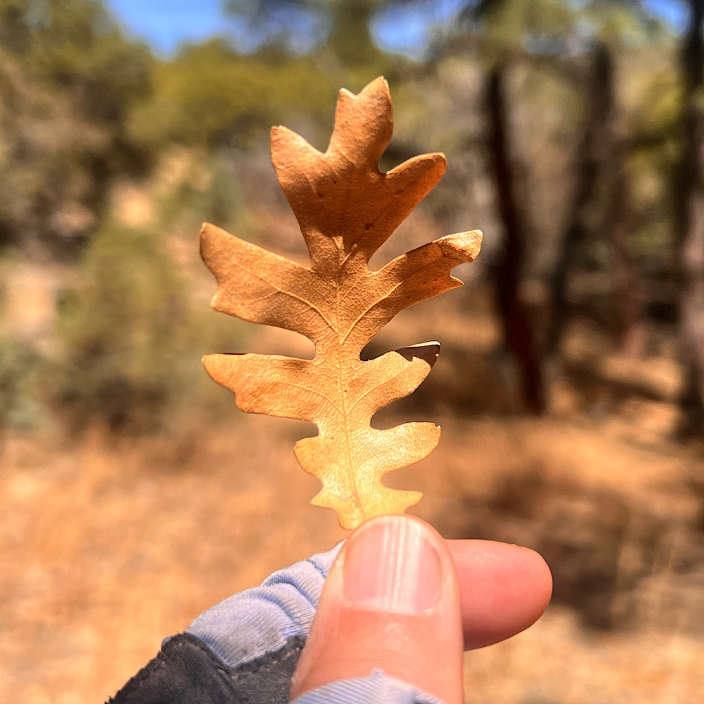
Funny I’ll remember this curvy trail when I give my speech, seeing the huge blue sky above me, the sandy ground under my feet and the evergreen trees. Ah, there are oak here too, two different kinds.
I reach the trail to a solar well which is said to have good water, but I have enough and a cache is only a few miles more.
The trail winds in and out of the washes and I begin to see bike tracks, but no bicyclists as of yet. Still just me plodding through all alone and loving it.
The cache is fantastic! Near a parking lot right off the highway, whomever is stocking this took advantage of the ease of delivery. There are 25 or so gallon jugs of water, five boxes of soda and one large chest filled with bandaids and medicines. To add to the atmosphere, a disco ball twirls in the wind and several Mardi Gras beads hang in the trees.
I crash in the shade and sip a soda, cameling up for the big climb. I am incredibly grateful for this cache. No one, as far as I know, pays trail angels. They do this to help make the trail possible. There are a few springs and pools of water from seasonal seeps, but the water carry would be very difficult without help from the angels. I am so grateful.
Filled up and ready to go, I push on to the parking lot. Aha, there are the bikers. An older man named Tim calls to me, “You must be a thru-hiker!”
I tell him I’m actually a section hiker doing a LASH, a Long Ass Section Hike. We talk trail and he underscores I didn’t miss anything skipping the Bootheel, which he calls the “armpit of New Mexico.” He also advises me on what’s ahead and to be careful after leaving the Gila.
Chatting about ourselves, I discover that he’s also from Saint Paul, retired living in Silver City now.
Of course I ask if I can camp on his lawn and he tells me he has no lawn, but offers up his friend Miriam another biker in a wildly colorful outfit just arriving. She is delighted to have me over and hands me her card.
Aw, I love this kind of connecting. I’ll state for the record right here, anyone is welcome at my home and I’ll even offer rides to the trailhead – Ice Age Trail, Superior Hiking, etc.
I finally need to get on my way and promise to call when I get closer, then begin the long climb up the mountain.
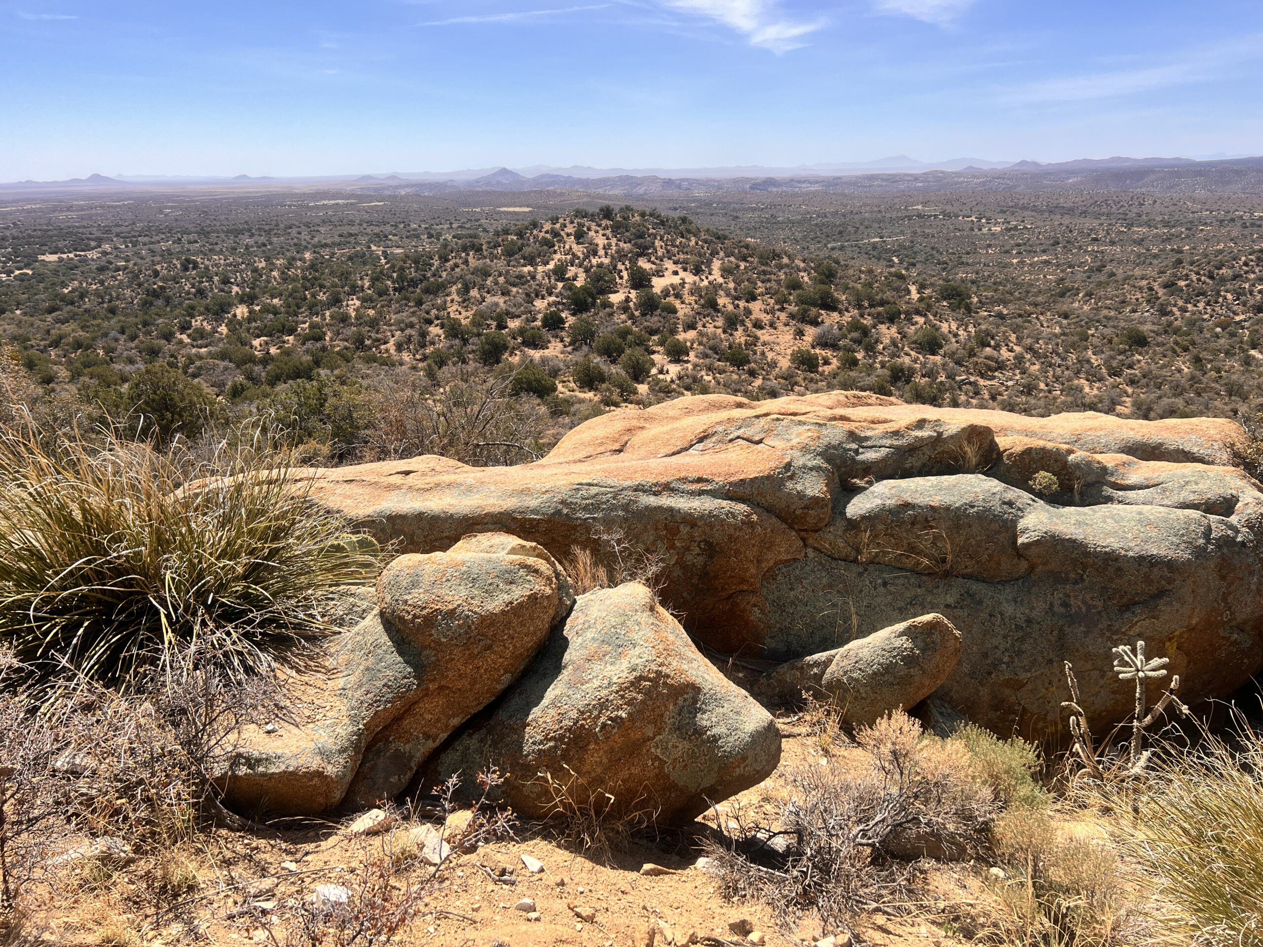
I have superb views as I rise on well made trail, switchbacking and never too steep. Far out to where I was walking yesterday morning, the wind whips up massive sand tornados. I’m happy not to be out there today.
Beautiful trees line my path including oaks, pinyon and jack pine. The trail reaches a ridge and doubles back to stay high and gain the next ridge. I go slow and breathe steadily, though oftentimes I am traversing or even heading down.
The one very special quality of mountains in the west is that you can usually see where you’re headed. At first I hit a ridge thinking this must be the high point, but soon, I summit it and see across a vast canyon Jacks Peak.
Am I meant to climb it? I reach a dirt road just as two ATVs fly past noisily flinging up dust. The CDT sign points across. Nope! I am passing it and going for another peak.
I skirt around Jacks’ rump then and come in a sort of U-shape around the chasm then see I’ll have one short steep bit to the top of Burro Peak at 2,445 feet, about 20 feet higher than Jacks.
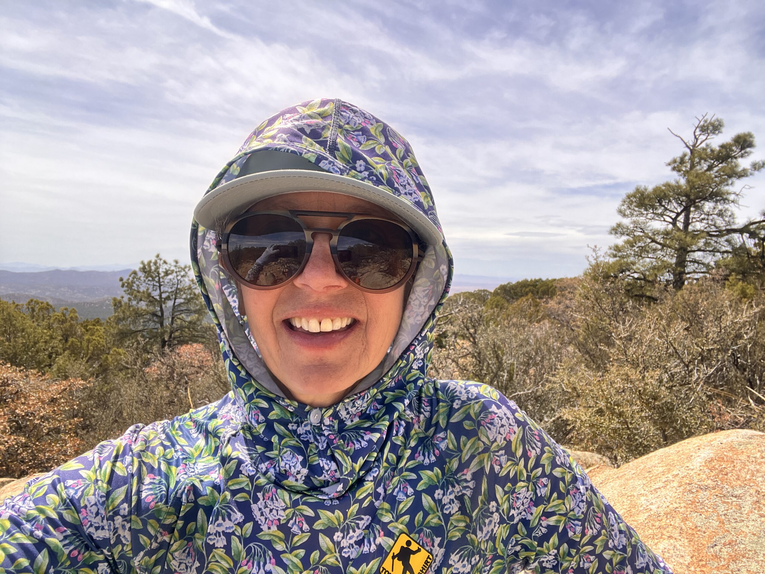
I move steadily up the steep slope and come to a rocky outcropping with a lovely natural chair for my bottom. Here I sip a second soda I helped myself too from the cache and marvel at the altitude I gained so quickly.
It’s windy and wild so I decide to make lunch below at a spring. A complicated system of tubes captures this water into a trough so I’m fairly certain there’s water – at least hoping.
It’s very steep heading down into a forest of enormous ponderosa pine. The odor is absolutely intoxicating as I walk on a soft bed of needles.
Ponderosa has a beautiful bark, light reddish brown with black shapes along it. The light filters into this magical space, such a contrast to the harsh nothingness of yesterday morning’s desert walk.
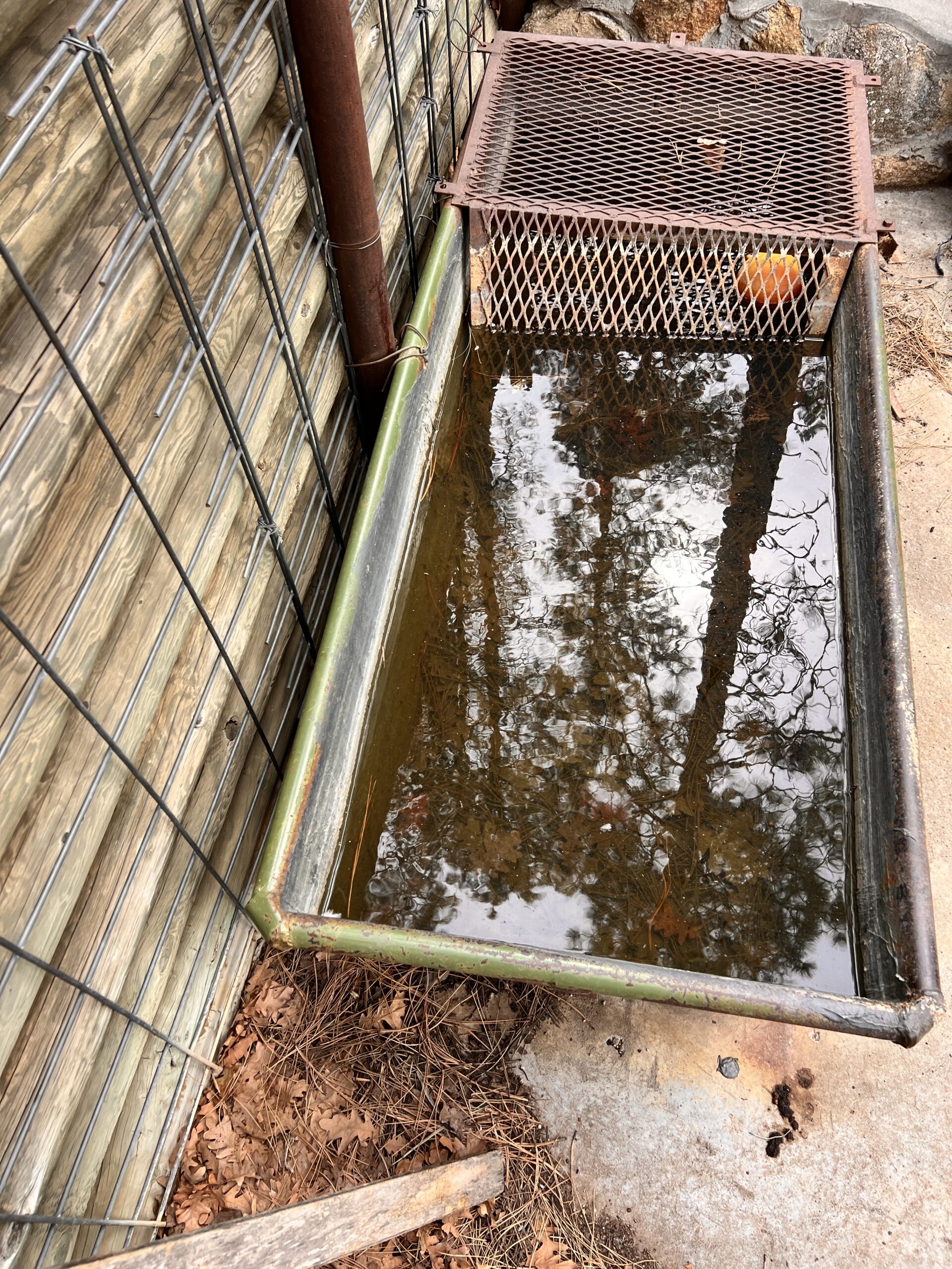
I soon reach the spring. A large trough is full set into a wall supported by beams. I need to scoop deeply to get past a few dead bugs, but the water filters clear and tastes wonderful.
The map app lists several more water sources, but they have been dry for years. I imagine it would need to be right after a heavy rain to count on any of these.
Still, I bank an intermittent stream called Maverick. Recent notes report pools of water and a photo shows rock, a good holding tank for those pools.
As I descend going in and out of bone dry, clouds fill the sky and the air gets chilly. I wonder if it will rain and kind of hope so to fill up the pools.
I lose the stunning ponderosa, but still walk through gnarly pines and oaks, looking out towards not mountains but mountainous slag heaps from an open pit mine.
As I pass one dry stream bed after another, I begin to wonder if maybe I should have loaded up more water at the spring, a known source.
I have only two liters and it’s a long way to a sure source, over 20 miles.
The trail dips and bends, still lovely even in gray, but it matches my mood of concern. I pass through a squeaky gate, held steady by s weight and know I’m getting close.
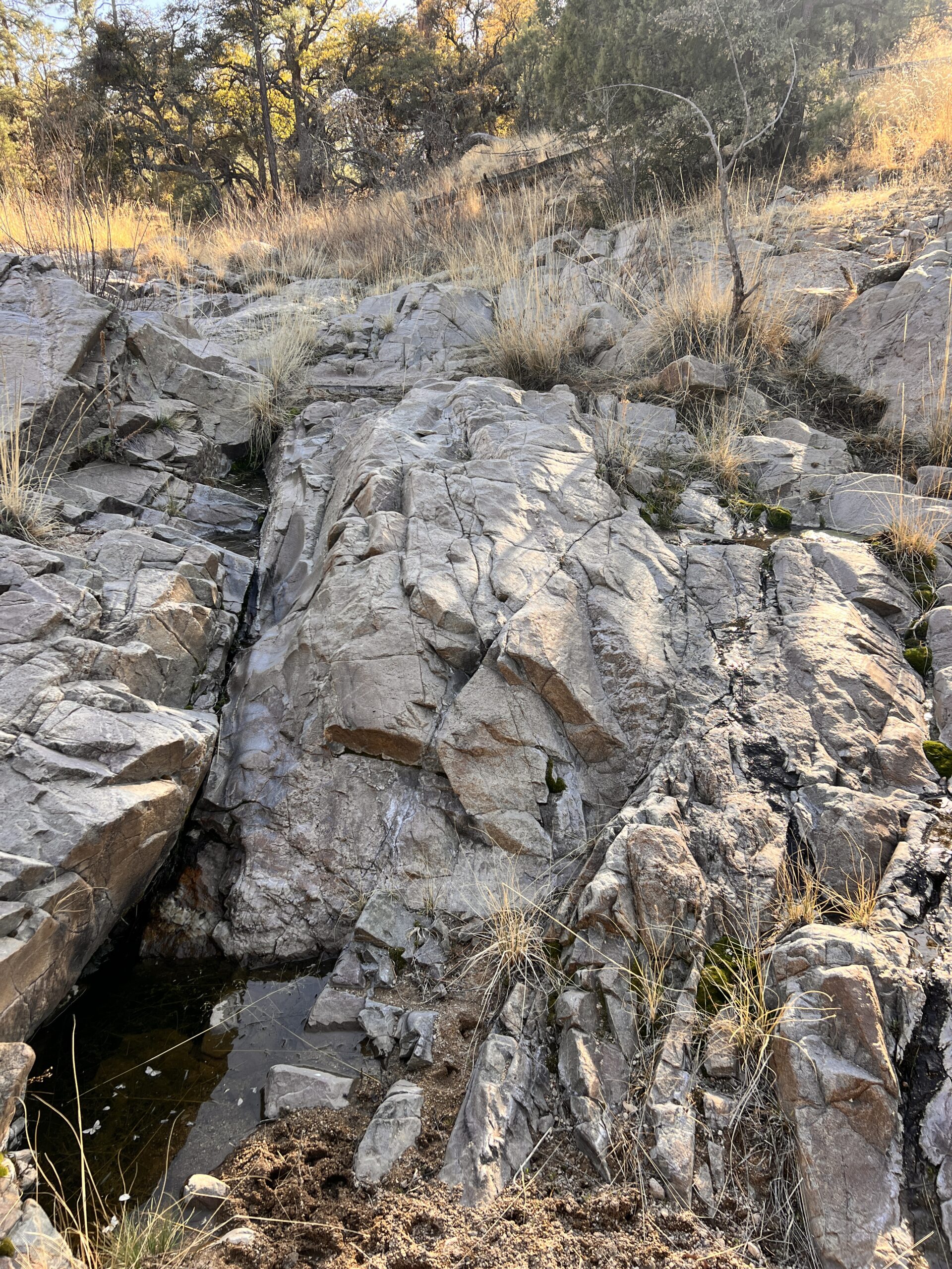
Rounding a corner, the trail dips down and I see the lovely stair stepping rock, smoothed by years of monsoon rains. Moss grows on an area where a faint trickle of water seeps down. Yes! There they are, two small pools still filled with water.
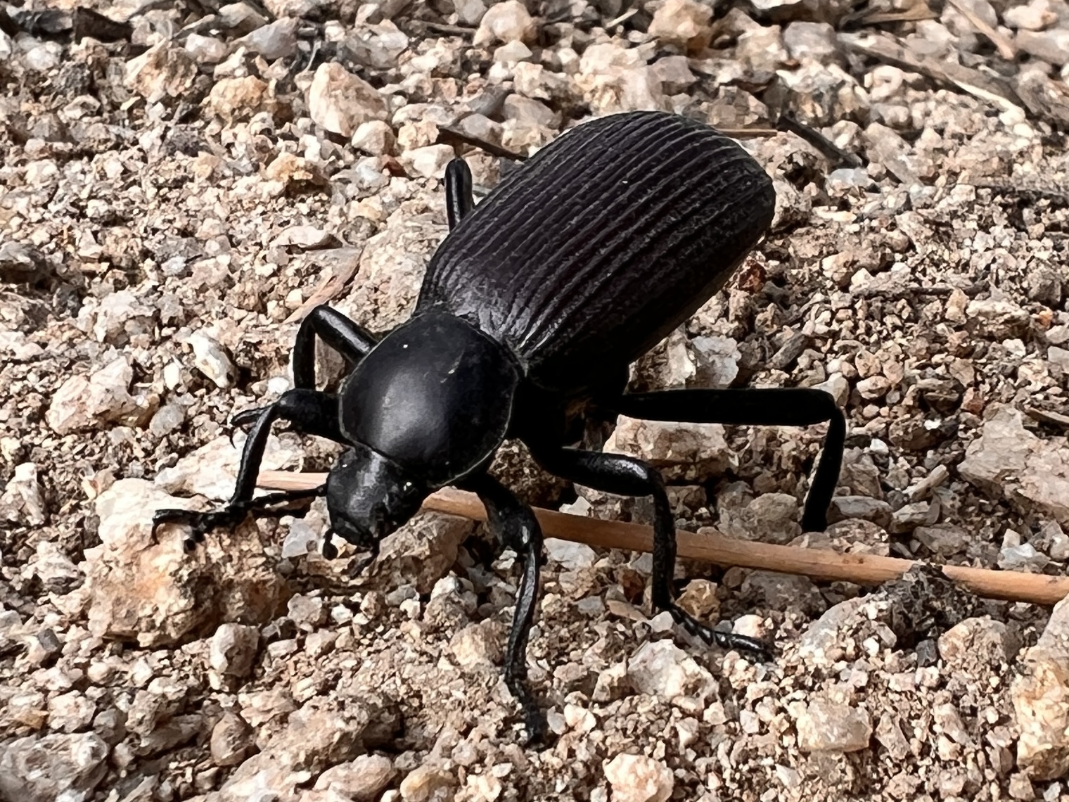
I take my pot to use as a scoop and try to avoid getting to much muck inside, though can’t avoid a few squiggly creatures, tiny and add protein.
I begin the filtering process as sun lights up the rock where I manage to find a comfy natural seat. Here I make dinner. The idea is that you can use as much water as you need, then carry at capacity for tomorrow.
This time, I fill all four liters, just to be safe.
Dinner is sloppy joe’s with texturized vegetable protein and Fritos. My oil packet didn’t break along the way, my biggest fear, and adds so much flavor and calories.
It’s a super break, but I don’t want to camp down here. Low, near water can get really cold and besides, the sun is still way up. Let’s chase the sunset!
It’s a climb up and out of here, with a view to the big lump of Burro Peak. No campsites are obvious, so I keep moving along the gentle up and downs of this ridge walk.
And on and on I go. Just when I think I’ll have a view, trees obscure it. That doesn’t mean I don’t see the sun setting, turning orange, magenta, purple. It’s a magnificent sky that I follow, pushing on and on to find my perfect camping spot.
Thinking I might walk a mile, I somehow can’t stop myself. The day has been so fantastic, I just suck every last bit from it.
I do check different spots, but nothing quite resonates. Now the sun has dipped behind mountains. The sky is still gorgeous and I can see where I’m going, but my sunset chase is about to conclude.
And that’s when I suddenly hit a ridge. No trees obstruct my view of Burro plus a whole mountain range, softly glowing in the final moments of light. And the trail provides a flat spot just above the trail.
I set quickly in the waning light, then cuddle in as stars fill the sky. I know, I’m not cowgirl camping, but this feels good and I’m turned just so to catch the sunrise.