It’s haddock again with a poached egg for breakfast. This time, an entire fish and I can’t eat it all. I nick two croissants, decadently buttery, and wrap them in napkins to eat somewhere along the trail.
I’m nervous about this stage. We cross several rivers, including two said to be dangerous in spate. Everything is in spate right now with all this rain, although the last two days have been gloriously dry.
We’re told much of this one will be too and we pack for extra nights, intending a bothy stay near Sand Bay. It’s a bit off trail, but said to be an interesting place once home to a hermit nicknamed Sandy.
We drive to the car park, amazed by all the houses tucked into this lonely place so far north. They look well cared for with decent cars parked in front. Sheep dot the landscape, both black and white. We leave the car near a yard with an entire pack of border collies.
It’s windy and gray and I put on an extra layer plus my raincoat, which I promptly remove as we begin to walk. It’s only four miles to the bay, an easy walk on track in an area maintained by the John Muir Trust.
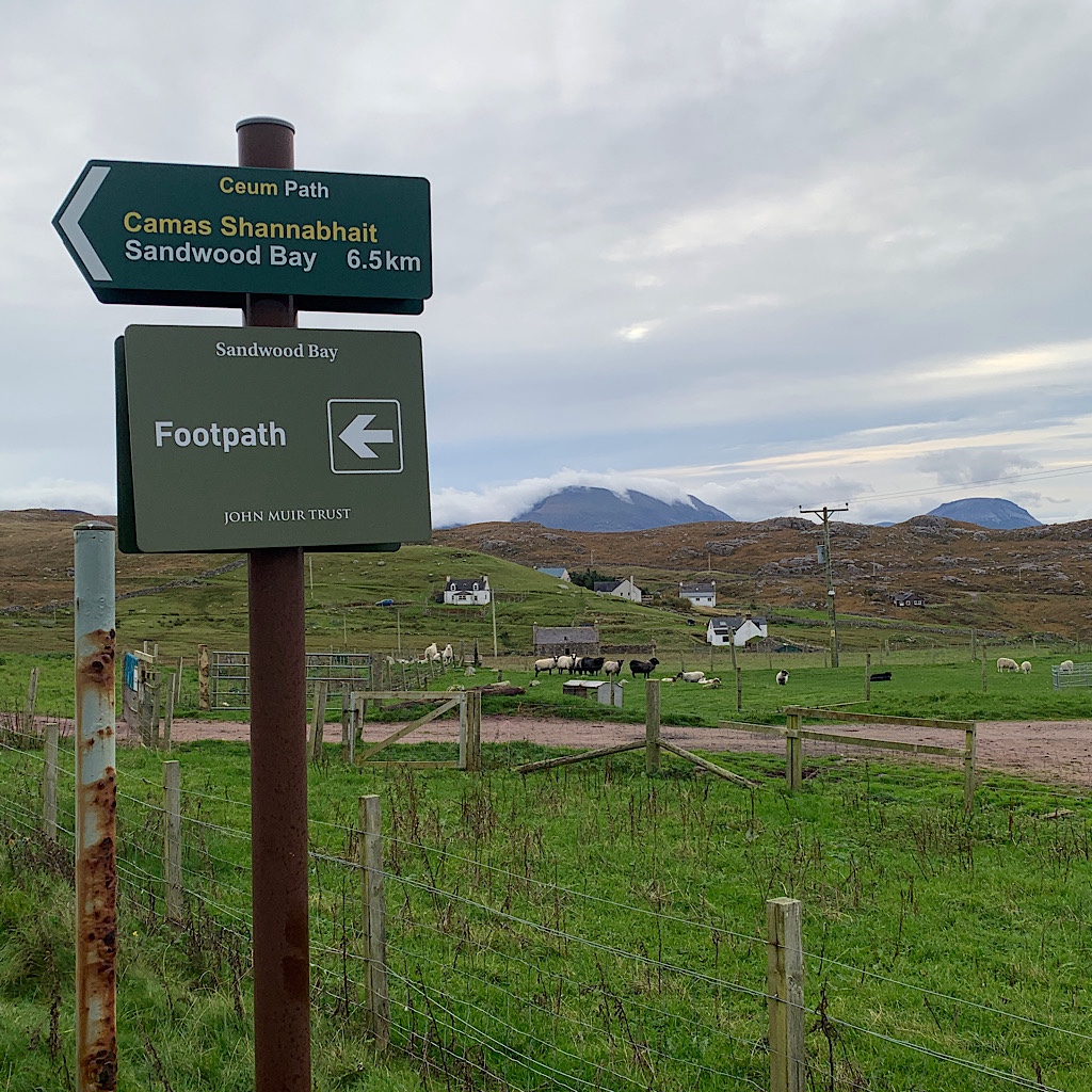
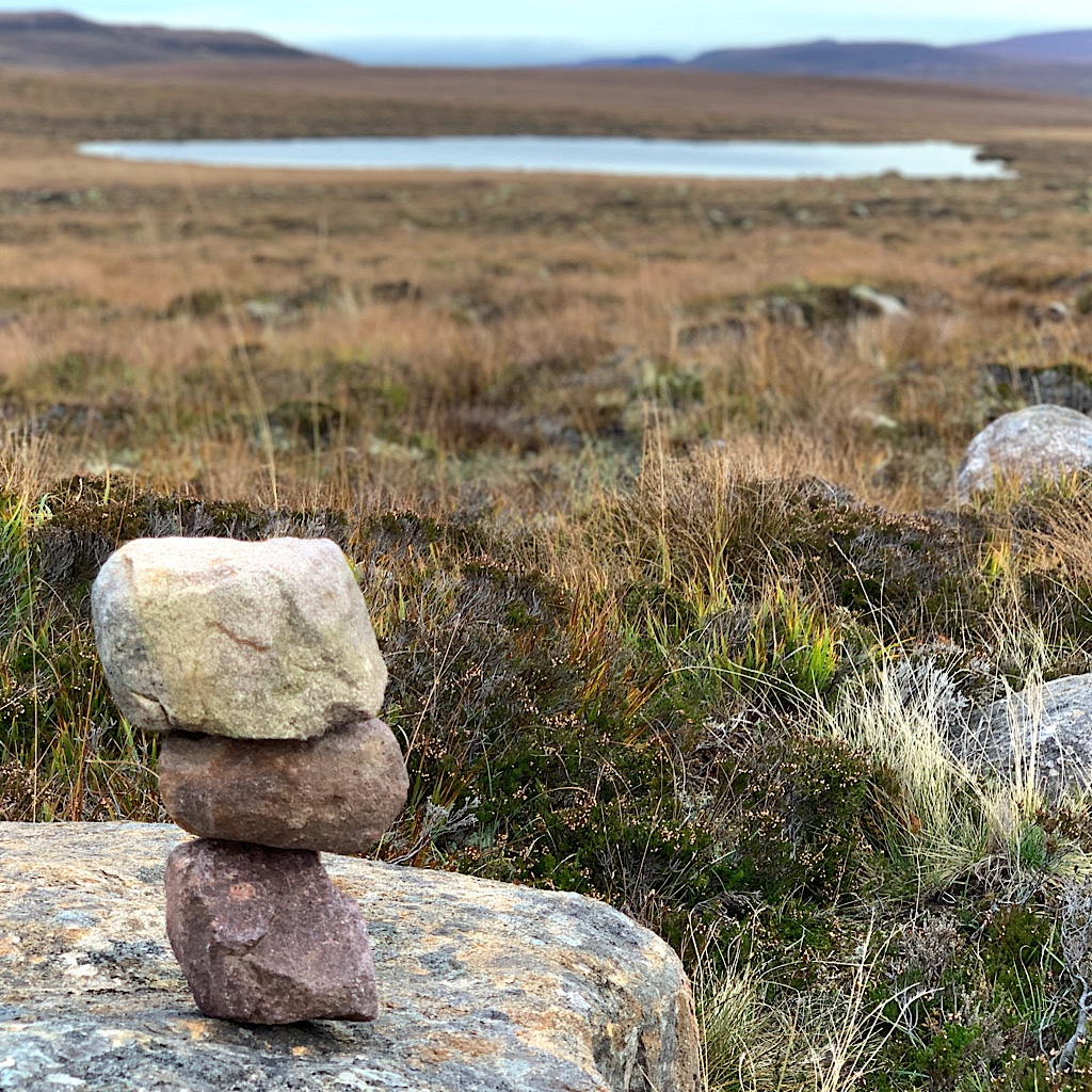
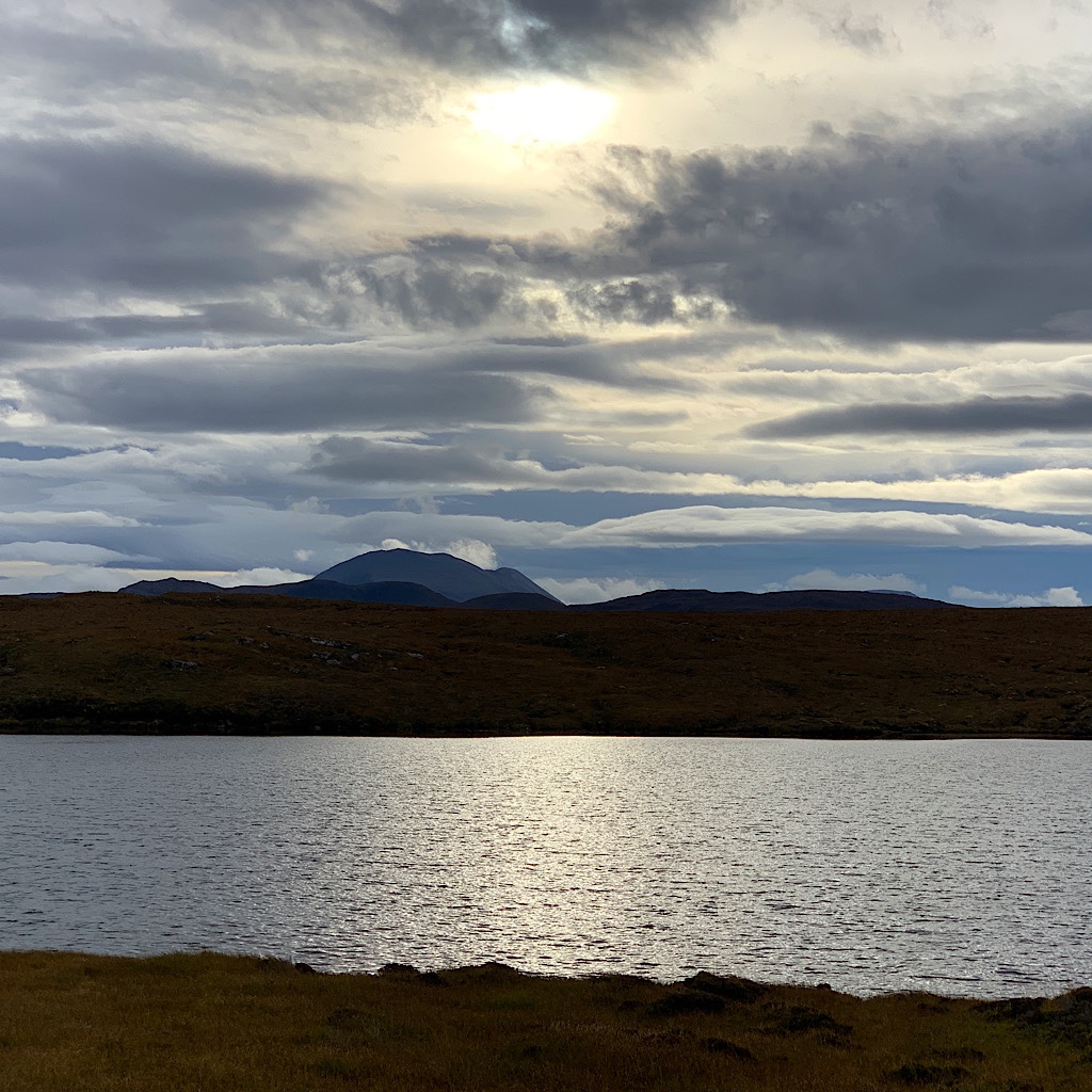
Large, fancifully shaped mountains appear with cottony clouds attached as we pass lochans. This is the time to see just how long we can keep our feet dry before we have to step into a burn of bog.
The sun is silvery through cloud and I think about the wind and how the BBC weather service designated its speed. Yesterday was a ‘gentle breeze,’ whereas the day before was ‘moderate.’ Today it’s a ‘fresh breeze’ and I soon realize fresh is actually more powerful than moderate. I don’t know what’s after that, gale I think.
The place is lonely and quiet, but that’s not its history. Many people lived here, a dead giveaway the skeleton of a stone building, but they were forcible removed to make way for sheep.
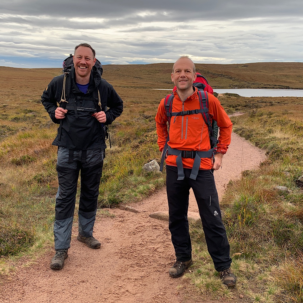
We see two people coming towards us with packs and swinging arms. They’ve camped at the bay and are headed back before it rains. We can see ahead where the cliffs open to the bay, making it here in record time.
This may be a home to sheep, but it’s also protected for scientific interest. Its extensive dunes and machair make it one of the most species rich and least disturbed places in Scotland. The name ‘Sandwood’ Bay comes from the Norse Sanvatn describing the quality of a nearby loch.
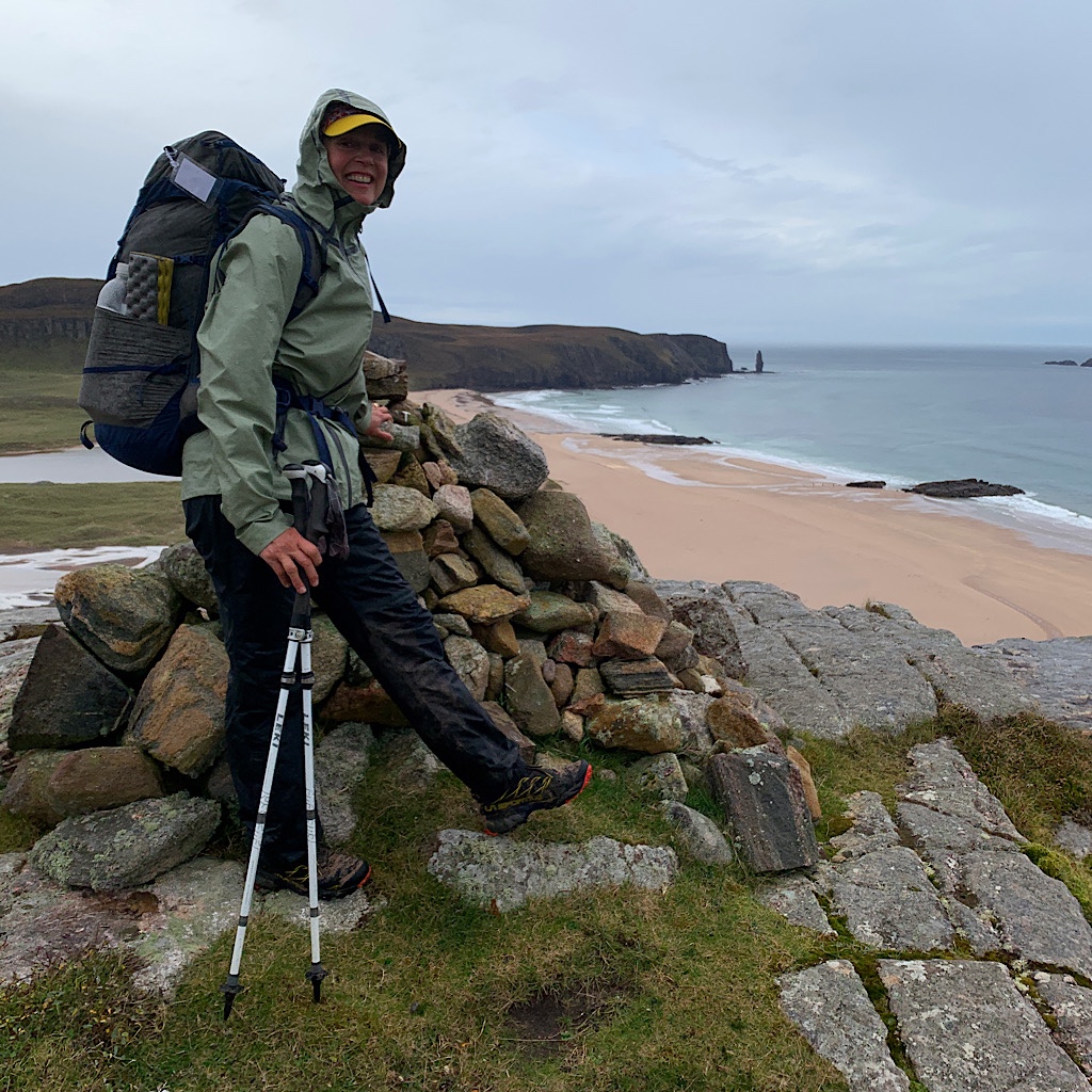
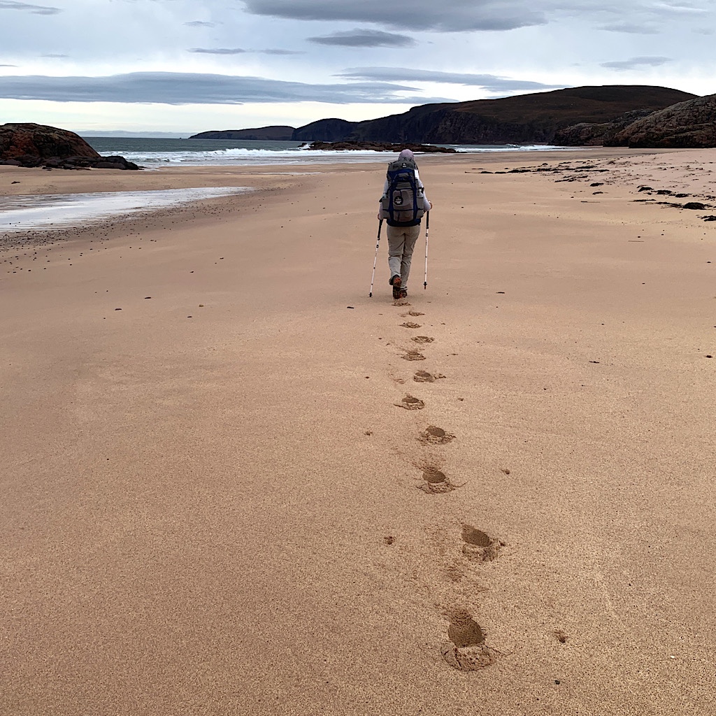
We don’t see much life at this time of year, but marvel at the deep sand and grasses we need to pass through, digging in deep with each step before we reach the beach itself.
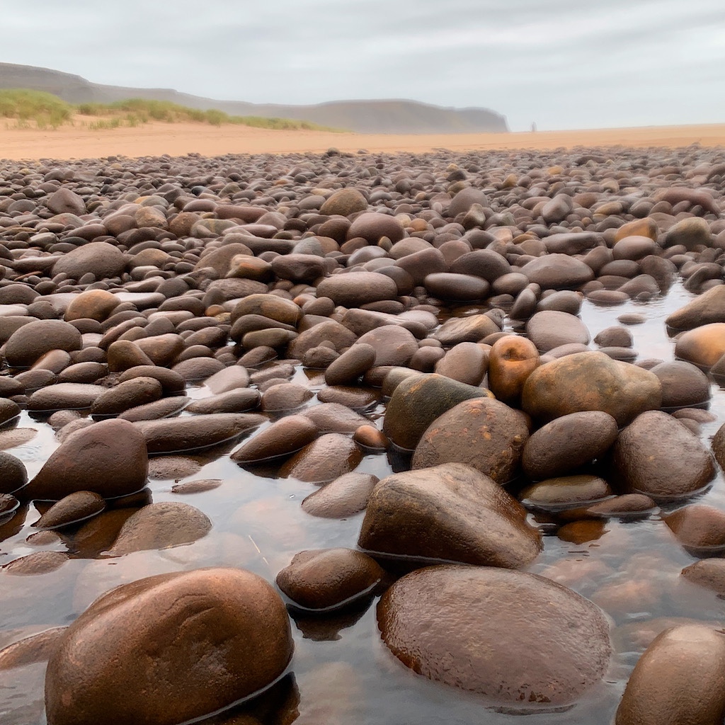
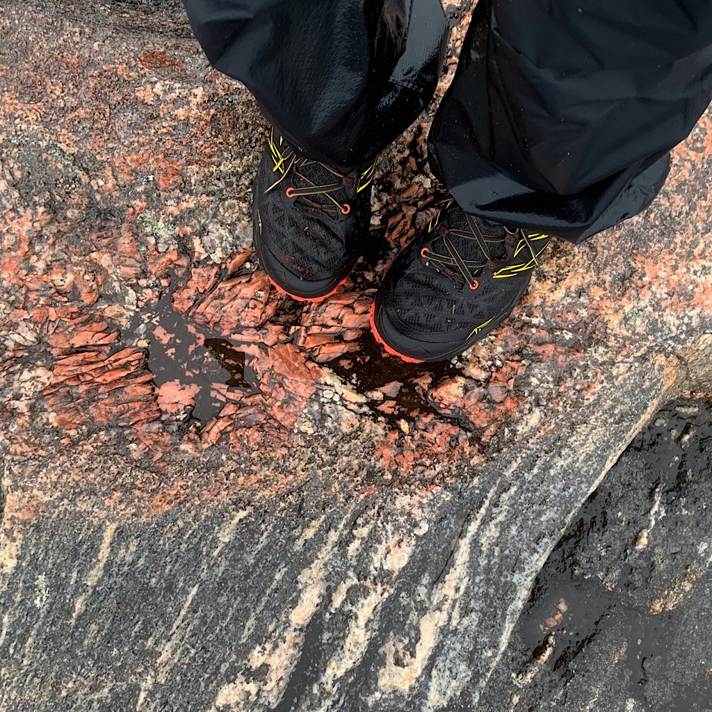
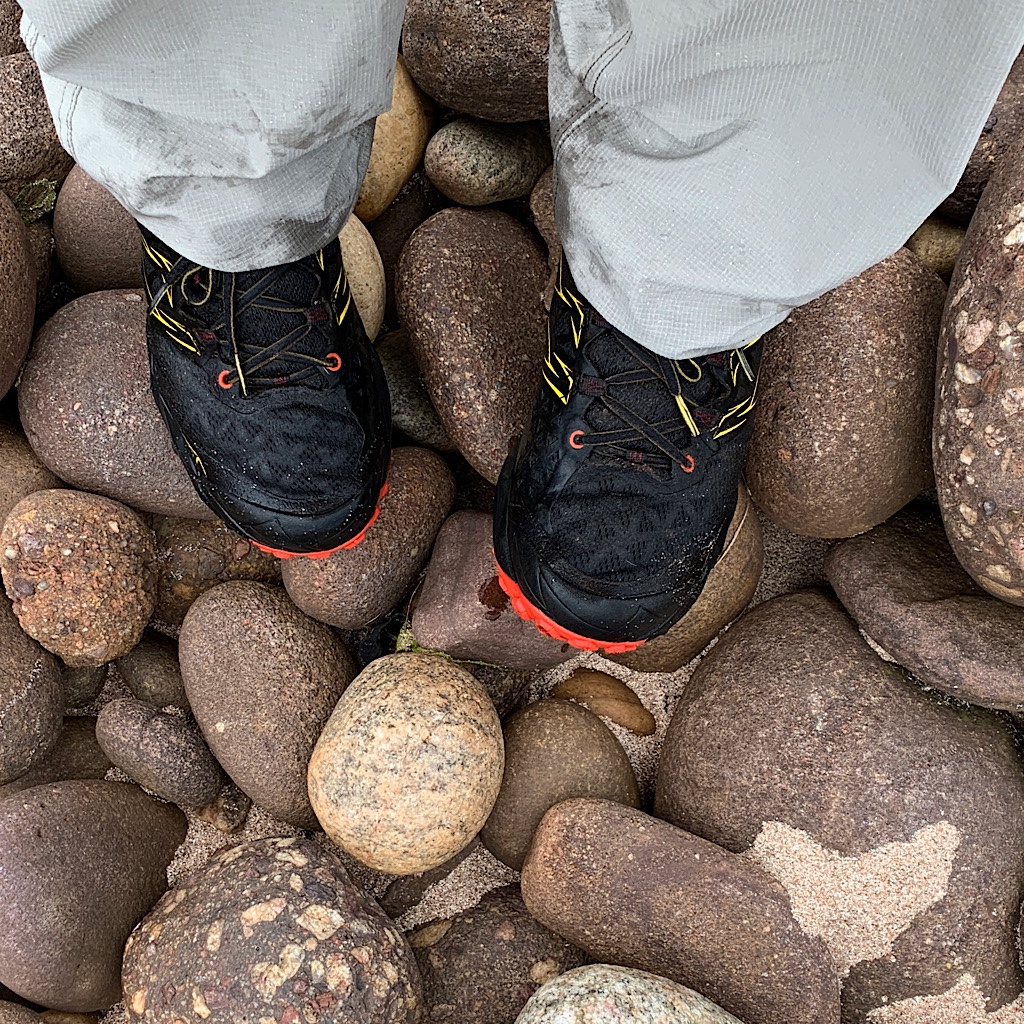
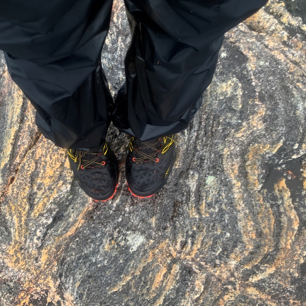
Am Buachaille rises straight and proud, one of the most iconic sea stacks. The rocks here are pretty special, part of the Riconich Terrane, ancient gneiss squeezed into colorful layers. These are obvious underfoot at our first river crossing on palm-sized stones smoothed by the water’s relentless tumbling.
I’m taken with the reflection of the sky, gray and silver, in pools on the sand, as well as the light turquoise as waves curl up in the dim light. We snap pictures and I collect a few shells including a massive limpet. Without discussing it too much, we decide it’s far too early to stop and better to head all the way to the Cape.
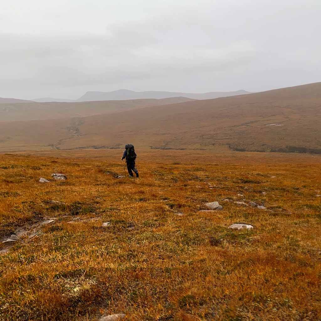
We have the time, but we’re warned the eight miles is a slog across utterly trackless peaty moorland, remote and tough-going with the North Atlantic throwing all it’s got at you. None-the-less, we’re surprised not to find any hint of herd trail, and the ones we do find take us off in the wrong direction.
Our first challenge os straight up a hill, stepping up strongly with the help of walking sticks on tussocky and mossy lumps. The view is outstanding and we see one hill after another leading to the cape.
What comes up must go straight down, every step carefully negotiated through mud and squishy fluorescent green moss. Our shoes are totally wet from the first river, so neither of us cares anymore where we step. The rain returns a misty drizzle. The ocean is lapis under brooding skies.
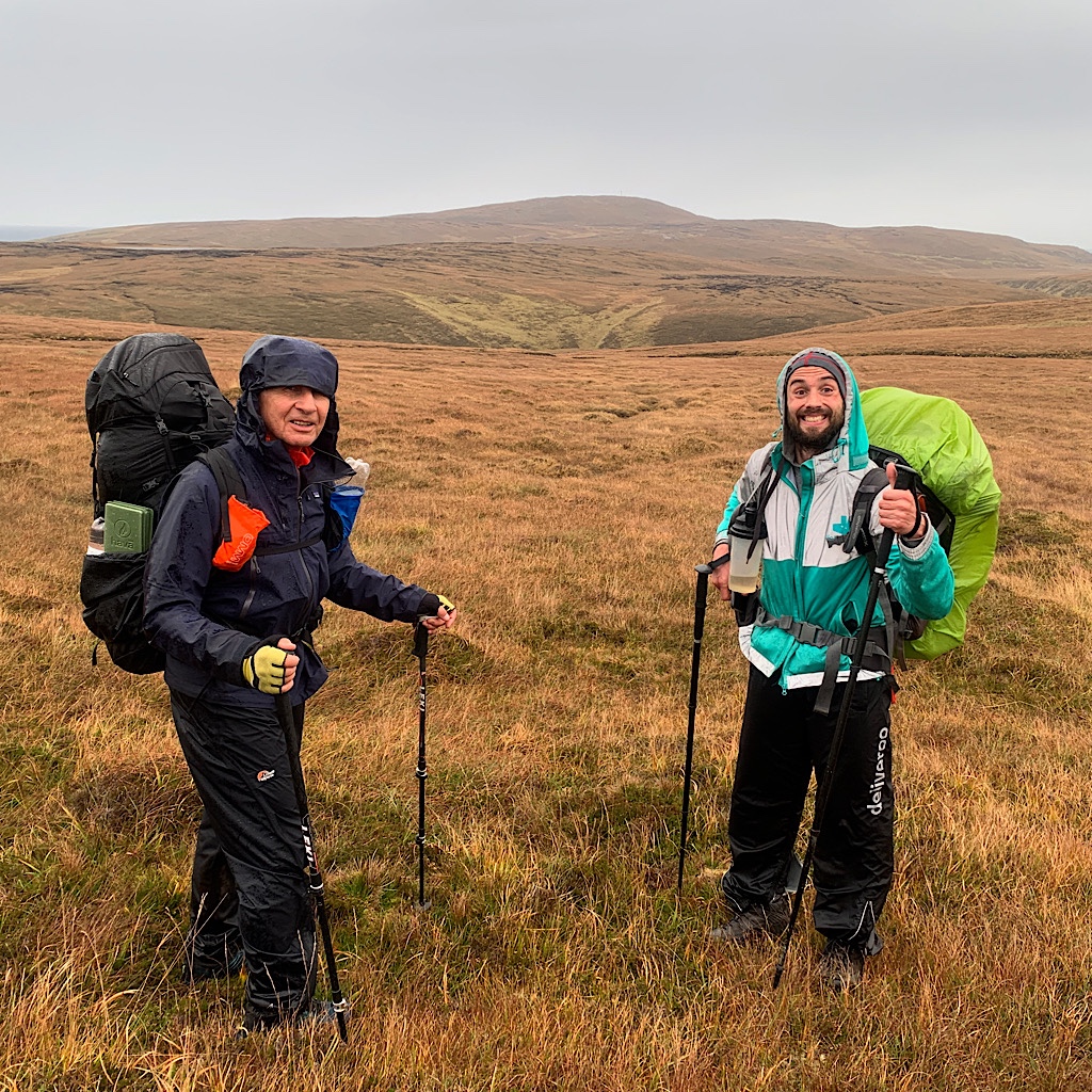
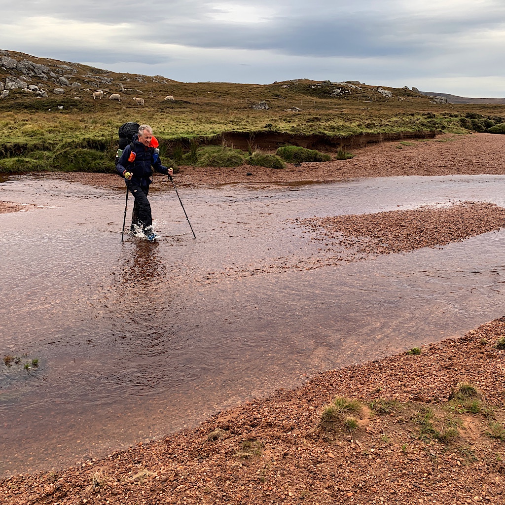
We charge on looking vainly for any hint of trail, moving confidently to the first river. I’m nervous, telling myself we can always turn back or walk to the bothy if need be.
Ted spots a loud waterfall and the knot grows in my stomach. Just because we get through doesn’t mean we can get back. Much of Am Lochan à Gheodha Buaidh tumbles over rock loudly like that waterfall. I push upstream and find rocks in line that might work. But when Ted tests one with his pole, it’s slippery with gooey algae.
I move further upstream to find a braid with a sandy bottom. Perfect! I can even step from one island to the next without submerging too deeply. Ted just splashes straight across and I realize that even with one more foot of water, this should be an easy cross back.
It seems we’re spot on the route, but heading upstream throws off our bearings and we contour Cnoc à Gheodha Rhuaidh too low and slightly west rather than north. A compass bearing doesn’t help and we end up having to create a sharp-edge to find the tiny opening between two lochans.
I panic a bit as we leap from tussocky island to another around deep bogs, wondering if we’ll get out of here safely. It’s not easy walking at all, but rather movements that twist, stretch and pull your legs, requiring balance and strength to keep moving, kind of like deep sand in a steep incline.
And it is steep here as I try to pull us closer to our route steeply up a lonely and desolate hill filled with deep, peaty pools. At the top, I look down towards a ravine where I know our second river lies. I take a bearing on a gash in the mountain ahead and start walking overland towards it.
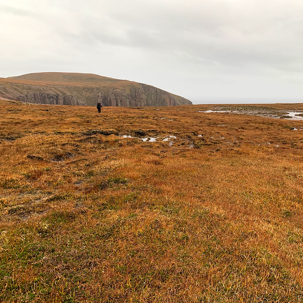
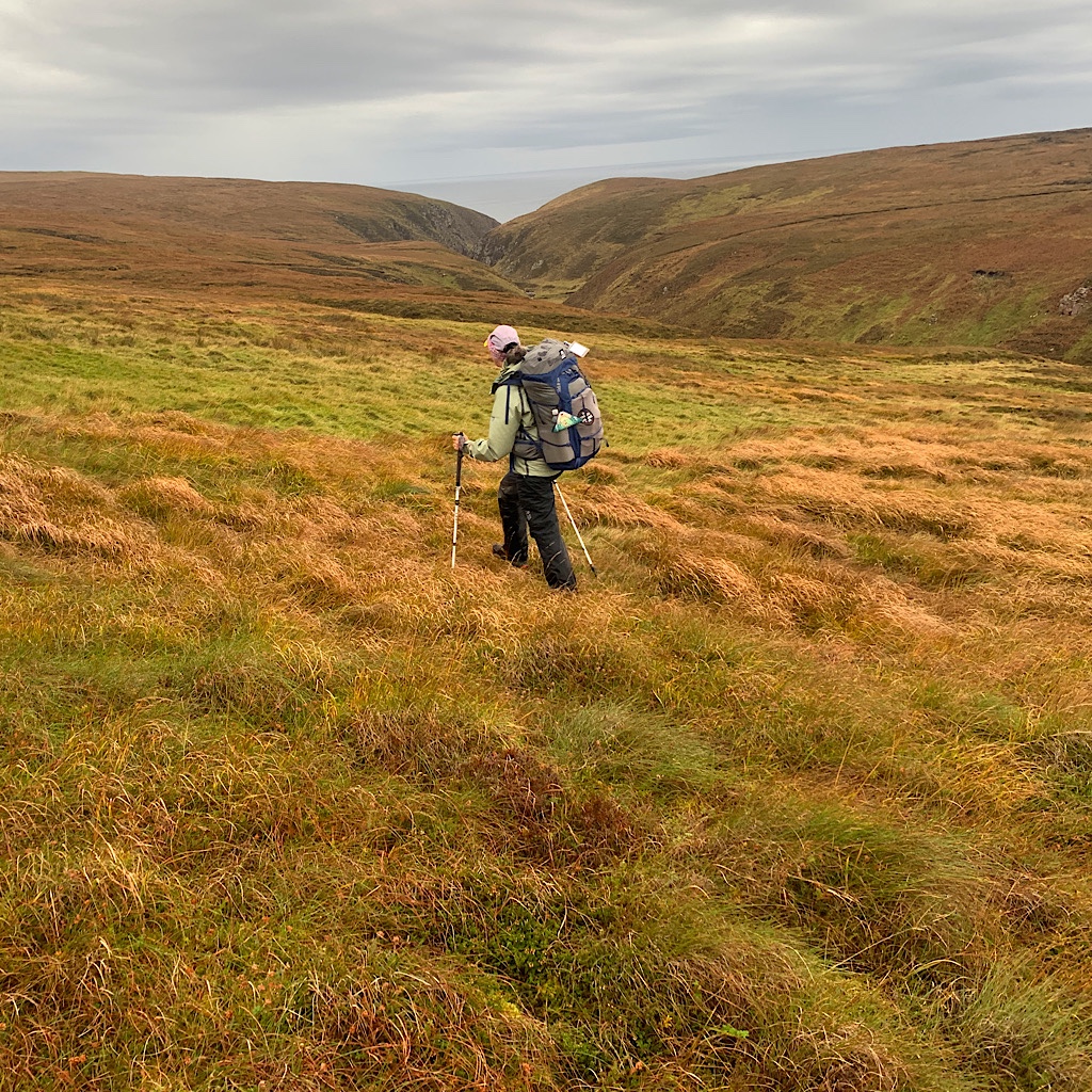
At no time does it feel easy, but I’m scared of how long this is taking us. Ted says if we want to turn back, now’s the time. I’m certain of the direction and determined to get over the next river, so plow through, oftentimes finding one bit of grass above eroded bog to cross.
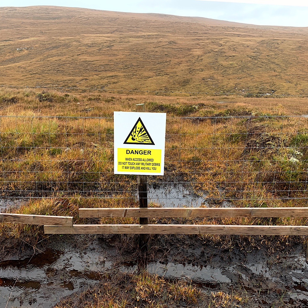
It takes us to a fence. We’re entering the MOD (Ministry of Defense) live firing range. Good thing we checked first that no one is shooting today. A white card is in place, but a red one would mean most definitely turn back.
It’s an awkward climb over barbed wire. Someone helpfully affixed thick wire as a hand hold and some posts to climb on, bit we still need to take off our packs and hurl them over before we carefully climb over. Isn’t this a well-used trail? Seems odd to be without a stile.
But that’s only the beginning of our challenges. The Kesgaig river is deep in that ravine, with access itself a challenge. The water tumbles and boils over rocks and I can’t imagine trying to keep my balance while crossing.
So again, I walk up the river and sure enough find a way over at a flatter spot where I step on big shifty stones. Can I get back here if it rains and rises? Sure. I do look back at the spot and make a mental note of the number of signs on the fence so I can find my cross if the weather gets ugly.
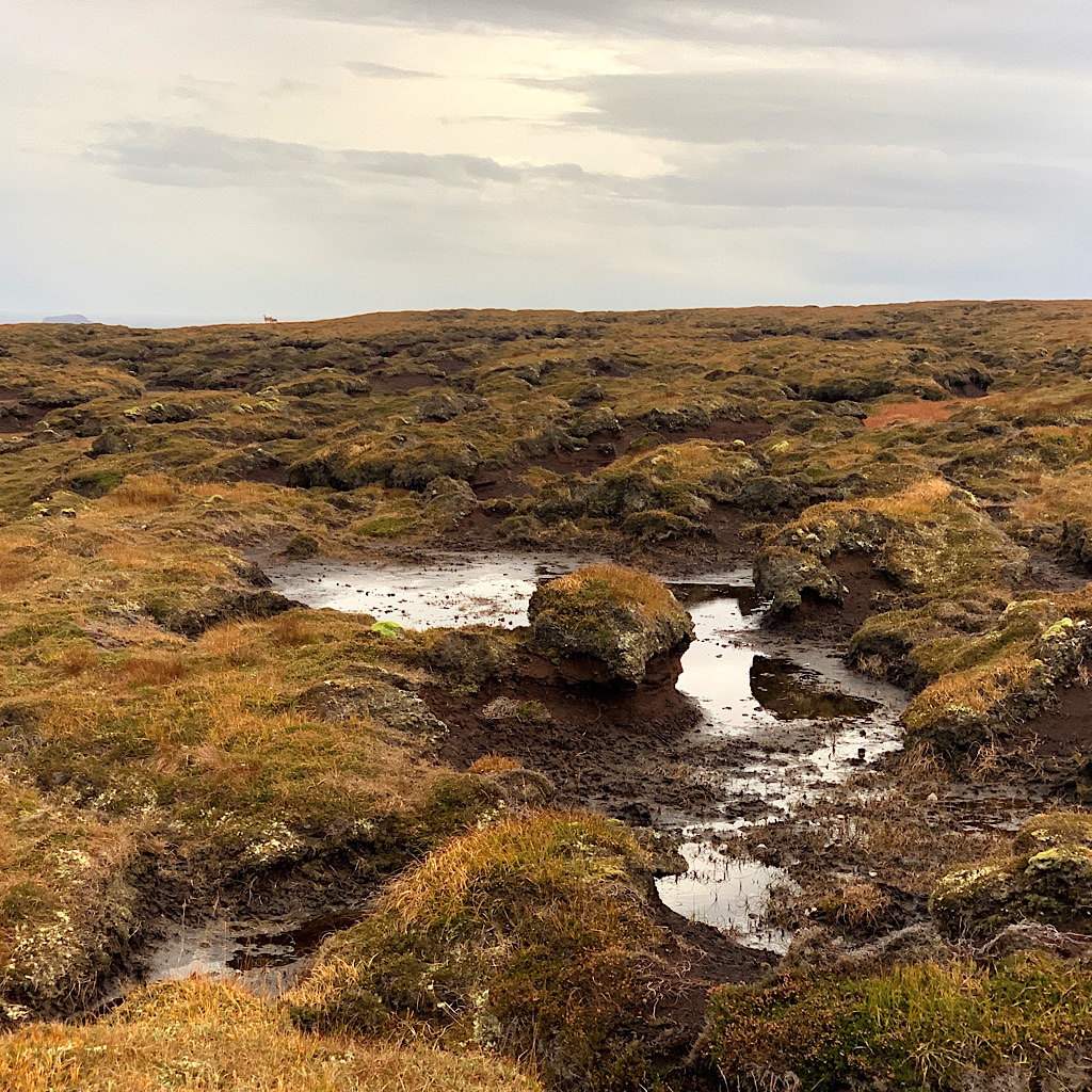
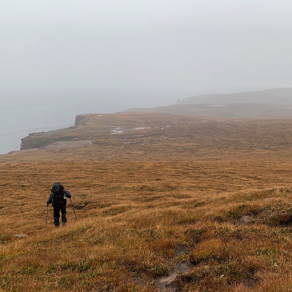
Up we go again, steeply on lumpy ground. We’re breathing heavy heading towards Sithean na h-loloireich, a pointy hat of a peak that we contour around. Somehow I take us slightly too far east and we end up having to negotiate three deep gashes in the mountain, dropping in and crossing small streams then crawling out again.
We get to the top of a hill and can see our final hill in the distance and a road! This is right before a cloud of rain comes for us, thankfully at our backs, spitting and blowing.
We drop fast, back into holes, this time all created by ordinance. It’s wet and miserable and our view completely disappears, an odd and fitting end to this wild trail. I’m feeling strong and not at all cold, but it’s bleak here and I’m not sure how much more I have in me.
Just then, we see a figure coming our way. It’s Alberto from Glencoul! He greets us with a smile, telling us he camped at Sandwood Bay last night and will again tonight. Tough guy handling this both ways in a day.
He cheers the mood as we contour another massive ravine, Ted certain he’s found a footpath, only to have each one disappear under out feet.
It’s more of this wet, lumpy exhausting business beautiful in its own drear way before we hop up a hill and hit road. Ted sets out to build a cairn as the sky clears and the sun pops out.
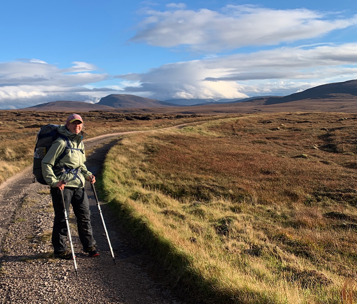
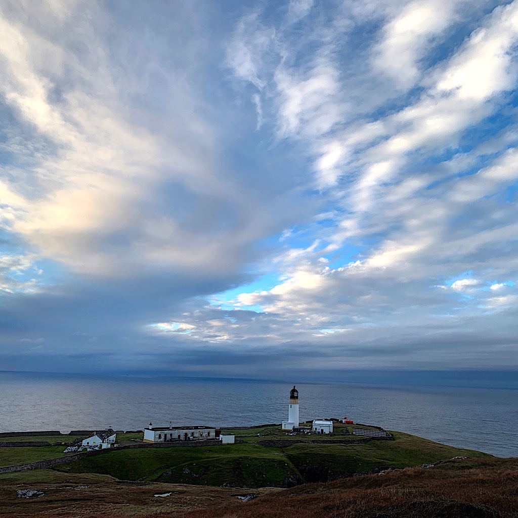
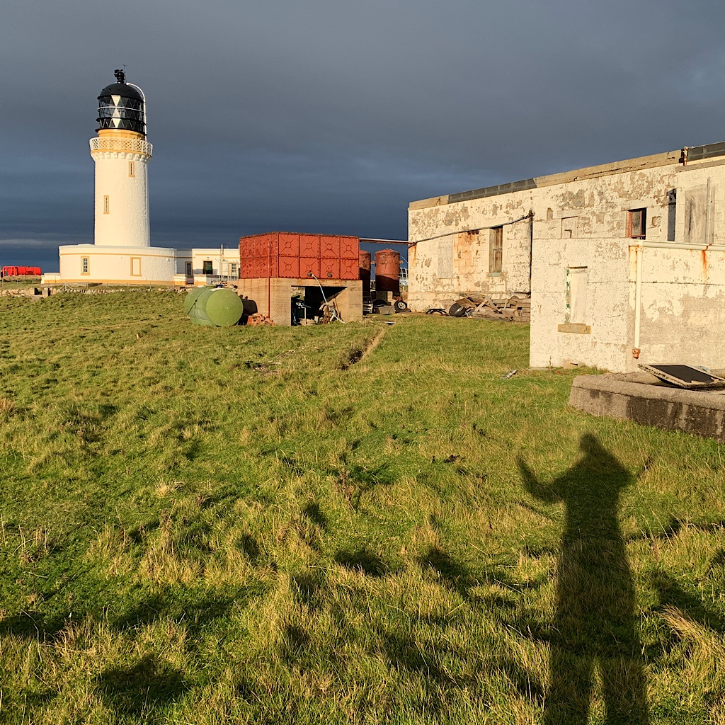
The massive landscape is beautiful in sunlight, bright and more varied in color. We move quickly around, looking back to islands and steep cliffs, the sun hot. We’re high on steep cliffs, this spot nearly inaccessible to the ocean. Two cargo ships move slowly past.
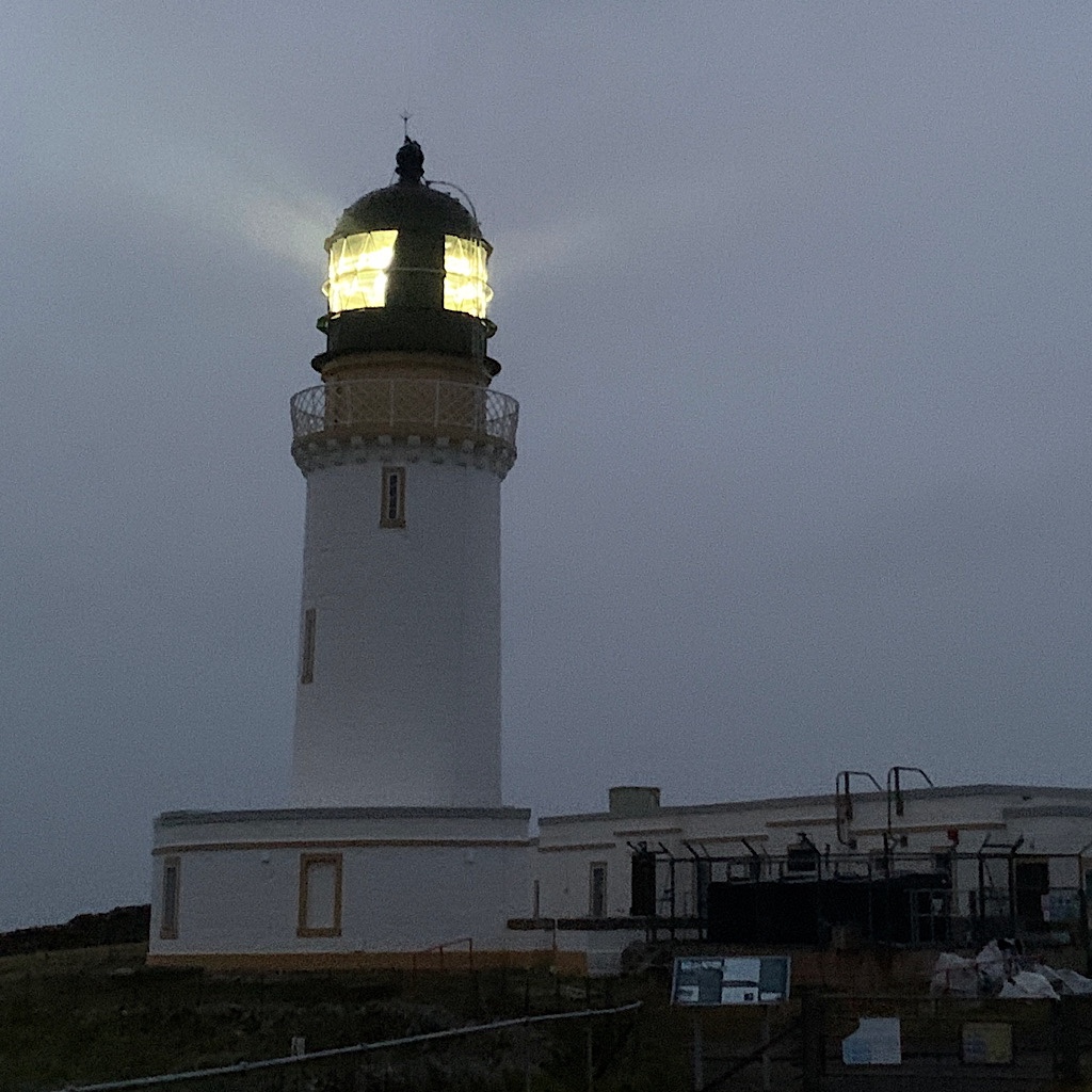
When the light comes into view, I holler. The northwestern-most point in the UK, no land between here and home. The light is lovely, recently painted white and sandalwood.
We learn it was built in 1828 by Robert Stevenson, part of a dynasty of lighthouse builders and Robert Louis Stevenson’s grandfather. It’s thought coming to this wildly lonely place inspired Treasure Island.
The place is strategic and goes back to the Norse who called it Am Parbh or the turning point where they’d head east toward home. Wrath is a more appropriate name even in this sunshine, knowing there’s little that separates the elements from my helpless self.
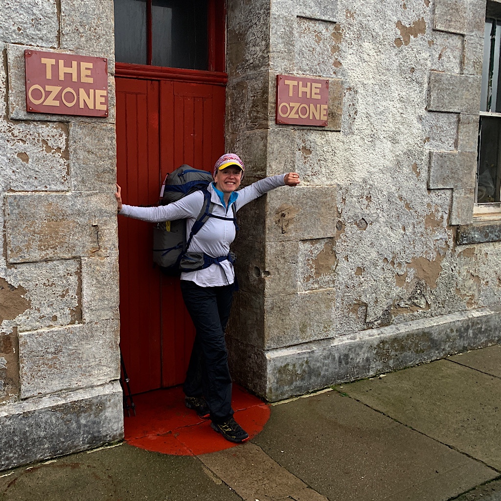
The area is in a state of refurbishing with one lone building the only one that appears habitable. It’s ‘The Ozone,’ a cafe and our home for the night. Ted called last night to see if it was open, but the place appears empty, even with an ‘open 24 hours’ sign.
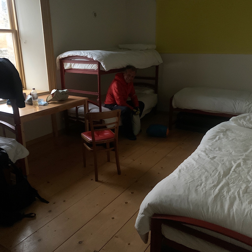
We look around and take pictures, but we’re cold and decide to claim bunks and change out of our wet socks. The dorm is accessed through a machine shop filled with stacked wood, but is lovely inside, clean and bright with crisp white sheets.
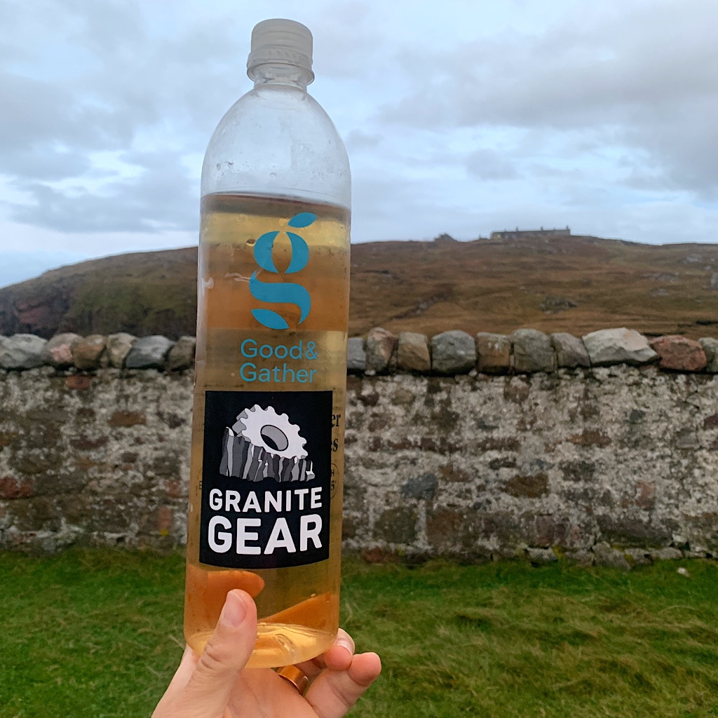
We set up and still no one comes, Ted nervous we have no water. We take a walk to the signal house above, also a work in progress all boarded up with warning signs that walls might collapse. I find a stream running and we collect water, root beer colored from the peat.
We make dinner in the cafe, finishing just as it goes dark and the lighthouse begins its nightly routine. Still no one here when the mist closes in and the wind picks up, moaning and whistling.
Will John the owner show up late or will we be all alone in this lonely place? Who knows. I only hope the mist is just a sprinkle and squeezes everything out of the sky before tomorrow and our return.
The moaning of the wind stops sometime in the middle of the night with brilliant pink lighting the sky. The air is warm, still, humid. I see squalls far out at sea. Deer run in herds above the shattered countryside.
There’s no way out of here in off-season. The ferry at the end of the road would normally take a walked to Durness, but all that’s stopped now, so the only way out is walking back the way we came.
It’s so nice to walk on road, our stomachs full and we can see the sea stack from here and even a bit of beach. Wouldn’t it be lovely just to march there on this track?
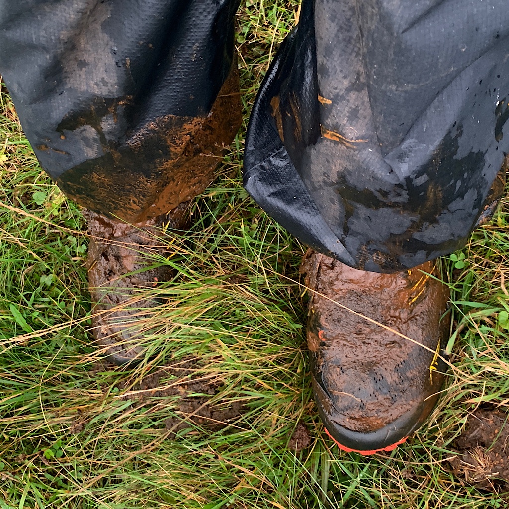
But no; a sharp turn into utter clag begins at the rock cairn and off we go, faster now seeing where we need to contour. That doesn’t remove the challenge of foot placement, the ankle always turning on shifting ground of moss mounds and general squishiness. I fall down deep into a hole opening like a trap door, then sink both legs to the upper thigh in muck.
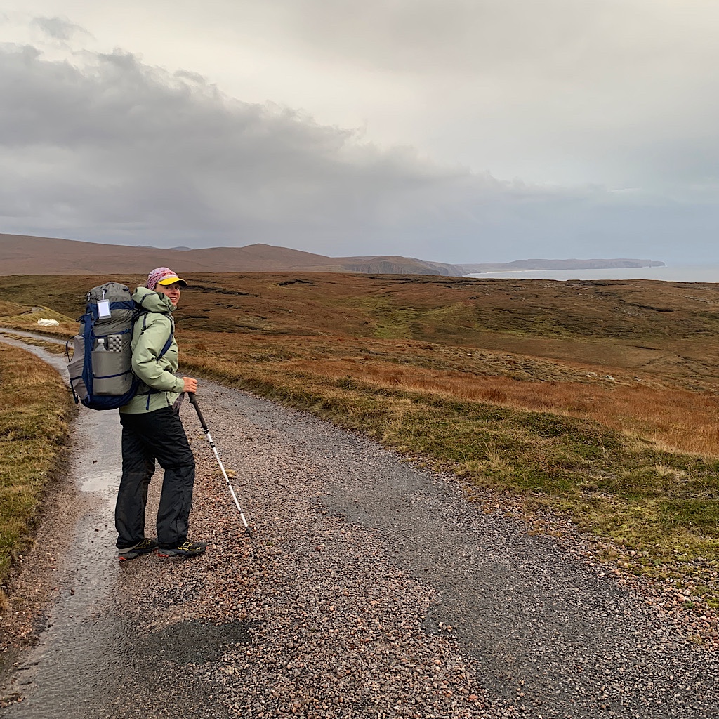
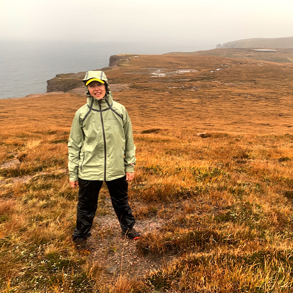
The rain comes in spurts but the wind is less. Ted tells me after ‘fresh breeze’ comes ‘strong.’ It’s more like a refreshing fan now and we’re cruising through this challenging bit, often splitting off as we choose a route.
The view opens to ocean and a massive gash as we head steeply up. I live for the ups and fly through the maze, my walking sticks like arm extensions feeling and feeding me forward.
But just then I get that gassy feeling in my chest, the sign my SVT is coming on. Not now! It immediately sets my heart beating wildly. My breathe seems fine, long ins and out yet slightly gaspy. And I feel leaden, dizzy.
And yet, she persists. I walk slowly inch by inch until Ted suggests stopping before the wind gets wild at the top. I take s beta blocker sitting in a rock, then inch some more.
SVT is awful. I’m weak, fainty and can’t breath. But it’s not fatal (unless I faint and fall off a cliff) So this determined girl muscles on and crests the summit, knowing downhill will at least keep me from heavy breathing.
And the beta blocker works as we wobble our way from one tussocky bit to the next, ‘spot on’ back to the third sign along the barbed wire fence, across the burn, across the fence, then up more, down, up, across.
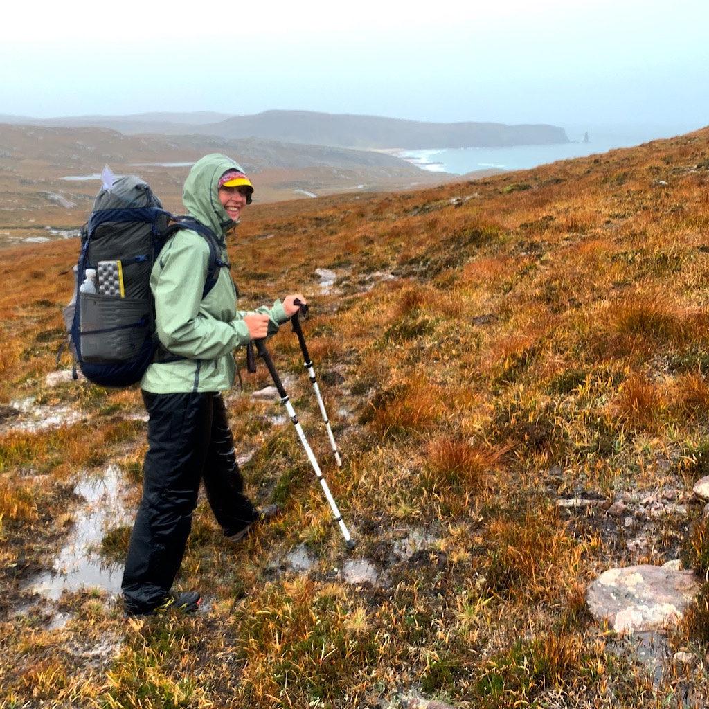
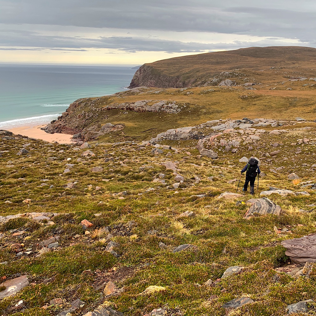
It’s our hardest two days especially with all the rain, but by far the best because we’re both strong and evenly matched. A middle aged woman with new hips and a pensioner ultra-marathoner unafraid of this wild terrain, and maybe motivated because it’s so wild and unknown.
We finally reach the beach and find the slippery stones as the loch pours into the sea the hardest – well, next to the deep sand up a steep hill.
Loads of people have arrived as we walk out, surprised it feels so far. We march at full speed and I tease Ted that his son is concerned he won’t be fit enough for their next race a few days after I leave.
Just as we pass the last lochan before the houses come into view, the rain really starts to pour, no longer a passing shower but ‘settling in.’ And look what we did heading all the way out and back, pushing hard and returning in the nick of time.
We both feel, as they say in these parts, chuffed.


6 Responses
What an amazing and challenging walk! The landscapes were breathtaking — thanks for taking us along.
You did it! Congratulations!
Another SVT. Is an ablation in your future?
thank you! I am a good candidate, but I did not bring the Apple watch to monitor mainly because I don’t have enough charging capability. I’ll need to catch an episode on an ECG when I’m home. But with only two episodes stopped by a beta blocker, I should be able to manage. I was glad to be here with a partner. It is VERY wild country!
Alison…so much to comment on! You…smiling in your gear! No trail, wet, slippery rocks, Military Firing Field…Yikes!…..Ozone…Hooray!…..SVT..OH, NO!!!!!………….lapis ocean…all is well……Wheewww!!!!!
‘tis! such a good walk