Contrary to Alan from Dunedin’s prediction, the day opens crystal clear, ready for our eyes to take in some of the Te Araroa’s best views. There are two late arrivals, one claiming a top bunk – thankfully, quietly – and the other setting a tent – pounding in what seemed to be ten or fifteen stakes, but things settle down soon enough as we all hope to get an early start.
Such a gift of a beautiful day, but the gods are keeping it real with Ms. Top-Bunk switching on an operating theater light she seems to need to fix her porridge. When I ask for a dimmer setting, just basic hut manners, she gets huffy and snatches her food away. Oh dear, I hadn’t realized she only had one setting – ‘me.’
I’m out the door quickly and into the chill. I need to purify water before heading up and I practically freeze my fingers in the rushing stream. When Tom catches me, he hurtles past saying speed is his only way to stay warm.
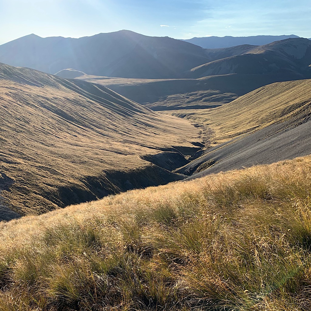
The trail meanders up the same stream, making many crossings still in shade for a long time. The climb is gradual at first as the saddle comes into view 600 meters above.
Soon, I split off from the stream and crack straight up. The sun is on me now, and I love that SOBO’s get sun mainly at their back. As I crest this saddle and walk on a flat, squishy meadow, I realize I am likely going to hit many ‘false’ saddles. And I do just that – steep up through tussock, onto a flat bit with water running beneath, then back up again.
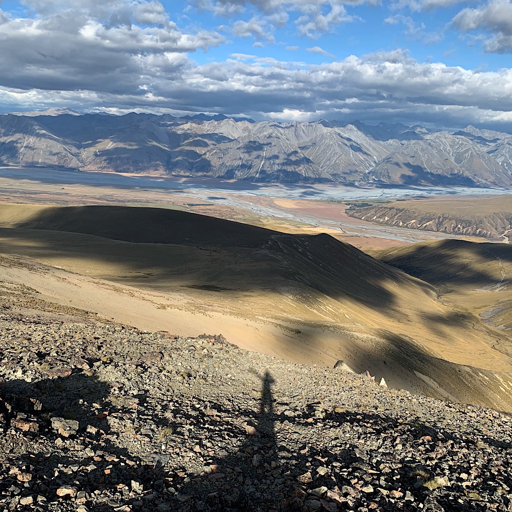
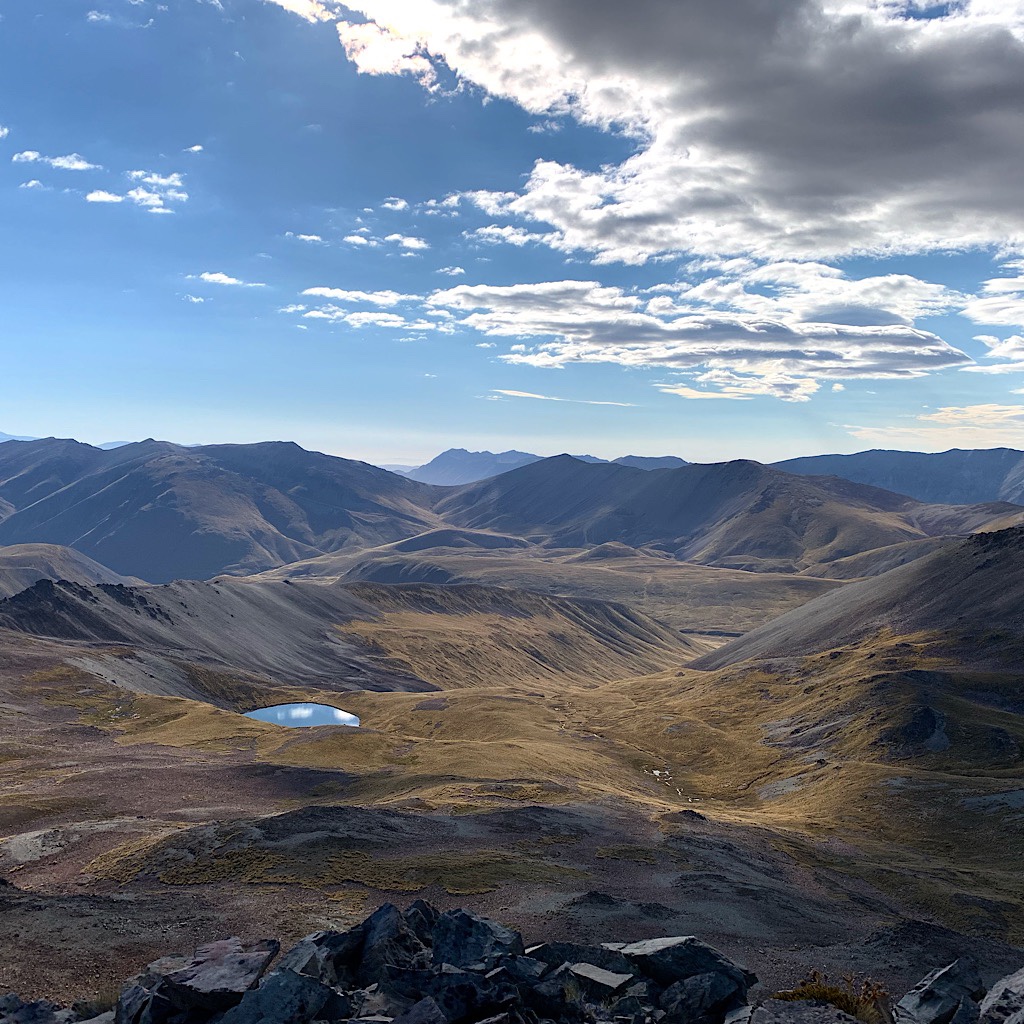
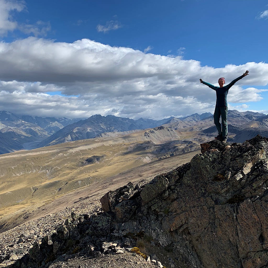
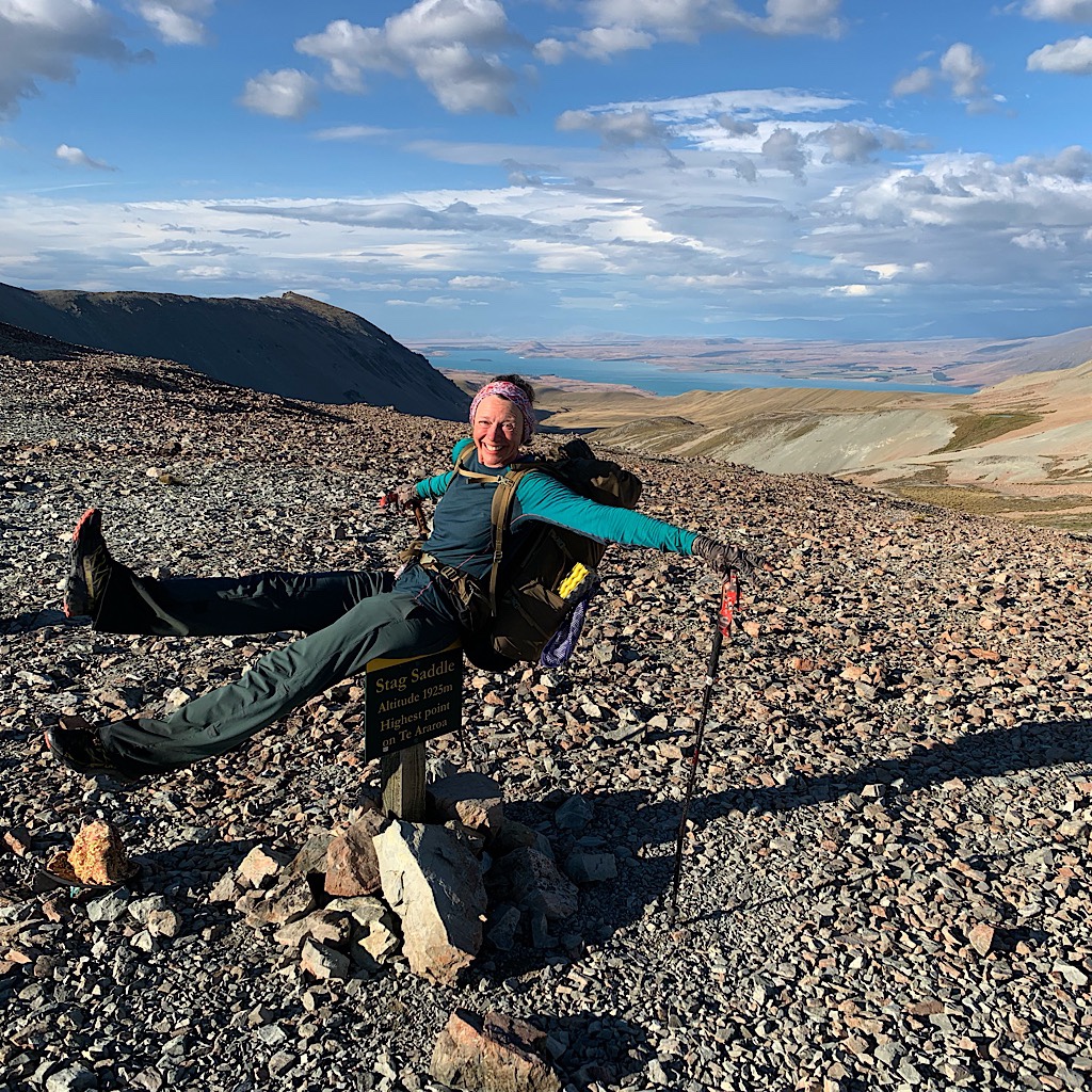
But soon I see clouds moving fast above me and know I’m on the last pull before I reach Stag Saddle, at 1925 meters, the highest point on the Te Araroa.
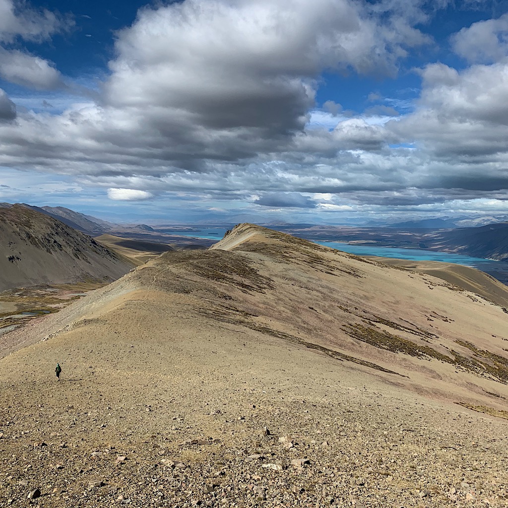
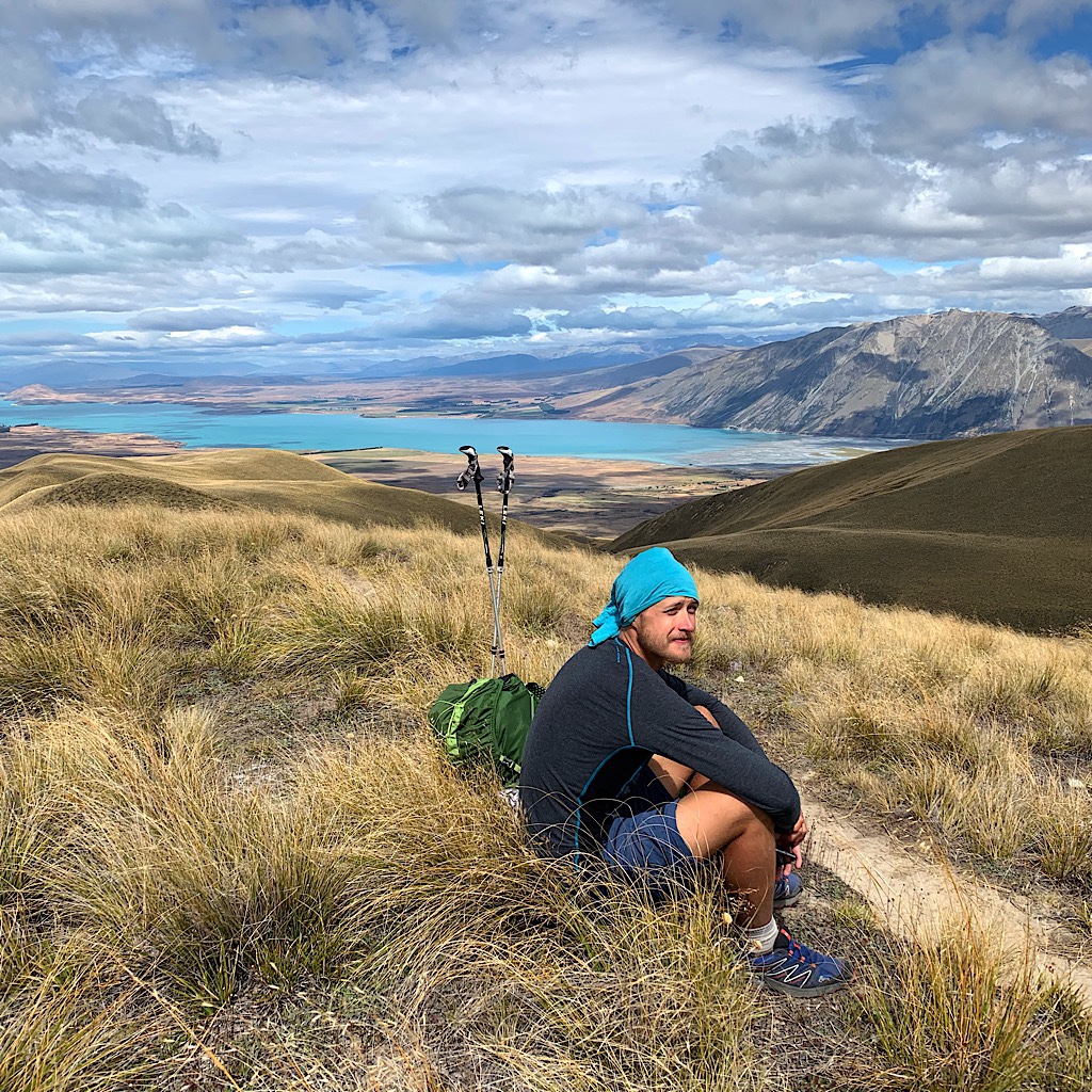
Tom and I take a few pictures and marvel at the extraordinary color of Lake Tekapo, a kind of glacial silt blue, before we decide to go ahead and climb the peak above the saddle.
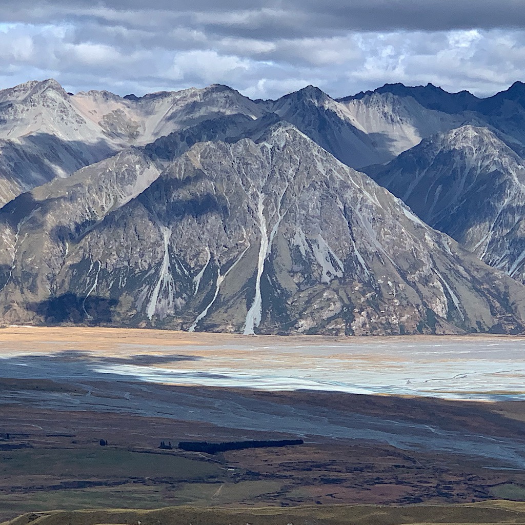
Everyone recommends walking down the ridge even though it’s not the official route, because the views towards Mount Cook and that entire range are spectacular. Beuzenberg Peak at 2070 meters, adds one more dimension to the view we’re seeing now – 360 degrees.
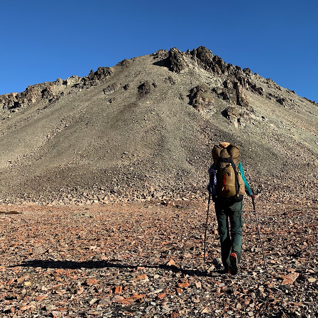
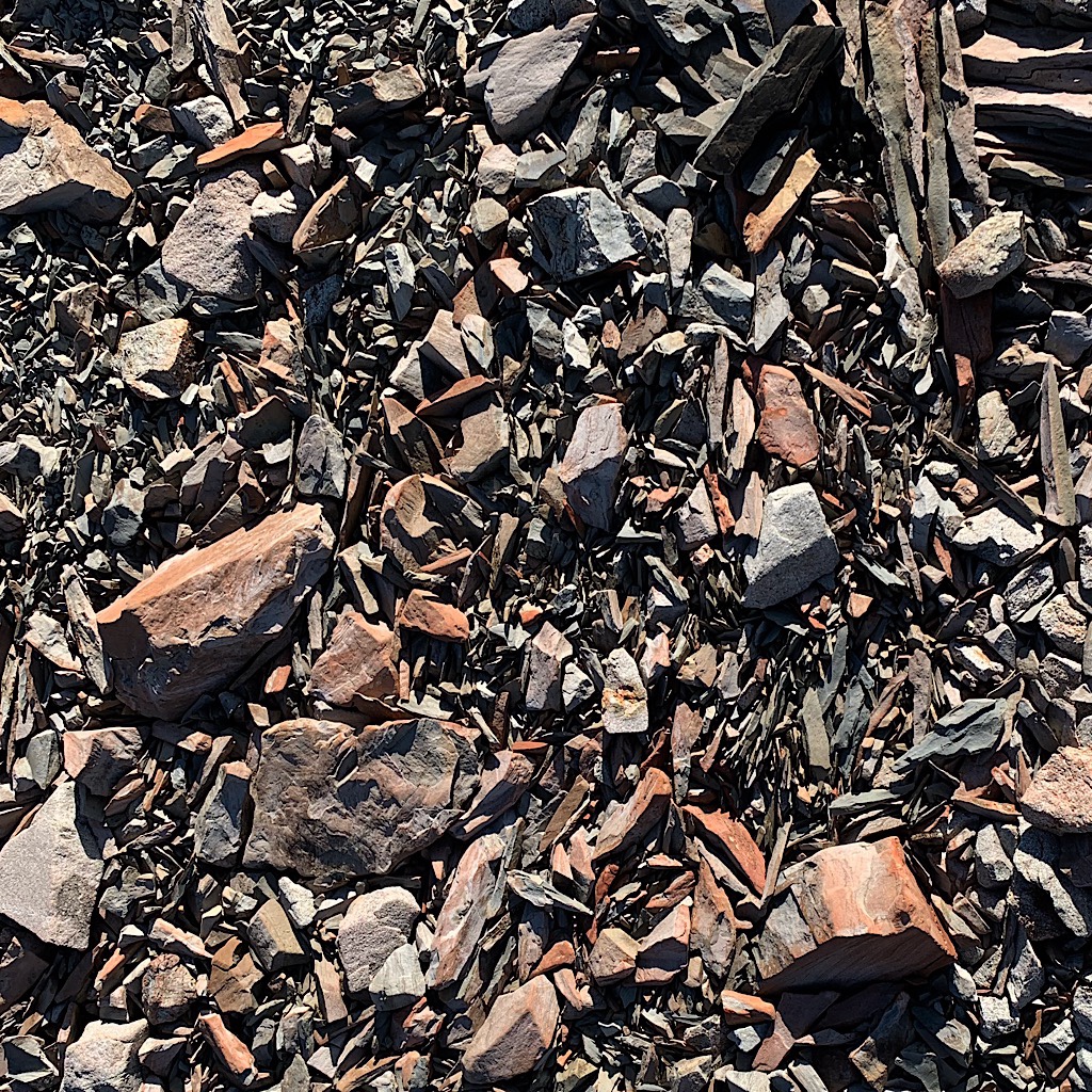
To get there, we have to climb up a scree slope of slate, slate that makes a pingy, almost high-pitched metallic sound when I step on it. The slope is steep, but the rocks bunch around my feet when I kick in and, for the most part, hold me steady.
I punch-kick up to firmer towers, then climb them more confidently until I reach a small ridge where I can walk upright towards the summit for my reward.
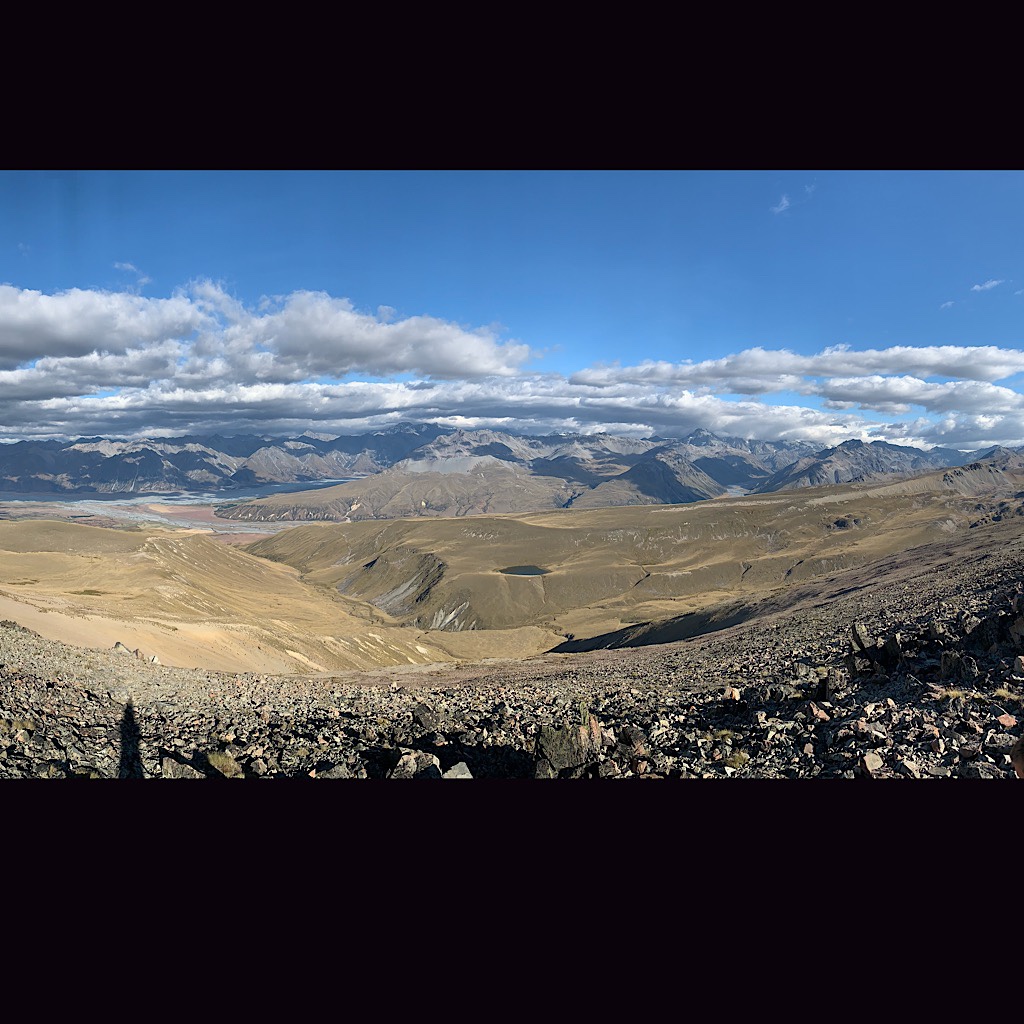
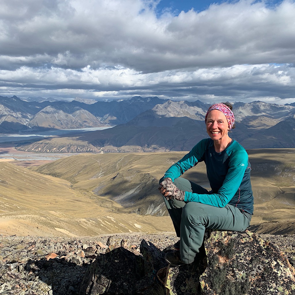
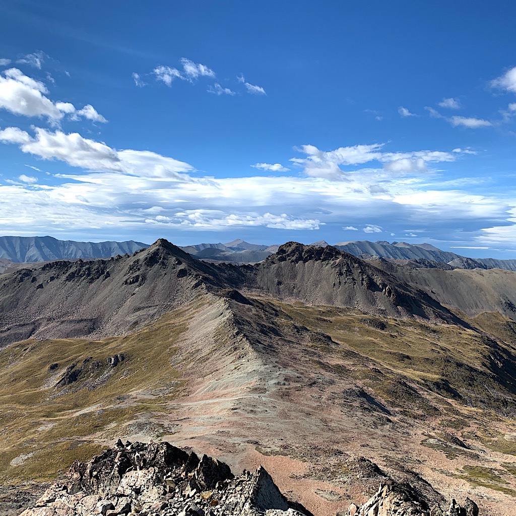
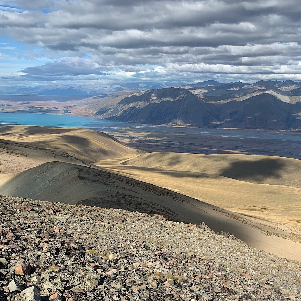
I have service so send a note to Richard and post one picture, sorry that it’s not quite enough to post my hiking diary. Tom talks to his sister while I kick back with this view on a blessed warm day of little wind and no bugs. Thunder rumbles menacingly over the distant mountains on the other side of the divide as clouds build and a rainbow – more a rain-bar – appears in the cleft between Cook and a lesser peak. I gobble up most of the food left in my pack, looking forward to reaching a town tomorrow. It’s hard to leave this special place, imprinted on my heart and mind forever.
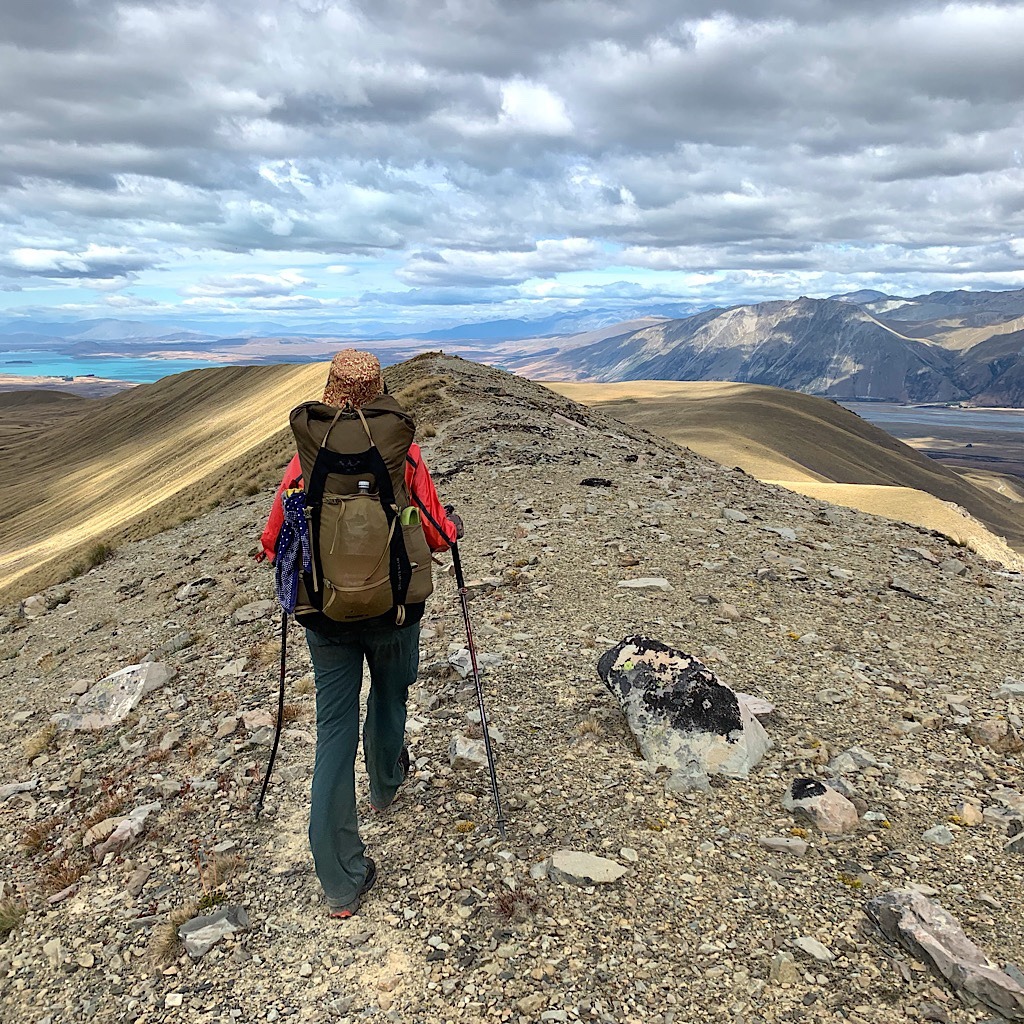
All good things must come to an end to make room for more good things. We work our way down the easy side of the peak on an actual trail. It stays right on the spine of the ridge, the view following me all the way down. I meet three NOBO’s and we share beta on camp spots and huts before going our separate ways.
I am moving well on this splendid trail, the kind I long for most days walking the TA, and of course it veers right when I need to veer left. But I am confused when I see an orange pole ahead, so follow it – up and off course. I go up a ways before checking my map and realizing my mistake, contouring down humpy tussock and sharp spear grass towards Camp stream.
Where I see no sign of a trail or poles, just more tussock and spear grass, along with thorn bushes and rock fields.
I know I need to follow the stream so push ahead, the spear grass spearing me, thorns joining in for a little blood sport. Water is not confined to the stream as I hit bright green mossy wetlands, sinking into one up to my knees, and myriad rushing water courses hidden beneath grass. It’s not far, but far enough to send me into a tailspin of upset, unable to find any trace a foot has stepped here before.
Then, out of the blue, there’s an orange pole. No path or subsequent pole, but at least this is ‘a’ way to go. Ahead I see Tom striding along to an obvious path up a hill, but for me to get there is through an obstacle course of sharp grass, muddy lumps and rocky drops.
When I find him at last, he’s making noodles at a hut from the 1800s – with mattresses black from mold looking like they might need an update. It’s a sweet place, if old, but far too early to stop, so I do likewise, cooking up some noodles and planning another few hours walk to find a camp spot.
I leave on trail that seems well looked after, even the thorns have been hacked back. But I lose it crossing a stream – or maybe I’m just so used to only a suggestion of trail – that I fling myself right back into the thick of it, picking my way through a hellish mix of shrubs. Just when I start to scream for mercy, the trail appears under my feet – solid, clear, well-trodden – and off I go.
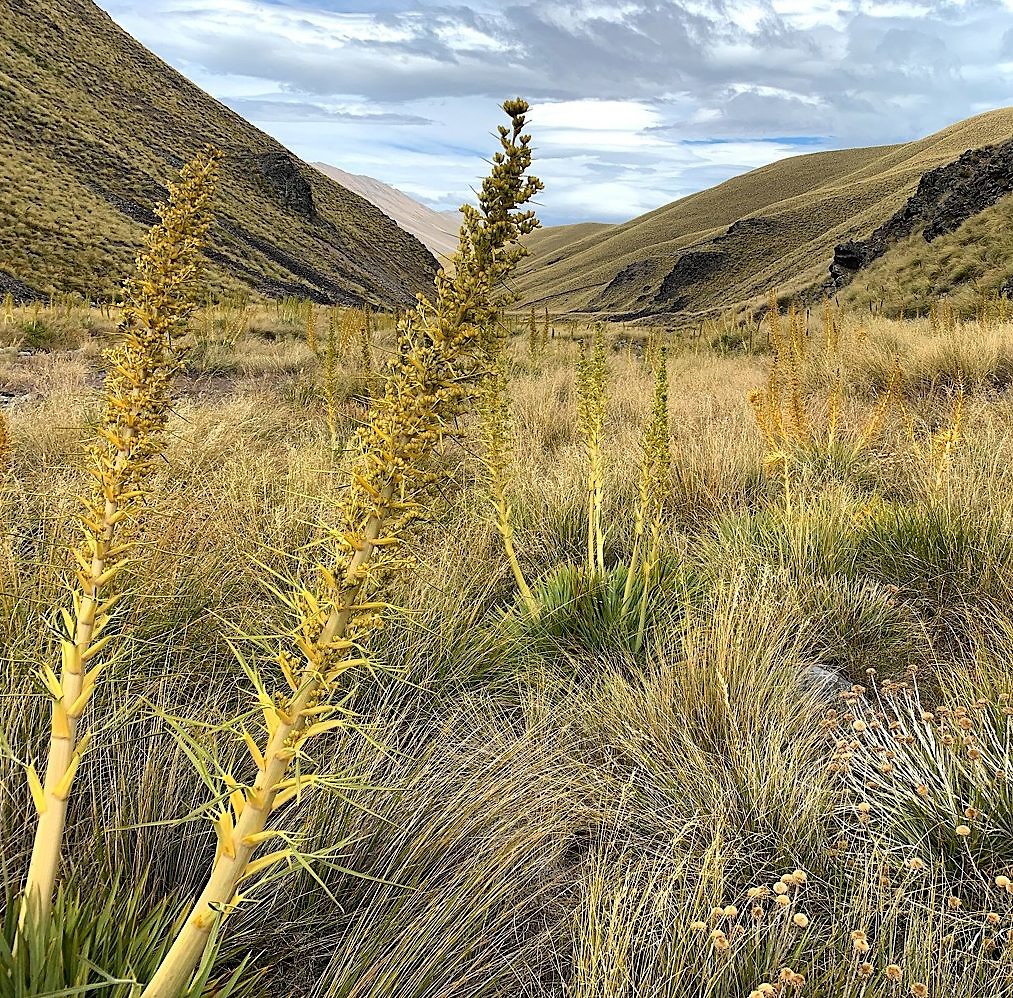
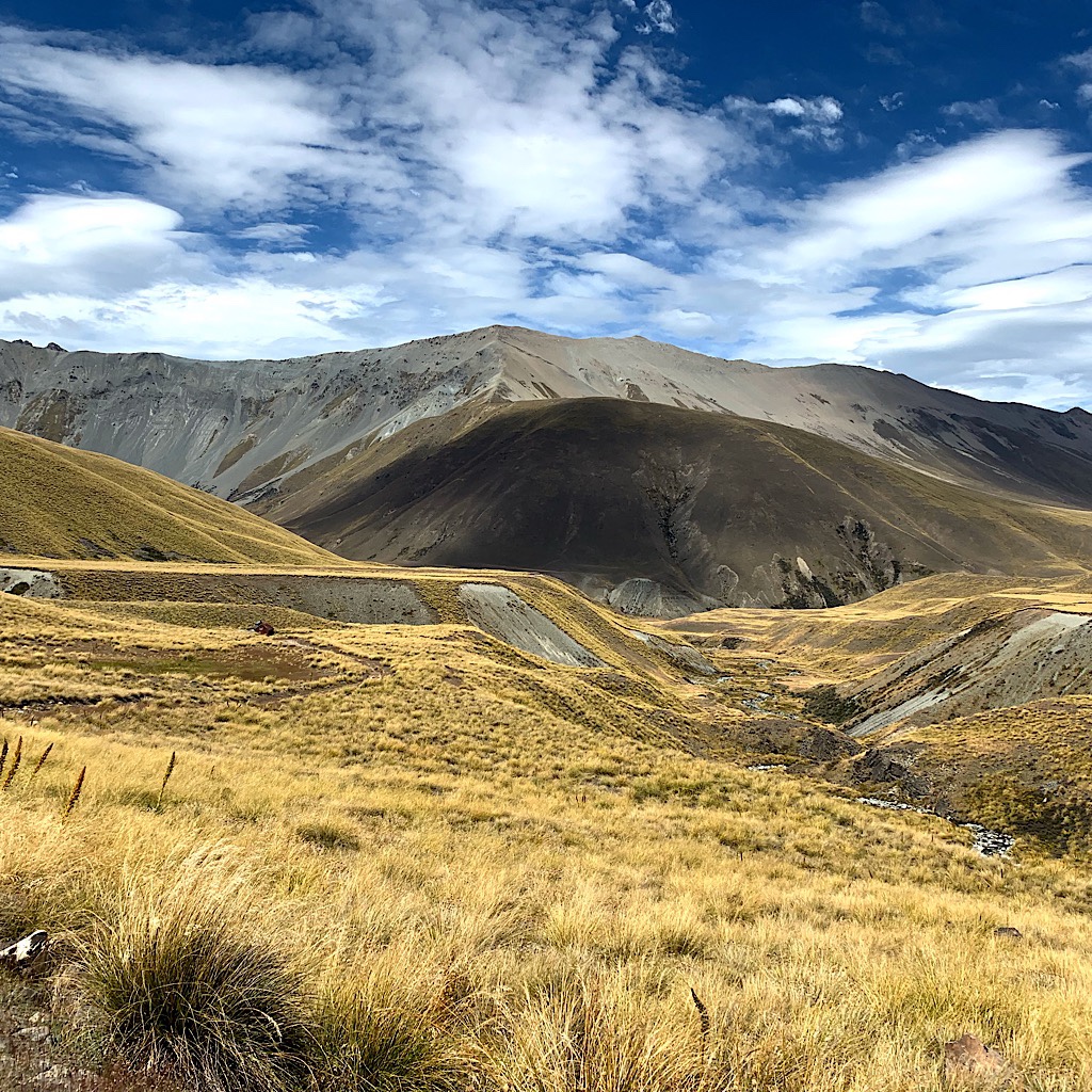
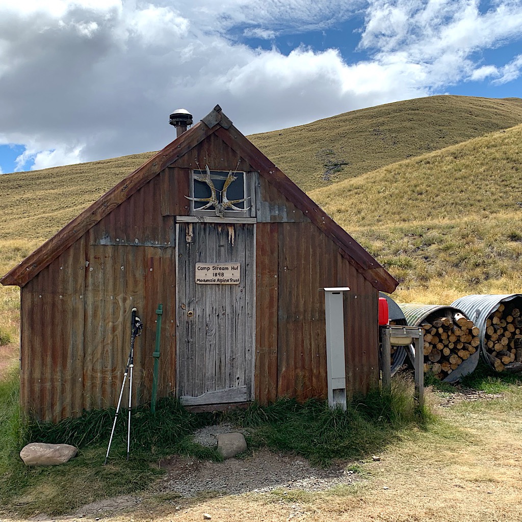
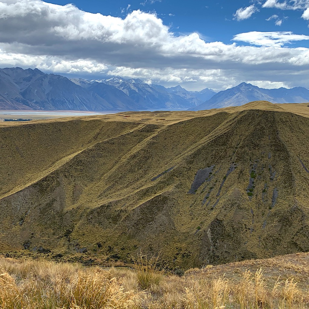
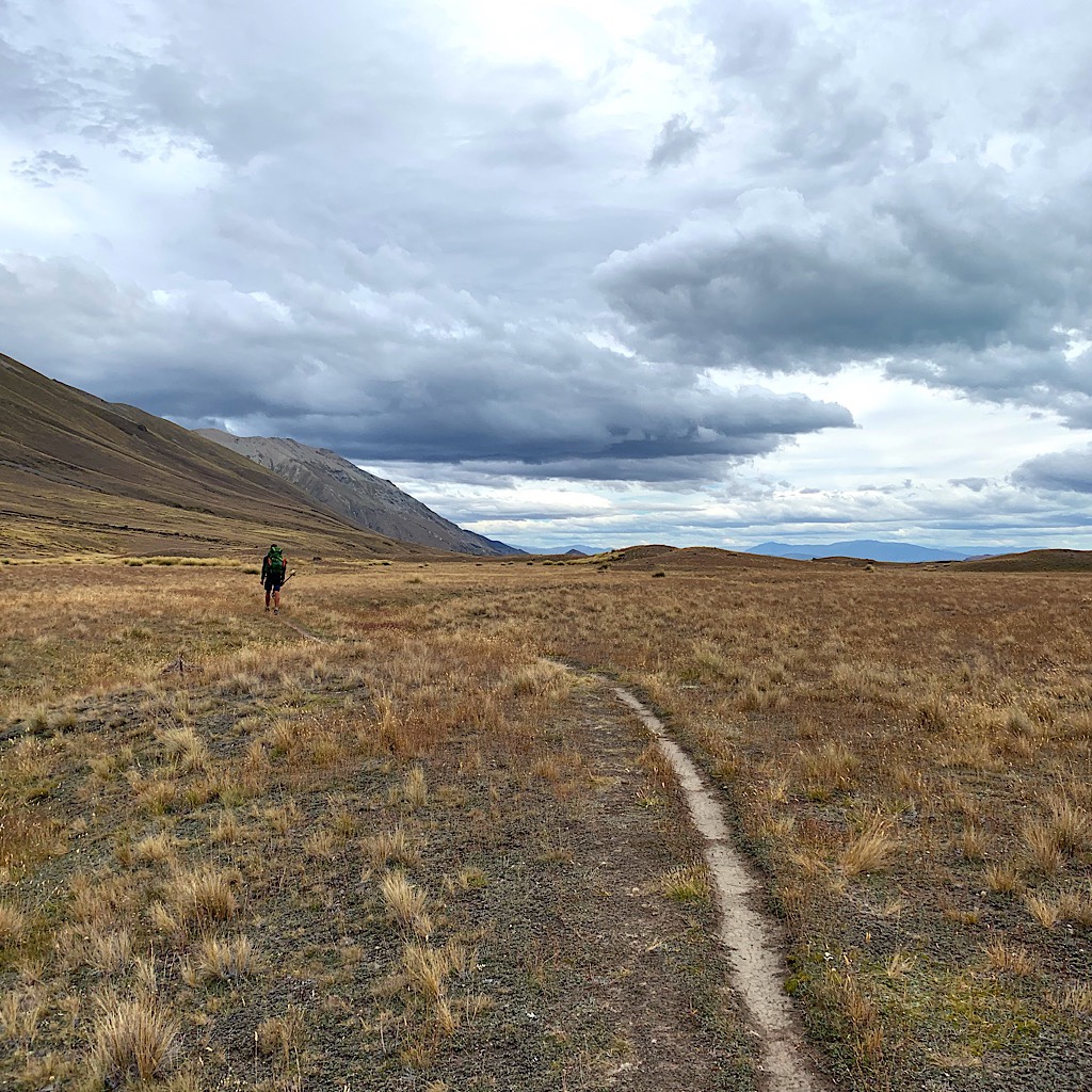
This area is beautiful with soft grass and a rushing stream, but it’s still too early to stop, so I carry on, lulled – like life sometimes – into believing the trail will continue on this way to the lake.
Just ahead an orange pole indicates to go up, I follow it with my eyes and see myriad poles shrinking in size as they climb steeply back up the ridge. Ah well, back to work – and besides, down here by the stream I lost all my views, surely they’ll return after a good sweat.
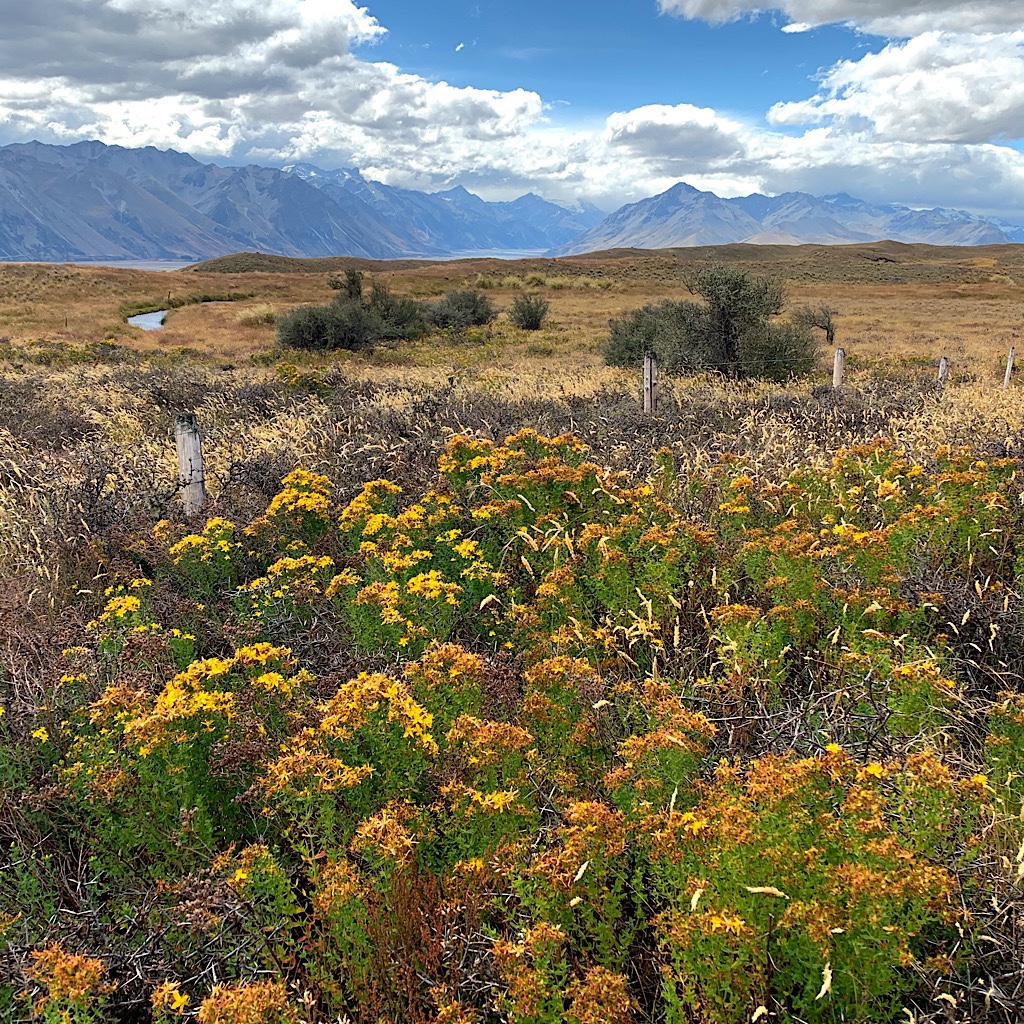
And indeed they do, Mount Cook’s huge glacier gleaming in the sunlight. The trail is wonderful, like an American trail, and I glide along every so often stopping to admire the mountains above the lake, fed by snaky streams of snow melt.
The wind is high and I fear finding a calm place for the alicoop, but I stumble right into the ideal location, tucked away from sight and the heaving wind and also right next to a tiny brook, the meadow-grass a glorious mattress.
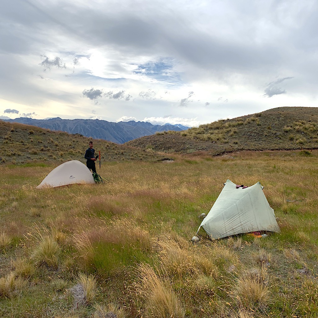
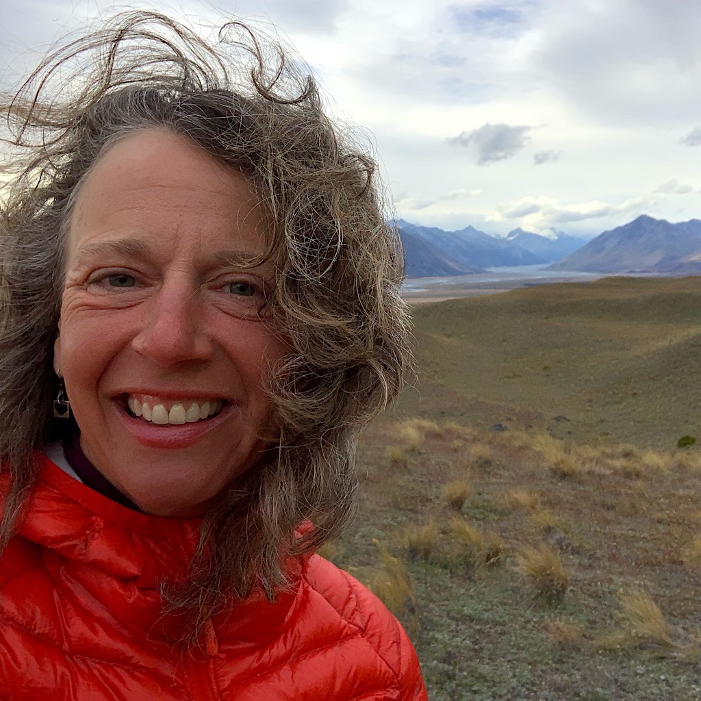
Again, at only 8:00, I’m tucked in absolutely exhausted but so pleased to have had this spectacular day. I feel especially satisfied I climbed the peak above the saddle for the physical, mental and spiritual exhilaration it gave me. The small frustrating pieces balanced the day and made the glorious pieces even more so. I have enjoyed hut life, but when there are no bugs, nothing beats the snugness of the alicoop, where at the moment it is absolutely quiet and peaceful.
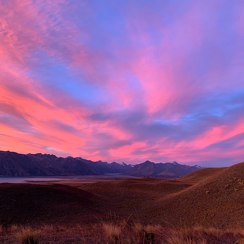
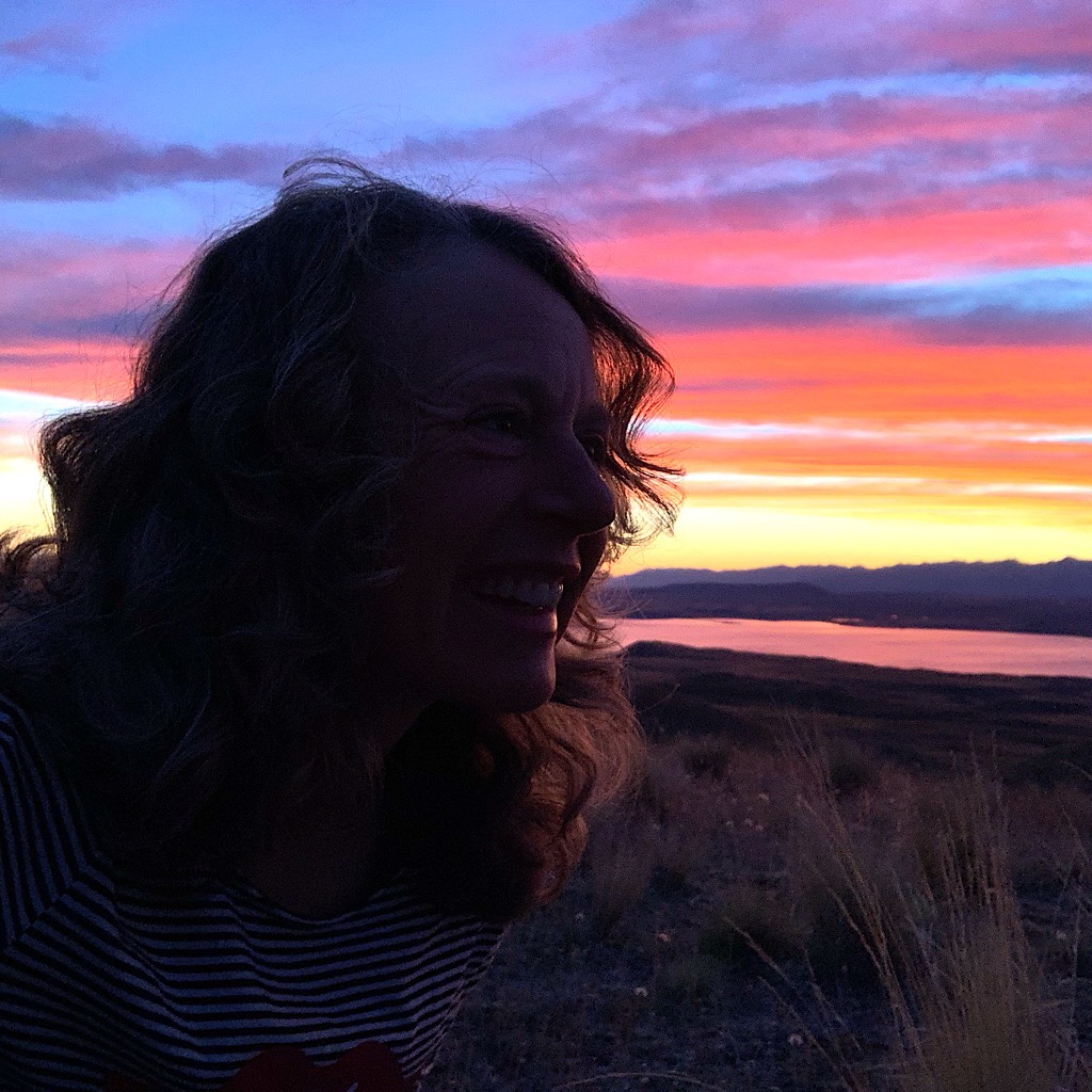
Topping it off, the sky glows a yellowy-orange-pink at sunset and the peaks are out of the clouds. The goddess with her watercolor brush creating magic – and now the lake is violet. The final mauve fades to blue-gray against pale yellow, as I look for this night’s first star.


12 Responses
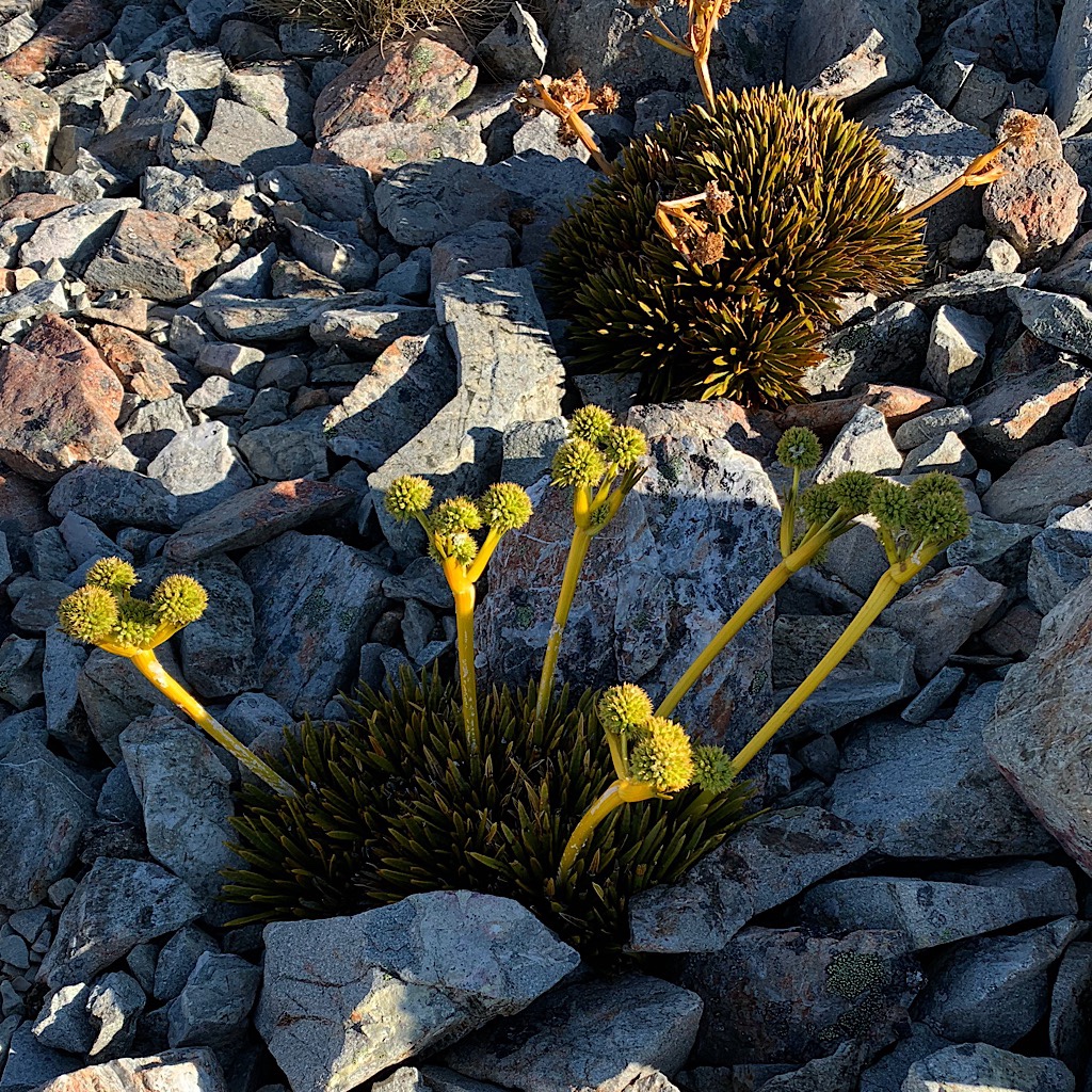
Our influence must have rubbed off on you Alison – the photo you posted of the yellow flowers is a huge patch of St John’s Wort! Keep on trucking hun – you’re crushing it.
wahoo! good eye 😍
The pictures are so continuously stunning and amazing!
Beautiful! What an epic journey! It is thrilling to see that view, if only in photos.
All best as you continue.
thank you! reminds me of Colorado!!
Congratulations on reaching the 100th day! Keep up the good work!
includes bike riding tomorrow!!!