
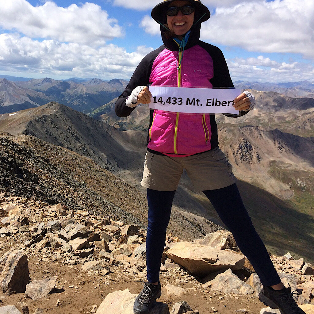
CO: Sawatch Range Fourteeners, CO
In two weeks _ and with supreme weather – I scaled all 15 of the “Fourteeners” in the Sawatch Range of Colorado.
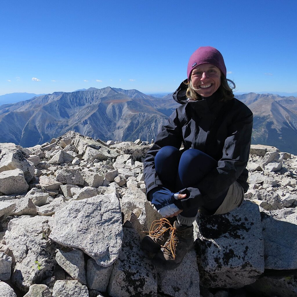
CO: Colorado Trail
The monsoon couldn’t stop a trio of hikers from taking in this magnificent thru-hike.
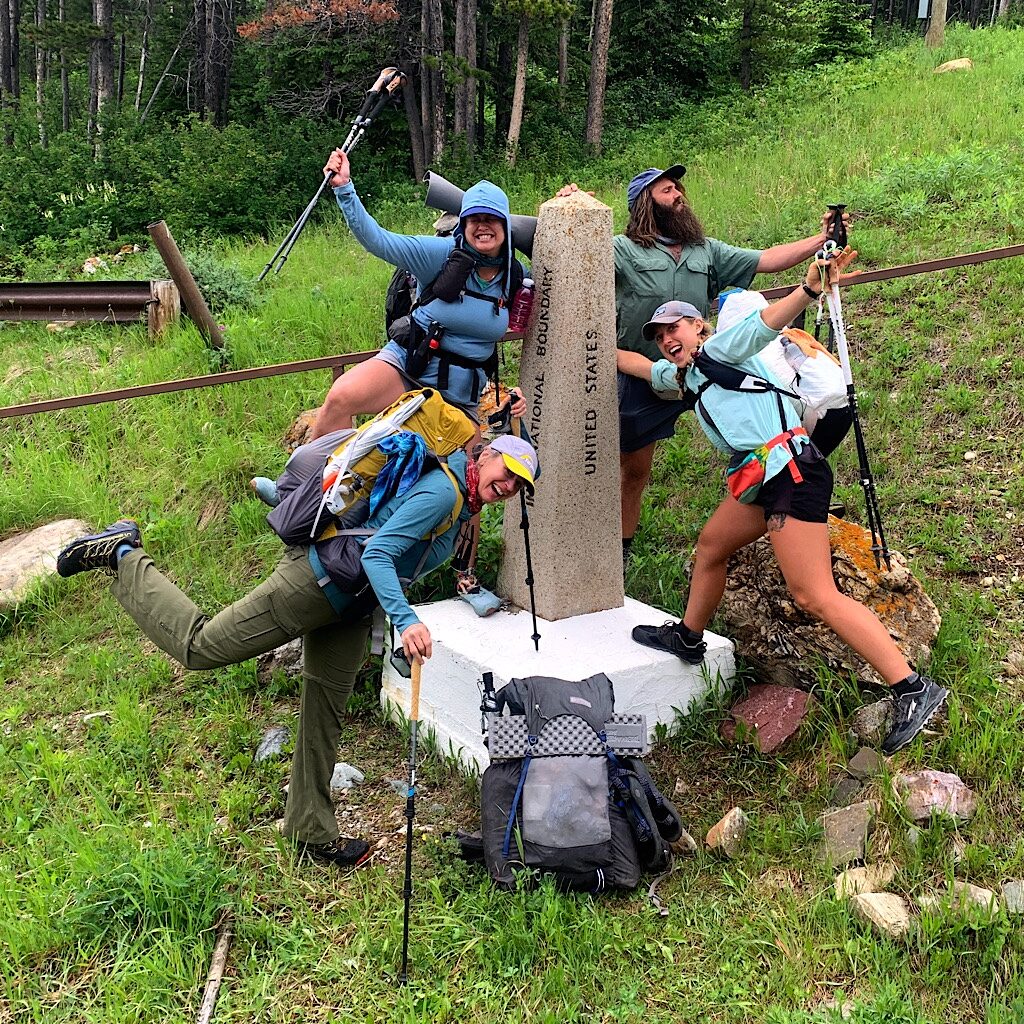
MT: Day 1, Chief Mountain to Cosley Lake, 9 miles (GNP)
From the border at Chief Mountain, it was a nine-mile walk off trail and through thunderstorms.
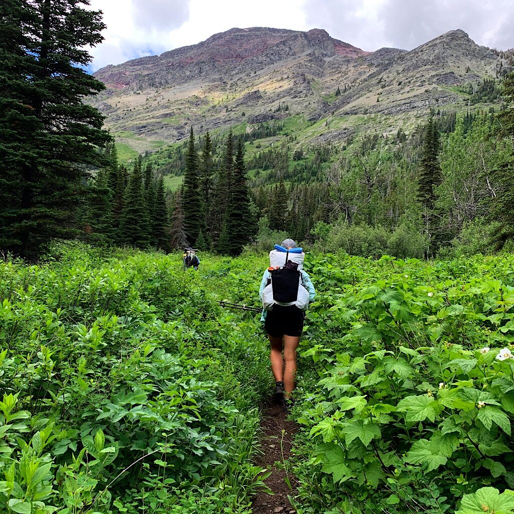
MT: Day 2, Cosley Lake to Foot Elizabeth Lake, 4 miles (GNP)
Getting CDT permits was tricky and we had only a short hike to Elizabeth Lake, but it was stunning.
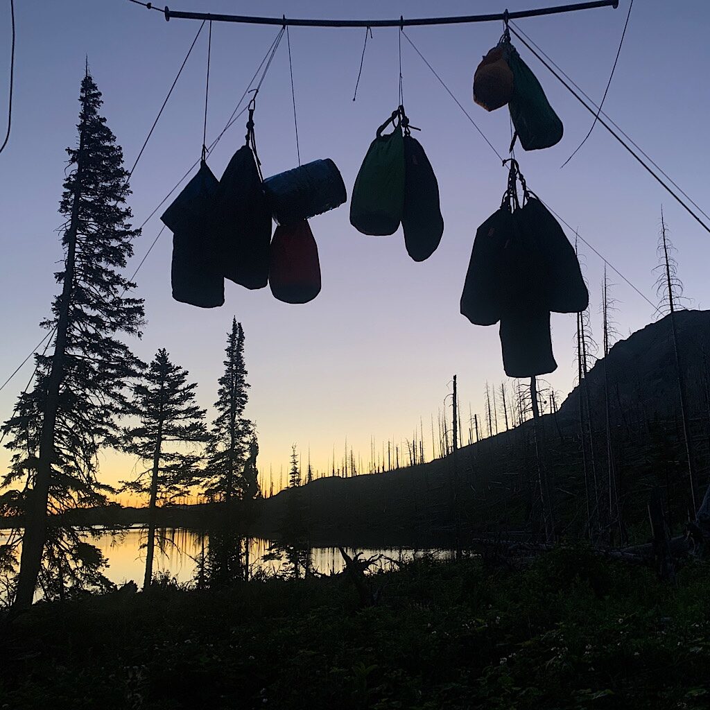
MT: Day 3, Elizabeth Lake to Poia Lake, 10 miles (GNP)
I walked up my first pass at Red Gap strong and assured through wildflowers and one bit of snow.
MT: Day 4, Poia to Many Glacier (GNP)
The hike was short, but surprisingly steep in forest and meadow, followed by a hot road walk.
MT: Day 5, Many Glacier to Reynolds Creek, 15 miles (GNP)
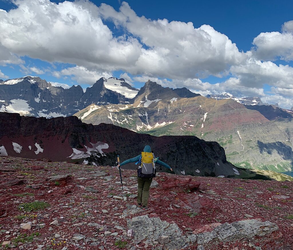
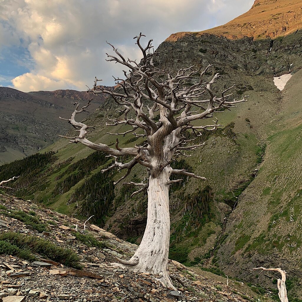
The trail up to Piegan Pass was covered in snow over switchbacks and required careful crossing.
MT: Day 6: Reynolds Creek to Head Red Eagle Lake, 15 miles (GNP)
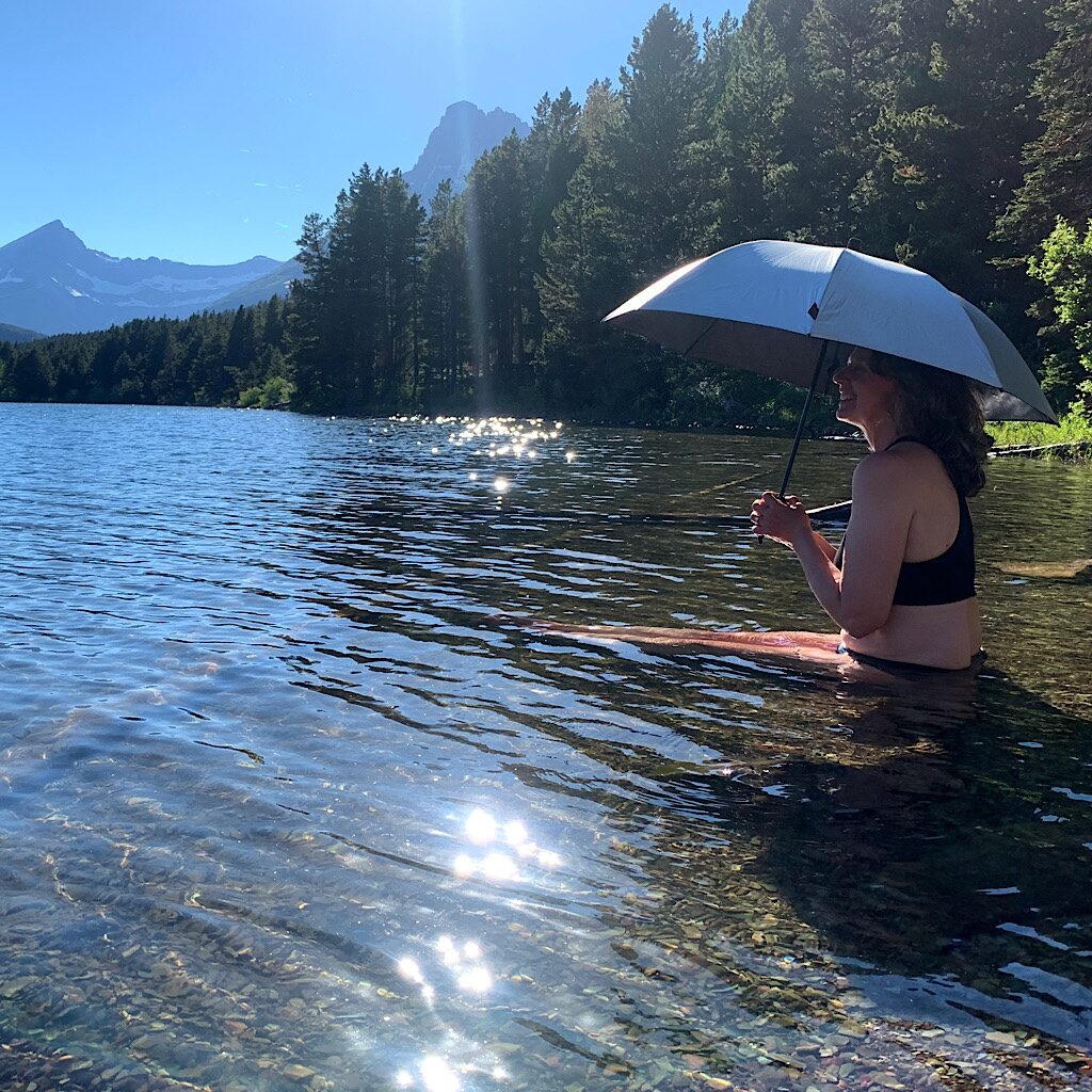
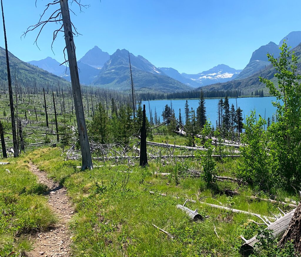
The walk is hot through overgrowth, past spectacular falls and views to a burn area with no shade.
MT: Day 7, Head Red Eagle Lake to Atlantic Creek, 12 miles (GNP)
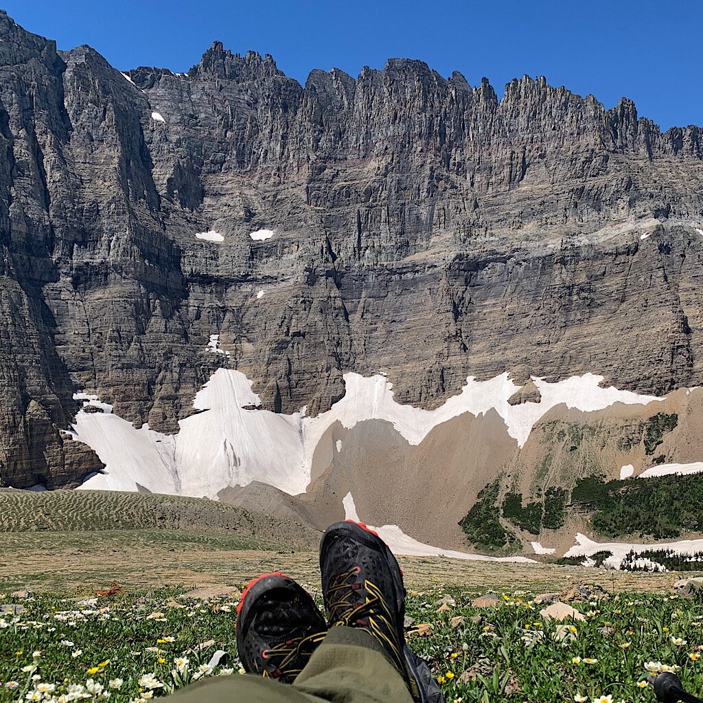
I get an early start with shade all the way to final zigzags up Triple Divide Pass, then spend hours on top.
MT: Day 8, Atlantic Creek to Two Medicine, 18 miles (GNP)
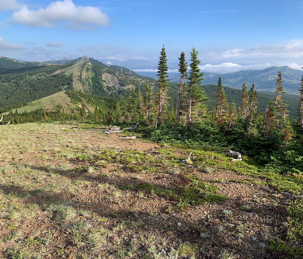
The CDT alternate over Dawson Pass is some of the finest ‘balcony walking’ of any trail.
MT: Day 9, Two Medicine to East Glacier, 11 miles (GNP)
The final push out of Glacier is over Signal Mountain then through Blackfeet Nation land.
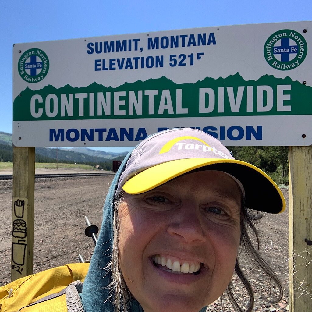
MT: day 10, East Glacier to Summit Campground, 15 miles (Bob)
It’s a long, overgrown and buggy walk out of East Glacier towards the wilderness.
MT: day 11, Summit Campground to Badger Station, 15 miles (Bob)
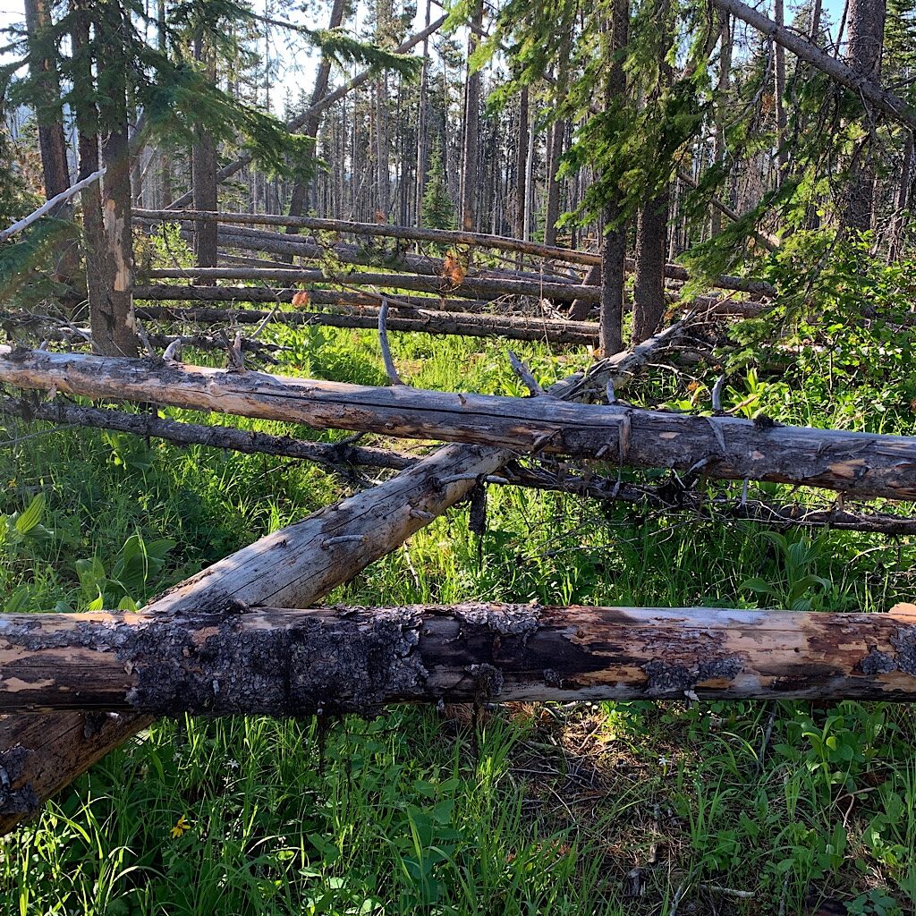
The start of ‘The Bob’ is a seven-mile stretch of blowdowns on PUDS or pointless up and downs.
MT: day 12, Badger Station to Cox Creek, 18 miles (Bob)
The trail heads up a steep slope with views of snow-capped mountains, then into a fairy forest.
MT: day 13, Cox Creek to Fools Creek, 20 miles (Bob)
It’s flat through a flower filled burn area then a balcony walk looking and climbing up and over dead fall.
MT: day 14, Fools Creek to Mine Creek, 19 miles (Bob)
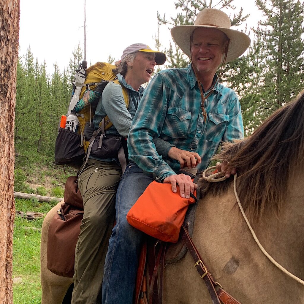
I take an alternate along the Sun River to avoid blowdowns and ride a horse across a ford.
MT: Day 15, Miner’s Creek and out
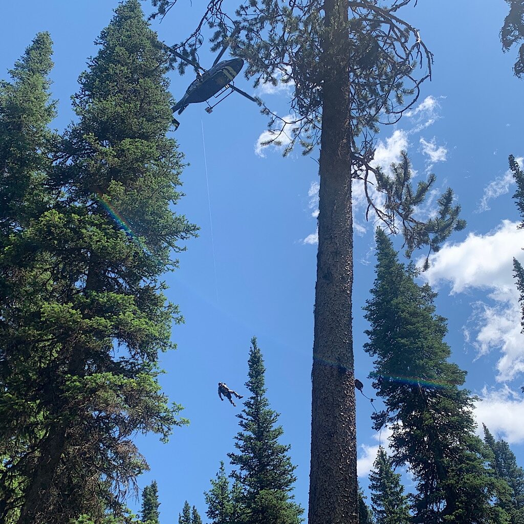
I walk four miles with heavy feet, gasping for air as my heart races, then hit the SOS.
off trail
I’m “trail angeled” then head home on the Empire Builder to see a cardiologist and return to trail.
waiting
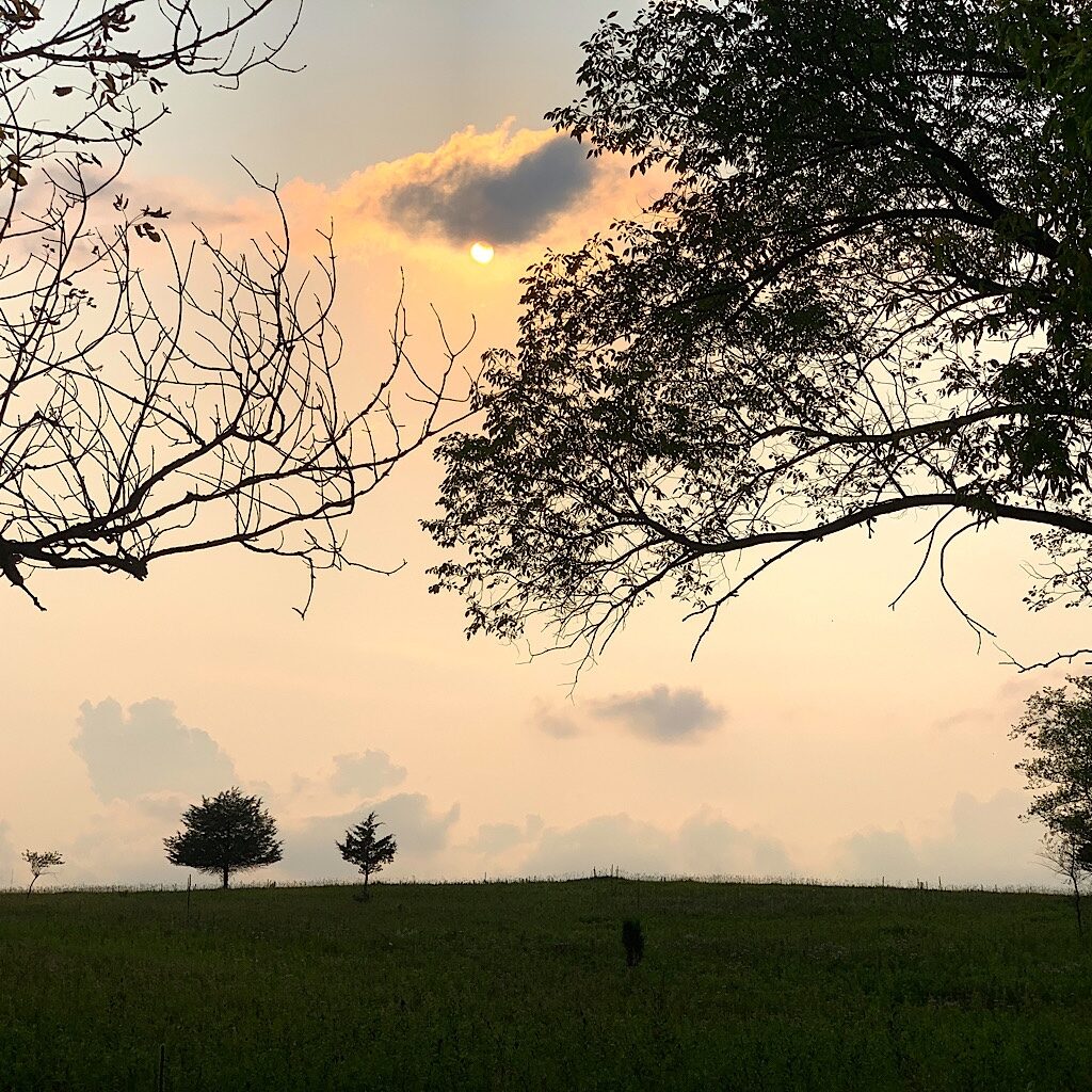
Moved by Simone Biles, I practice patience and open to nature’s wonders on a local hike.
grace
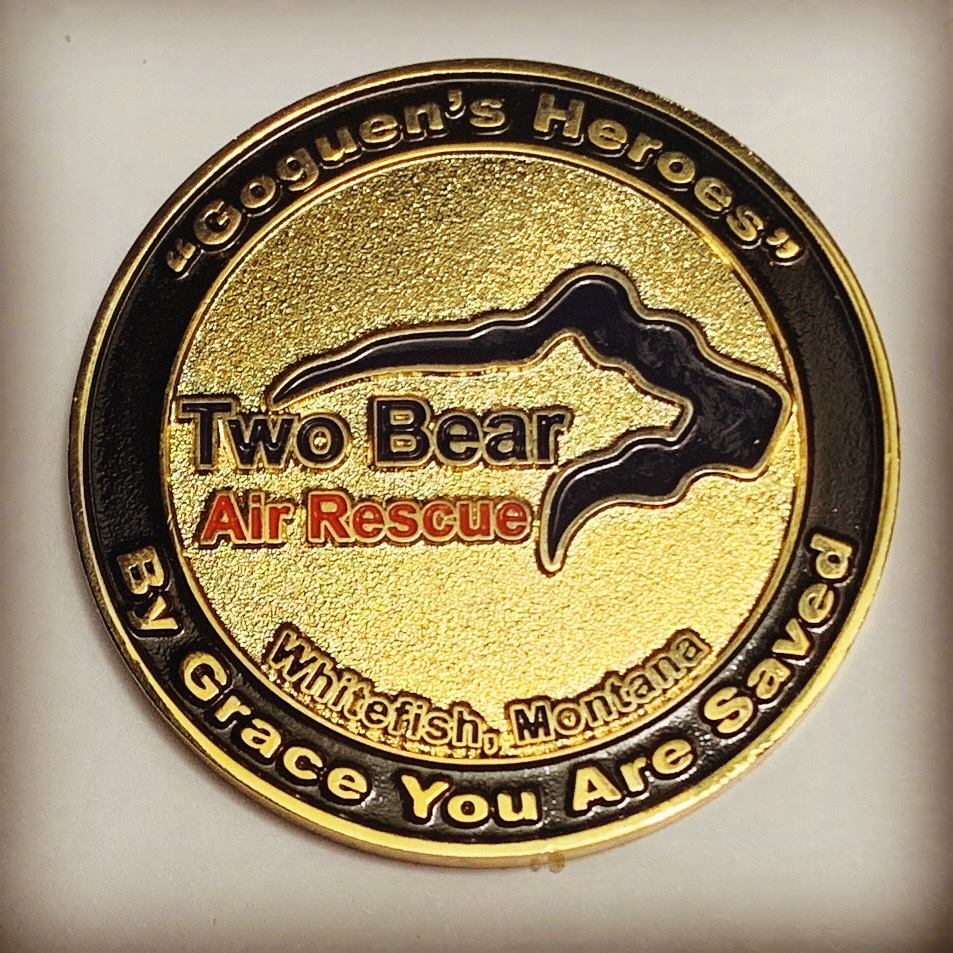
Two Bear Air Rescue sent me a reminder that every day is a gift and to never take it for granted.
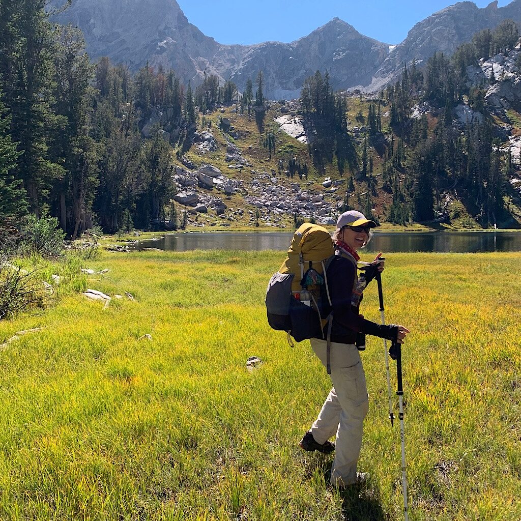
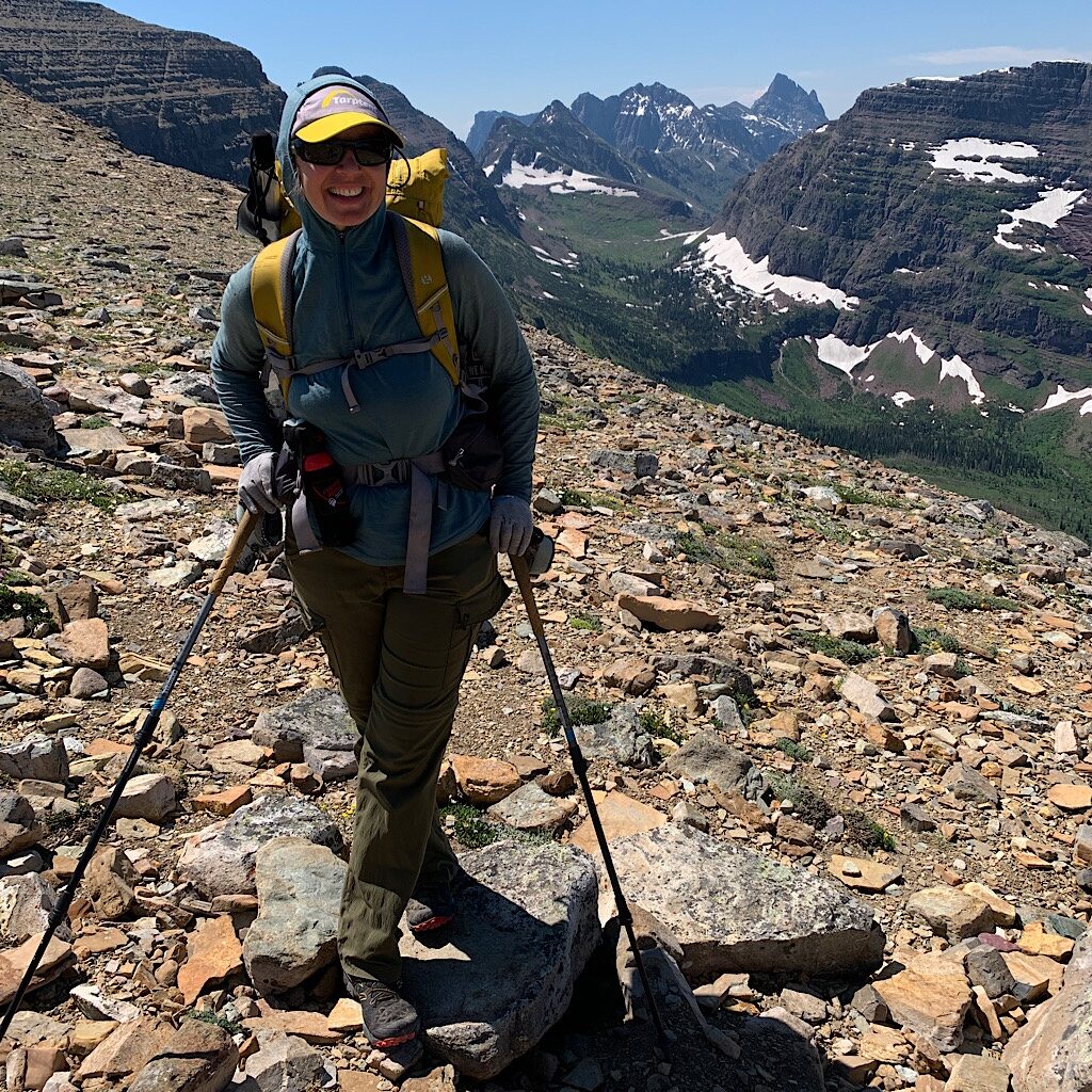
WY: Teton Crest Trail: Day 1, Leigh Lake to Upper Paintbrush, 7.2 miles
Feeling strong with a mostly “all-clear” from my cardiologist, I begin hiking the Teton Crest Trail.
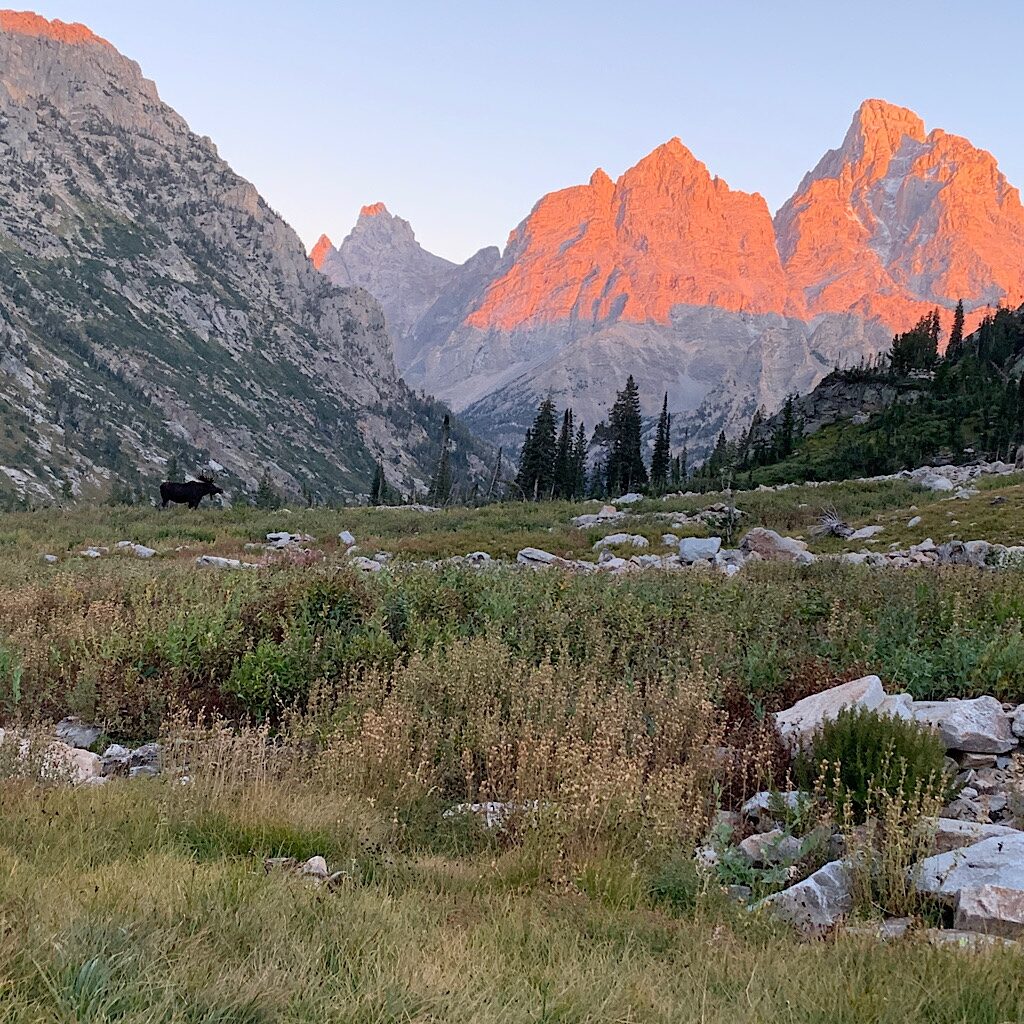
WY: Teton Crest Trail, Day 2: Upper Paintbrush to Upper Cascade, 4 miles
The Divide is short but steep to Lake Solitude where I nab the best site with its own resident moose.
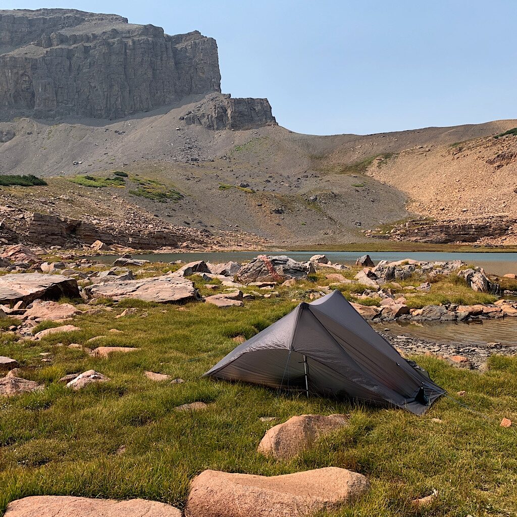
WY: Teton Crest Trail, Day 3: South Fork Cascade Canyon to Kit Lake, 7 miles
The trail traces Cascade Canyon to Avalanche Divide where an off-trail scramble takes me to a remote lake.
WY: Teton Crest Trail, Day 4: Kit Lake to Alaska Basin, 7 miles
Switchbacks over Hurricane Pass take Blissful into the magical polished granite of Alaska Basin.
