
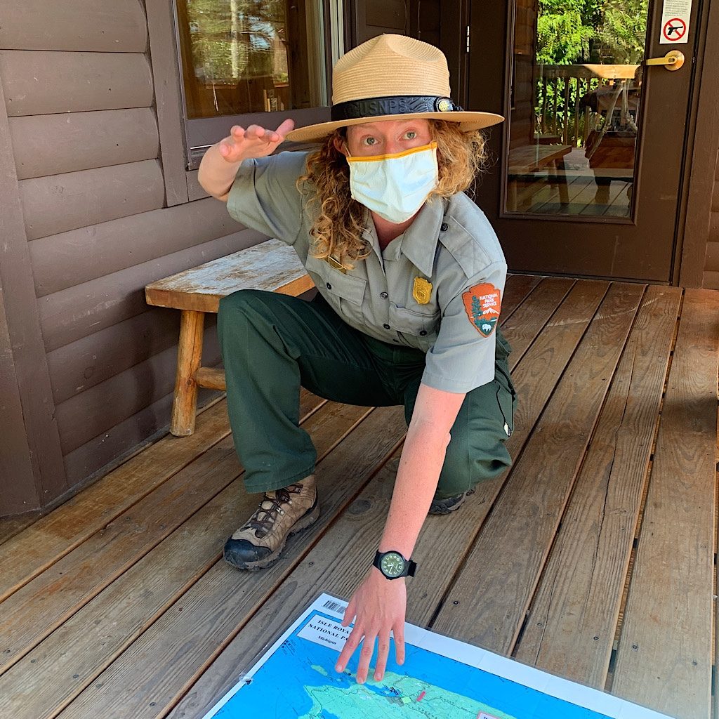
IRNP Day 1, Windigo to Hugginin Cove, 5.1 miles
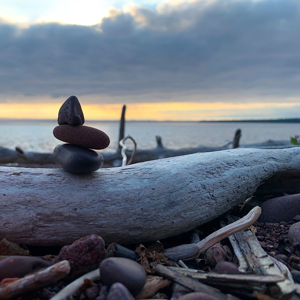
A fog delay offers me another side or the island with thimbleberries, a sunset and an averted injury.
IRNP Day 2, Hugginin Cove to Feldtmann Lake (Rainbow) Cove 14.4 miles
The trail heads up to a ridge before descending through thick brush where I meet a moose and a fox.
IRNP, Day 3, Feldtmann Lake to Siskiwit Bay, 10.2 miles
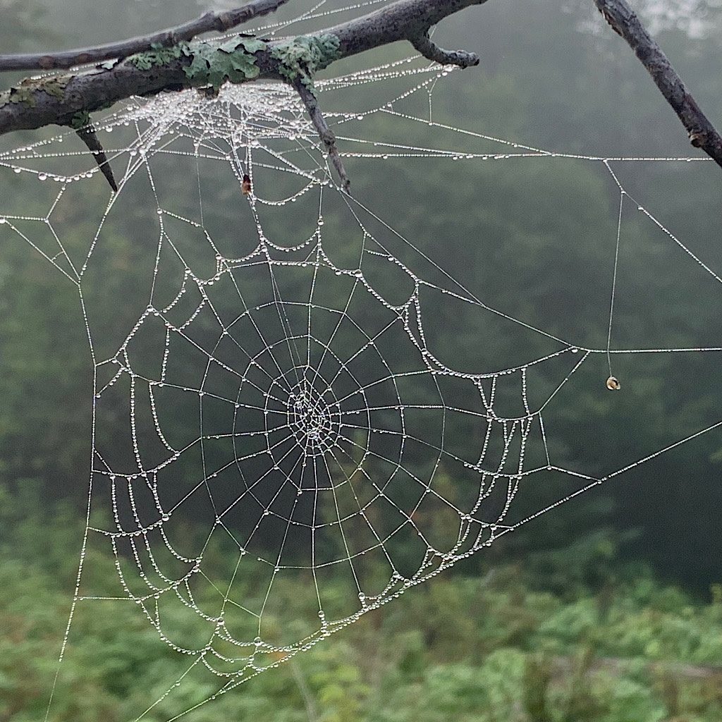
The walk to a view is fogged in, but Blissful is rewarded with thousands of dew-covered spider webs.
IRNP, Day 4 Siskiwit Bay to South Lake Desor, 9.8 miles
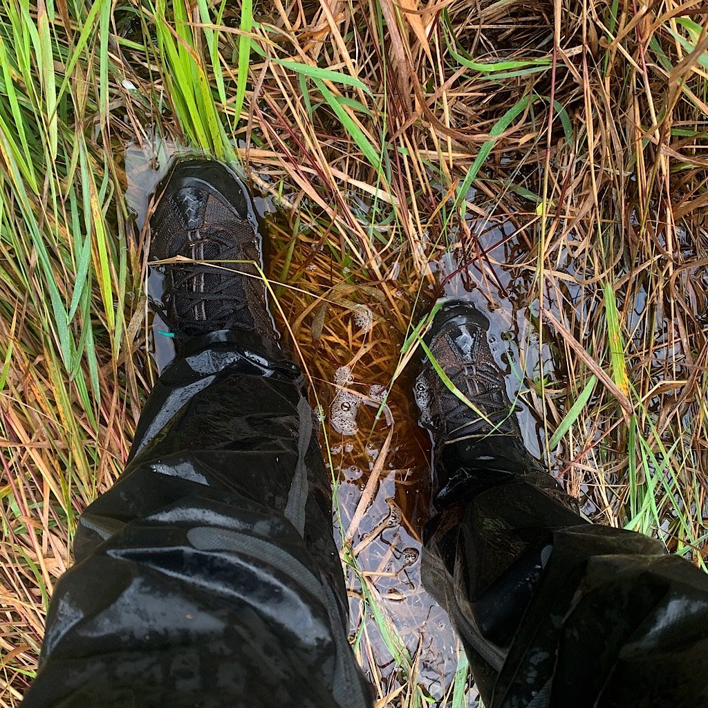
Carnelian beach is slow through overgrowth and wetland, then it’s over Mount Desor to a lake.
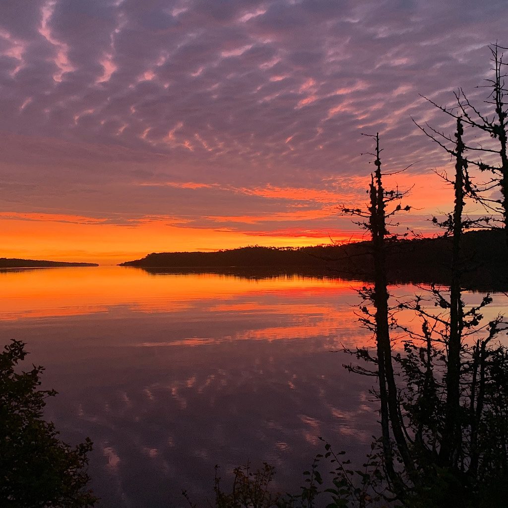
IRNP Day 5, South Lake Desor to Todd Harbor, 11.6 miles
The Minong Ridge meanders through dams, birches then to a stunning campsite facing Canada.
IRNP Day 6, Todd Harbor to McCargoe Cove, 6.2 miles
It’s a short walk to the cove through lightening, thunder and a downpour.
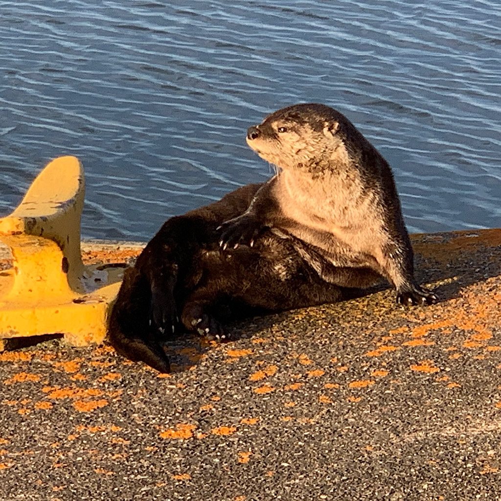
IRNP, Day 7 McCargoe Cove to Moskey Basin, 9.8 miles
Passing Chickenbone and Ritchie Lakes to Moskey, I’m attacked by leeches, then see otters at sunset.
IRNP, Day 8 Moskey Basin to Lane Cove, 10.8 miles
The trail heads up to Mount Ojibwe then down into forest to a remote cove.
IRNP, Day 9 Lane Cove to Rock Harbor, 7.7 miles
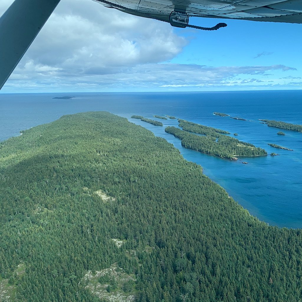
It’s a rewind of the trail out of Lane Cove to Rock Harbor where the wind delays the plane.
