The road to success is always under construction. Lily Tomlin
It was a night of dueling owls and a morning of dueling doves. A falling star flew through the sky just as Ted informs me it‘s 5:00. I guess manually changing your iPhone clock ahead of daylight savings doesn’t work since my clock reads 4:00. I much prefer a bit more sleep, but he’s up surprisingly fast and packing already, so I make coffee and top up our water. One glorious part of cowgirl camping is not having to deal with a tent, setting it or packing it up, so it’s relatively easy in dry sand to pack up and go. A huge day awaits us – twenty miles and 7,200 feet of climbing, and we’ll have to carry all the water we’ll need for the climb.
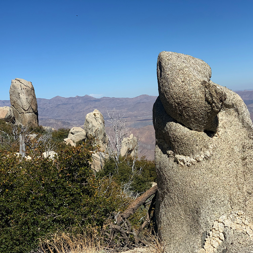
San Jacinto rises dramatically from the desert, foreboding. I can see weathered rock outcroppings in funky shapes high above as well as pine trees, but not a clue as to where the trail goes. We pass a landmark on the map app of ‘rusted pipe’ before heading up on well graded switchbacks. We breath steadily, and even though it’s hard work heading up, the path is gradual and, at this time of day, still cool in the shade.
I parse out my four liters planning to drink each one at 15 miles to go, then 11, 7 and 3. I’m not all that thirsty after a few miles, but break out some ‘quench’ gum to see if it works. Definitely does for the first two minutes of lemony flavor, though after that it’s just hard on my jaw to chew We move along well, Ted leading at a good clip. With the time change, it will be pitch dark by 5:30. I really have no interest in hiking at night. With such awesome views, it hardly seems worth it just to march and gain miles. But that means I need to use the whole day to get to water. We figure if we average two miles per hour, we ought to safely reach the river and (hopefully, though not guaranteed) a camp spot.
Granite returns to the PCT like a little Sierra, even if the desert below tells us we’re far away. At first, it’s as though we rise straight above the tiny enclave of houses, but they disappear, as does the road and any trace of where we camped last night. A man who manages the water pipes dropped by last night and told me there’s a more direct route to the summit with a waterfall, but it requires bushwhacking and is practically vertical. This trail keeps the summit in view, but swings way out and around to get there – and there is not a trace of a waterfall.
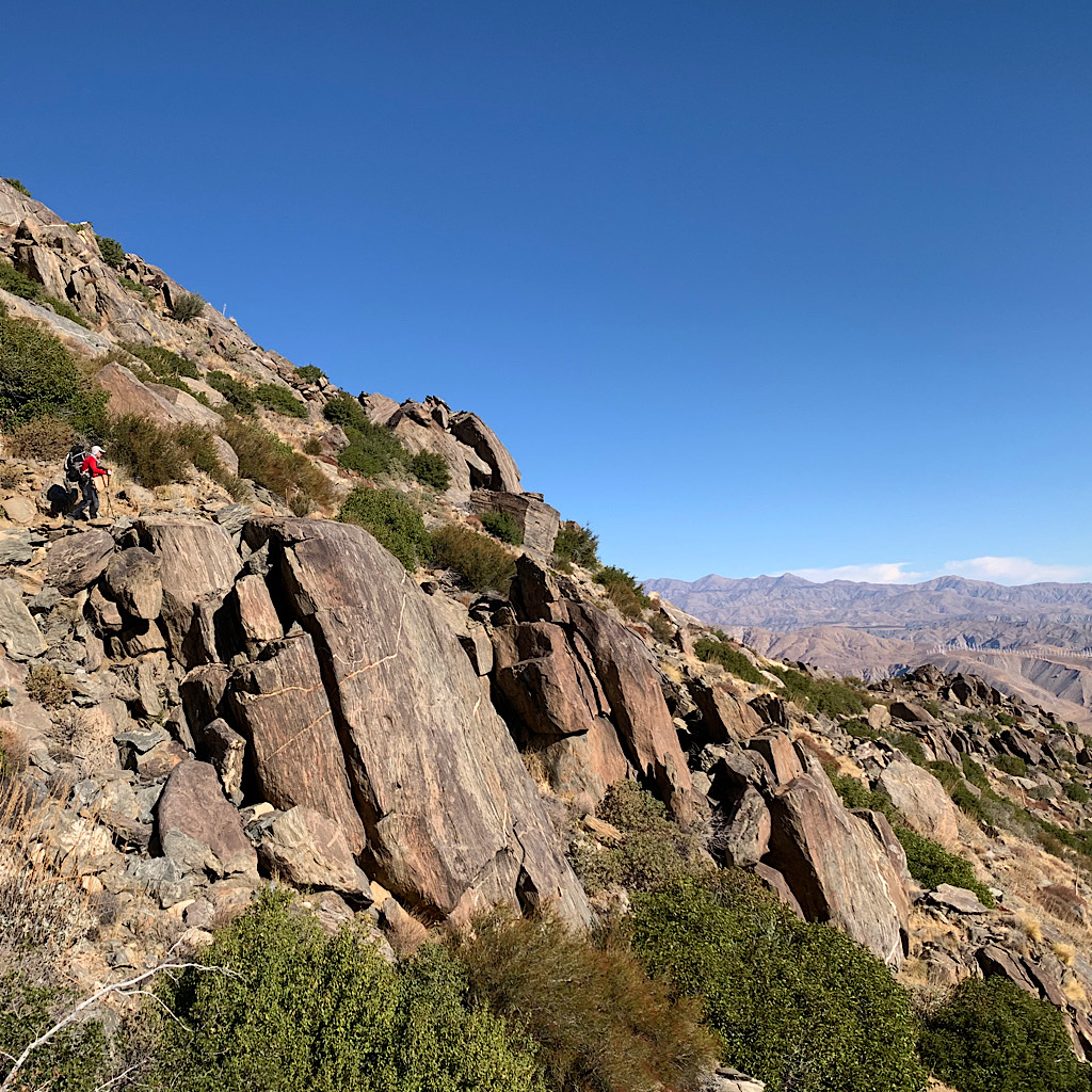
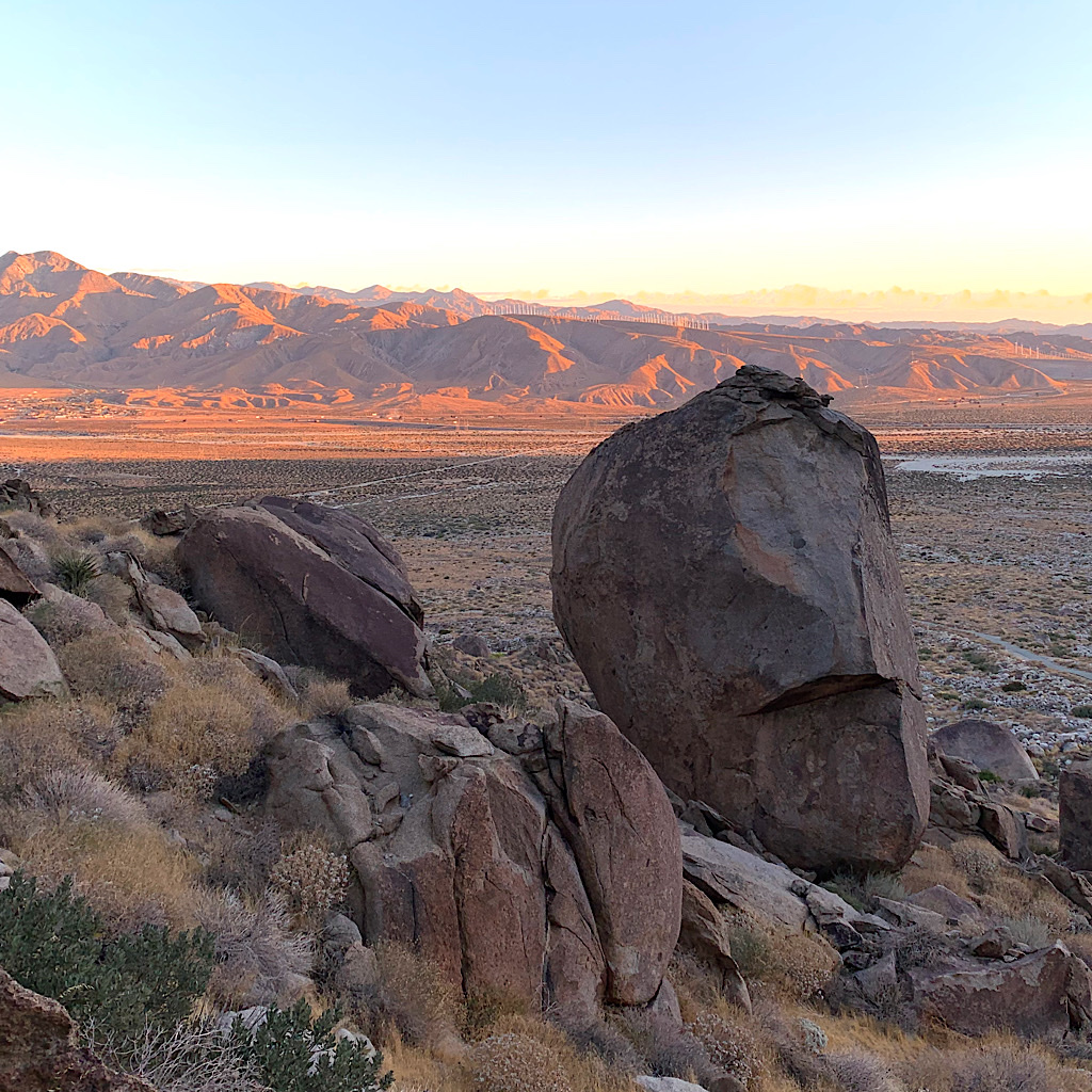
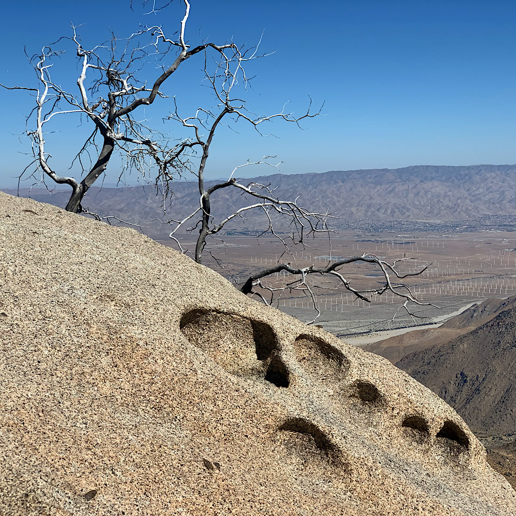
We push up and up, almost like flying above the freeway and train tracks, the reservation, casino and houses on a grid of streets, and traces of dried up rivers in long braids. The plants are low and scrubby. A snake slithers out of Ted’s way at a sign that marks 200 miles remaining. The windmills appear like white sticks in rows, sadly a bit like Arlington cemetery.
We stop for water on rocks in shade, then press on. I laugh remembering the children yesterday saying they couldn’t call Ted by his trail name, ‘Terrible Ted,’ and prefer Mr. Ted. We stop again many miles higher for water in shade. It’s not hot, although the wind is not blowing at all. Here I see small oak bushes with fat acorns attached sideways and upside down in clusters. Gnats arrive, not quite as annoying as before but still requiring my bug burka. At our third stop with even more miles walked, I choose a spot looking up to the peak which frustratingly still appears far away, a bit of wind keeps the gnats off as we eat meat and cheese and ration a few ‘smarties’ or M&M’s.
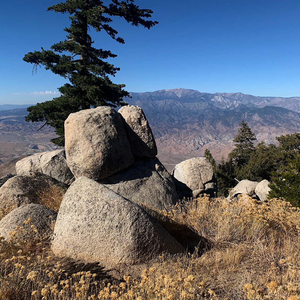
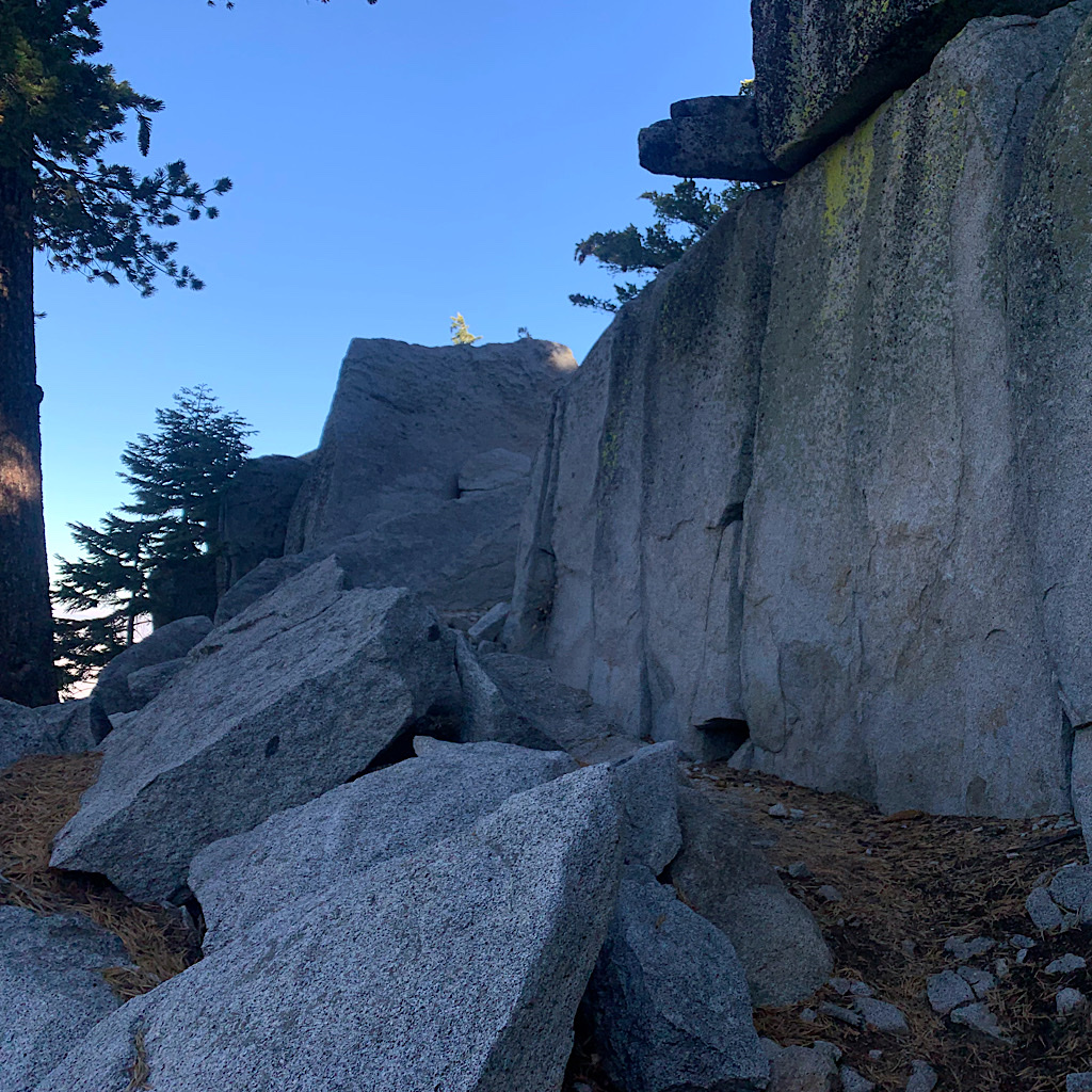
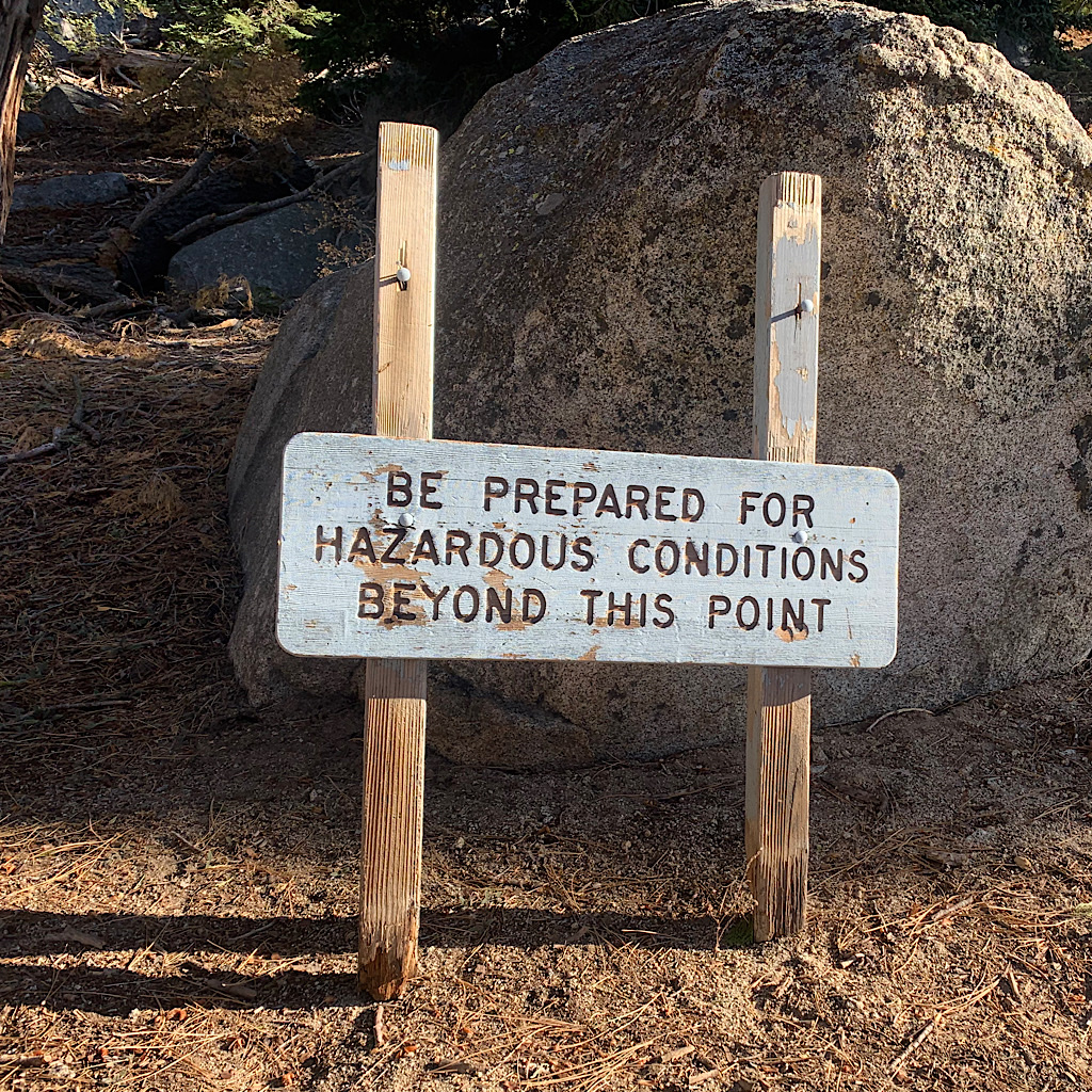
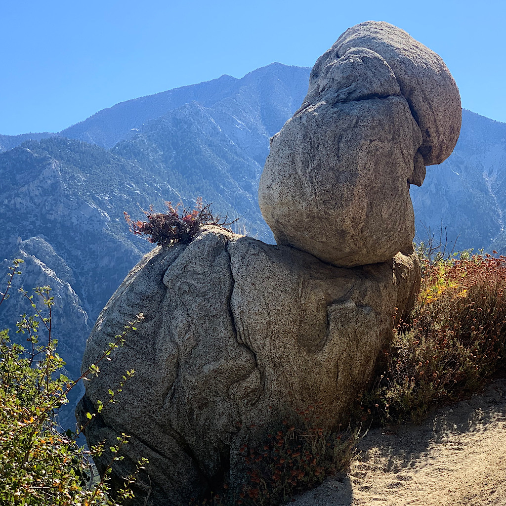
We begin to get back into pines with enormous, sharp-edged pinecones. At the dirt road, we pass a hunter on the last day of deer season hoping for his buck. Two hikers rest on a rock and are amazed I came all the way from Canada. There’s no cache at the road, but we’re fine with what we’re carrying – at least so far. A sign warns us of hazards ahead, but all we encounter is a flatter trail.That’s until we get to the final few miles, which require a steep bit down to go right back up, and, you guessed it, steeply – three separate times. Ted misses the switchbacks, likely because Yorkshire’s Fell walkers tend to crack straight up and down and he’s surprised by a graded trail. We manage to stay on it, though, winding through whimsically shaped rock looking out to spectacular views of the rugged mountains we walked through a few days ago from Big Bear.
It’s only a few miles to water, but things get shockingly steeper right at the end of this ling day all the way until the final ascent, the steepest of all. We lose the trail for a moment and I decide to lead to ensure we stay on it. It’s slow going as the sun turns a deep orange. We hear the water long before finding it, a huge layer of ice frozen in place like a waterfall-icicle.
The sun is down as I fill all our bottles, nothing flat nearby. Ted is parched, his voice low and scratchy, but he walks ahead finding a flattish corner of a switchback where we can cowgirl camp. I quickly pump water for him to drink and we set up as the horizon changes into a red glow. The town lights twinkle far below and a nearly half-moon lights up our tiny real estate. I lay logs down so night hikers can see a bend in the trail and not walk into us. Dinner is quickly made, the hot camp food served in envelopes warms up cold fingers. Smarties are shared for ‘pudding’ and we crawl into our bags just as two sets of headlamped hikers pass by.
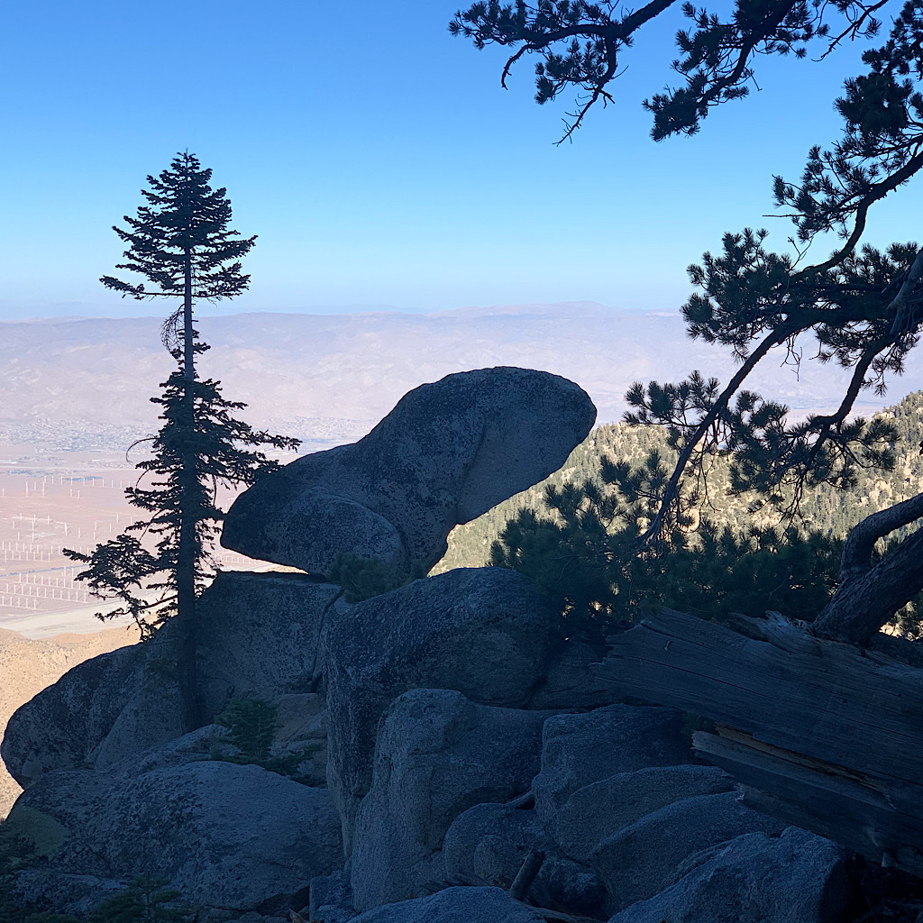
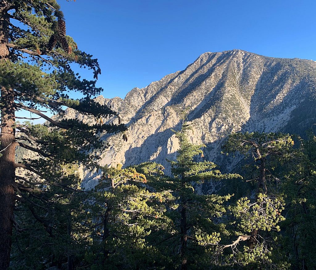
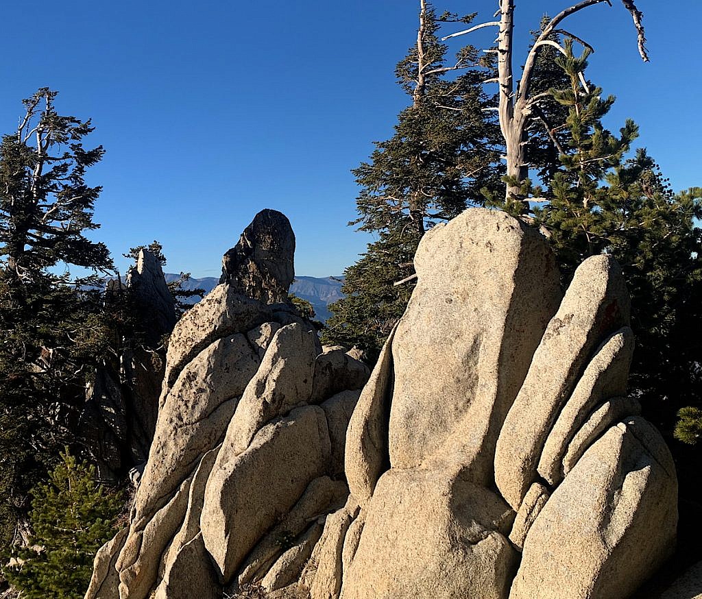
I’m proud of us managing this huge climb – I think the biggest of the entire PCT, at least all in one go – and we did it all in the short daylight we had. And after such hard work to then happily improvise a camp spot makes me even more pleased. I feel cozy warm right now as I fall into well earned sleep and dream of summiting Southern California’s highest peak on the PCT tomorrow morning. Good night!


4 Responses
Amazing hiking, pictures and commentary !
this is getting SO cool at the end! loving it!!
Alison…..kudos, kiddo….you are doing amazing…..200 miles to go….
Whoopee! Zola
taking it slow now and also resting, but feeling so good!