The question isn’t who’s going to let me; it’s who is going to stop me. – Ayn Rand
I sleep cozily, the creek singing a lullaby, but early in the morning, the temperature drops and I dive deeper under Big Greenie. I hear the men faffing about before it’s light and once I stick out my head from the alicoop, they’re gone. It’s such a beautiful little spot, but the creek is covered in ice and it takes a good bit of time for my chococoffee to heat up. As I pack up, I think of what Nathan told me last night, that I seem happier and more delighted in all I see than many of the thru-hikers he’s met – he says I truly am blissful.
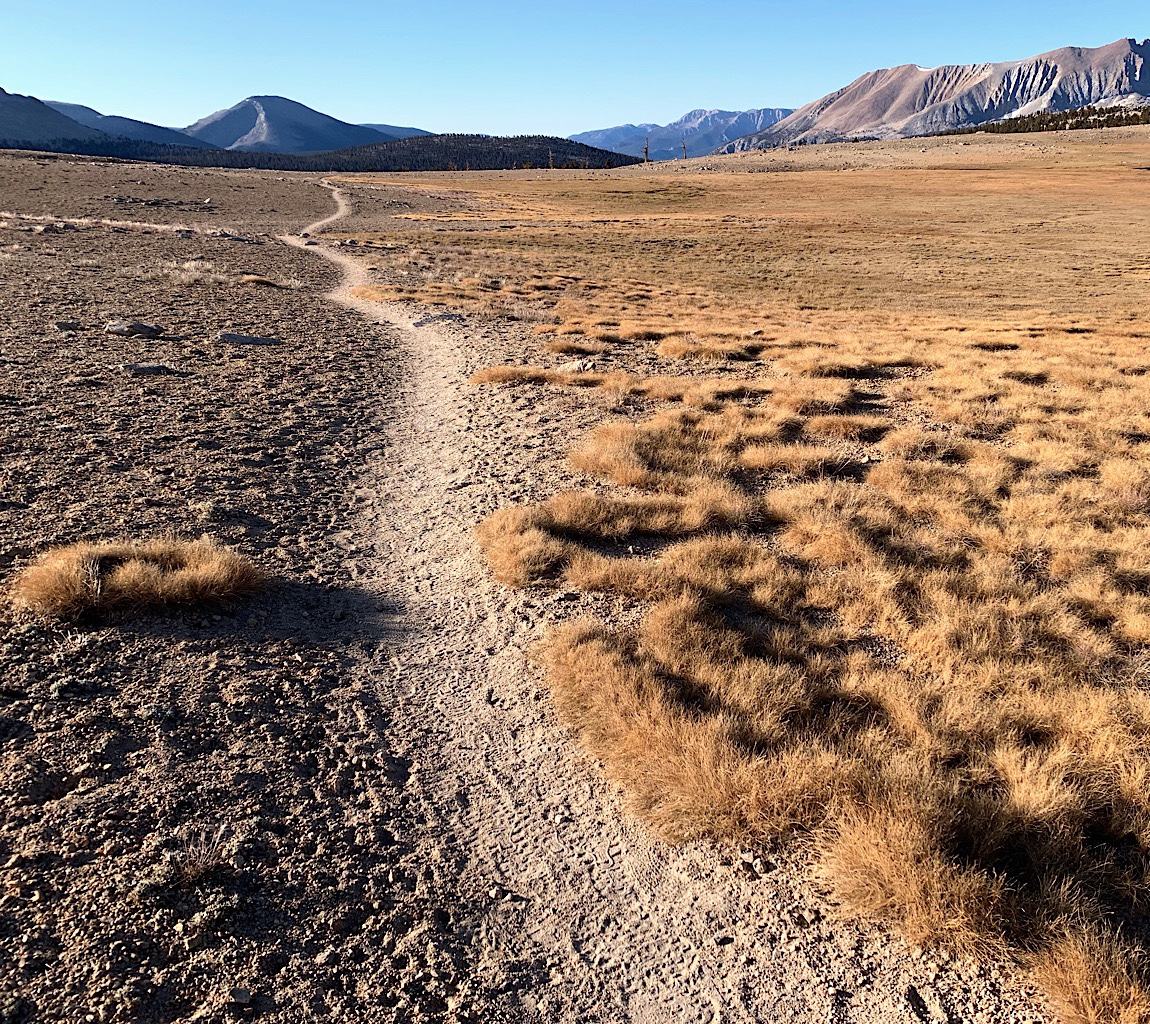
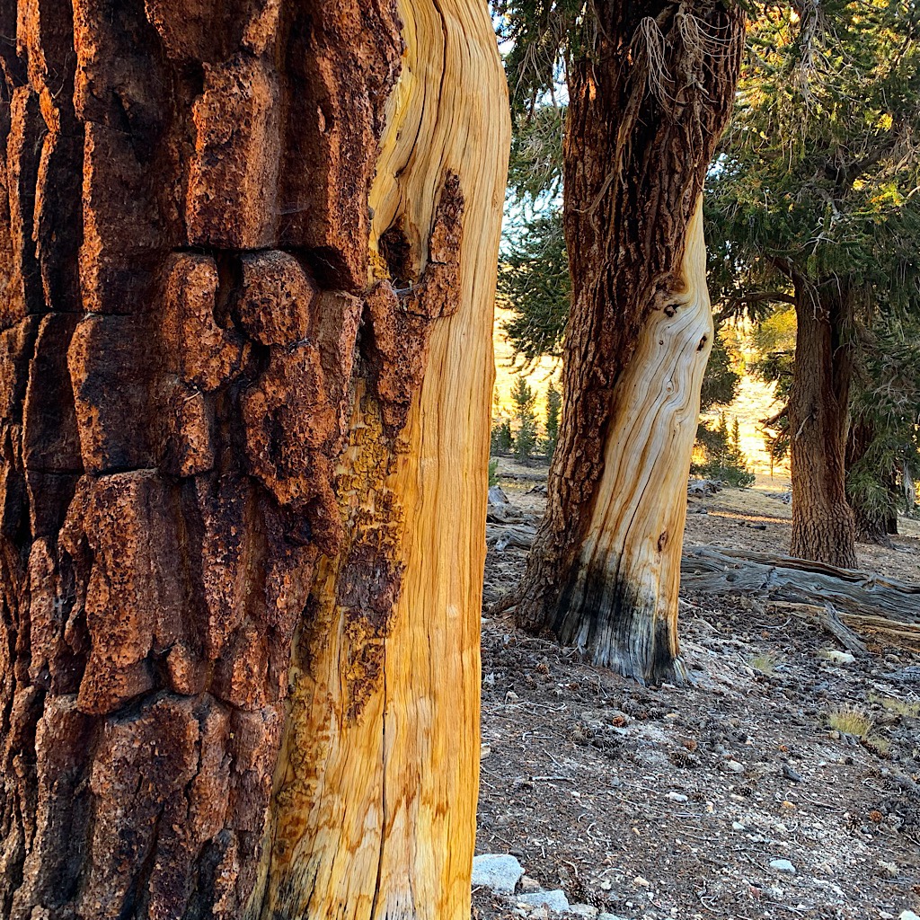
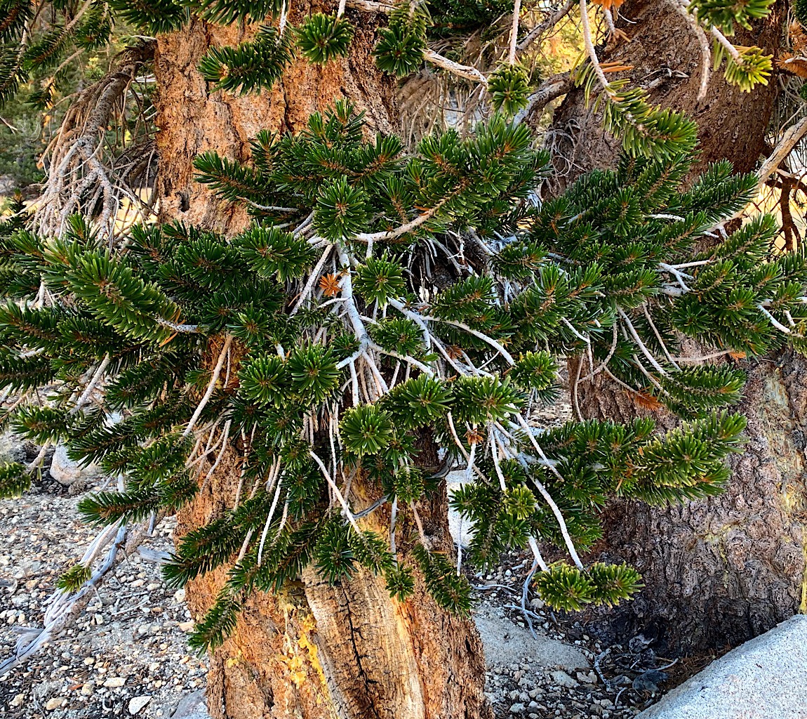
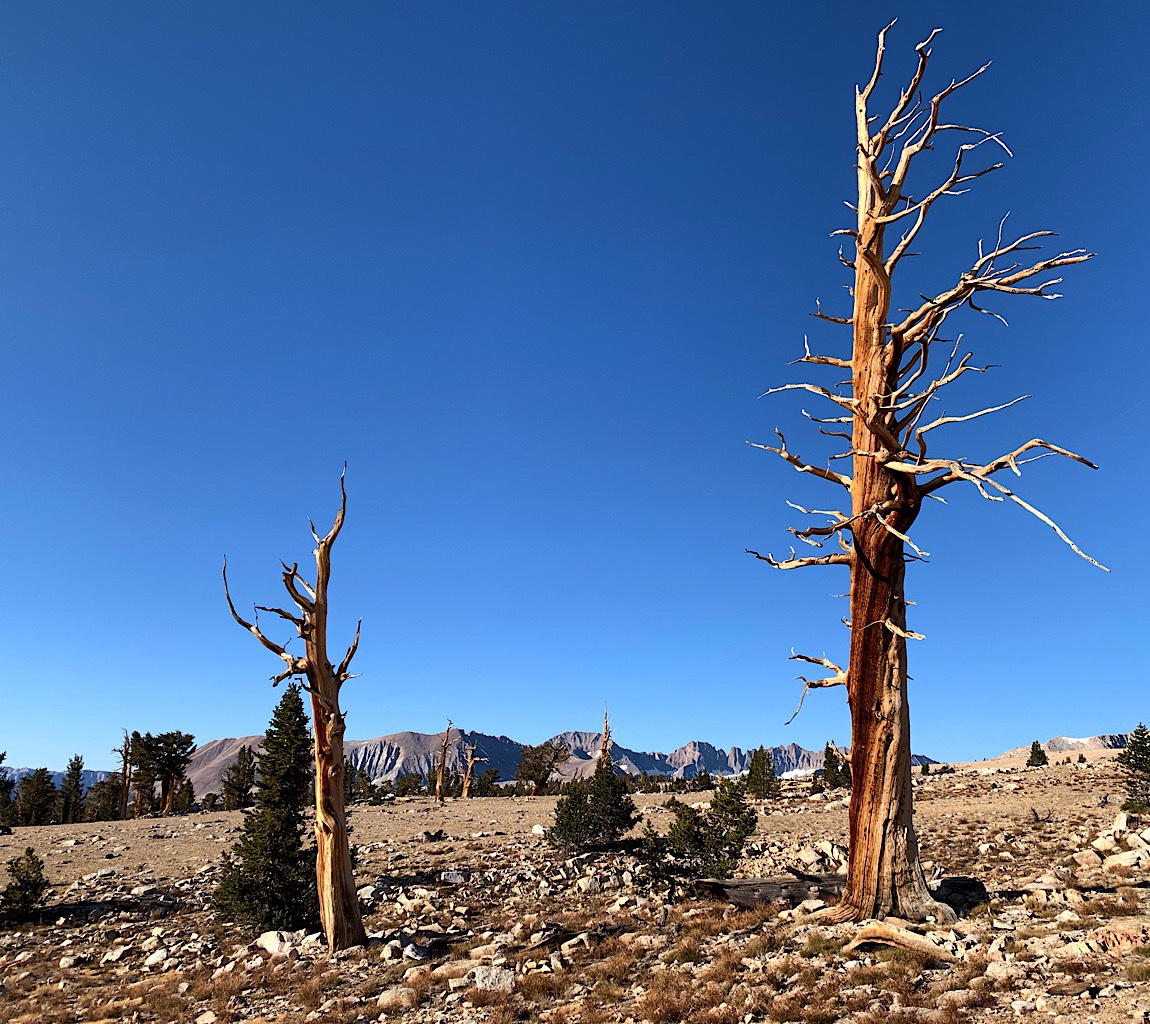
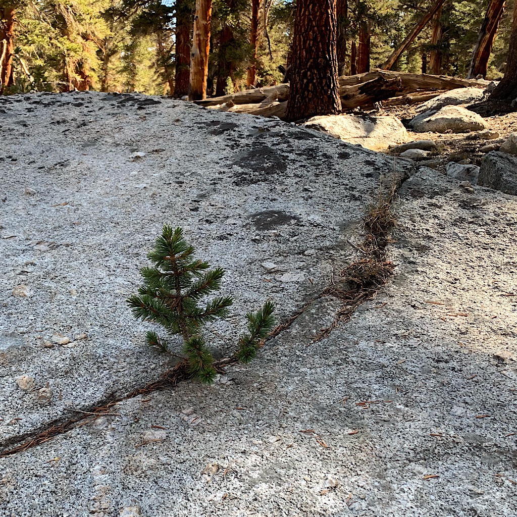
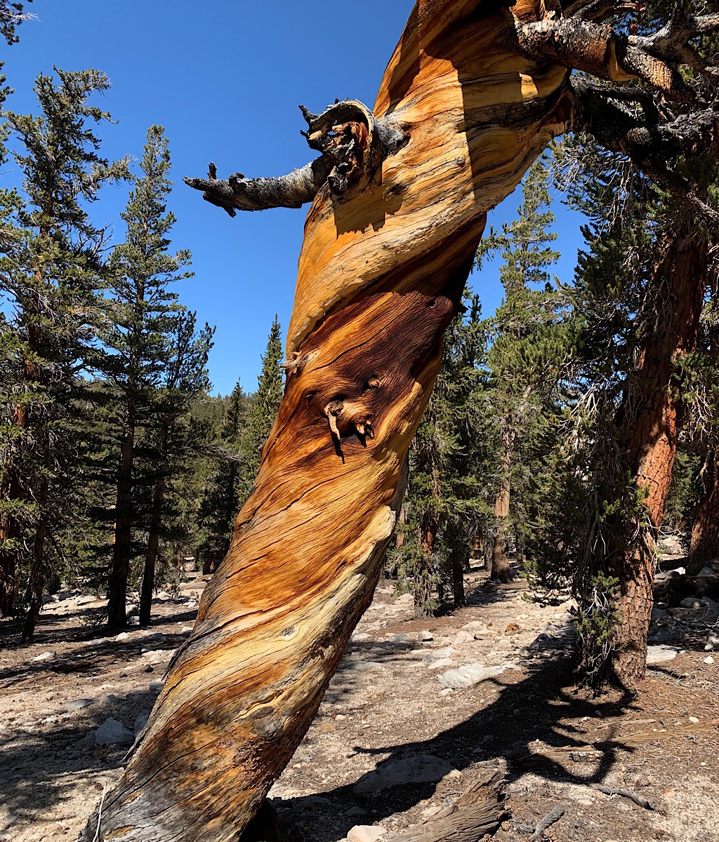
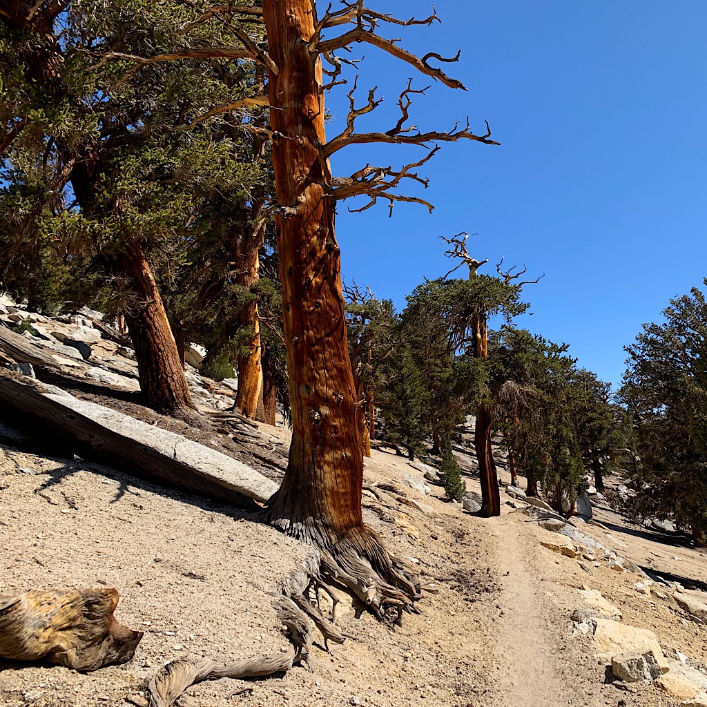
This blissful one has on her puffy and big mitts as she heads out for the final miles of the JMT. I walk through forest down towards the ranger cabin, then steeply up to the Bighorn Plateau, a huge, ghostly open area of faded grasses and one lake surrounded by mountains and inhabited by some of the most beautiful pine trees. These pines have huge, thick trunks covered with a jigsaw puzzle-like bark. The branches reach out with many fine strands where the soft needles attach many inches up, looking like a kind of bouquet of green pipe cleaners. The tree can survive an entire portion dying back, so you’ll see a green healthy side and a side where the bark is stripped revealing an orange, often beautifully twisted, but dead, wood. Even skeletal, the trees make a dramatic shape, appearing to dance with joy, one knee cocked. The logs on the ground reveal a stringy wood of parallel lines, curved and expressive. I love these magic trees and here is the first I see them in the Sierra.
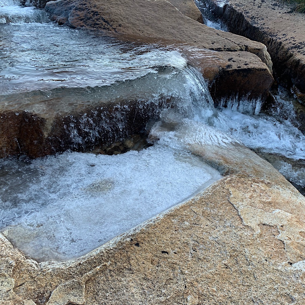
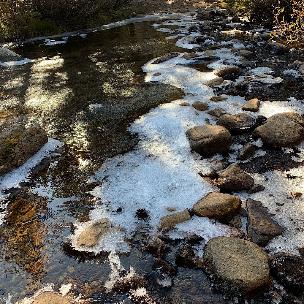
It’s completely silent but for a mountain chickadee and the warning peep of a ground squirrel. I take off my mitts and puffy in the sun and delight in the crunch of my shoes on this rocky sand. I am determined to take good care of myself by drinking more water. I don’t feel thirsty, but my energy fades walking here well over 11,000 feet and I know it’s lack of hydration. I carefully cross a stream on rocks covered in ice, then collect a liter which promptly gives me an ice cream headache. I do feel stronger today as I head steeply up through the forest now, remembering seven years ago when I lost so much weight, I held my shorts up with a large safety pin. The pants I wear now have an internal tightening system and it’s nearly as tight as they’ll go. I eat a lot of food, but I’m probably burning a lot more than I can replenish.
I meet three hikers with big backpacks. The lead exclaims how wonderful our day is. Indeed it is! Once the cold front came through, the skies have been clear with full sun. It’s still cold in the shade and when the wind picks up, but the days really sparkle. I think back to how I navigated the Sierra and I feel very good about my decisions. Sure, it would have been nice to be warm, but I had that when I walked the JMT. With it cold, I’ve moved much faster, but I’ve seen it all and savored my steps. Some hikers went into Bishop to resupply. I know if I’d left, it would be hard to return. Taking it all in one big bite really works for me.
Soon I reach the junction for Whitney and this time, I walk on by, heading steeply down to a meadow with a stream snaking through. I take some more water and finally do a little research on what’s ahead. It feels a little spooky to leave the JMT and most hikers as I continue in this cold. I feel a little nervous I can’t manage what’s ahead and then I discover I made a mistake thinking I’d be at or below 10,000 feet. I actually head right back up to 11,000 and stay there a while, in fact camping tonight could be a real problem with my timing and I might be exposed to the wind.
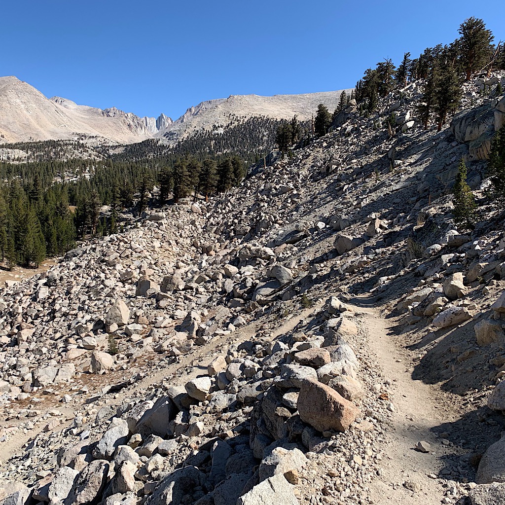
I feel so stupid just taking one hiker’s word and not looking it up myself. I go through a checklist – enough food, enough fuel, warm clothes. I’m ok whatever I decide, so it’s time to head into the unknown which starts with a big climb up rocky switchbacks. I can see the back side of Mount Whitney, pointy and domineering. The last time I was on top, weird fog was blowing up from the valley giving it a mystical and dramatic flair. A working crew closed the trail to everyone but thru-hikers, so just a handful of people enjoyed that wild and unforgettable moment.
Now, I walk in a very different landscape of rounded mountains, sandy trail and eerie, twisted pines. I feel lonely not seeing a soul as I walk up steeply, then along a flat area looking out to distant peaks. I go up even more and arrive at a pass that sends me right down the other side. It’s steep and hard going in the sinky sand, but horse droppings tell me this trail can be managed by bigger beasts than me. My view is of more rounded peaks, a few towers jutting up like ramparts.
I calculate my speed, the availability of water and where it’s safest to camp trying to plan the rest of this day. With it getting dark by 7:15 and the temperature dropping to freezing quickly thereafter, I like to find a camp spot by 5:00 so I can set up and eat without freezing my fingers. The ranger’s cabin is close but I’m not sure if she’s in to ask about conditions ahead. If only I could ask a hiker – and, lo and behold, here comes one!
 A lovely gentleman wearing green and carrying a green backpack graciously stops to help me figure out what to do. He tells me where he camped – high and exposed on a still night – but it’s a little too far. He says there are groves of trees, but I’ll need to carry water. I thank him and wish him happy trails then make my plan.
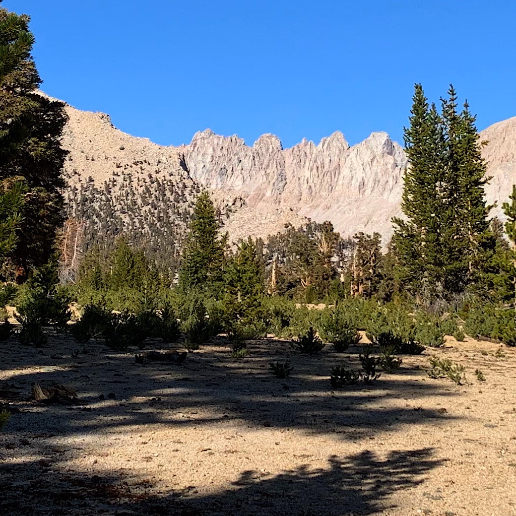
I cross Rock Creek on slippery and partially submerged rocks, but thankfully don’t fall in. It wouldn’t be a catastrophe, but I’d find frozen sneakers by morning. I start heading up and look for the final creek where I park myself in the sun to drink one more liter and purify two to carry. It’s a little over 1,000 feet in three miles and I feel great, totally hydrated and totally acclimatized. It’s a forest of my magic pines that leave enough space to see out to massive, rounded mountains, the same color as the sand I walk on, trees of orange matchstick-trunks, arms holding green pompoms march up the sides.
Up and up, but so different from the John Muir section of the Sierra, feeling softer and safer, less exposed like some of those massive passes with no turning back. The trail winds around, back and forth on zigzags so I’m never quite certain where things level off. Like Washington, I see blue sky and think it’s the top, but the trail turns and seeks another route that goes even higher.
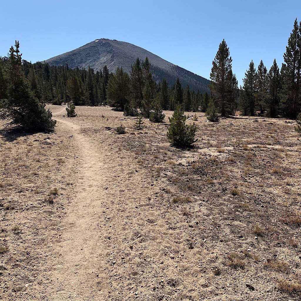
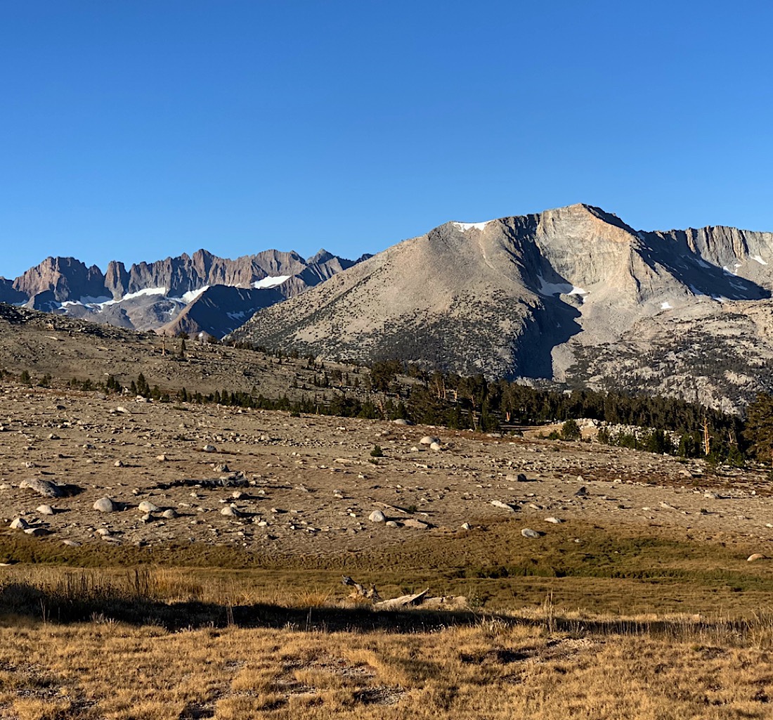
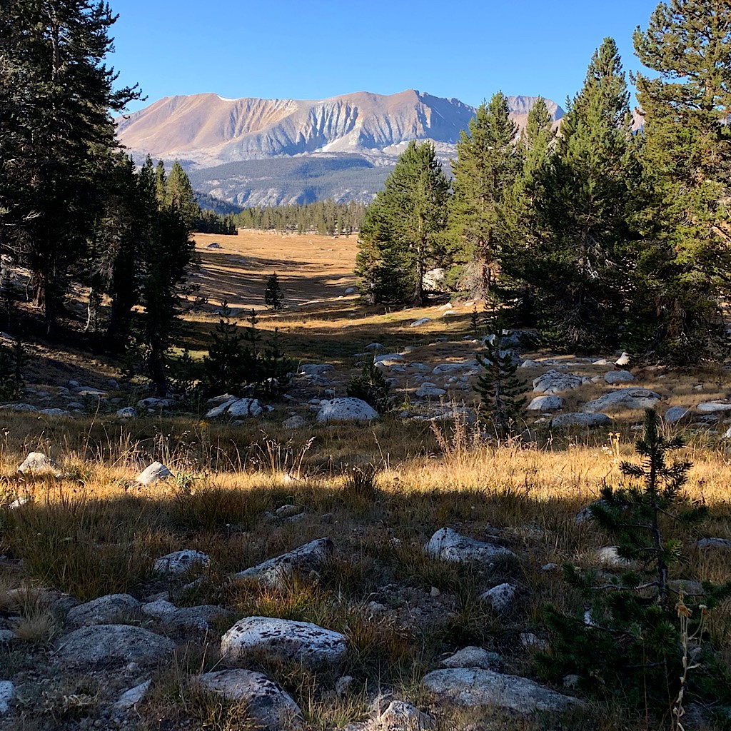
 I do finally break out to flat and can see rugged mountains to my left. There are supposed to be actual campsites up here, but it’s all fairly flat and I figure I can pitch anywhere, so I decide I’ll walk until 5:00. Some tasty views open up that would be lovely as the sun sets, but I know I’ll be tucked in right after dinner trying to stay warm, so I keep walking. I spy a cleared, flat space as the wind picks up, and also keep walking.
Then I begin ascending again and the terrain gets rockier. I reach a junction and the first PCT sign I’ve seen in weeks. It’s 5:00 and I’ve walked twenty miles. Ahead gets rockier and exposed, so I choose here, leaving the trail and walking down to a meadow. I find a flat spot under my favorite pines as the sun sets over the grass creating long shadows.
I’m amazed that a hiker appeared just when I needed him. He said, “A human!” when he saw me and I believe was happy to share information. I’m cuddled in with stars so bright, they create pine tree shadows on the alicoop. I am indeed still in the ‘High Sierra’ camping above 11,000 feet, but it feels like home to me and I am so grateful for everyone who helped me get here.


One Response
Amazing. Simply amazing.