Traverse of an Island
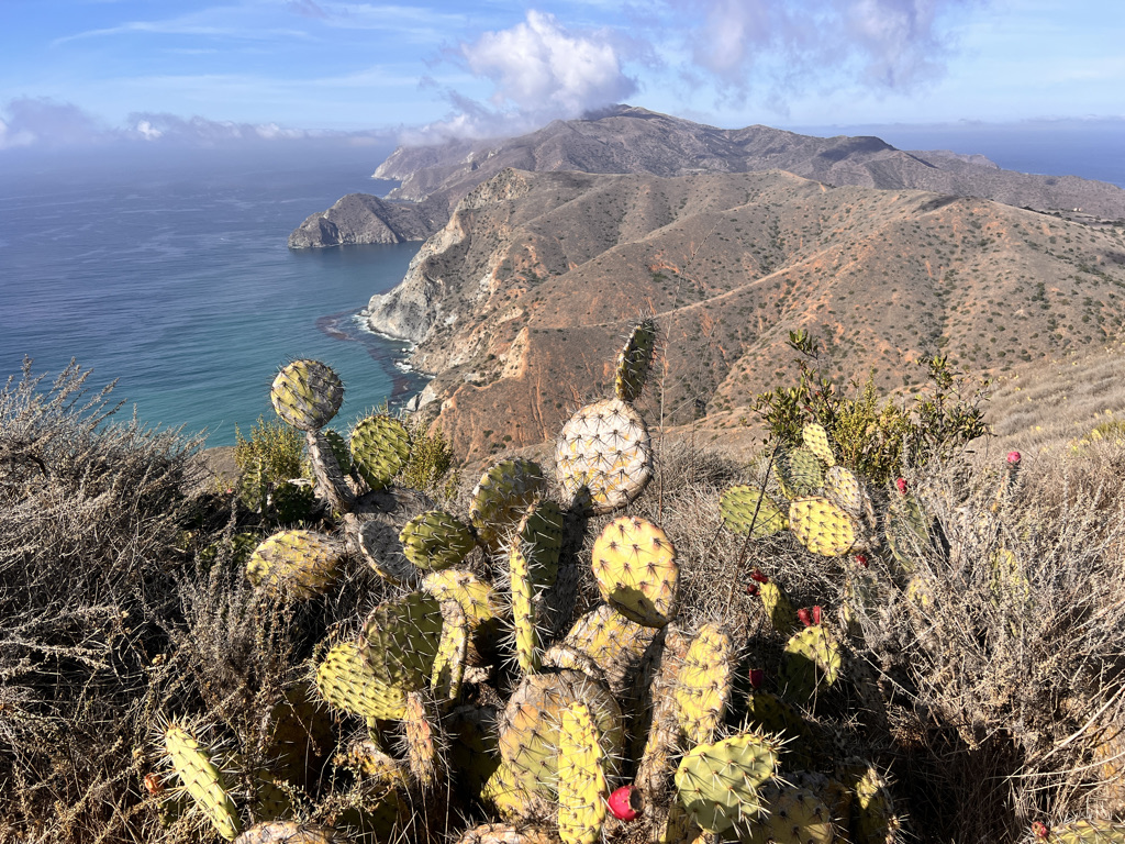
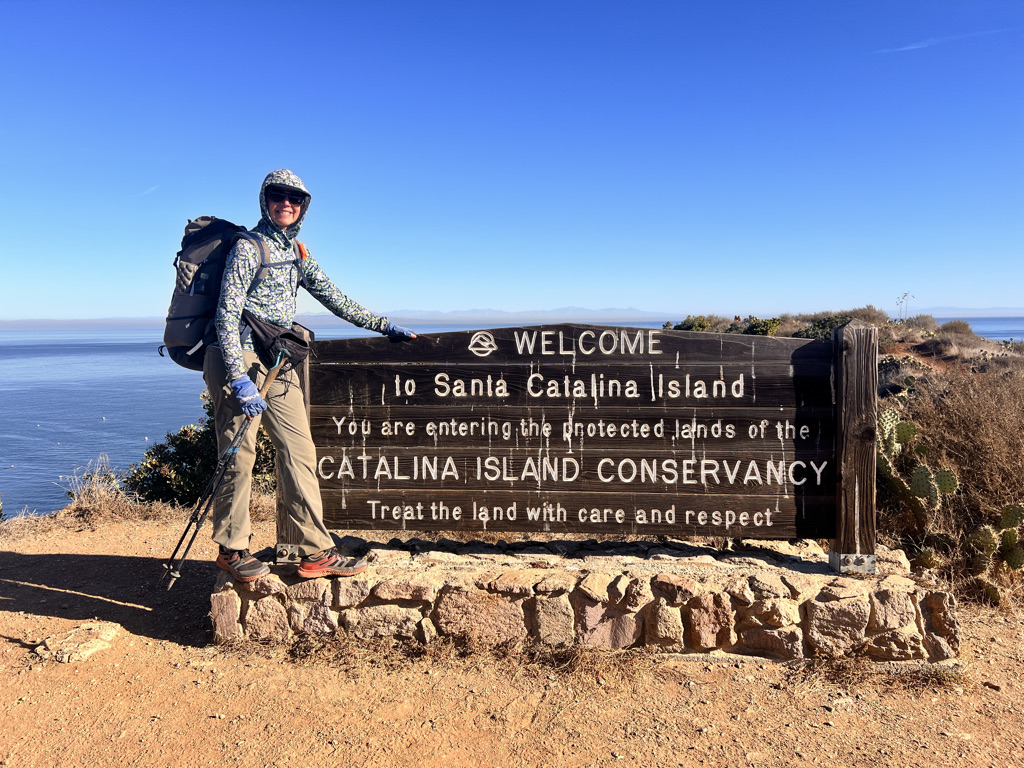
The Trans-Catalina Trail is a rugged 37.2 mile trail that traverses Santa Catalina Island, one of the Channel Islands off the coast of California. Mostly tackling the island’s interior, there are five primitive campsites (no wild camping allowed) including two on pristine beaches.
The trail was dedicated in 2009 and was initially a true end-to-end traverse beginning in the largest village of Avalon in the southeast corner.
But when hikers found it inconvenient finishing at remote Starlight Beach without water, accommodation or transportation, the trail was rerouted to loop back to Two Harbors at the island’s isthmus.
Short But Steep
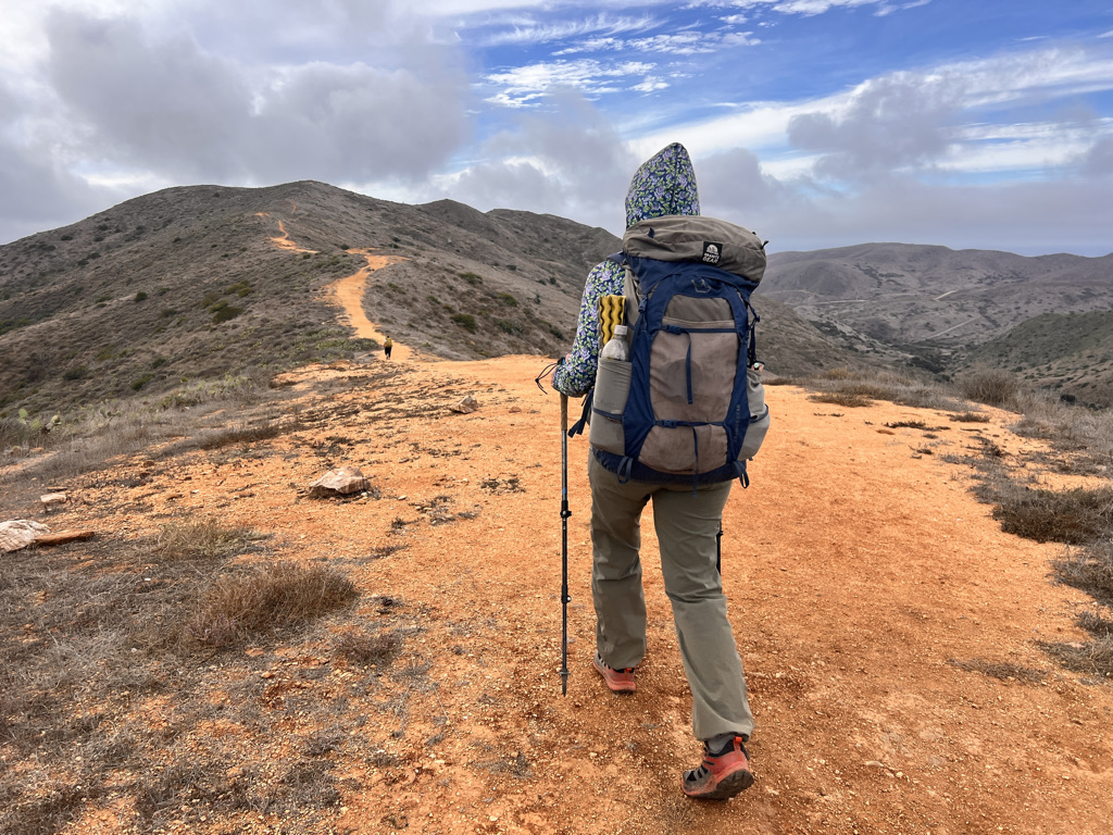
This is a very strenuous hike with nearly 9,000 feet of elevation gain. While much of the trail is actually on dirt roads, the gain is extreme, some of the steepest I have ever done without having to use my hands. It goes without saying that trekking poles are a must!
And the reason? The island is a mountain range! Catalina Island was formed by what is called “subduction” That’s when two tectonic plates crash together, uplifting and exposing volcanic igneous rock.
History, both man and beast
Humans have lived in this paradise of seals, otters, abalone, and kelp for over 8,000 years. The first people, the Tongva, were sophisticated traders, mostly of the island’s rare soapstone that they mined and transported up and down the California coast.
The rest of the history as you probably can guess is not entirely pleasant – colonizers, Jesuits, the gold rush, a naval base, a chewing gum magnate and even the movie industry all played a part in shaping Catalina.
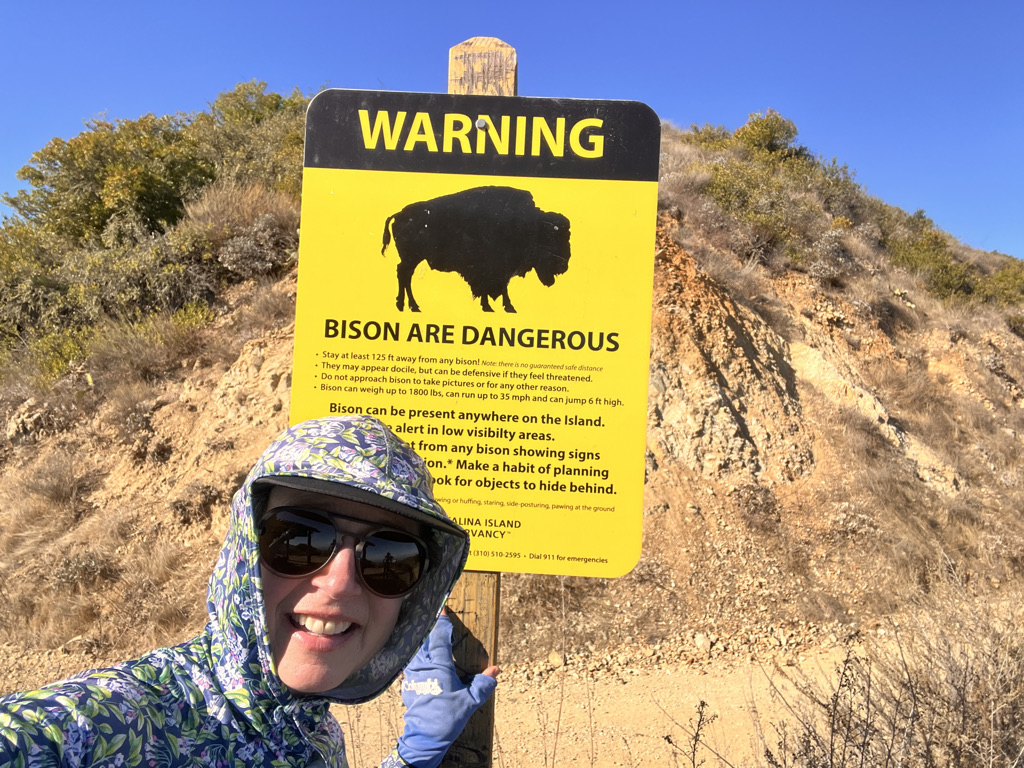
Bison were transported to the island for a film shoot 100 years ago, their population now controlled through a special bison-specific birth control.
That may be why I saw only one bison my whole hike!
Luxury hiking
Still, it was stunning in this unique environment with two villages and an airport for some good eating, ample running water at the campsites (except Parson’s where it has to be delivered) and a nice balance of comfort and adventure.
I walked with three women who did all of the planning (lucky me!) We hiked in early January at a fairly leisurely pace for 4 1/2 days, giving ourselves plenty of time to enjoy the sunshine and our lovely campsites since it got dark by 6:00 pm.
Temperatures ranged from the upper 30’s to the mid 80’s. We had one cloudy day but did not get rain, although it was very damp overnight at one of the beach campsites.
Luckily, we were off the island and out of Los Angeles before the dangerous winds picked up and started numerous catastrophic fires all over Los Angeles.
As of this writing, Catalina Island has been spared.
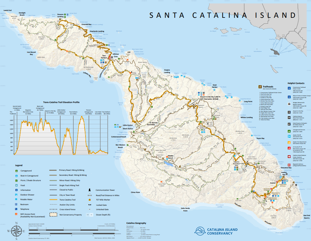
Day One: Avalon to Black Jack Campground, 10.7 miles
We’re up three minutes to 4, before the alarm goes off.
Each one of us.
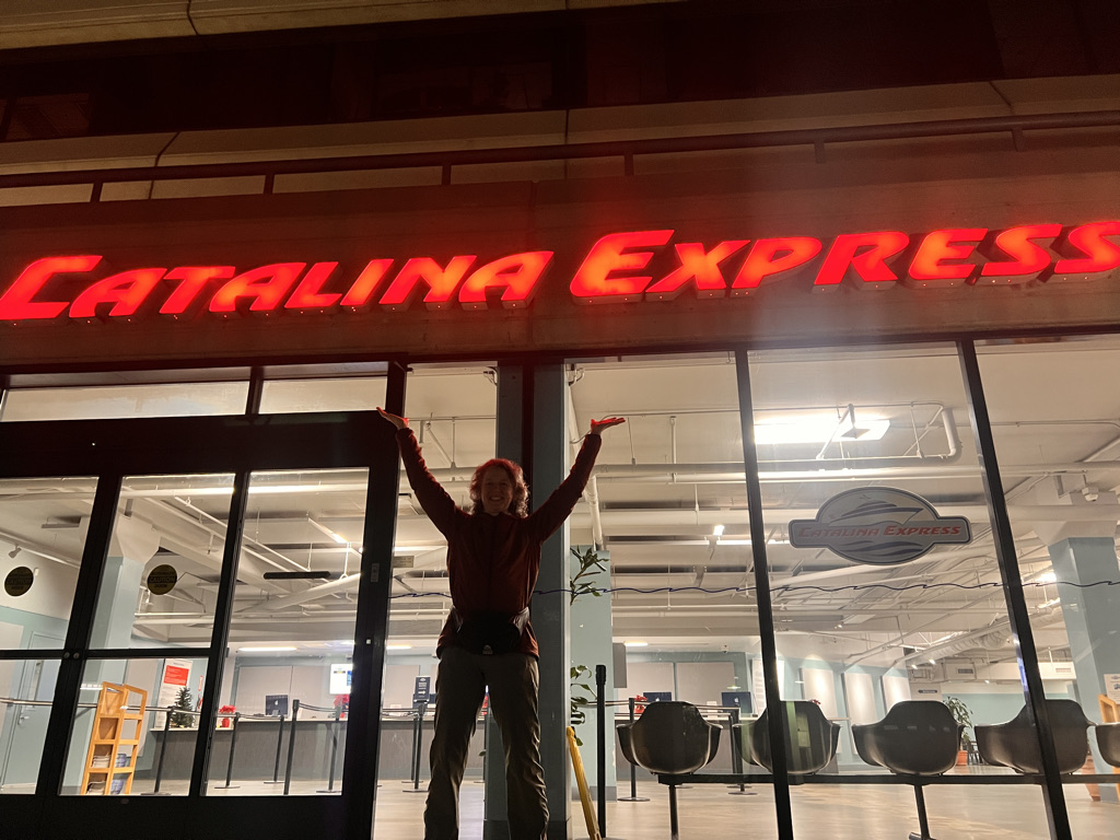
It’s a good sign that we’re on the same wavelength. All business we repack our bags and layer up for a one hour ferry ride to Catalina.
Pitch dark, anticipatory. Other backpackers slump over their gear in the waiting room and we file onto the boat silently.
It’s mostly calm, the windows fogged with dew. Jen paints a picture of the Hollywood sign and Griffith Observatory with its sweeping view. I write for a bit, then wander to the decks outside.
It’s chilly but not too windy and the sun begins to lighten the sky, a light sherbet yellow on a black sea. I spy large jellyfish and a contractor happily points out dolphins zipping alongside.
As the island comes into view, I survey the mountains. We’ll have 3,100 feet of elevation gain today (and lose 1,600 of that. That’s not to the top. It’s to the top over and over and over.
But our start is leisurely and unlike most hikes I’ve taken, beginning in the charming village of Avalon eating a monster breakfast of eggs, beans and toast.
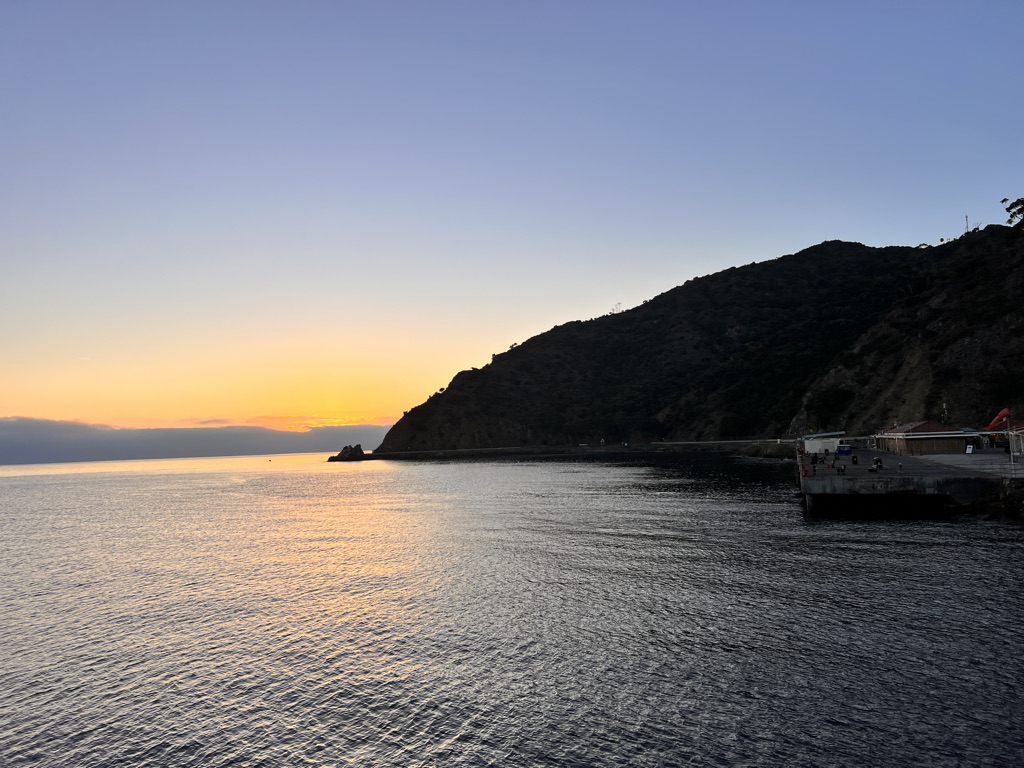
The start continues through town past the golf course and bird park (private with absolutely no trespassing allowed) mostly on pavement.
I take my time as we slowly head up to Herman Gulch Campground. I’m trying to train myself to breathe through my nose on the uphills.
I developed a hacking cough in the Pyrenees I believe from too much mouth breathing. The nose offers a better filter for the lungs from germs and impurities, but it also calms me and I float up the hill.
We rise quickly looking out to a foggy sea and tiny Avalon below. Jess panics momentarily, frightened she can’t handle what’s ahead.
I suggest we stop in the shade and just take our time. We get Jess going as the trail gets steeper and steeper.
It’s so dry here. Mostly oak, scrub and prickly pear. The trail is dusty and I keep breathing through my nose as we ascend higher and higher, mostly on switchbacks.
Day one is usually murder with food heavy packs and legs unused to walking all day. But eventually we reach an overlook where a pergola offers shade. Just two miles from town, but an intense two miles.
I’m also getting religious about stretching my calves and quads. The podiatrist told me we overload our feet if our calves are tight, so we need to keep them stretched out.
A young boy arrives looking harried. He calls someone from his watch yelling he needs to take a shit. When I inform him the outhouse is just ahead and ask if he needs paper, he looks embarrassed and slunks away.
Next is a rolling ridge with views all around. The ocean is not visible under a thick blanket of clouds like rolled cotton.
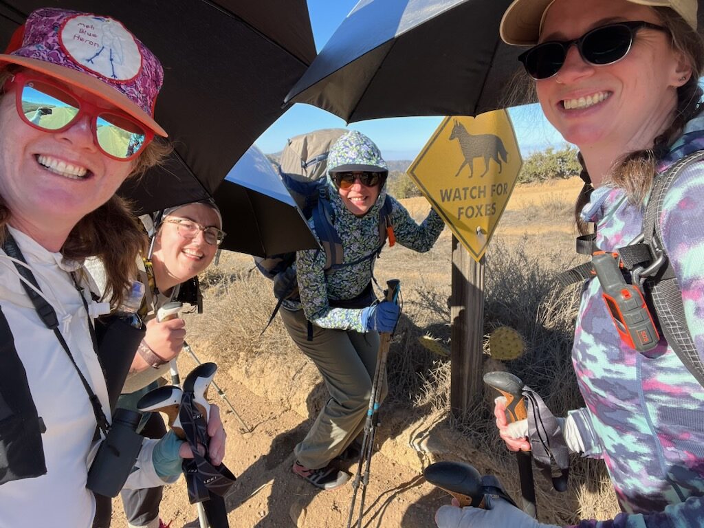
All three girls pull out silver umbrellas. I could use one, but our backs are mostly to the sun. It’s a few more miles to Laura Stein Volunteer Camp.
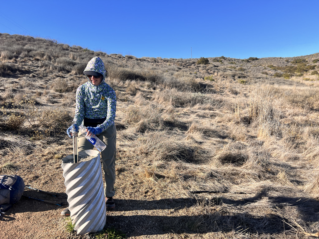
Low circular picnic tables and a playground nestle next to a retention pond. We find shade and eat a lunch feast. We don’t have to filter water though since the park has a water spigot.
The water is cold and tasty and I guzzle it down with my jerky, salmon and banana chips – oh, and also some almond butter and dried apples with cinnamon.
The air is delicious in the shade and we relax for an hour at least before packing up, a little concerned about two big climbs with descents ahead.
We’ll work our way to the airport where there’s another chance to have a sit down meal in a restaurant.
But that airport is far – and way up in the air. There is indeed a lot of up and down, steep on ball bearing stones.
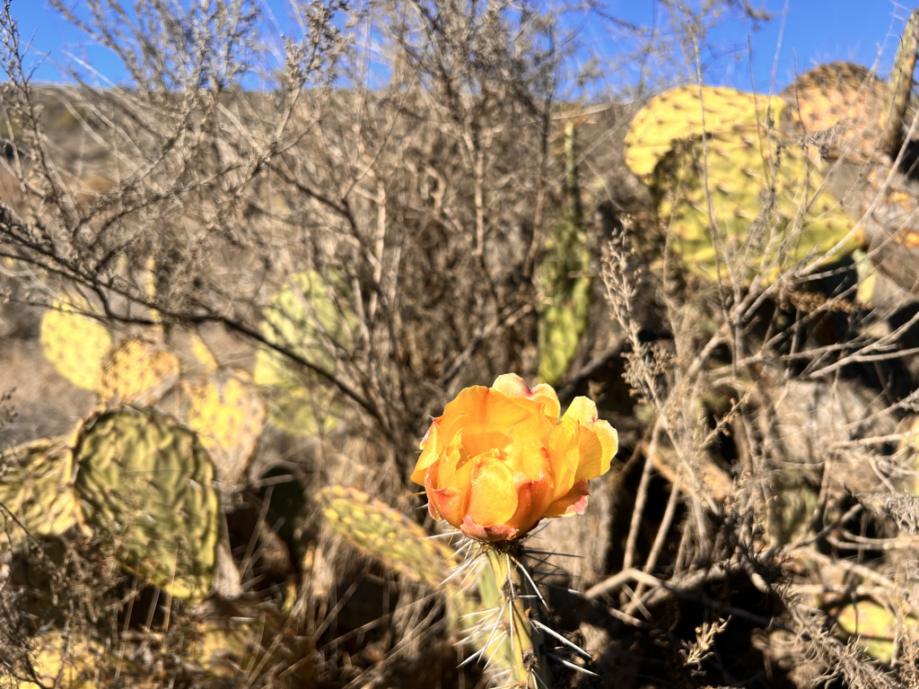
I spy one cactus bloom and an Island Fox, plus Hermit Thrushes in their winter habitat. The fog creeps up into the hills, but we’re at least a thousand feet above it.
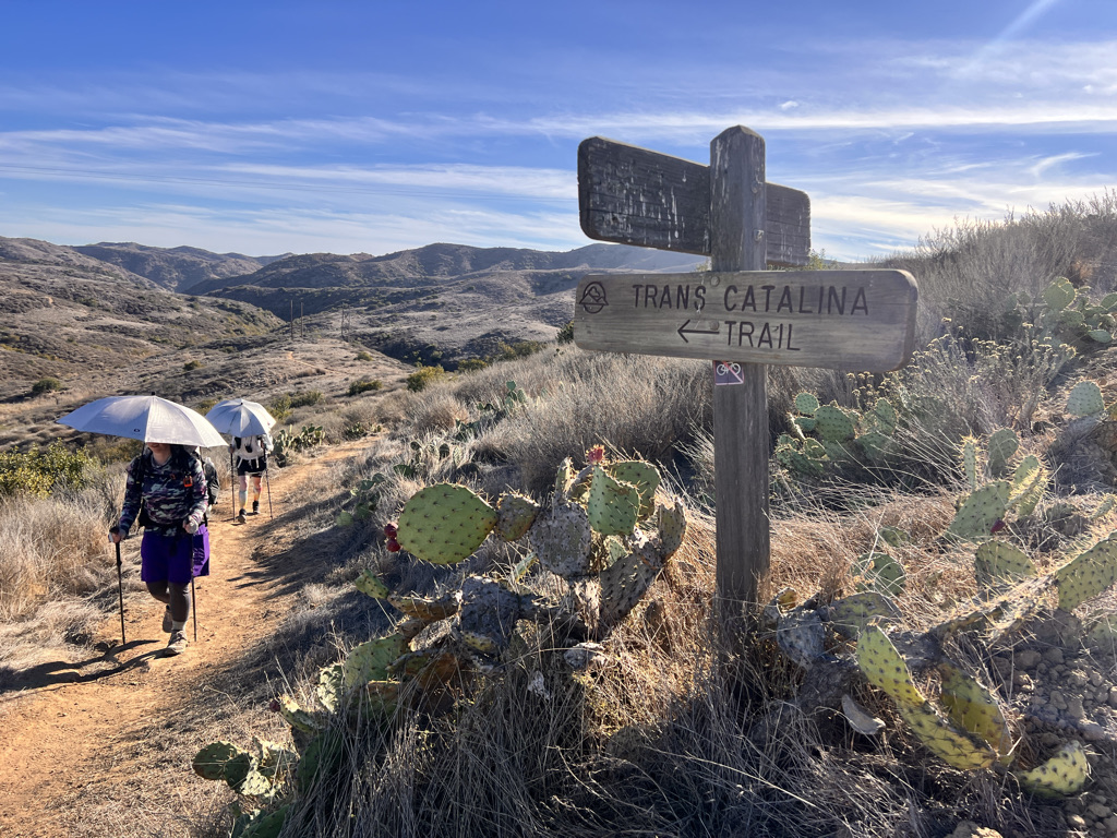
I move steadily my breathing starting to feel natural. The hills, mountains really, are steep and the day is waning. I begin to pick up speed. I see them approaching far behind and I wait briefly, but then decide I should get to camp before dark, drop my pack and walk back to offer a hand.
It’s lovely a wild here. Cars passed us earlier offering tours, but now we’re deep inside canyons and it gets quiet. Only the power lines suggest people live here.
The last bit today on tired legs is indeed steep, winding around an antennae-covered Black Jack Mountain. The hills look velvety in the waning light, casting long shadows against each hump.
I spy the bathrooms and know I’m close. In a few moments, I drop my back with a hiker named Candace, to keep it safe from foxes, the head back down.
It’s probably only 1/2 mile before I meet them. Jess is delighted to take off her pack and we do a delicate dance on a particularly steep bit of mountain.
Our site is just right looking back on those soft hills as it begins to go dark. We set quickly and down our dinner at a picnic table. Every site is reserved but comes with a water spigot and garbage.
By 6:08, I’m cuddled in. A crescent moon looks down and the crickets begin their chorus. An island fox makes a sneezey bark as our neighbor slams shut the food locker.
A perfect day. A beautiful, hot, hard day in a unique place, a dot of an island in the Pacific Ocean.
Day Two: Black Jack Campground to Little Harbor, 8.2 miles
The day begins before it’s light.
Wandering Pine bangs open the bear box, of which I’m sleeping next to, telling me she’s been up since 4.
Go figure after two days of needing to wake up at 4.
At least it’s a beautiful sunrise.
We know we’ll get breakfast at the Airport in the Sky, 1,000 feet in two miles from here, but we all still eat at our cozy picnic table and leave in full sun.
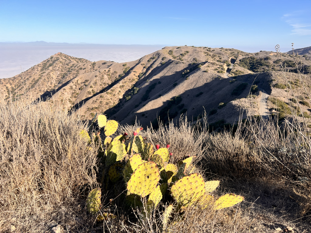
Fortunately, the clouds move in creating dramatic skies and cooler temperatures. The views are astounding of the island falling off into fog, pointy mountains poking through like a dragon’s spine.
The airport looms above, a dramatic manmade runway on top of what was two mountains until it was filled in by 200,000 truckloads of rock and dirt.
On our way, I spot our first bison. Solitary and happily a hundred yards or so away.
A short spur leads to a restaurant and the second tourist trap in two days. Ironically, bison is on the menu and I order a burger. Did all that climbing justify it? Who cares!
We see other hikers we camped with last night, one of the charms of this trail that every camp spot must be reserved and no wild camping is allowed. Numbers are controlled this way, keeping impact to a minimum.
Still, white blooms of TP line the trail. I can’t imagine how people think that’s ok to leave covered with a smear of poop. Easy enough to pack out with your garbage, especially since garbage cans are at every campsite.
Imagine that! You don’t even have to carry your garbage through the hike. Luxury!
Most of the profile will be down today as we head for Little Harbor, but the trail rolls up and down, along ridges and through watersheds.
Beneath the airport are several pools part of The Buffalo Reservoirs. They team with life – a squeaky sandpiper, several coots, a pair of wood ducks and swooping swallows – plus on persistent egret, holding his head retracted before springing it on an unsuspecting fish.
Yellow rumped warblers watch all of this from their perch on electrical wires. No mammals are here now, but footprints abound from foxes, deer and bison.
I’m mesmerized.
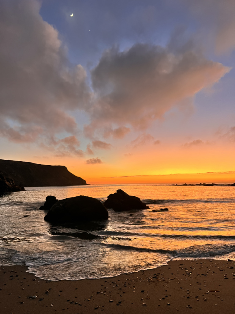
But it’s time to head up again with views to a snowcapped Big Bear. The ocean is impossibly far below, the fog rolling in.
We meet other hikers going the opposite direction, plus new friends going our direction as we climb a narrow strip of land, startling a large group of ravens. (I don’t know the proper name for their group, I’m sorry!)
They cackle and complain, lifting into the wind and settling a few feet further on. A young boy hiking with a big pack passes saying, “It’s beautiful up here!” like a grownup.
The trail works its way down gradually to Little Harbor. We initially had reserved at Shark Harbor Campground, but the word is the little flies from the kelp swarm in the evening.
This area faces west, so we will most certainly be out in the evening watching the sunset. Andrea quickly changed our reservation to Little Harbor.
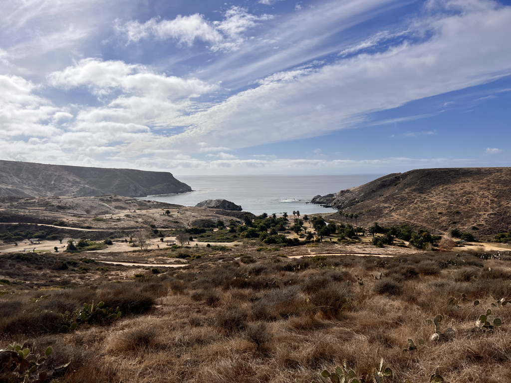
I see it from high above, a grassy area filled with fat palm trees. Our site is enormous with four picnic tables under a shady pergola.
It’s only a little over eight miles, but we’re ready to stop and enjoy the beach.
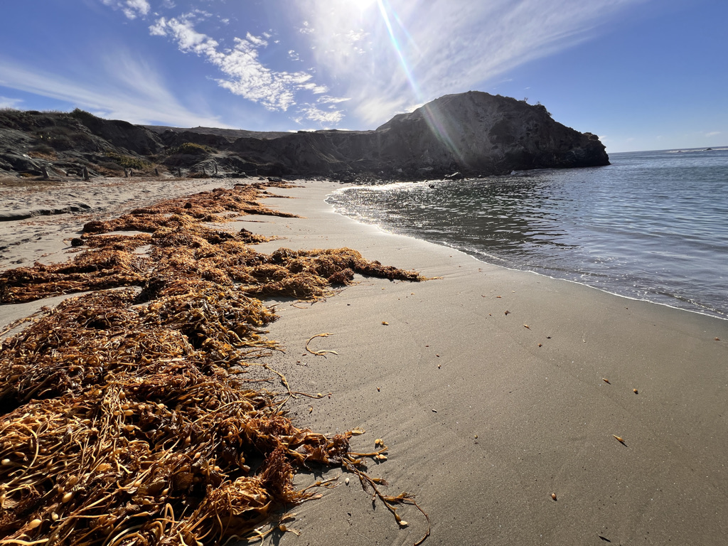
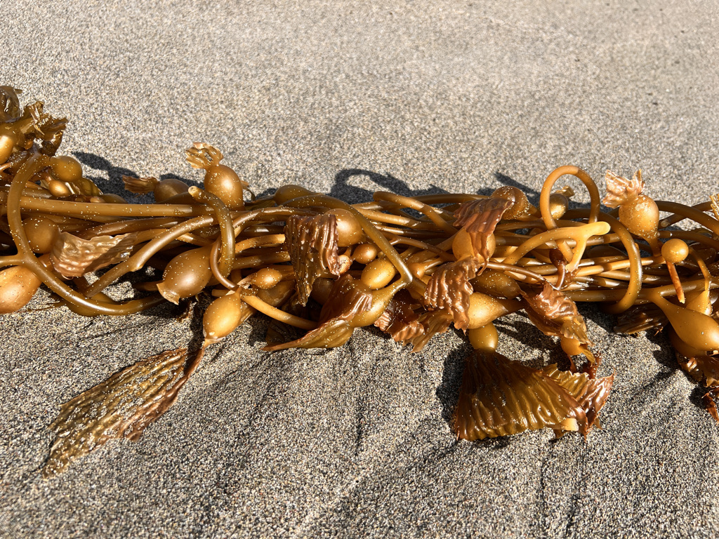
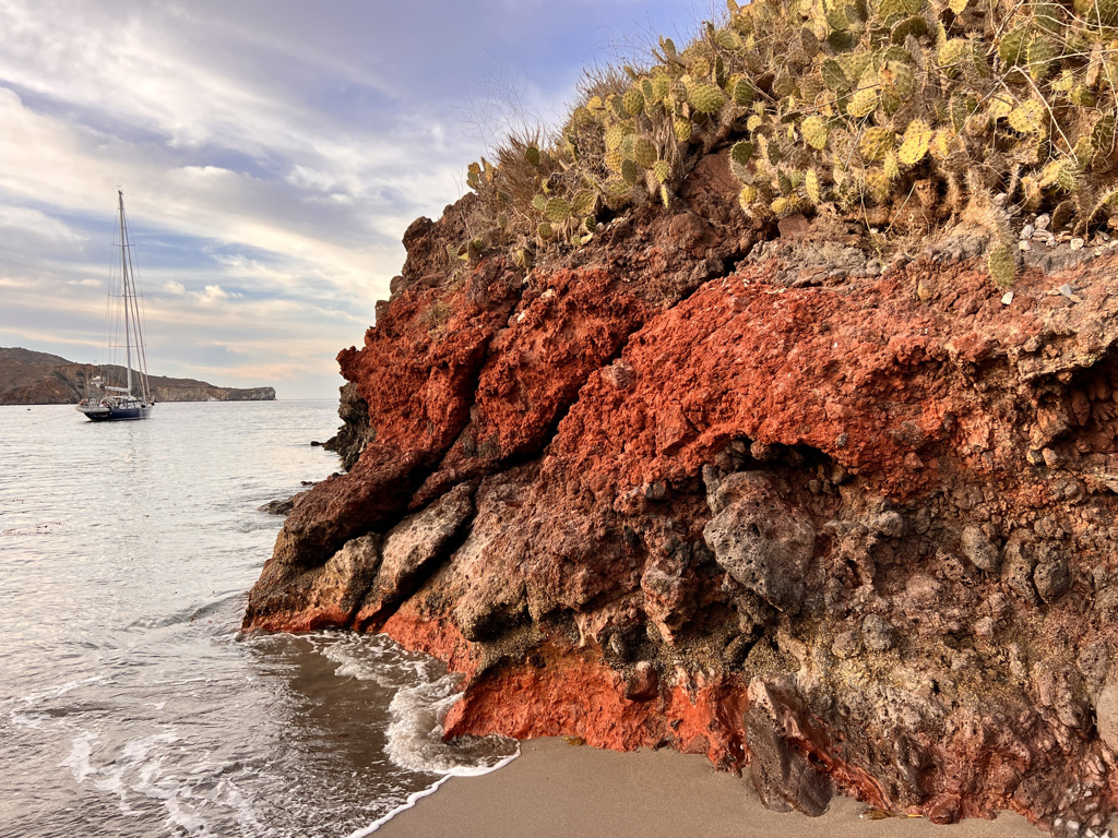
I won’t say I swim in the icy Pacific, but I let the surf splash to my knees while skipping stones and collecting a few agates. The air is sweet and the bugs stay close to the seaweed.
All four of us eventually park ourselves in front of a group of rocks to watch the sun set. It goes quick in deep shades of red, orange and purple.
Tonight is the last night of Andrea’s 30’s (she planned this trip to celebrate) I watch the sun as it shrinks from an orb to a pancake and finally a dot on the horizon.
And just like that, it turns green before disappearing.
The green flash! I saw it! We take many pictures and one by one each leaves. A crescent moon peaks out from low clouds and a star – Venus? – crystal bright.
I stay until no orange is left and the fog rolls in, then crawl into my tent as my headlamp catches a fox scampering away, his eyes glowing red in my beam.
OK, everything is going in the tent tonight.
Day Three: Little Harbor to Two Harbors, 5.4 miles (plus 2)
My tent is soaked.
My sleeping bag is soaked.
I’m cuddled in wearing all my clothes and sleep deeply, the waves a lullaby.
We’re up with the sun, but Jess feels sick, so we take our time eating and enjoying this beautiful palm-tree shaded campground as one after another hiker leaves.
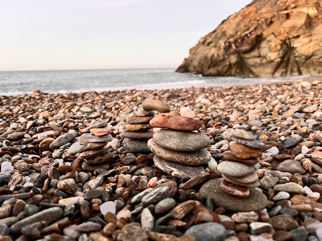
It’s Andrea’s birthday and Jen brings her a crown. I quickly make a “40!” with stones and she beams when she joins us at the picnic table.
Leaving late gives me time to dry my gear in the sun – and for Andrea to share a ritual she practiced during the twelve days of Christmas.
She writes out thirteen wishes/goals for herself all in present tense as if they’re happening.
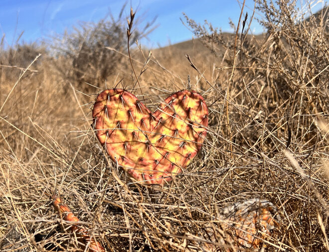
Over the 12 days, she chooses one blindly and burns it, allowing the ‘universe” to take care of it. The one that remains is the one she will need to work on for herself.
I decide to use her birthday as my starting point of 12 days and plan to write my goals/wishes at today’s highest point.
Jess wants to call someone to pick her up, but it will cost over $300. So she gathers up her strength and mental reserves, and begins the ascent.
It’s a long, beautiful, winding climb up above Little Harbor, then along a high ridge with absolutely astounding views down the last craggy bits of island.
Even from 1,000+ feet in the air, the waves are audible. Kelp beds float in gelatinous masses above turquoise depths. The wind keeps me cool as I climb in full sun, still practicing my nose breathing as I rise.
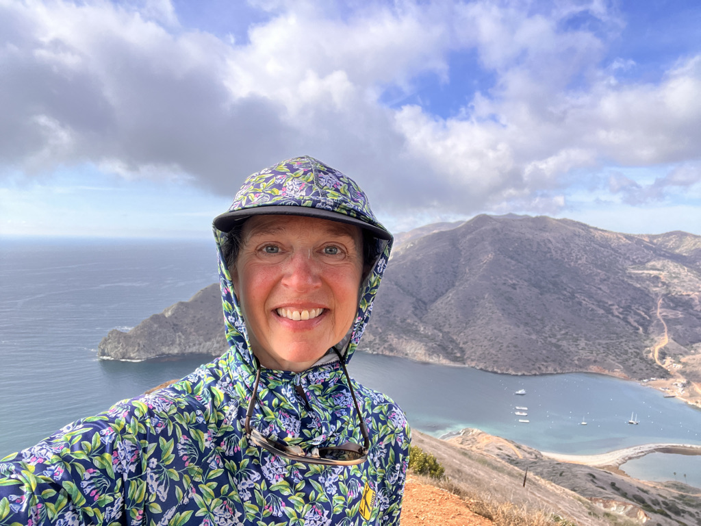
About halfway on this short day of only five miles and change, is a picnic table and pergola. I stop here to rest, eat, soak in the views and write up my thirteen goals/wishes.
Jess – who I past at the steepest bit – arrives and continues, seemingly undaunted by the exertion, though a bit overwhelmed when climbing a narrow ridge.
I share some jerky with Jen as she passes through. But Andrea wants to hike alone on this big day, so I clear out to let her enjoy the space.
Now it’s just down and down to Two Harbors. Not terribly steep, but enough to really work the quads. I meet a couple of hikers starting out and a man who tells me he’s recovering from surgery so taking it easy.
Talking to him slows me enough to notice a spur up to Catalina Harbor Overlook. I pause briefly to consider, then think to myself, “When the heck am I ever going to be here again? It’s still early, let’s go!”
Much of the time, the trail is really these steep dirt roads that, at least at this time of year, are abandoned. It may be a road, but that doesn’t mean it’s at any easy grade.
The first part is very steep, then rolls down before going up again. We’re talking steep enough to slip on loose stones.
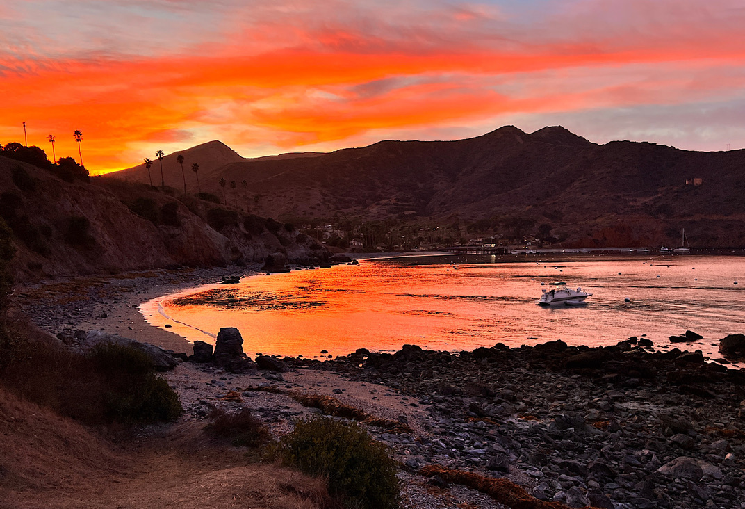
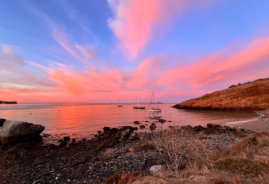
I see another covered picnic table far off at the bitter end and decide I’ll do the whole thing. The views open up to the two bays at the isthmus –Catalina and Two Harbors – plus a view back to the steep cliffs where we walked on top.
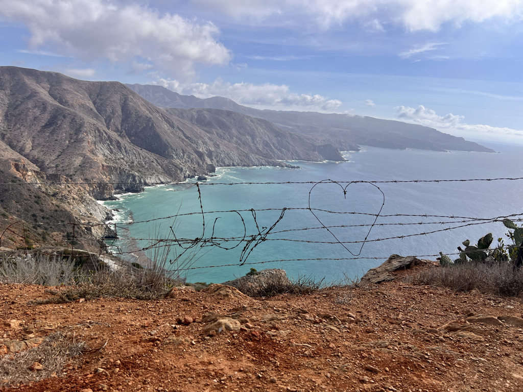
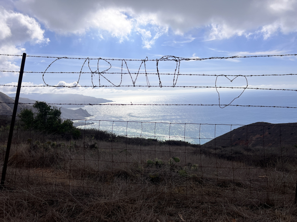
I follow a barbed-wire fence to my left. Is it to keep people (or cars) from tumbling off? Maybe just an illusion. Along it, people have fashioned pieces of barbed wire into shapes and words like No Daddy, Kiwi (with a nicely shaped scrotum) Mon 🖤, Carma (getting at least the sound right) and my favorite Beach Access with an arrow pointing directly at the cliff’s edge.
The cliff is pretty cliff-ey and I stay at a safe distance to snap photos so glad I took the spur. I pass all the barbed wire graffiti and head steeply down to the little village of Two Harbors.
There are restaurants and some stores, but I had my fill yesterday at the airport, so head back down the beach in the opposite direction to a large campground carved into the hillside.
My tent fits just inches from this cliff’s edge so I make careful notes should I need to heed nature’s call in the middld of the night.
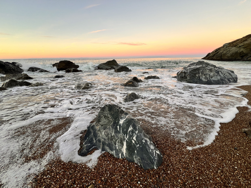
I wander along the beach, stretch and watch a glorious sunset – all glow since we are facing north.
A group of very loud cyclists are camped just behind us. They put on music and one asks if it’s is ok. “Of course! Quiet hours aren’t until 10.”
Good Lord.
So I write this as they yammer on, yelling to someone standing a half inch away. Good thing I brought ear plugs.
It’s a big day tomorrow with 2,000 feet ascent and 2,000 descent. The profile looks like a tower. The weather looks good and hopefully the bikers are headed somewhere else.
Day Four: Two Harbors to Parson’s Landing, 6.6 miles (plus 3)
Mercifully, the bikers quiet down even before quiet hours.
The city lights up the sky for most of the night and a sea lion barks, but it’s mellow here as we make breakfast and figure out the final days’ rations.
I take off alone, enjoying the solitude through the tiny village and around Catalina Bay before the dirt road I’m following heads straight up the mountain.
I’m sure a 4×4 can handle this, but the grade is merciless, much like what I walked in the Pyrenees. It’s only 2,000 feet over four miles, but a workout – and in full sun.
Fortunately, we’re headed west, so the sun is at our back. I continue to breathe through my nose which slows my pace. Still, I rise fast above Two Harbors and the isthmus, then looking back at our cliffs from yesterday shrouded in a delicate sea fog.
I reach more of a ridge where the ocean is revealed on both sides – Los Angeles and the San Gabriel Mountains to my right and San Clemente Island and the vast expanse of ocean to my left.
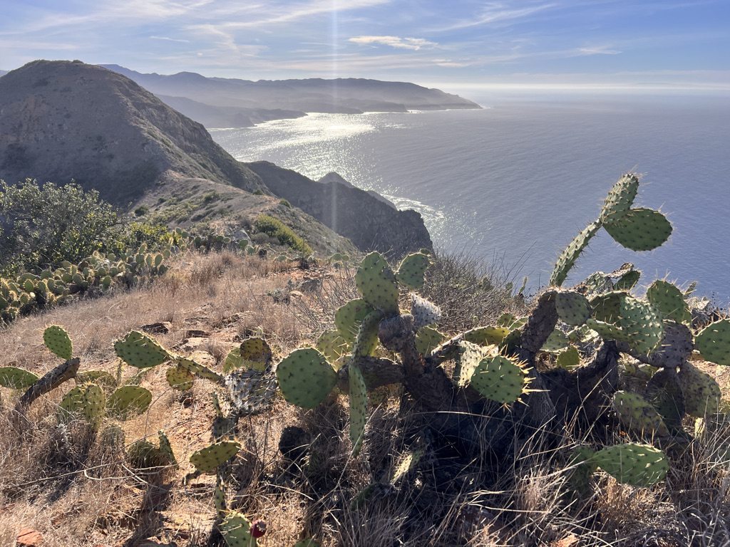
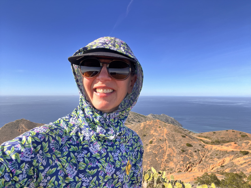
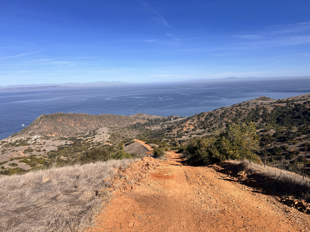
The ranger mentions the Lobster Bay Overlook, a half mile walk to the edge of a cliff, 2,000 feet down to roiling azure sea.
I walk a bit beyond, but take off my backpack when the trail narrows. I imagine people climb the spine of Mount Torquemada, but I’m getting a good enough view right here.
I head back when I get my fill, meeting the road again and a roller coaster of ups and downs. The sun is warm, but a cool breeze keeps me comfortable.
I’m told if a rainstorm moves in, they close the trail. I imagine torrential rain makes the trail a river and it’s dangerous. We really lucked out on the weather – clear, warm, lovely.
Eventually I’ve walked all of the climb and ridge and reach a junction with a covered picnic table. I make some cheese sandwiches and drink the rest of my water.
I’ve also heard this two-mile descent is extremely steep, so I want to pause before I batter my knees.
But in looking at the map, I see the highest bump in these mountains is right in front of me, probably just one more mile of roller coaster to touch Silver Peak at 1,804 feet.
Like yesterday’s detour, I just gotta do it. When will I ever come here again? I’m 60 and have a long list of hikes I want to do before the show is over. So let’s do this thing while I’m still upright!
I take off my pack and stash it on the table, hoping that deters a fox and maybe at least delays any ravens, and I’m off, free and light now.
It’s not all up, but like yesterday, a roller coaster of ling-busting then knee-busting steepness. But the whole way, I have to peak in view and it doesn’t take long to reach the small bit of trail straight up its side.
The top doesn’t seem all that much higher than where we’ve been, but from here, there are no more peaks as the island steps down to a point aptly called ‘Land’s End.’
There’s even a summit box with some paper and a few pens and I sign Blissful and date it, hanging about to (again) soak in this unique experience high on a mountain straight out of the ocean.
When I return, ravens are checking out my bag but have yet to figure out where my food is stashed.
The descent is precisely as described, “You will want to use trekking poles and if not, will wish you had.”
The first hill is invisible, seemingly dropping off into nothingness until I reach the edge, looking down as if on a roller coaster.
Lucky for me, the dirt is loose so my feet find purchase, sliding slightly but not on loose stones. What I am saying is, I don’t fall! But concentration is required and a bit of side-stepping.
It’s not long before I reach beautiful Parson’s Landing. There’s no ranger and no drinking water. You have to order it to be delivered to lockers – and not forget to get the combination when you check in back at Two Harbors.
Still, there’s a decent pit toilet and animal-proof garbage cans. We have a cord of wood plus fire starter in the locker as well, to be burned in a fire ring next to a picnic table.
There’s no shade at all, but the day is waning and the beach is cool. I set my tent in a sliver of cliff shadow right on sand, then explore the rocky beach, mostly flat stones begging to be skipped as the surf sends them flying.
Two dolphins feed just off shore as a squadron of Brown Pelican soar past in formation. The sunset is far less dramatic, but with only eight sites, it’s mellow and relaxing here. Even the mainland and its jumble of lights is further in the distance and the sky fills with stars as the surf lulls me to sleep.
Day Five: Parson’s Landing to Two Harbors, 7.7 miles
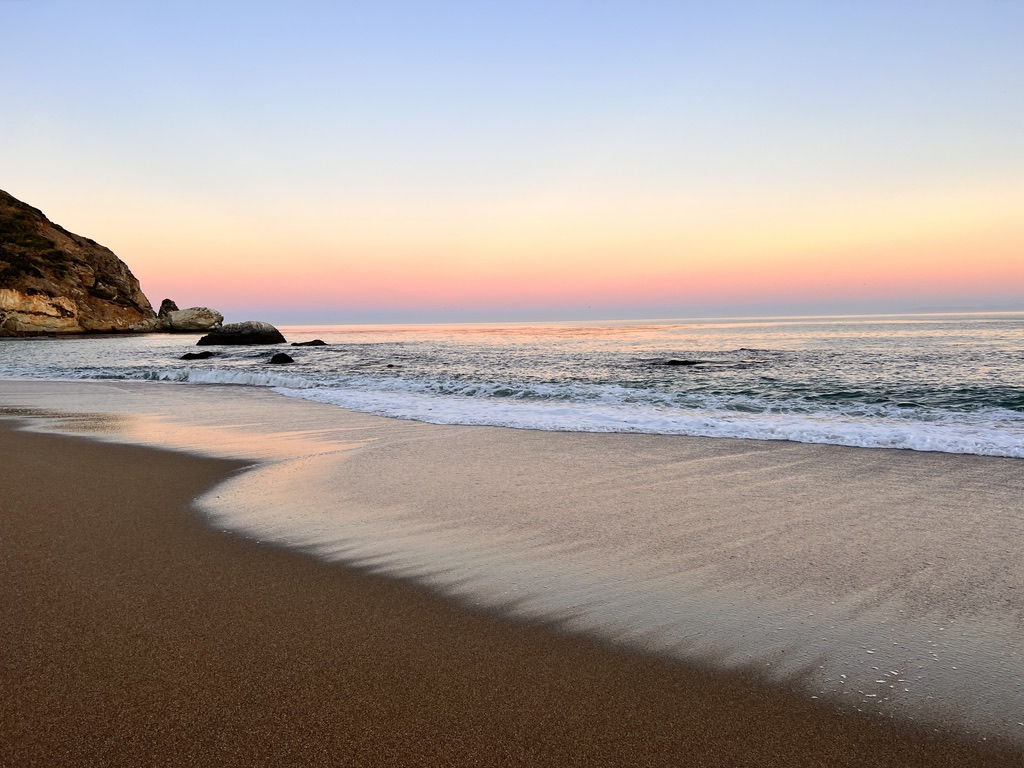
The final morning, everyone is up before light racing to town to get souvenirs and food before the hour-long ferry ride. I linger a bit longer in this loud, raucous setting where the waves crash and sea lions feed just off-shore. The witching hour of pink sky lasts really only about 15 minutes before the sun find me and send me on my way.
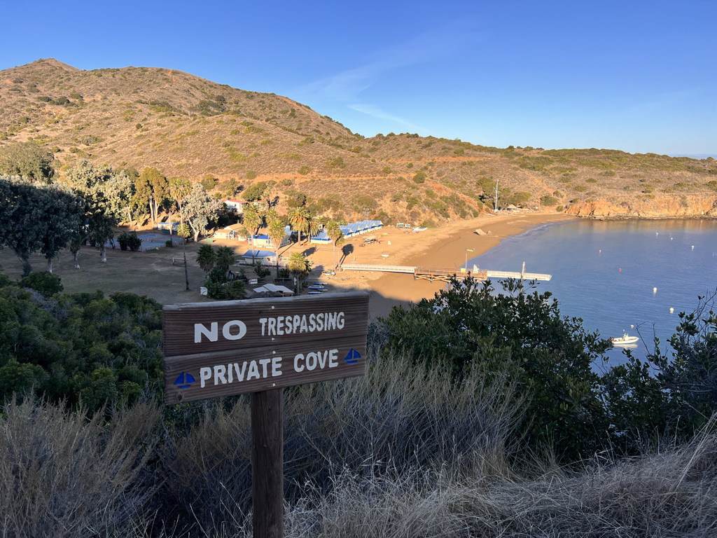
It’s easy walking on road in tracing the mountains and bays and looking down on one private cove after another. One camp is only metal poles in the shape of a tent and metal bedsteads. Luckily I’m in shadow much of the way because on the return I am facing the hot sun. I can’t imagine doing that on the steep uphills.
It has been such an interesting and lovely hike. Now I do feel very much like I’m in a more urban setting as a bulldozer grades the road, politely stopping for me as I pass so i don’t choke on the dust.
In Avalon, I saw signs decrying the Catalina Conservancy for their desire to remove deer from the island. The deer are an introduced pest and, with no natural predators, are overproducing and damaging the fragile ecosystem.
Because of the rugged terrain, there is no good way to capture them but to hunt them from the air. It feels barbaric, but truthfully it is the most humane way to save the island for their natural residents like the stubby-legged island fox and a giant ground squirrel as well as snakes, shrews and tree frogs.
But the fight is on and visions of Bambi likely will win out.

I do wonder about the bison, but apparently they are “pardoned visitors” that are less damaging. Besides, they have become a tourist attraction, at least from a distance.
Far below me are the huge kelp beds, hundreds of feet floating on the water and attached another 50 or so below the surface to rock. I learned to SCUBA dive in these kelp beds which look like mystical forests from an aquatic vantage point as the sun filters through.
It’s so cold now, I only look and remember those magical dives from days gone by. And soon I am back at Two Harbors looking down on our campsite from the other day and the little town. I even get signal and contact old friends from Houston who moved here several years back. They plucked me off the PCT to hang out with them and will do the same today.
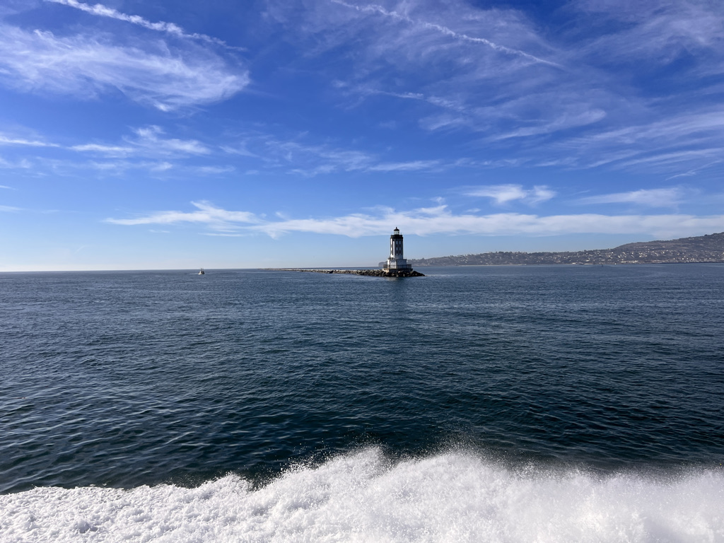
The ferry ride back is smooth in the bright sun. I don’t see any dolphins this time as huge San Pedro and its massive ocean-going container vessels come into view as well as the equally massive cranes.
My friends are waiting and I say good bye to the girls and this adventure. Thank goodness Ruth drives in the wild Southern California traffic as we all talk non-stop as if no time had passed. It’s a lovely visit – carefree and joyous just like calling Catalina Island home for a few days. Sadly, the following day, just as my plane takes off, fires are set off by the wind and this beautiful place becomes the subject of nightmares.


2 Responses
Well done!
thanks! it was a good one and I highly recommend!