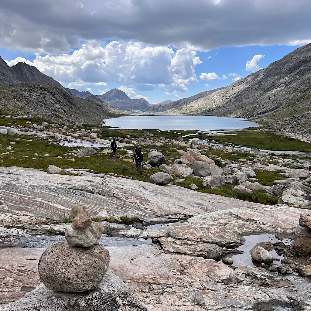
We’re up with the light. Well, 6-ish. A bit of negotiation got us to a 7:00 am departure and we’re all on time. Knapsack Col awaits, the first ‘real’ pass, though I already found Cube a challenge. I feel good and the day is crystal clear, not too cold or windy.
I had weird dreams about people I’d prefer to forget. Why do they follow me to this stunning place? The tent is damp with dew and hard to pack.
Two guys camp nearby and snap our picture. They’re too sick to go on. I’m glad I acclimated. Here’s what I did:
- no booze the week before
- loads of water
- two diamox (a glaucoma drug that helps with pressure changes) per day starting two days before
- sleeping at 8,000 feet for two days before
We cross the outlet on rickety rocks then sidle an eroding mountain on slippery sand. I skid down on my bottom and hope the girls don’t think I haven’t got the goods for this walk.
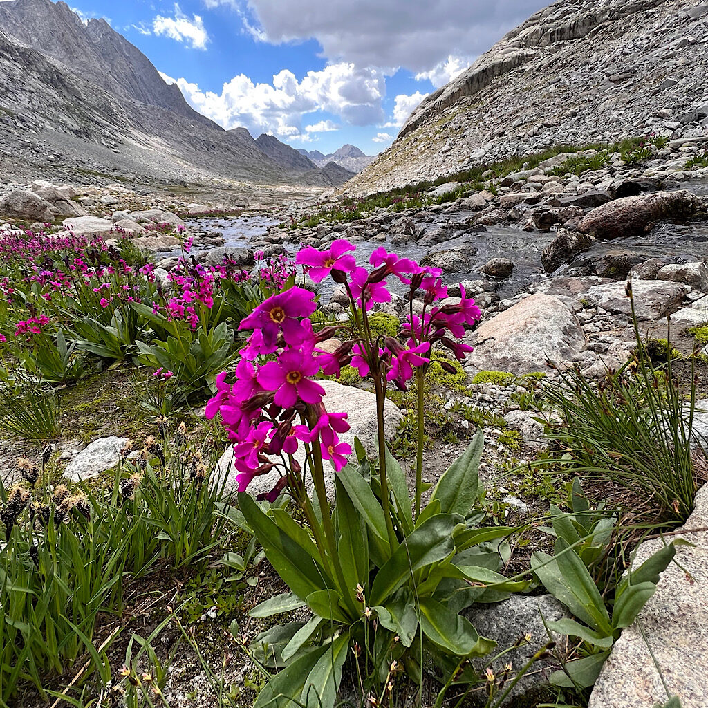
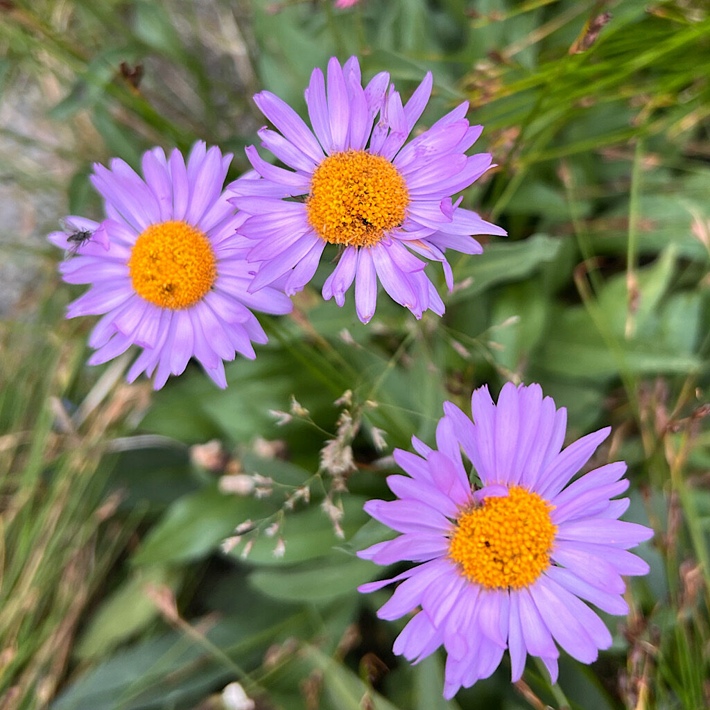
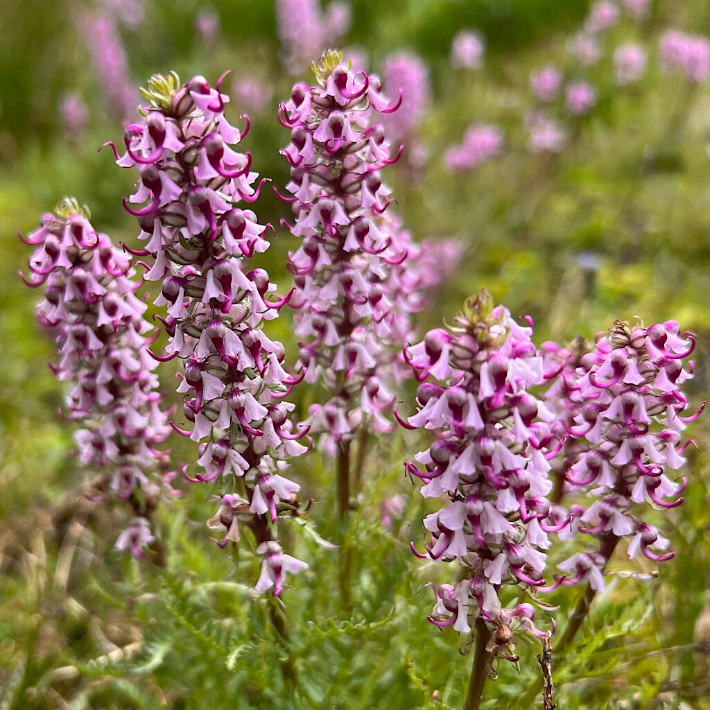
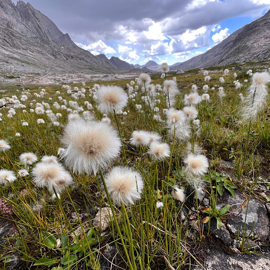
It’s gorgeous trail into a bowl of rock, the wildflowers strikingly brilliant in the stark landscape. Water is everywhere, so I refuse to carry any. That still requires making myself drink enough as I breath heavy going up.
A couple shoots out from a flat spot where they must have camped, flying ahead of us. I keep my breathing controlled and steady, marching up over 12,000 feet today.
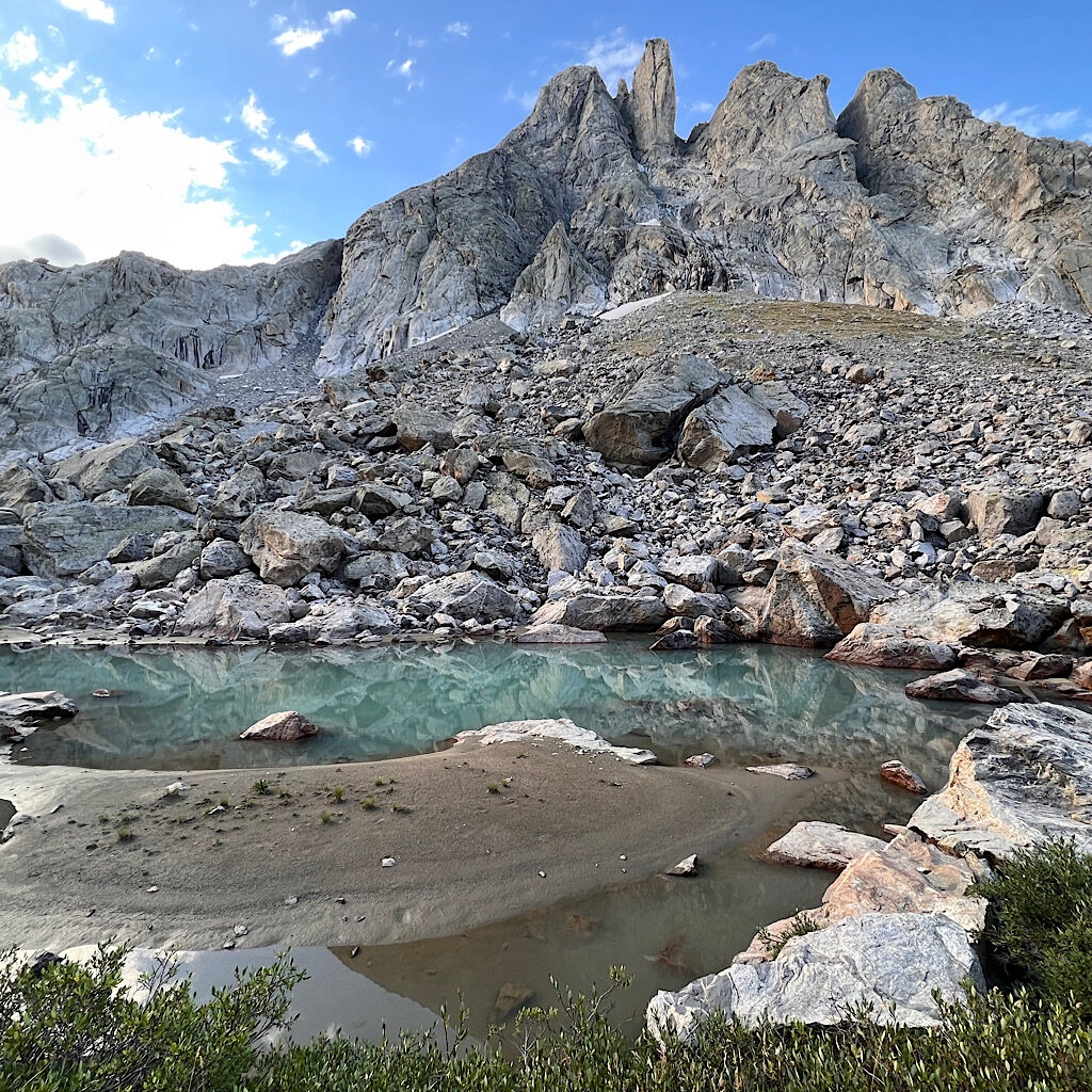
We’re confused briefly when the brisk stream becomes falls and a sharp climb is required. Kelly spots the way and I call her the ‘Cairn Whisperer’ as she bolts up to a rocky ledge.
Water runs beneath the rock and I watch for trap doors in the talus. It’s not easy to balance so I dig my poles into crystal fissures, not so much leaning on them but checking myself as I climb.
We stop at the last water and I down an electroyted liter. A very tan man carrying a tiny pack catches up. ‘Chef’ is thru-hiking the CDT and this pass is an alternate loop. He’s fast, but has that relaxed vibe of someone in no hurry. We discuss other alternates like the Tetons and Rocky Mountain National Park and I notice that even with a tiny pack, he carries bear spray and a gps tracker.
It’s nice to have someone ahead – even if half ibex – showing the way. Honestly, it’s straight forward on big rocks which turn to slippery dirt, switching back and forth to avoid the deep gully carved by the water.
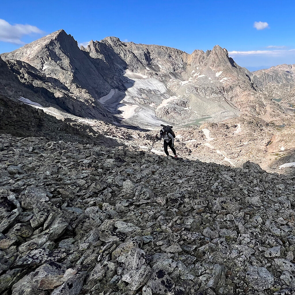
The col is revealed through a tight slot opening onto enormous pointy mountains and a very steep ascent on scree, or loose stones. I have jumped off passes on scree, skiing down laughing the whole way.
This is not that kind of scree.
Poles help a little as I aim myself down, but most falling happens backwards, a quick wipe out as if wearing roller skates, hands, wrists, shoulder, head all at risk.
So, I slide on my butt, one foot raised for speed, one foot out as a brake. Of course I release stones which fly ahead and smash into a snow field.
That could be me.
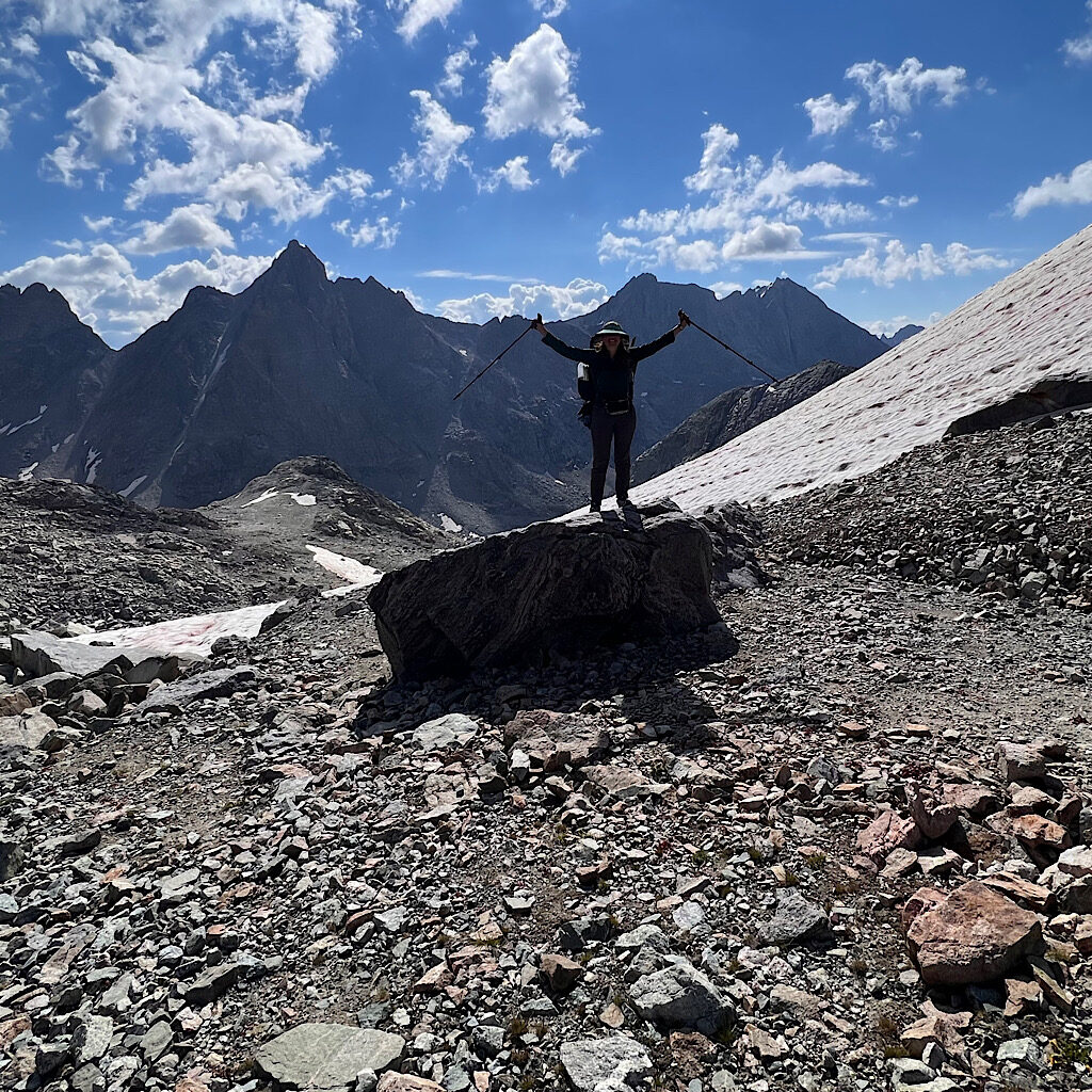
I do eventually follow those out of control rocks to the snow, but can’t stand. Melting glaciers create a muddy, shifting mess and I need to crawl to one solid rock for balance.
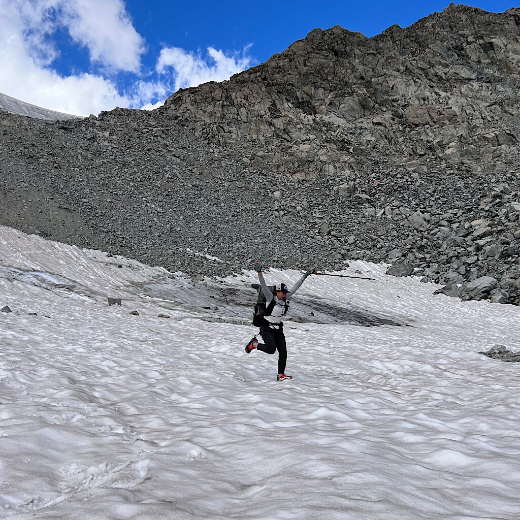
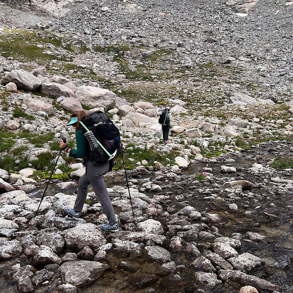
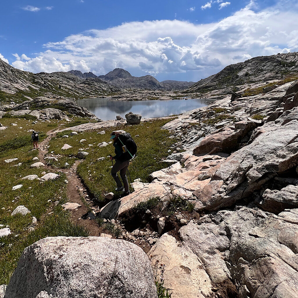
The others arrive (far more controlled) and we put on our microspikes for the short cross on slushy iciness. It’s still a long slog down loose rock but with less incline as we approach astonishingly beautiful Titcomb Valley. The sounds of crashing water from glaciers hanging as if suspended in mid air surround us in this magnificent bowl filled with flowers in intense brightness.
We meet a trail and pass many tents. A man snores on a mat under an overhanging rock. Thunder jolts us as thick black clouds come down on the pass. Talk about timing. We keep moving on slabs of rock with swirling colors from mineral intrusions.
The stream is our trail past lake after lake. Glaciers are revealed in basins among jagged peaks. A few raindrops hit us where the water flows down long slides of granite but we keep hiking. Even when hail pings us we move on.
At a certain point, the heavens open up and on goes full gear, including rain mitts. The couple from below passes us now commenting how glad they are we’re all off the pass.
We slosh through mud and tussock and I think about Scotland where most of the trail was wet. I don’t bother jumping past the mud and just plow through.
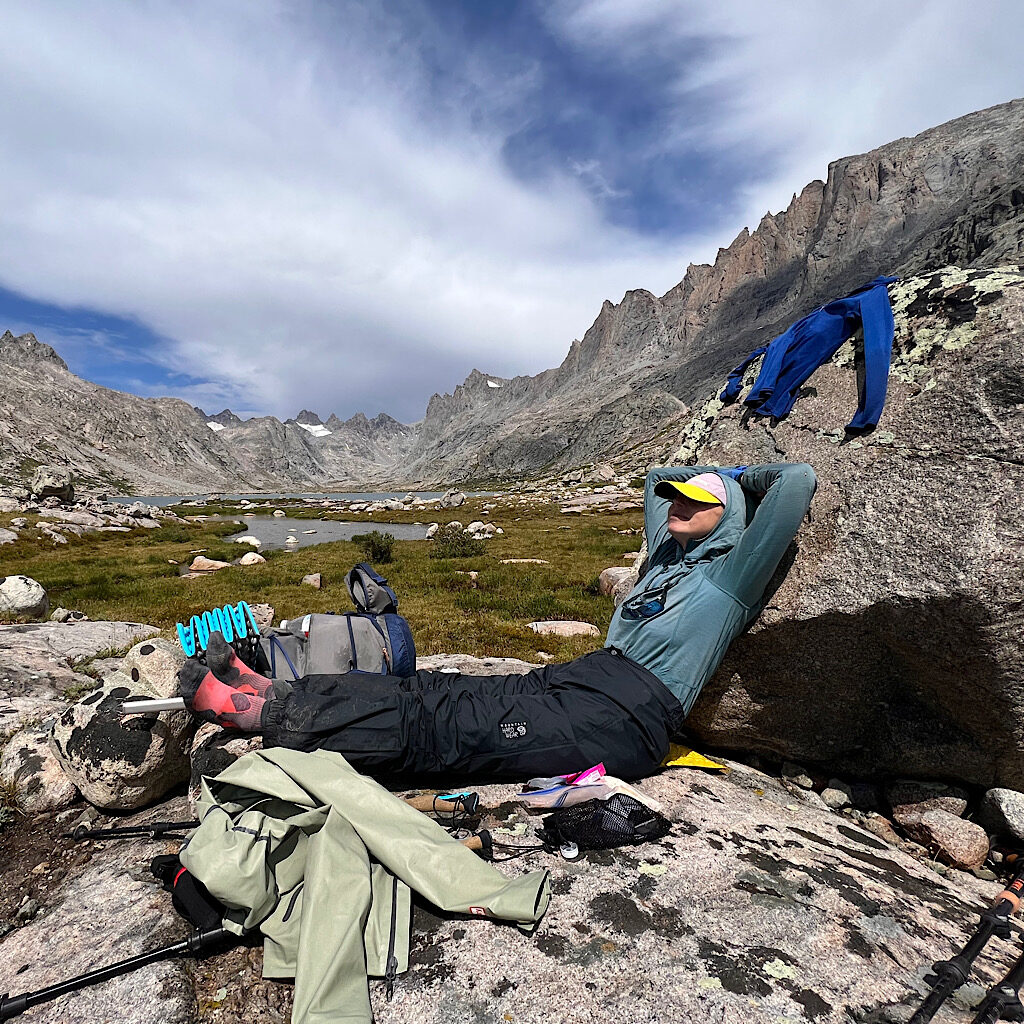
A half hour later, the sun appears, hot and steamy, rocks gleaming. We stop for a wardrobe change and snack. It’s truly amazing how much a hiker can eat. I like watching my food bag shrink.
The trail winds around rocks past more tarns and tussock. It’s here we meet the CDT again but turn up to Indian Basin to continue staying high. Harrower Peak and Elephant Head tower above this new valley of rock and lakes. Four backpackers with pack covers in primary colors stand on a peninsula watching the huge cumulous clouds move off into the desert beyond.
We’re told good camping is available at the “last lake before the pass,” but it’s hard to determine what is a tarn and what a lake, so we begin looking early hoping for a soulful and private spot.
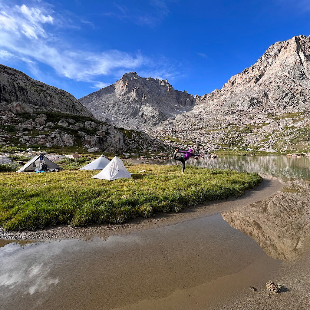
I spy a grassy peninsula jutting out with room for three. Katlyn runs ahead and when we see her throw her body down flat, we know we’ve scored.
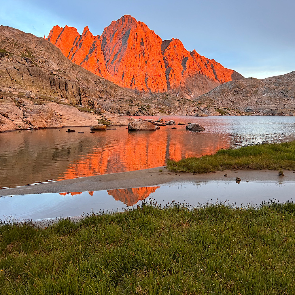
Out meadow is dry with few humps sitting on muddy sand, no shoes required on soft grass. Again, a waterfall is our soundtrack and we lazily set up, gather water, eat and stretch. The sun angles low through moist air and turns the mountains a deep magenta.
What a miracle, right before it rains.


4 Responses
Loving this! Such a reminder of how ROCKY and beautiful the Winds are. No wonder I got hooked on the West.
and then she took me on more talus…ha!
Breathtaking sunset photo, Al. Like, out loud “wow” photography. Enjoy!
We were so dead tired, too and it was windy. I just couldn’t tuck into the tent before I watched the entire show!