
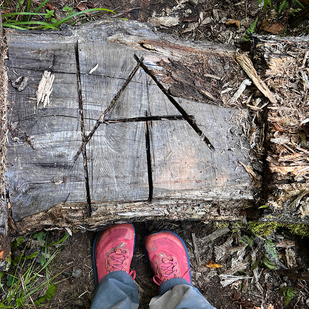
day one, US Route 201 to West Carry Pond, 14 miles
I sleep beautifully at the Sterling Inn. Long and deep. Since the ‘ferry’ doesn’t start running until 9 am, I’m able to take a leisurely breakfast.
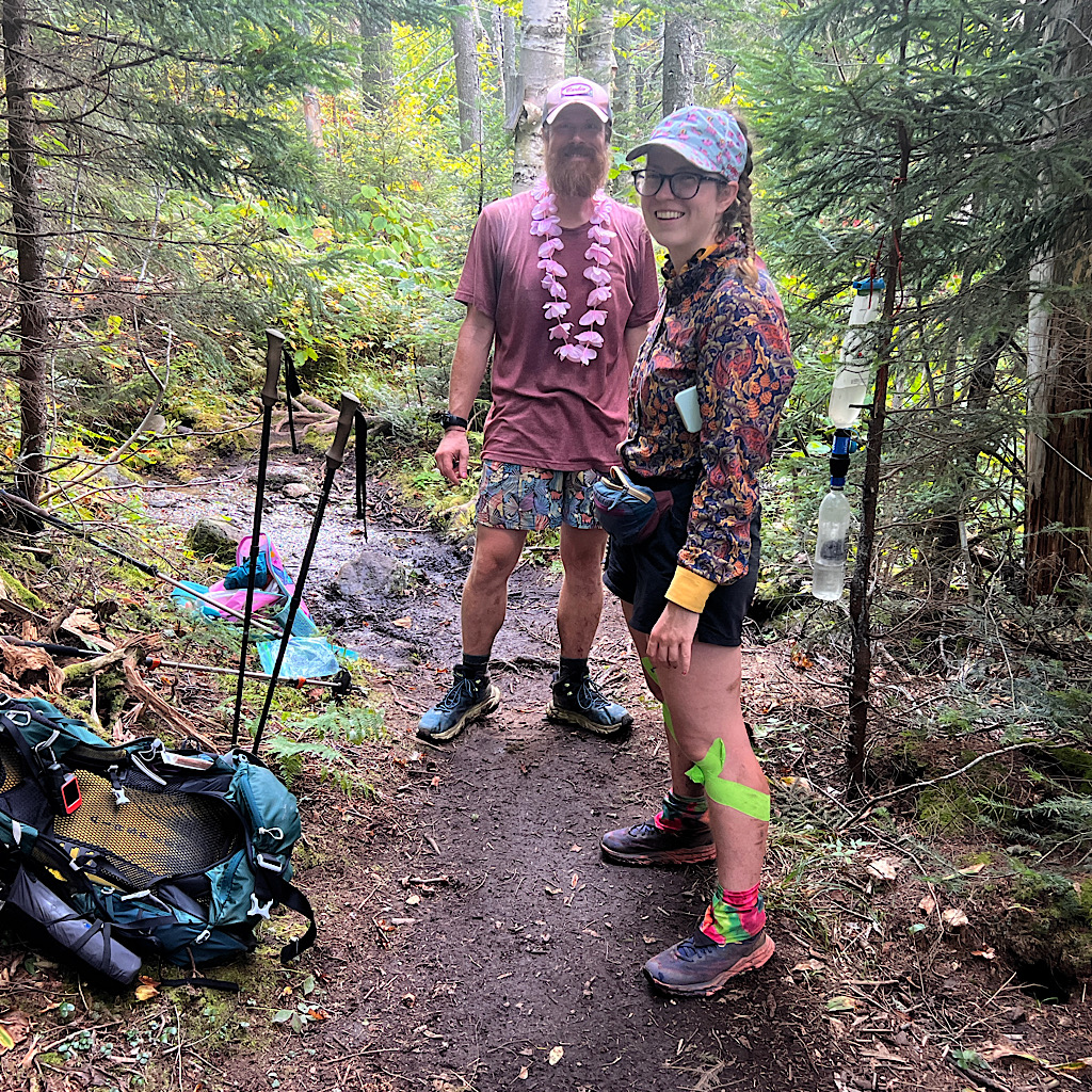
Fog has rolled in but the day is supposed to be beautiful and hot. I sit with a small group on North-bounders, Action and Adventure from North Carolina, finishing the AT over several years with just Maine to go.
Dragonfly joins us with a broken wrist. She apparently just tripped, but didn’t let it stop forward progress.
Everyone is lovely, chatty, interested. We share stories around the table when another man joins us whose name I didn’t get.
Each brings tales of difficulty –heart trouble, vertigo, broken bones – I’m amazed they keep moving ahead and with such grace, grit and a kind of lightness that gives me courage.
Their stories of sinking in mud up to their navels and nearly falling on catwalk ridges is less so, but if I just take things slow, I should be fine.
Eric comes around pointing at his watch. We had such a great time chatting yesterday as he drove me back from Bangor Airport, I can’t imagine what’s making him so cranky.
My new friends at the table suggest I send my warm clothes ahead to East Andover where a 91-year-old legend named Honey runs a hostel. Fortunately Eric has a small box for me.
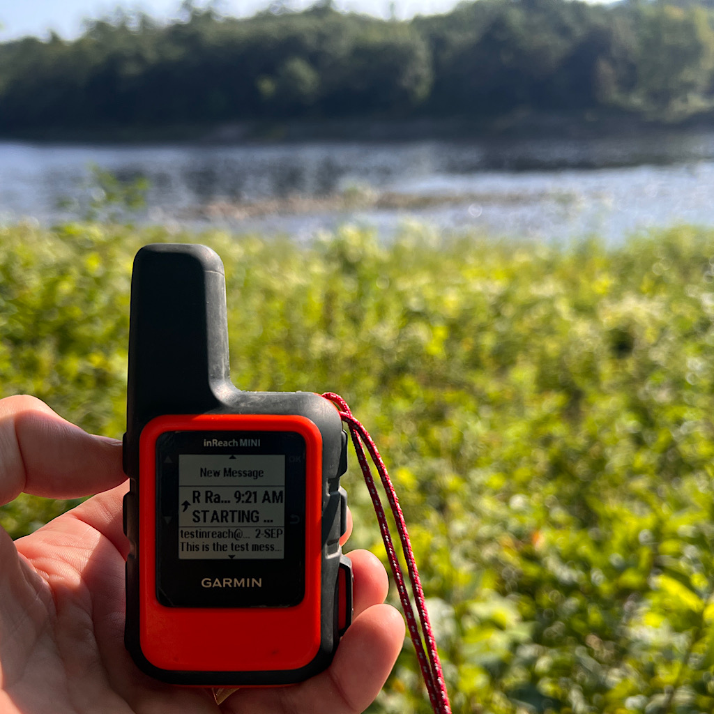
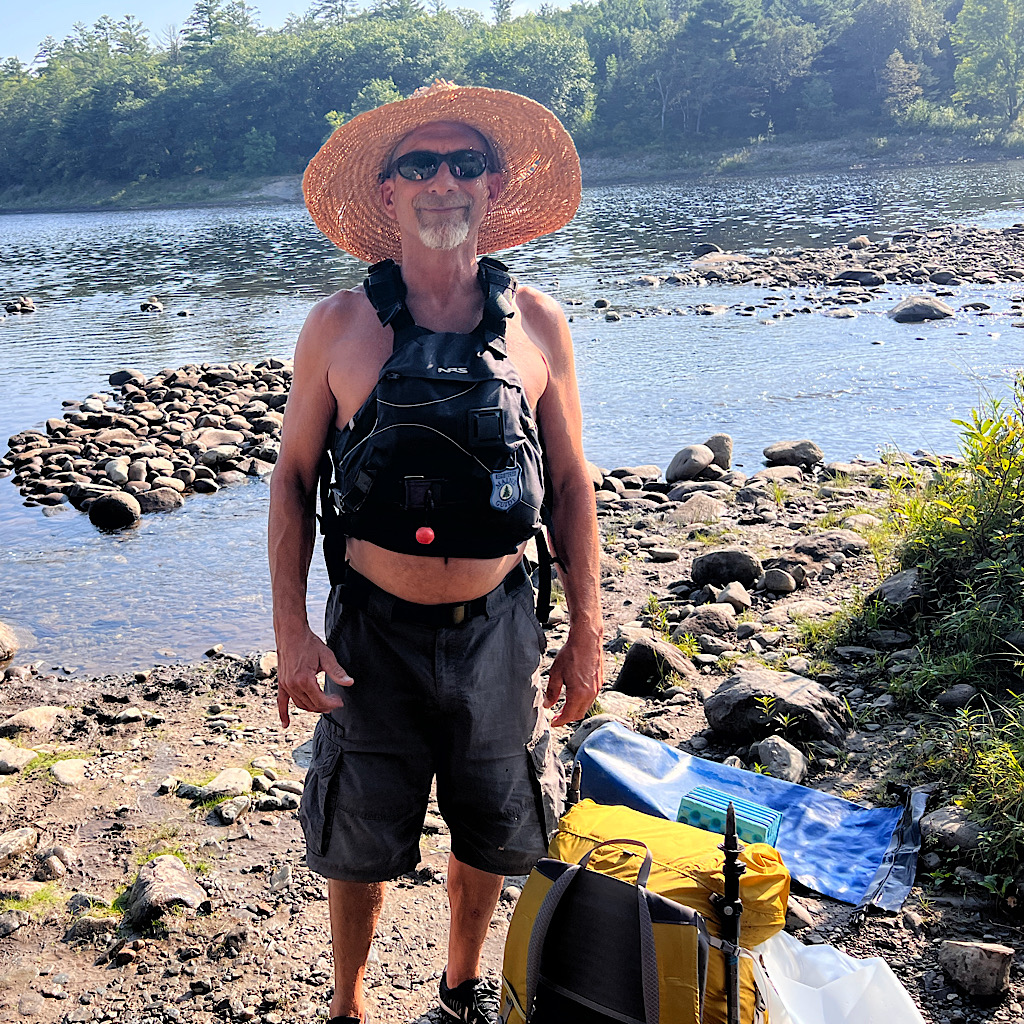
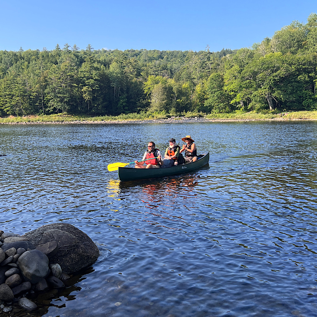
It’s a five minute drive to the trail and I’m back where I left off. I need to cross the Kennebec River which is dangerous because a dam above releases water so changes its flow and current regularly.
Apparently an AT hiker was swept away, so now there’s a free service consisting of a guy named Rob paddling a canoe across and carrying hikers in pairs.
Two head this way but I’m the only one going south. When I put on my flotation vest and buckle from the bottom, Rob compliments me for knowing how to do this.
“I’m from Minnesota,” I say as I tuck in the paddle and help guide us at a diagonal to the current. A line has already formed and I take everyone’s picture.
Rob wishes me well and advises I take my time to see all the waterfalls on Pierce Pond Stream. I promise I will.
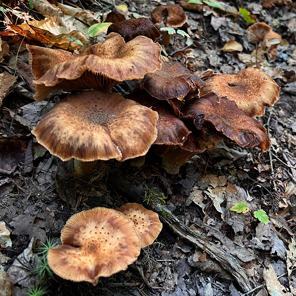
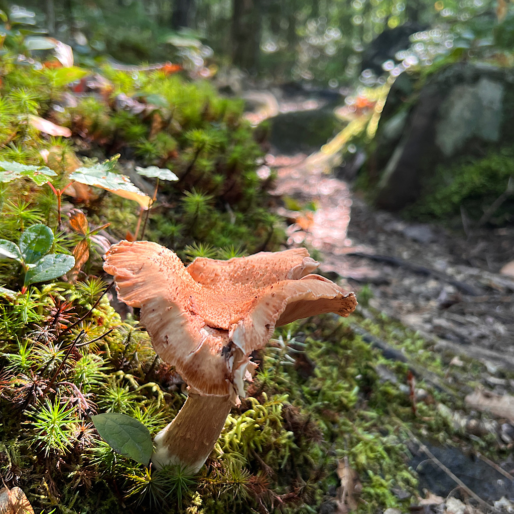
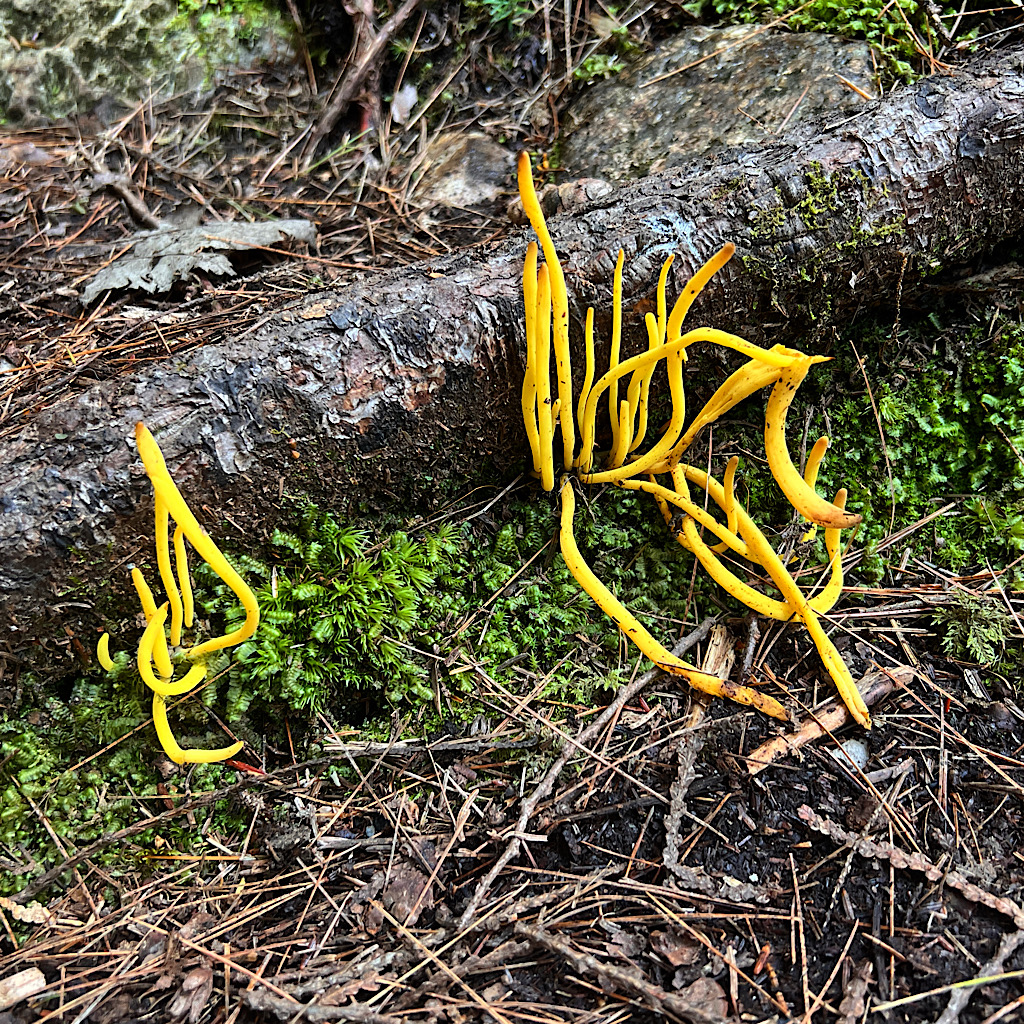
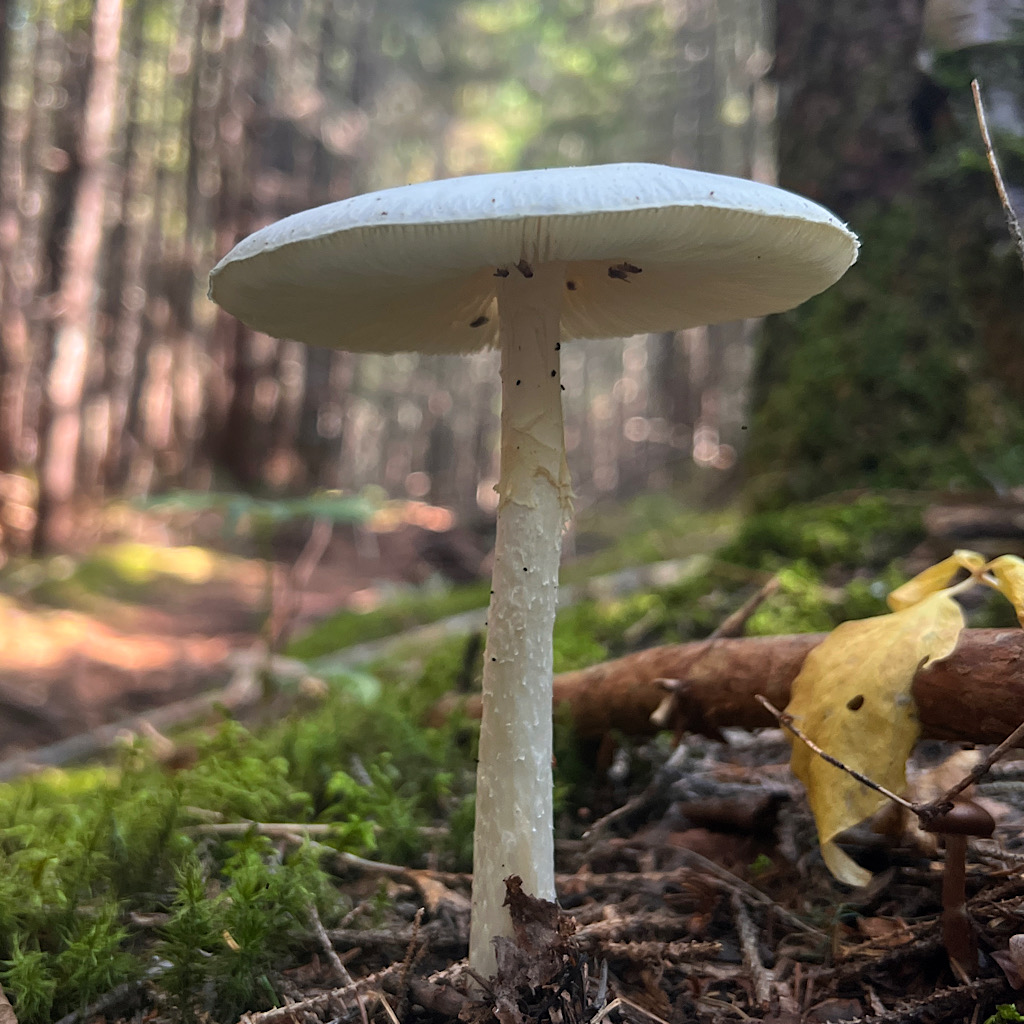
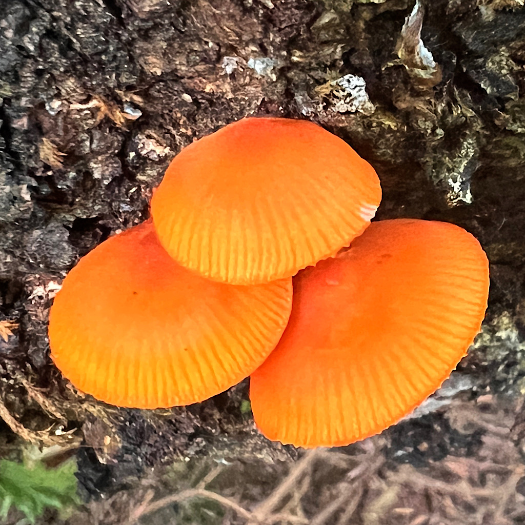
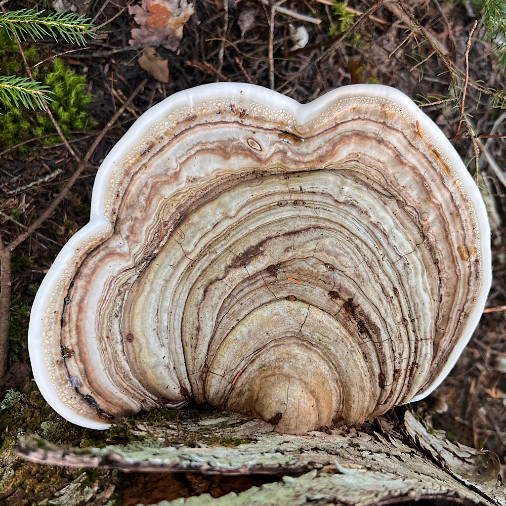
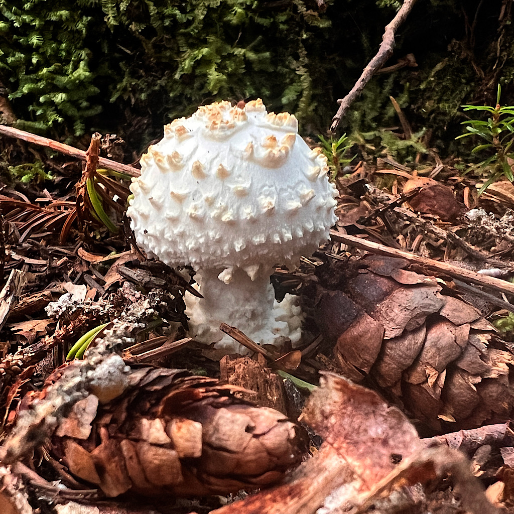
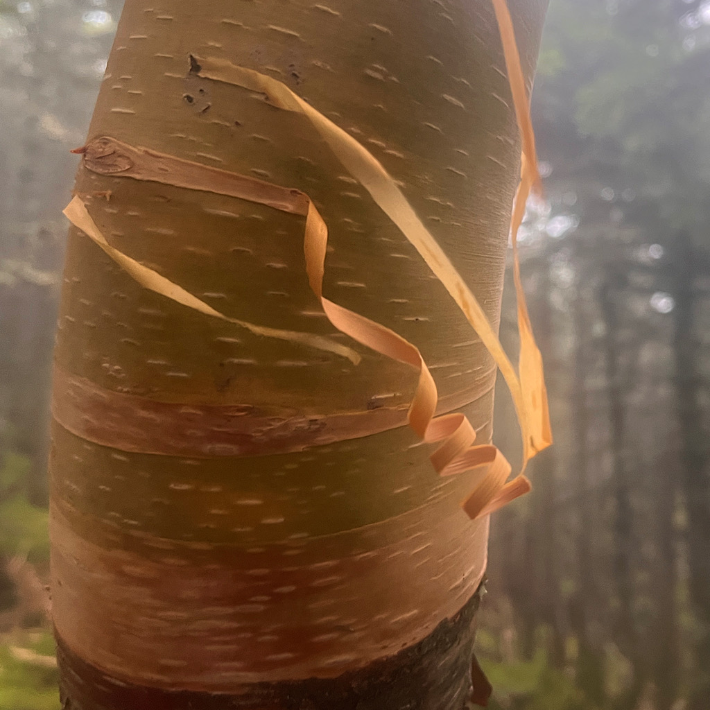
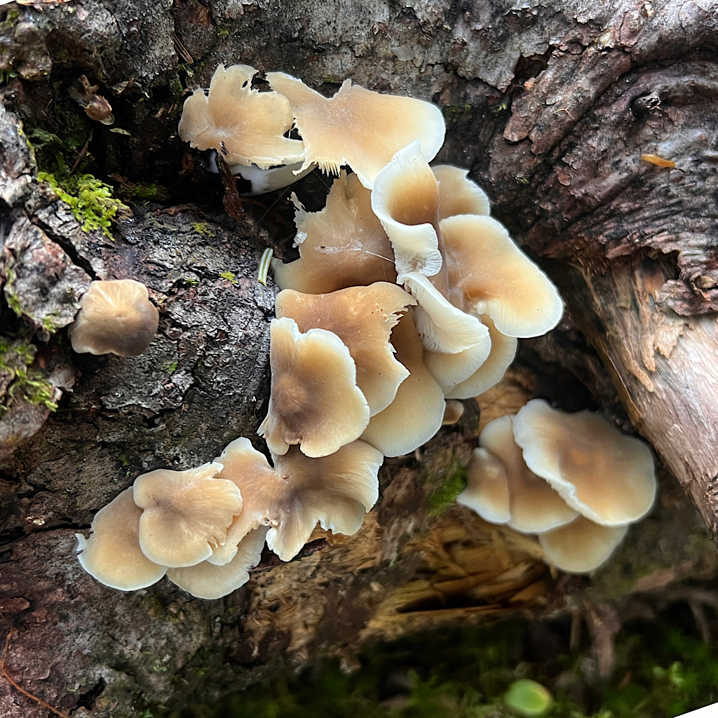
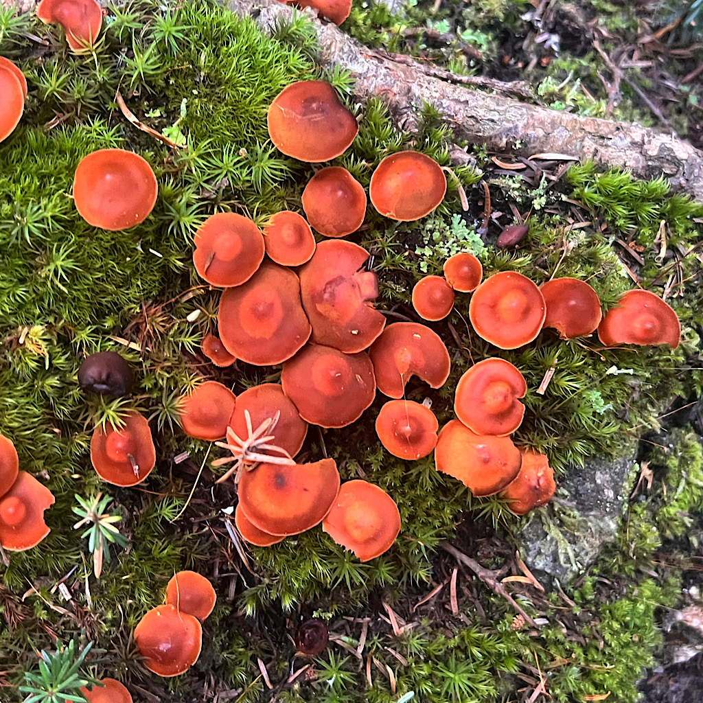
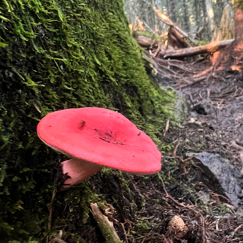
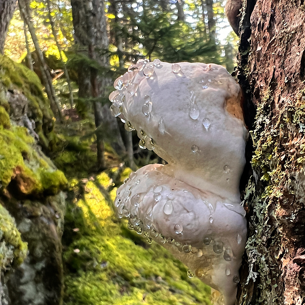
What a glorious day to be back! Clear, warm and straight uphill to start. I see lots of fungus as I climb as well as hikers heading for the queue.
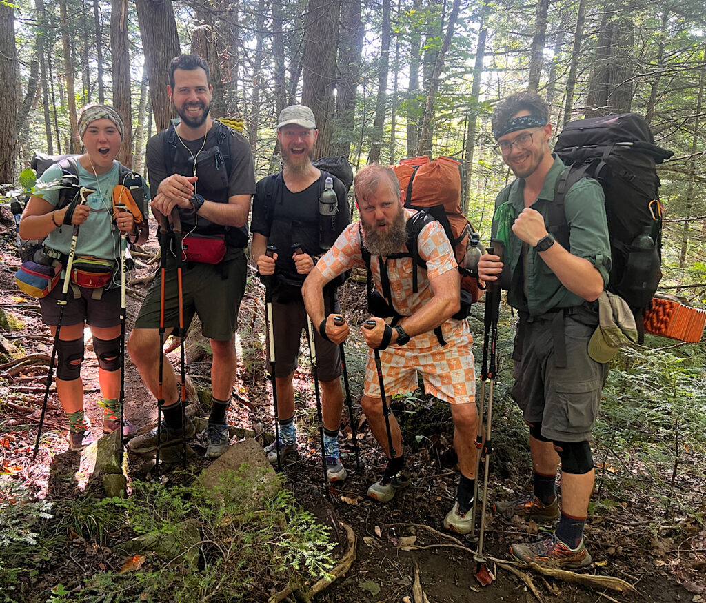
A big group of men is led by a cute brunette with knee braces. She stops to tell me to take the alternate ahead to skip the dangerous ford. I thank her for the beta and make them all pose with a look of triumph so close to the end.
The trail provides. I study the map and plan as far ahead as a day with a vague idea of where I hope to end up, but invariably people offer the information I need.
The falls are dramatic but require leaving the trail for steep spurs. I don’t want to exhaust myself on day one, but an surprised how strong I feel.
My doctor told me to get as strong as possible before treatments. Still, I didn’t set foot outdoors for ten days after surgery because I was so weak and fragile. Perhaps being fit got me through it so that now I’m retaining my power.
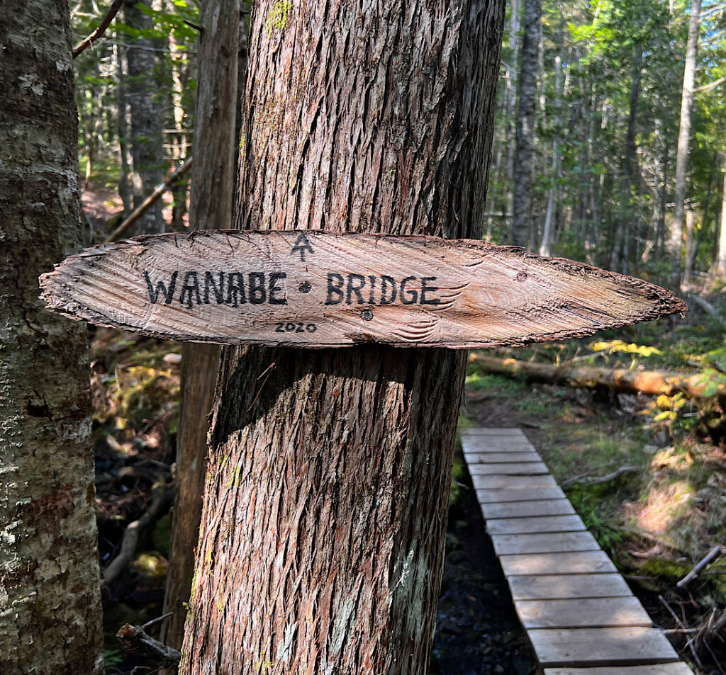
Soon I reach the turnoff with a sign for the bridge and a note to SOBOs (south-bounders) to take this turn.
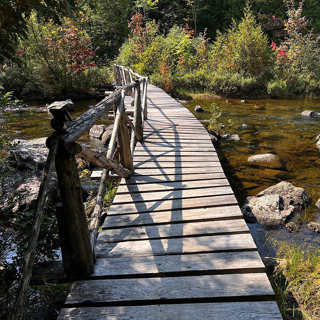
The bridge is a lovely long footbridge leading to Harrisons Camp, an d-fashioned backcountry fishing camp. I hear the food is fabulous but the timing is wrong for me, so I pass by following the river to gorgeous Pierce Pond.
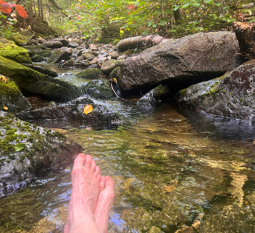
The loon welcoming committee yodels at the lean-to but I push on for a lunch spot on a babbling brook where I lean against my pack and feast. A young man passes heading where I’ll go tonight.
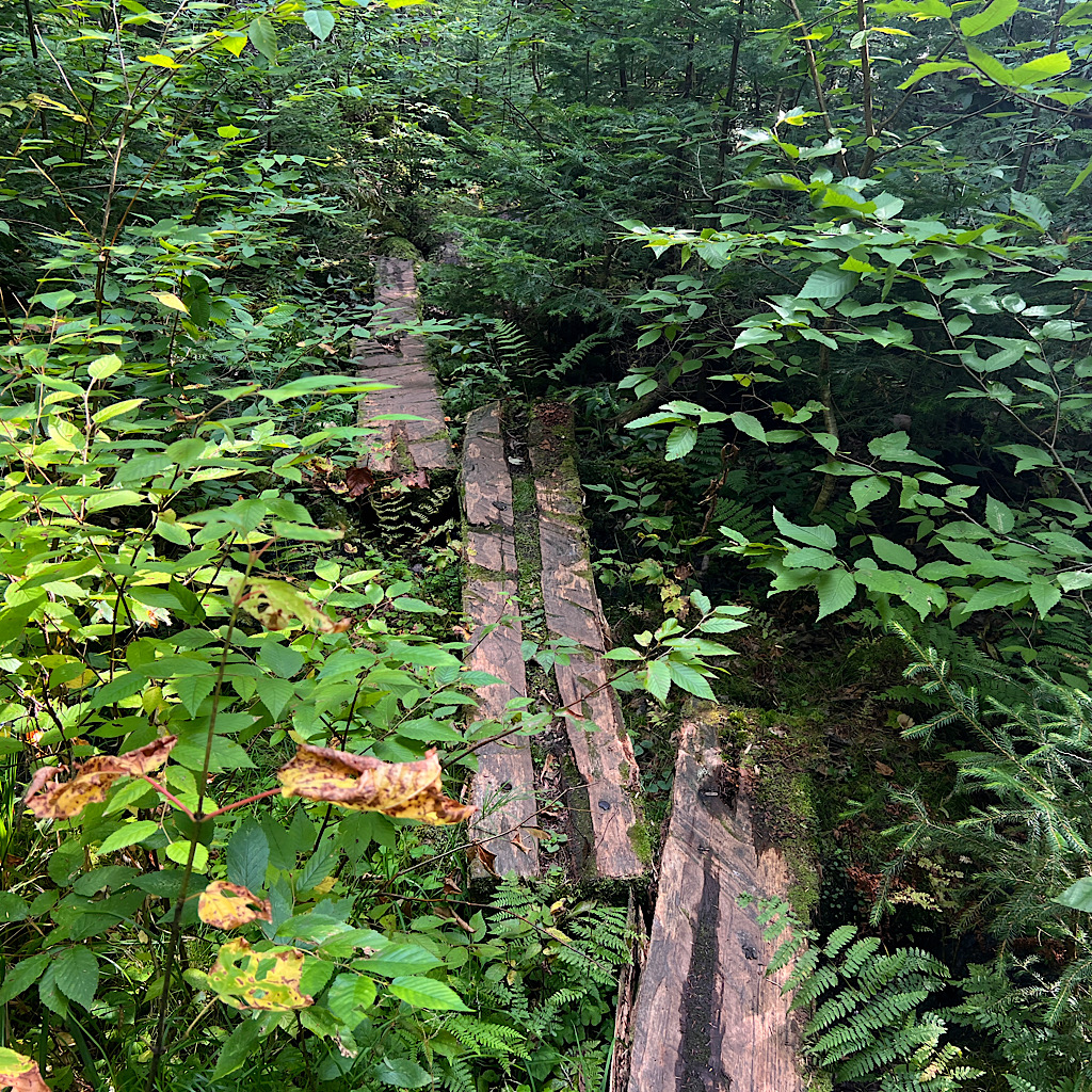
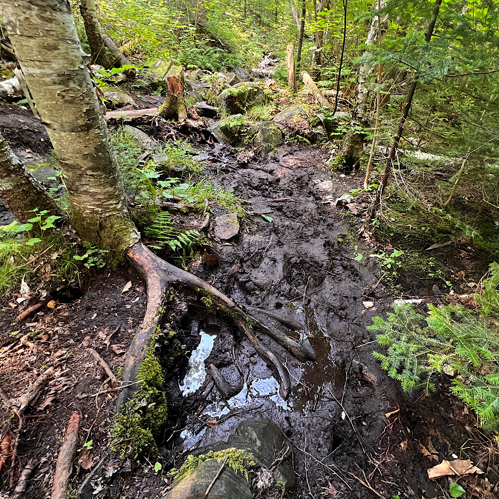
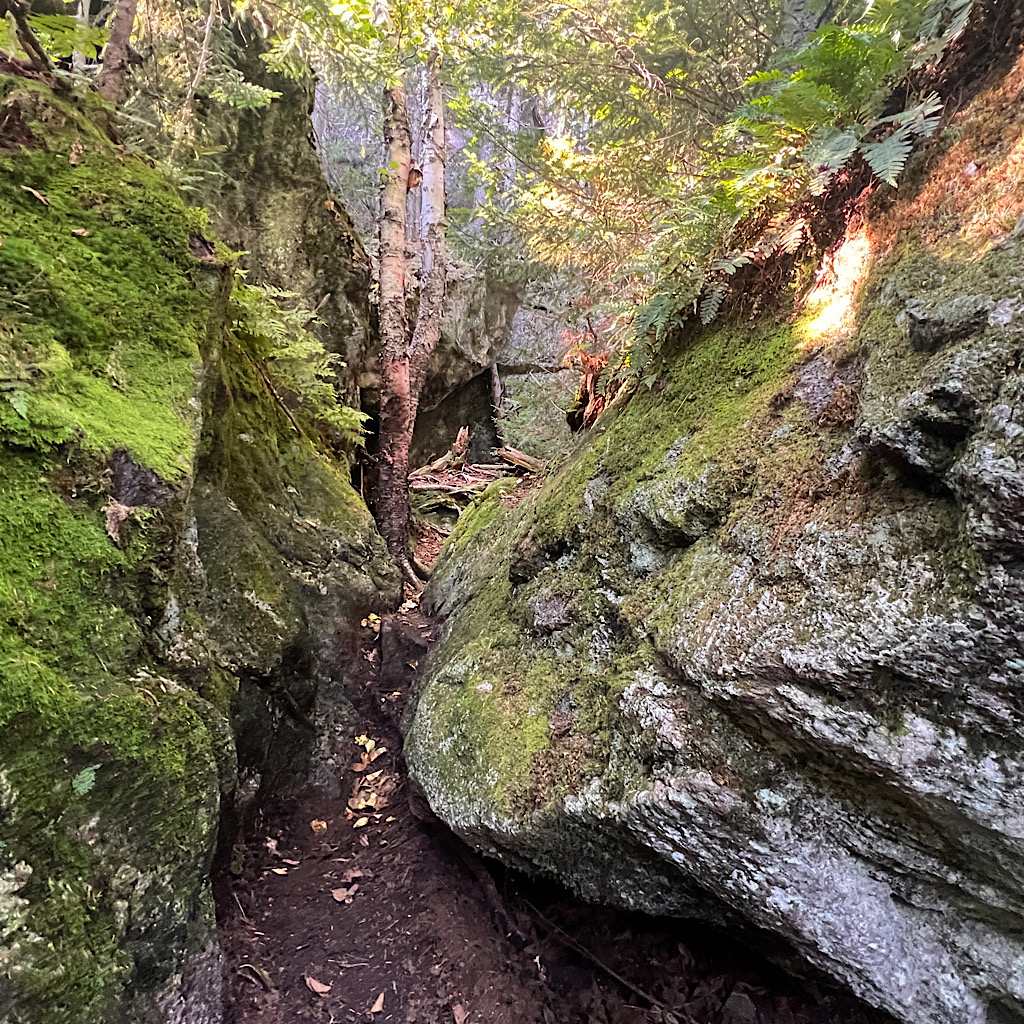
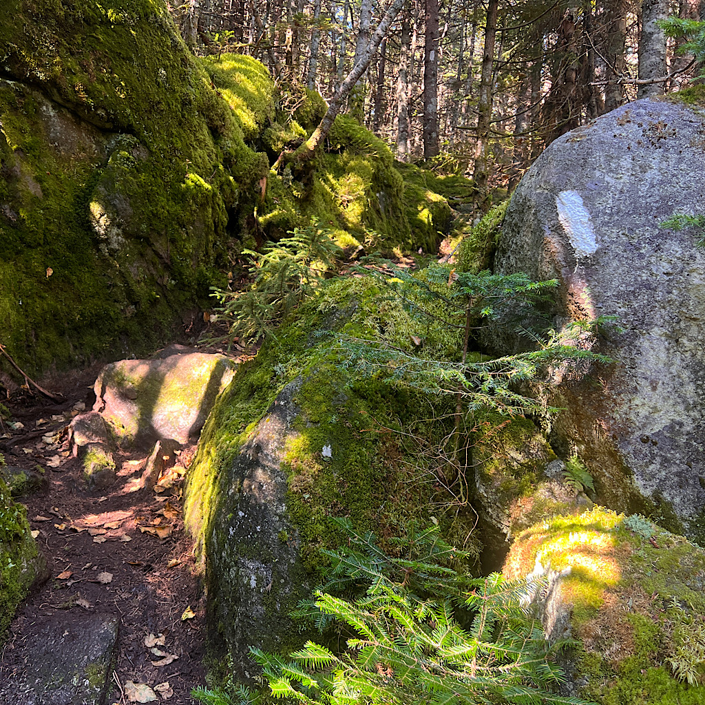
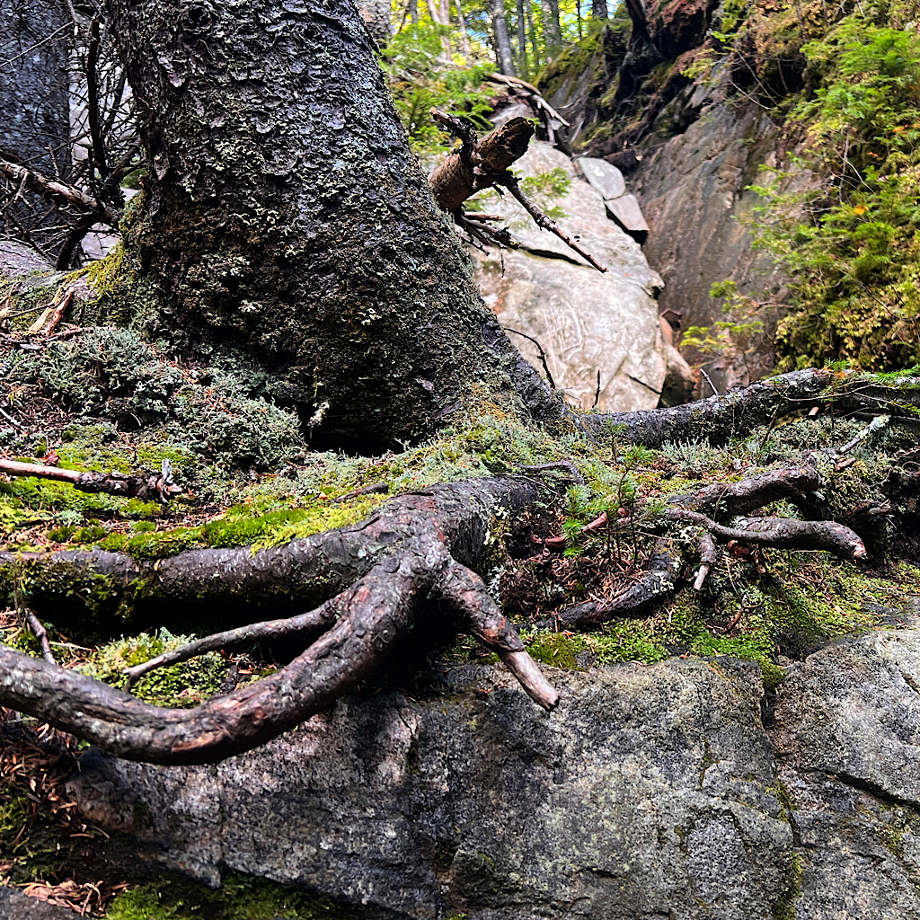
From here, I enter thick and dark forest where the trail is rocky and slippery. Anyone who asks how many miles I can walk in a day must understand that the Maine woods can slow walking to a crawl.
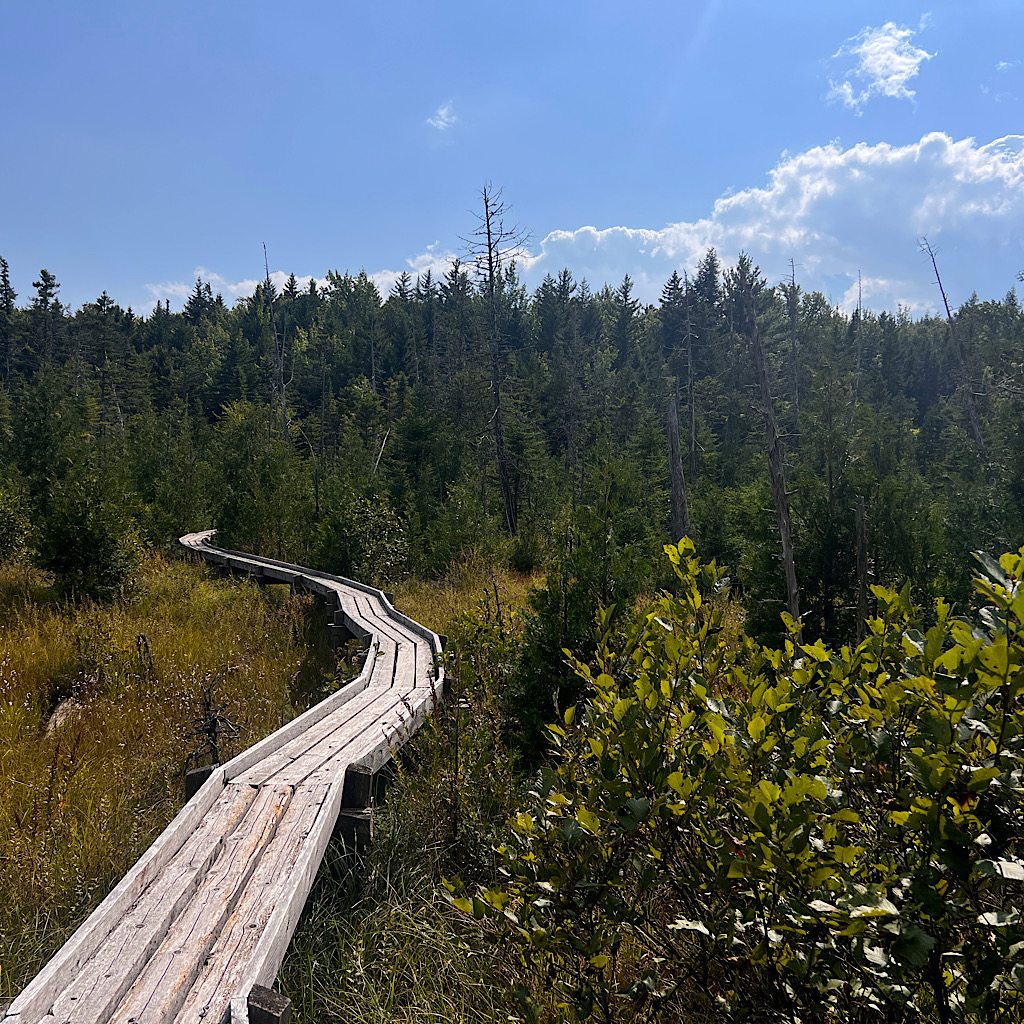
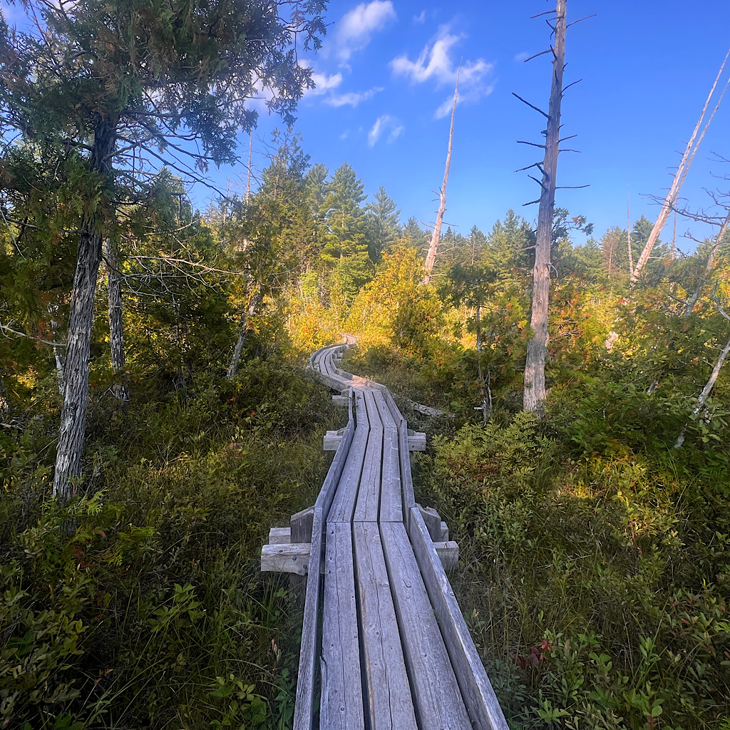
When I reach bogs, the trail joins well built boardwalks that zig zag and curve through snags in deep pools reflecting the sky.
Then it’s right back to slow motion mud and rock, the forest mostly quiet now in late summer except for raspy chickadees and scolding squirrels.
I am so happy to be back, surprised, still in shock. As many of you know, when I walk in nature, I speak to ‘the goddess.’ I was not all that happy with her when I was diagnosed with cancer, but grateful now that my treatment was so focused.
I ask her what the deal was, why did I have to endure this. Was it to teach me how to live the rest of my days? I didn’t need a terrifying disease to teach me that.
To which a voice says, “Cancer was more efficient.” and I chortle.
It reminds me of telling my oncologist I took a huge step for my health last December and quit drinking (alcohol is a known carcinogenic, especially for breast cancer)
But didn’t help at all because I still got cancer. My doc couldn’t hold himself back and burst out laughing. I guess he knew we’d get through this so might as well have fun.
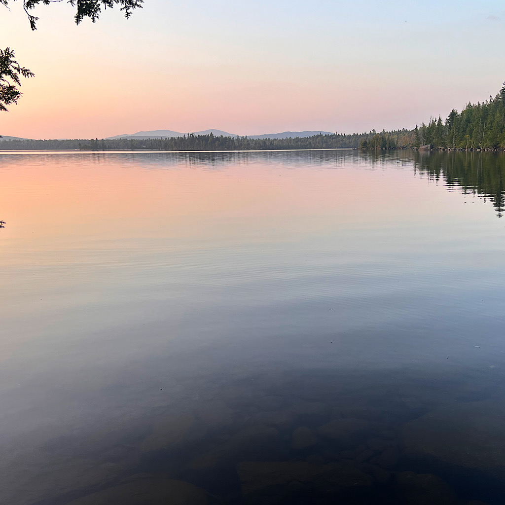
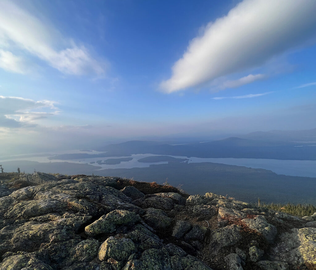
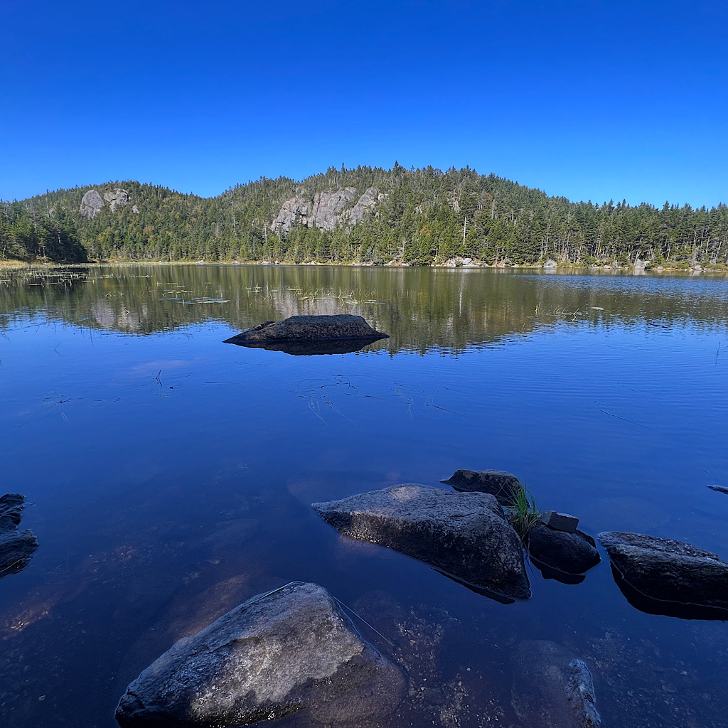
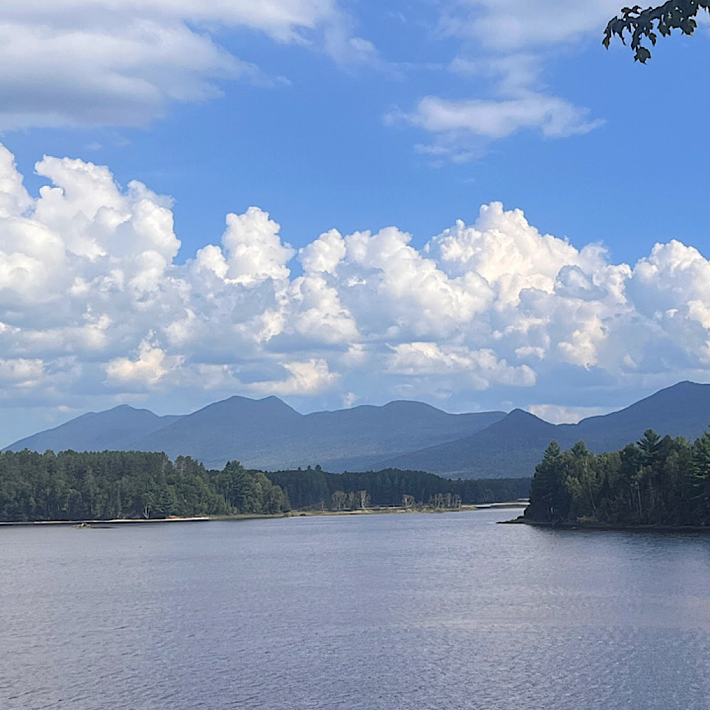
I reach East Carry Pond, a massive white-pine ringed lake that reminds me of the Boundary Waters until I see a huge mountain in the distance.
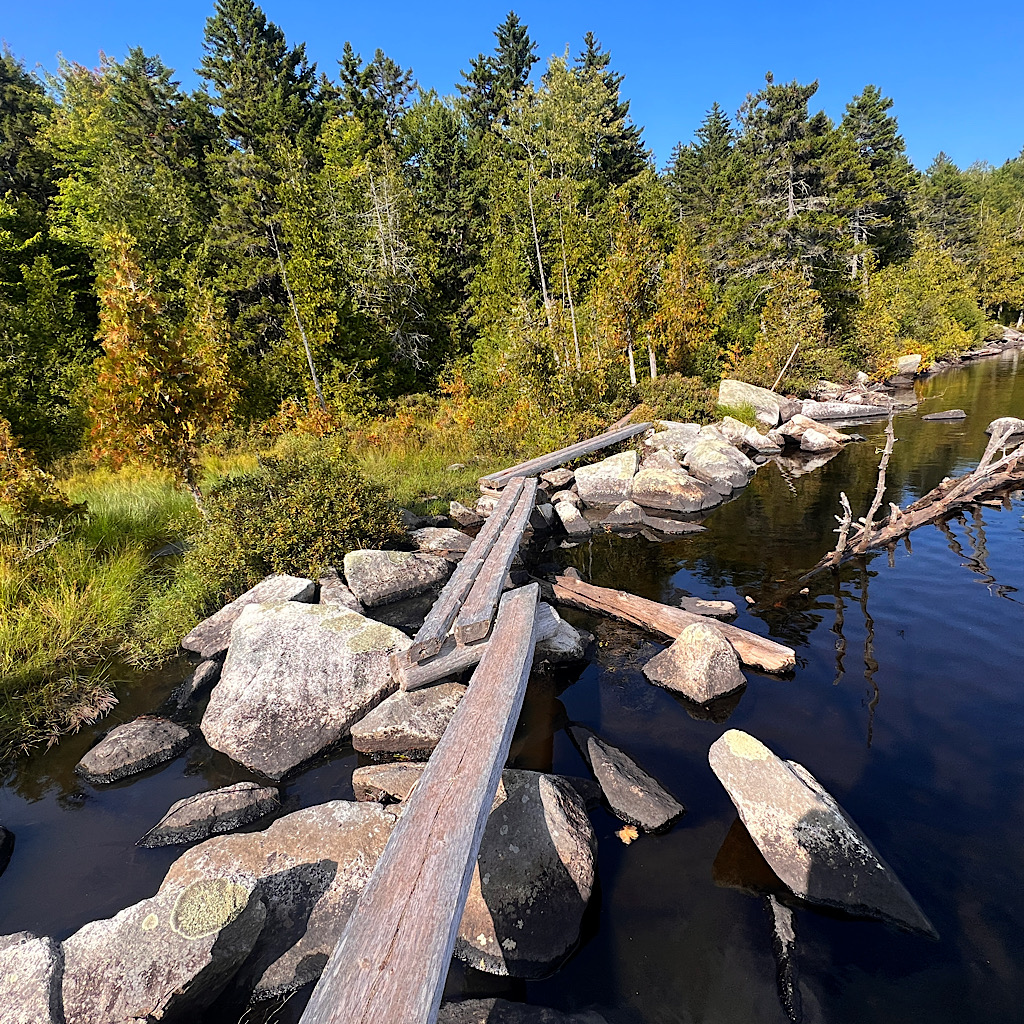
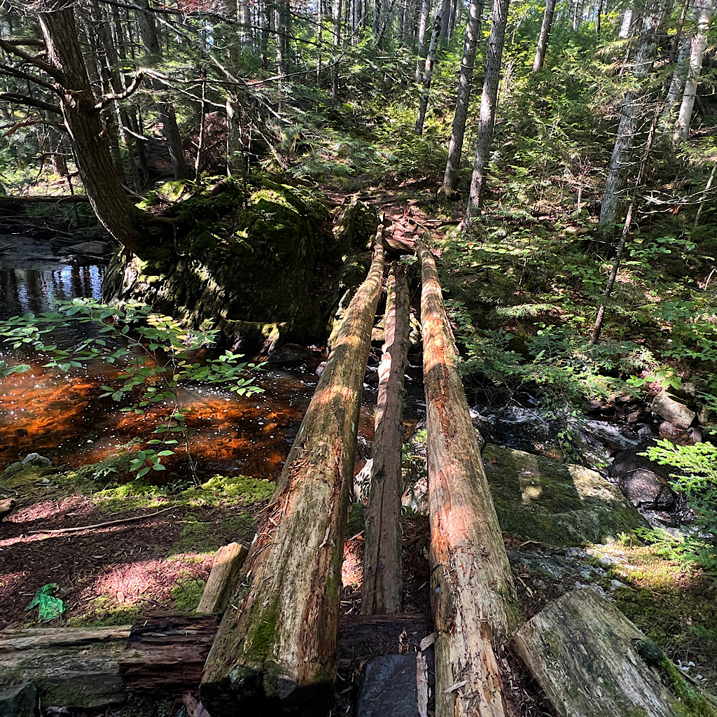
A family of mergansers swim by, with flippy brown feathers on their heads. They dip and preen as I approach a set of logs to cross, leaning and precarious. Beautiful sky-blue dragonflies hover in the sparkly light.
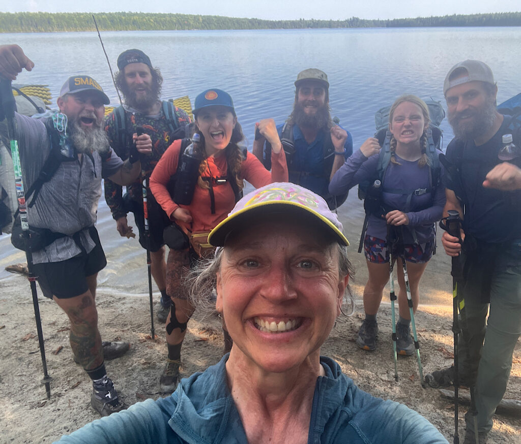
Around the corner, a large tramily (trail family) called the ‘BFF’s’ takes over a beach and I join them for a snack.
“Are you a SOBO?” one asks.
“This is south?!? Oh no!”
She groans, then they tease me going so slow starting on June 1. Well…I share a bit of my story and throw in I’m back and traveling ultralight and we laugh some more.
It really is good to be back – and here with some really happy hikers.
We share beta then I push on for my final lake. It’s only a few miles, but rocky and muddy and I have to carefully pick my way. I pass a few more hikers before reaching a sign which explains the “Big Carry” involving Benedict Arnold working his way to Quebec in 1775. The AT shares this same path.
At West Carry a small spur leads out on a point and I follow it in hopes of finding a wee camp spot on the lake as the sunsets.
It’s overgrown with one nasty blowdown I have to crawl under. The views are lovely, but there are no sites here, so back I go, walking to the shelter as the forest dims.
The young man I met is here with his brother and two other men camp. I quickly set up and eat, hang the bear bag and tuck in.
By 9:00, it’s silent except for the loons, moaning their mournful two note call, then yodeling as if ‘loony,’ before they too stop and only a few frogs sing and one lone mosquito visits the netting of my tent.
day two, West Carry Pond to Bigelow Col, 15 miles
I’m awakened by the NOBOs up before dawn. Feels about right so I visit the mouldering privy, leaving a handful of wood chips behind so my poop will become part of the environment in the best way possible.
Waves crash on the shore and I wonder if maybe I’ll have wind today to cool things down. I’m soaked to the skin from a combination of humidity and sweat. Nothing dries on this trail.
A fisherman is already in position lit by an orange sun. Only loons break the silence and a few peaky mosquitos. Guys, it’s September; scram!
The light is dappled in the thick forest. I move steeply up and test by lungs. I need to take things slow. Mostly it’s dry as I ascend. It’s on the flats I need to negotiate mud and rocks.
Hikers pass, each telling me about trail magic ahead. A black throated blue warbler is still hanging around and buzzes joyfully. When he lands nearby, I see his dressed in his late summer browns.
The trail crosses a stream on large stones, then meets a road before cresting with a view of Flagstaff Pond.
Little Bigelow rises steeply across the lake. I’ll circle Flagstaff, then climb steeply up. I stop at a campsite and finish my water looking out on another gigantic body of water with an odd name of “pond.”
Ahead a hiker drops her pants to pee. I call out a warning and she tells me she tries never to leave trail so as not to get lost in this thick forest.
She too tells me about trail magic ahead and the super breakfast sandwiches. I’m hungry now.
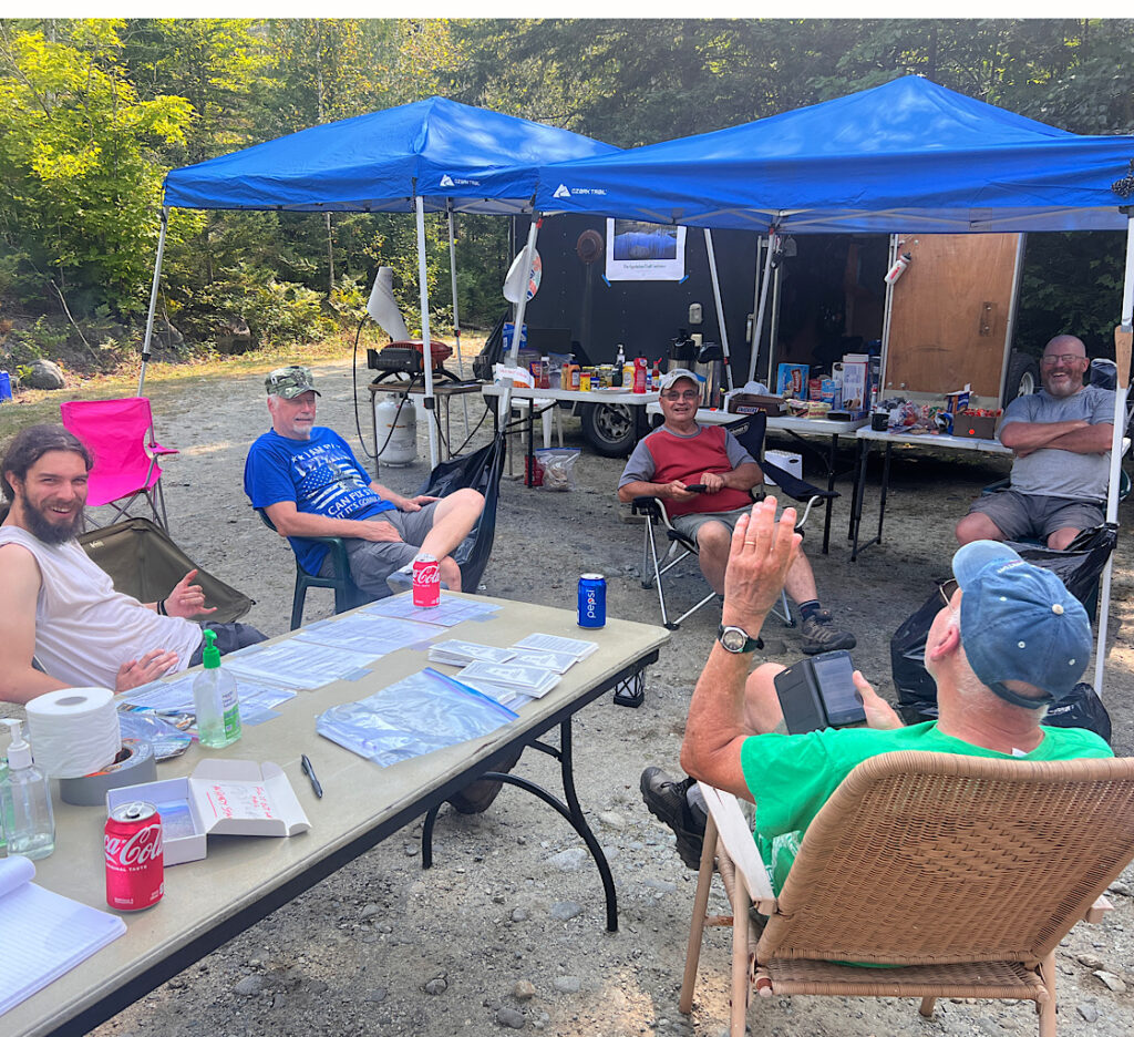
It’s a long way around then steeply down to a parking lot and a giant spread. Four older men – maybe not older than me but than most hikers! – have set tarps and tables filled with junk food. So much sugar and fat!
Numerous cooler carry various sodas and one hands me the famous breakfast sandwich. As I dispatch it, he hands me a stamped postcard with a picture of Mt. Katahdin. I address a card to Richard.
A young NOBO with wild black hair hiker is very relaxed and considering staying right here in this dusty parking lot the rest of the day.
The man who offered me the sandwich and postcard mentions thunderstorms are expected tomorrow afternoon. I had a vague idea of getting up Little Bigelow and stealth camping, or even trying to make it as far as a camp spot just below the big climb up Avery Peak.
When I ask the young man if he noticed water along the way, he tells me he just carries all he needs. He then suggests I plan to go further while it’s still nice out.
I am already tired, but it’s only 11 and beyond Little Bigelow is a campsite nine miles away. “You got this,” he says helpfully as if he knows anything about me.
So off I go carrying one liter of water. The ascent is easy on good trail. I quickly arrive at the turn off for a campsite along a beautiful stream. I drink my liter and filter another for the mountain, soaking my feet to cool off.
My ascent of 2,000 feet is modest though I breathe hard and hope the spring is full of water on the other side.
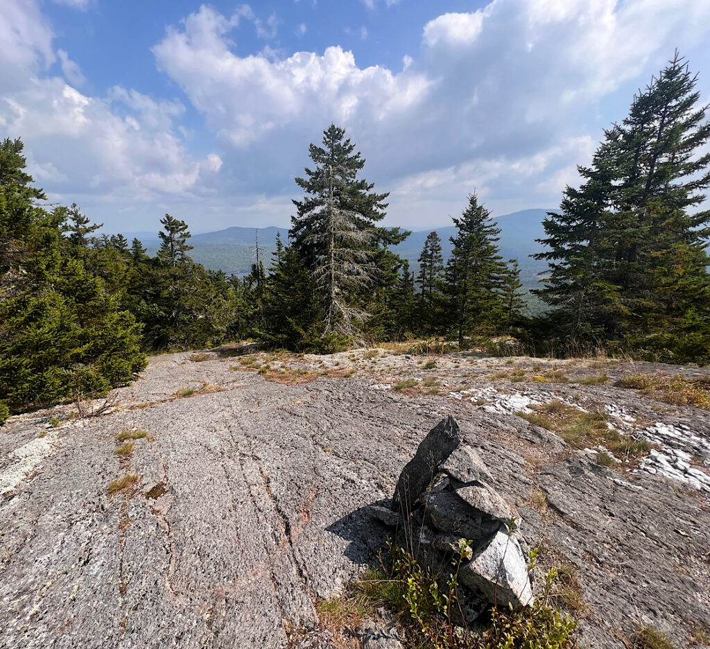
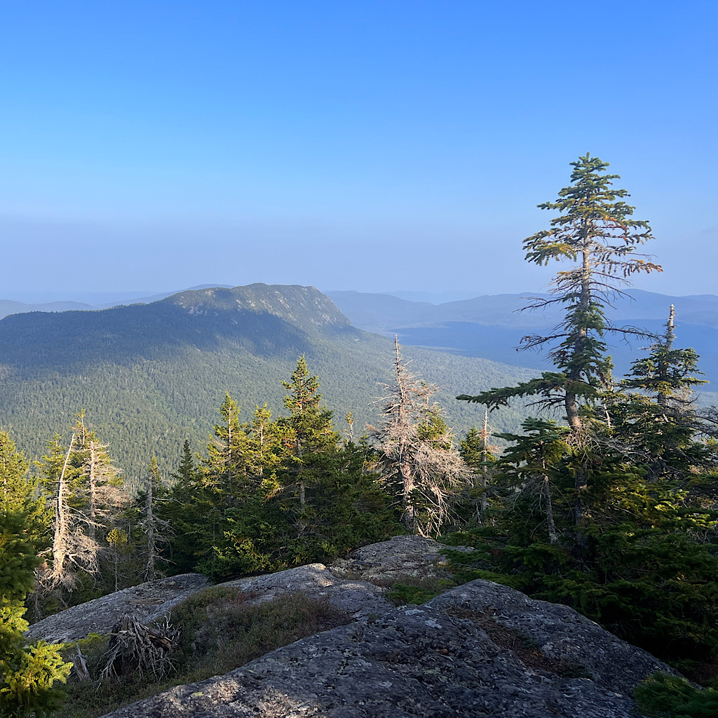
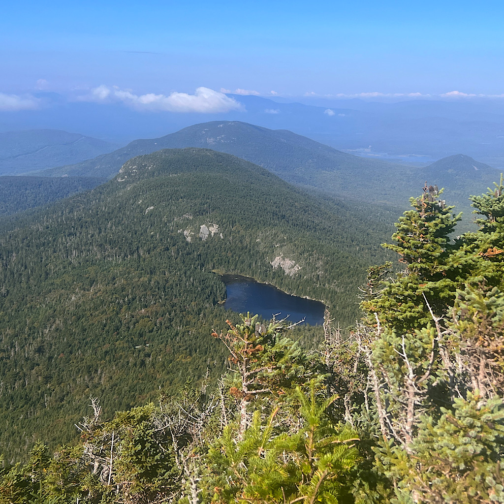
The trail reaches bare rock and my feet hold like suction cups as rock cairns guide my steps through the krumpholz – stunted pine trees like bonsai. Views open to extensive ponds and tree covered mountains.
The actual summit is hidden in a balsam-soaked forest. I move up and down to navigate this wide ‘flat topped’ mountain. As I begin to descend, I see the two horns of the main Bigelow peaks, Avery and West Bigelow, and am shocked at how far away they are, and how much higher, nearly another 2,000 feet.
But first I have to go steeply down. I cross a rock shelf seemingly suspended in space. One false step and I’d be off the ridge falling far below.
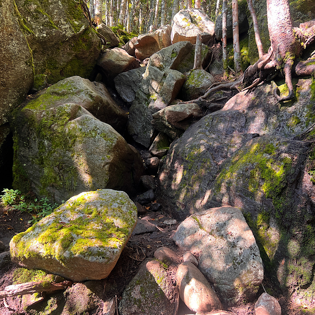
Mostly, I am deep in forest descending on boulders. This is what makes the AT incredibly challenging. Every step has to be carefully negotiated so you don’t slip. Accidents seems ready to happen, plus the rock is wet.
I meet a hiker and ask about the water. He tells me the spring is stagnant pools and never saw any running water.
I know he’s not entirely right and just wasn’t looking. In the shared hiker app “Far Out,” people recently posted success with running seeps.
But first I have to get down this tough section. Small bits of joy appear as dirt trail, but mostly it’s all care and focus. I’m running out of steam and not sure I can press on much further, though forecasted thunder showers crowd my thoughts and I know it would be best to get some of this ridge behind me today.
Finally I reach the wee seep. It’s trickling water which has created a tiny pool. I carefully scoop it and begin filtering it. Nearby is a handy fallen log where I sit and eat checking my map to see if a climb up Avery makes any sense this late in the day.
Just then, two NOBOs arrive – Barbie (the guy) and Treats (the gal) They’s ‘slackpacking’ carrying just the day’s needs and will puck up their packs at Flagstaff.
I ask them about the ascent ahead. Barbie says he loved it and there are so many views. Treats says the rocks didn’t make her cry. They both tell me to go for it.
The mileage is only 3.7 miles but it’s 2,000 feet of ascent. And with rain coming, I gotta go for it. As I pass the campsite below I’m startled by how high above me the mountain rises.
The first section works its way through monstrous boulders that sheared off the mountain’s rock face. Covered in bright green moss, they hang in precarious cantilevered positions. I don’t expect them to fall now, but I make a small prayer as I climb beneath them.
It’s steep and rocky, some places requiring my hands to step up. Trees and roots seem to have placed themselves just where I need them.
I meet hikers coming down who say it should be gorgeous up there, but I don’t stop to chat knowing it will be pitch dark in three hours.
My breath is steady but heavy and I’m exhausted now but determined. There’s a spring at the campsite just below the first peak.
I reach Old Man’s Head and drop my pack to walk the wee spur to a view looking back at Little Bigelow. I’m already far above it, and shocked by how high I’ve already climbed.
When I turn around, I see Avery’s summit farther and higher than I expected. It’s just under a mile, but steeply up. I keep seeing clearings and certain I’ve arrived, only to find it’s a false summit.
Up and up I go, slow enough to breathe steadily and not tire out. At one boulder, I do some fancy footwork to climb over, carefully steadying myself on an exposed bit. All those yoga balance poses have paid off.
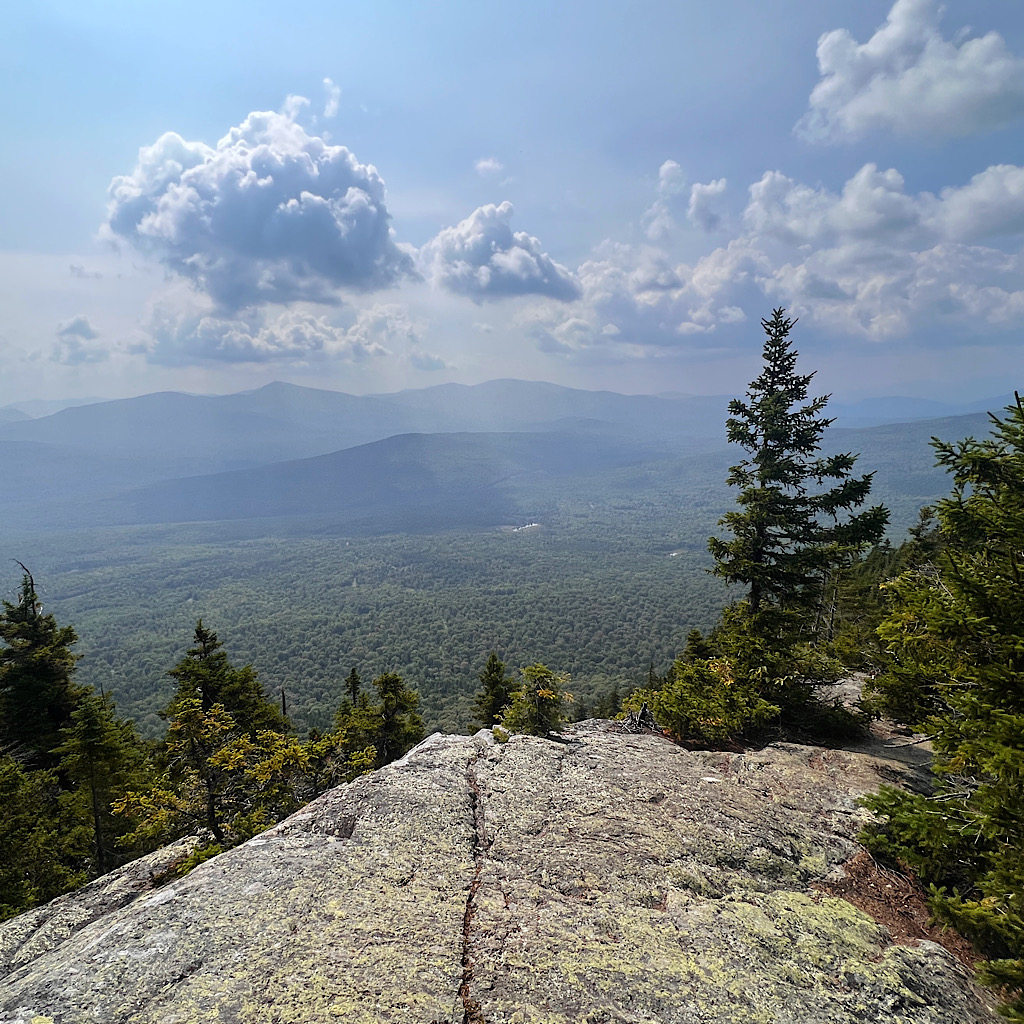
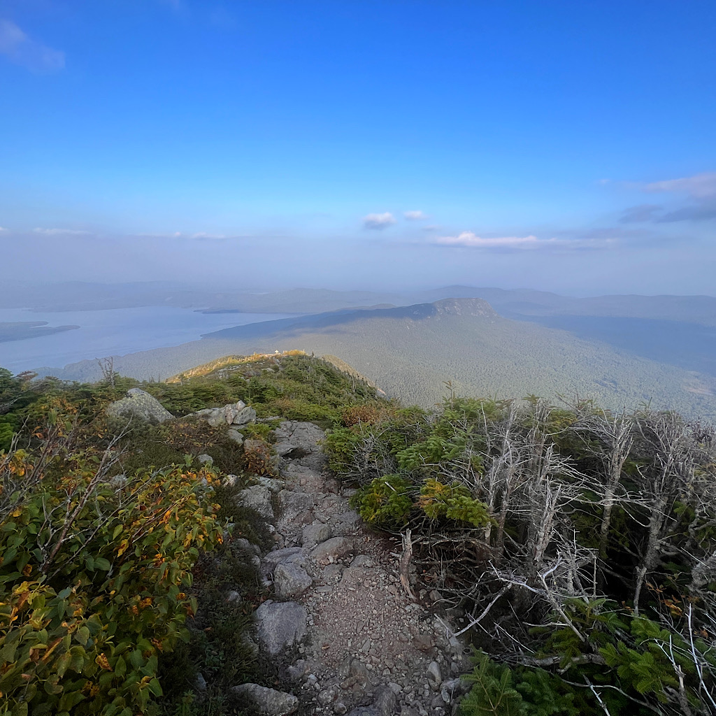
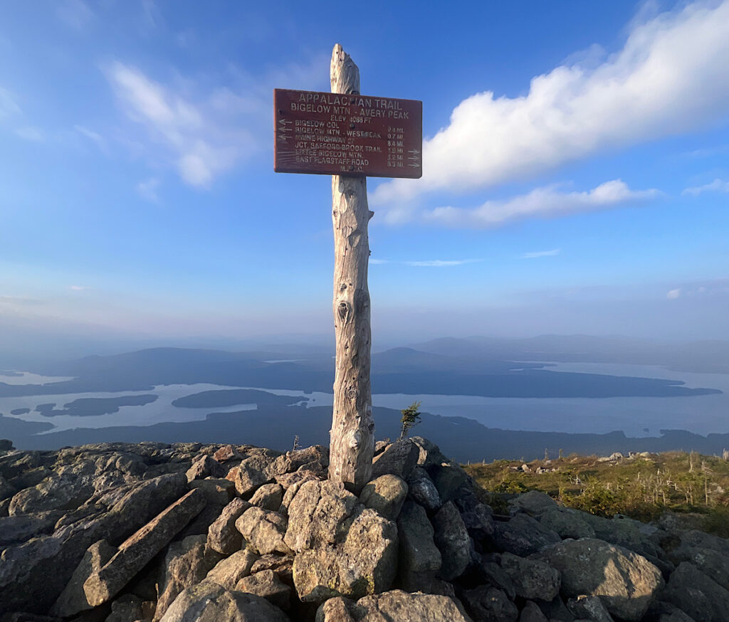
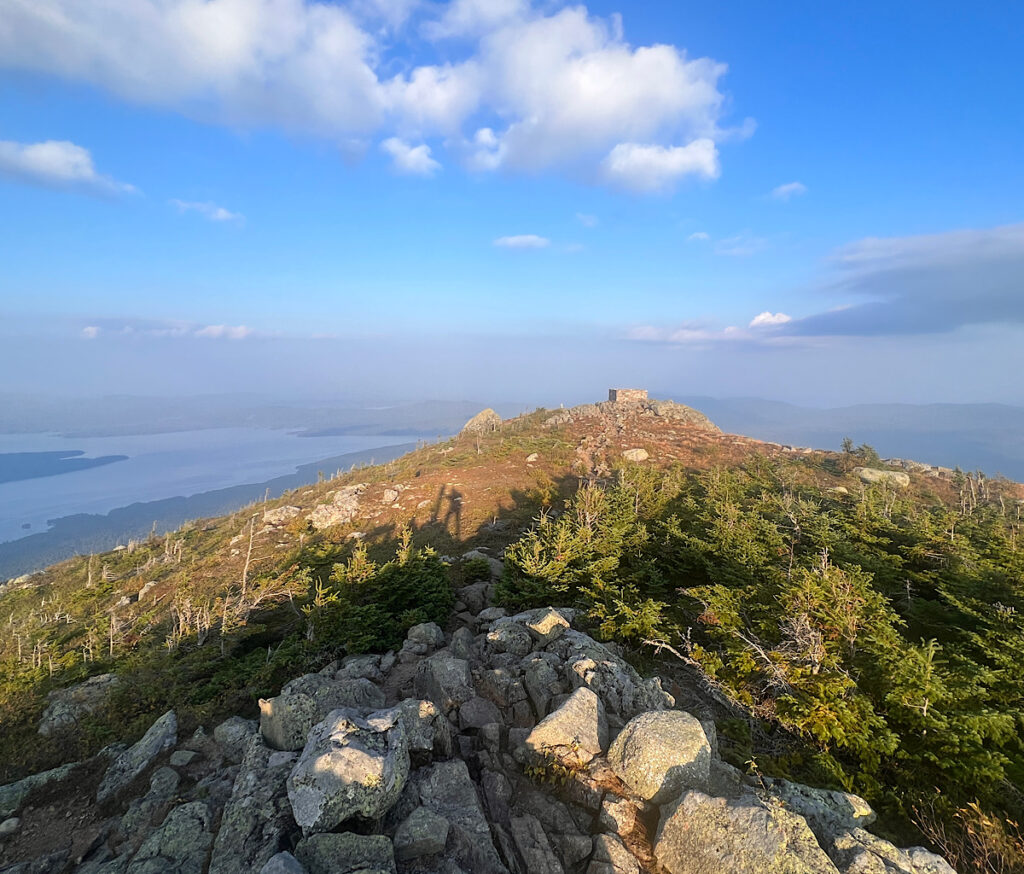
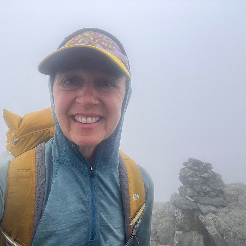
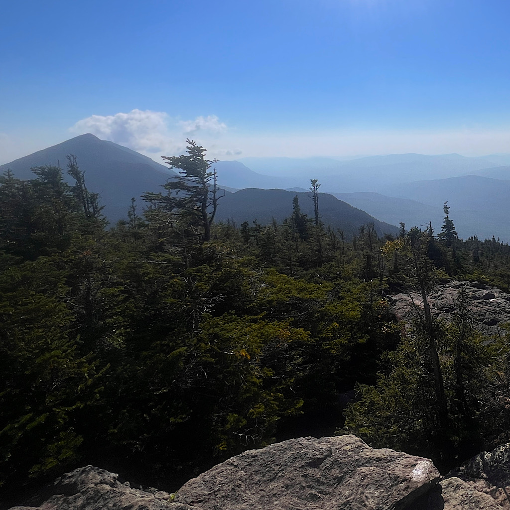
At last the trail reaches tundra above treeline and the views are breathtaking. I walk a spine to reach the top where a stone safety shelter sits all alone. The peak is named for Myron Avery, the architect of the AT and the one who got it through Maine.
The views are astounding of ponds and peaks. I can hardly believe I climbed up here. I am one determined hiker, and way more fit than I though I was.
I take pictures and breathe in this dizzying accomplishment before descending to the col where the campsite sits.
At first I wind through Krumholz where signs ask that I stay on trail to protect the fragile alpine plants.
But soon, I hit a nasty series of rocks requiring care and calculation to descend. This is the moment, when I’m tired and the day is waning, that I could lose focus. So I double down and move carefully.
It’s a half mile to the col with views to an even higher peak I’ll climb in the morning. I arrive before dark at a caretakers cabin where tent sites on wooden platforms await.
Two men are here and guide me to water and I move fast to cuddle in before it goes completely dark. I can’t see stars from here, but I hear wind whistling through pines and will fall into a deep sleep in no time.
day three, Bigelow Col to Maine Route 27
The wind blew through the night and kept me relatively cool. Everything feels damp from sweat and humidity and I’ve developed a bit of a heat rash on my thighs.
It’s quiet in my wee flat spot high up here. Three other men are camped below and one leaves just as I awaken.
I’m so glad I pushed further for those soulful views last night as the sun started setting, but I am wrecked.
It always cracks me up when people ask about mileage and I have to remind them no mile is created equal. This straight up, straight down on rock piles is hard core. I imagine some people move fast but not me.
The fog is thick but I want to get started anyway so I’m off the ridges before thunderstorms. I crack up immediately on large stair-stepping rocks, a rooty handhold appearing often just as I need it.
The wind is just strong enough for me to put on my hood so my hat won’t sail away. Once I break out of the trees, it feels spooky and alone.
I guess none of ‘the best views in all of Maine’ right now, but I got those yesterday, realizing I made fun of the name ‘pond’ for what is really a lake and I had that all wrong with Flagstaff Lake. It’s enormous and reaches in an arc all the way around the Bigelows to Stratton where I’ll sleep tonight.
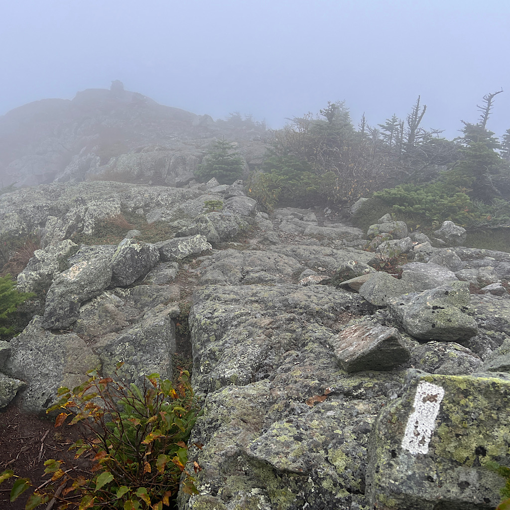
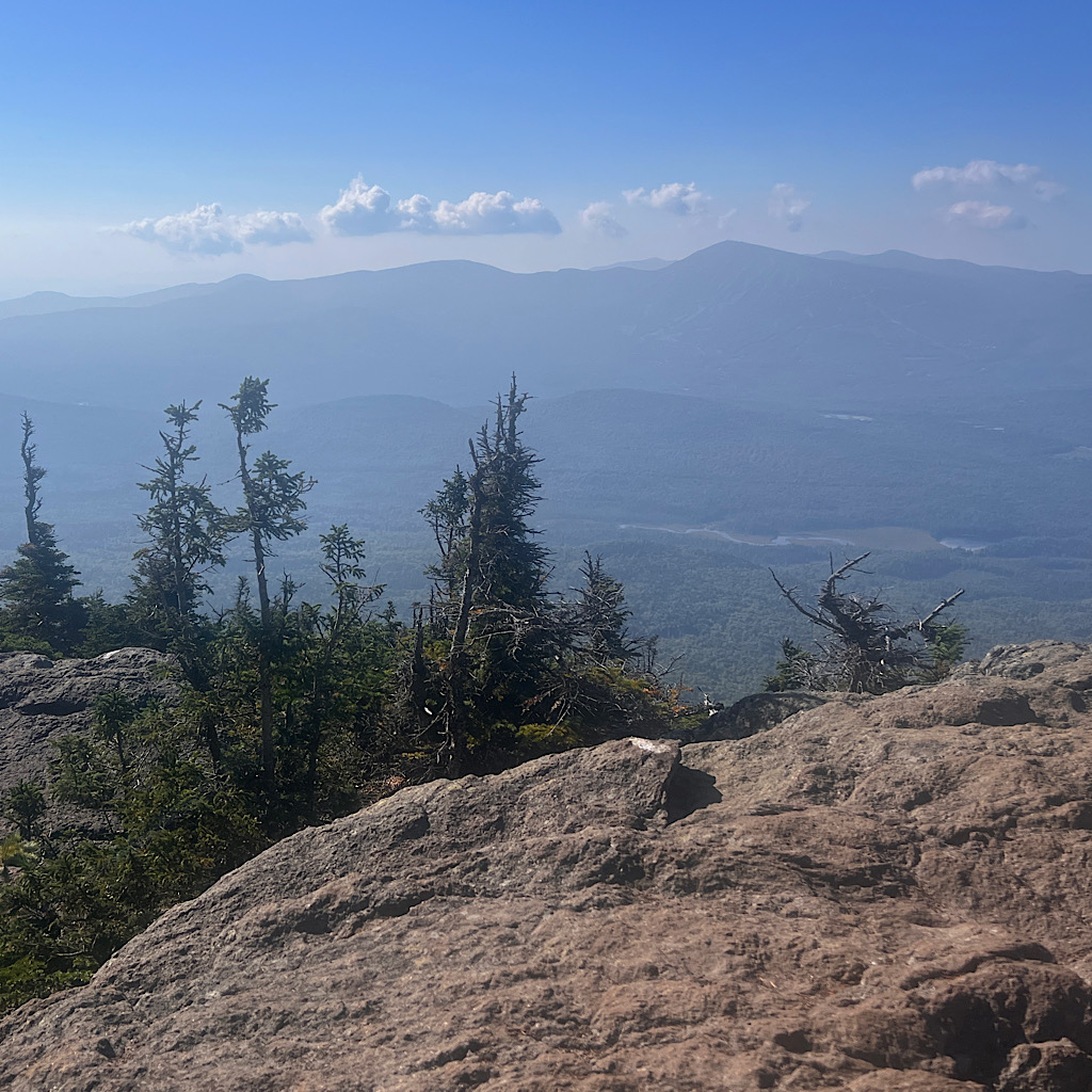
I descend slowly taking care not to trip on the rock pile. The fog is spooky but so is being all alone. I can’t imagine being up here in weather. Huge rock piled cairns lead the way should there be snow.
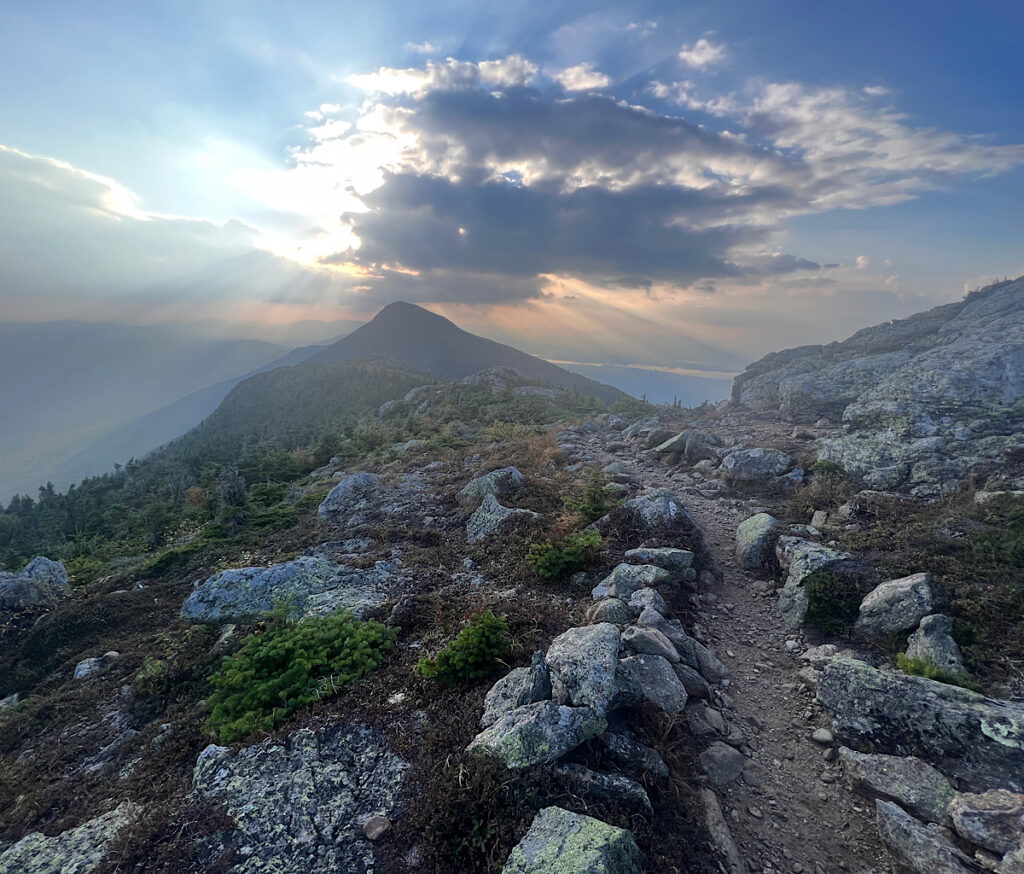
Just as I leave the krumholz, the fog lifts enough to reveal another massive peak far away. “The Horns” are ahead, lower but still a climb. I’ll have a few miles of scrambly trail before then.
It’s hard going in a shoot of rock between dense forest. I begin to meet hikers working their way up. Many of them walk the entire ridge in a day, those these wear full packs.
They promise ‘cruisy’ walking soon and they’re right as I reach a magical forest of bright-green mossy boulders and Witches Hair hanging off pines. The light peaks in, glowing yellow.
It’s only two miles to the next mountain, but slow going. ‘Cruisy’ is just a comparison word. But soon it’s a slog up. I’m breathing heavily and tiring but this is much easier than the controlled falling of a descent.
South Horn has only a wee summit area barely in shade but I guzzle down a liter looking back to the two giant pyramids I camped between. Giant, far, inconceivable.
Below I spy the Horns Pond where I’ll get water and have lunch. Again, the distance below is hard to imagine and I feel directly above it. On the Appalachian Trail, there’s no such thing as switchbacks.
It’s like a roller coaster when you reach the top and feel you are going under as the view disappears ahead. I approach the descent and it takes a moment for the puzzle to reveal itself.
I’m holding up well and strong but feel nauseated. Is it the milk powder or poor nutrition? Am I drinking enough?
I finally reach the shelter and signs are posted everywhere to stay on trail and keep your dog on a leash. The pond itself is gorgeous – wild and full of life. I imagine it got pretty beat up for a while there with people washing their dishes in it.
I sit on a rock looking towards a cliff and its perfect reflection in deep blue. A huge black dragonfly hovers in front of me checking me out. No moose now but this is definitely their stomping grounds.
It’s hard to leave and I think back to Andrew asking me about just camping for a week by a lake. Maybe I could become a sort of Henrietta Thoreau instead of beating myself up hiking.
I leave this beautiful place taking its soulfulness into my heart, then climb up one last bump for a view down on the pond.
From here, it’s a very long descent and the day has gotten hot and humid. Water should be ahead but I’m sure I’m not drinking enough for a day like this.
I meet a couple struggling on the boulders. We chat and I share beta on the col campsite where they’re headed. I carefully place feet and hands, sometimes butt, and scoot down finding a trickle of water pushing through the rock.
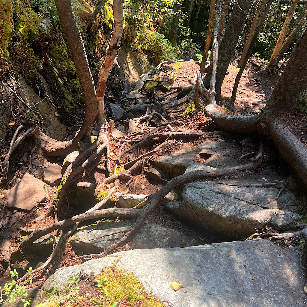
The woods are lovely, just endless and I’m ready to get down. But that is miles away, from pines into thick deciduous where the rock gives way to dirt, far easier.
I stop again to filter water from a stream. I hang my ‘dirty’ bag of water and filter with the screwed on ‘clean’ bottle to let gravity do the work, finding a perfect spot on a sign telling the northbound hiker they’ve reached 2,000 miles.
And I have reached 188, 37 on this trip so far. I’m hot, thirsty, exhausted but proud of my accomplishment.
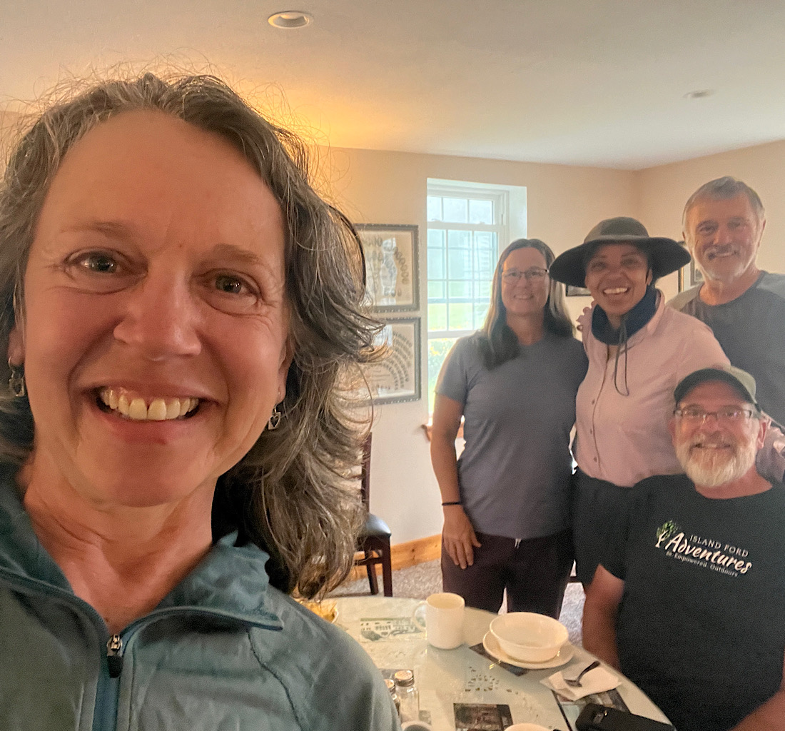
I call a local hostel, Maine Road House, in Stratton. Two women both named Jenn were sick of their jobs and life in the south and bought the place. I had intended to stay here in June, but headed home for surgery.
One of the Jenns and her sweet dog pick me up at the lot on the main highway. When I remind her of who I am, she remembers me and says I look good.
I immediately begin crying.
That’s when she decides to get me a gatorade and banana, then offer to put me up in their motel all by myself.
There’s a kitchen, couches, a bathtub with epsom salts and air conditioning. She even suggests she take me to the trail tomorrow morning and I slackpack eight miles over another 4,000er.
She must have read my mind.
The storms never came today but the sky is getting darker and giant clouds sail over the Bigelows. So far, tomorrow looks cloudy and hot, but I look forward to a cozy sleep.

4 Responses
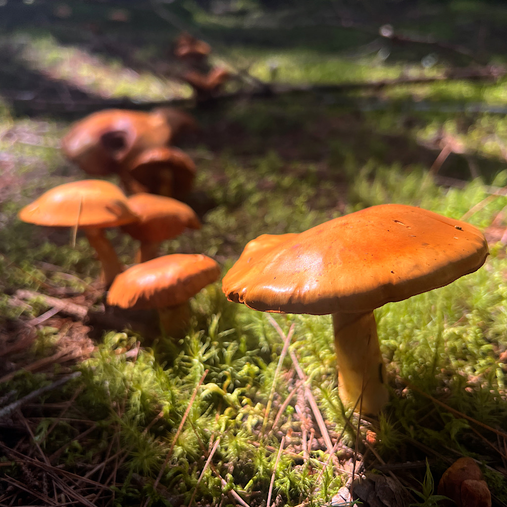
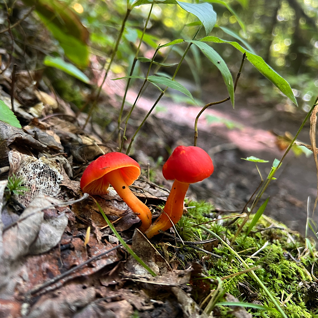
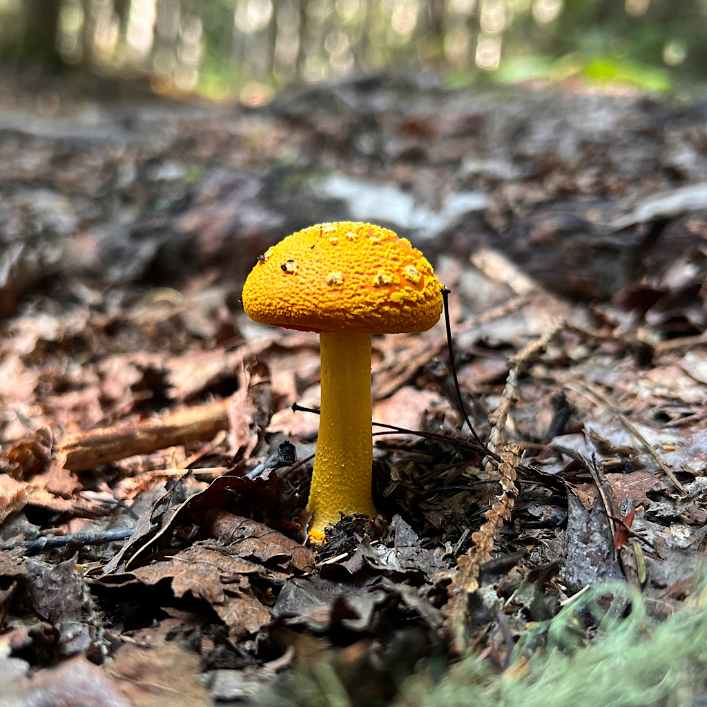
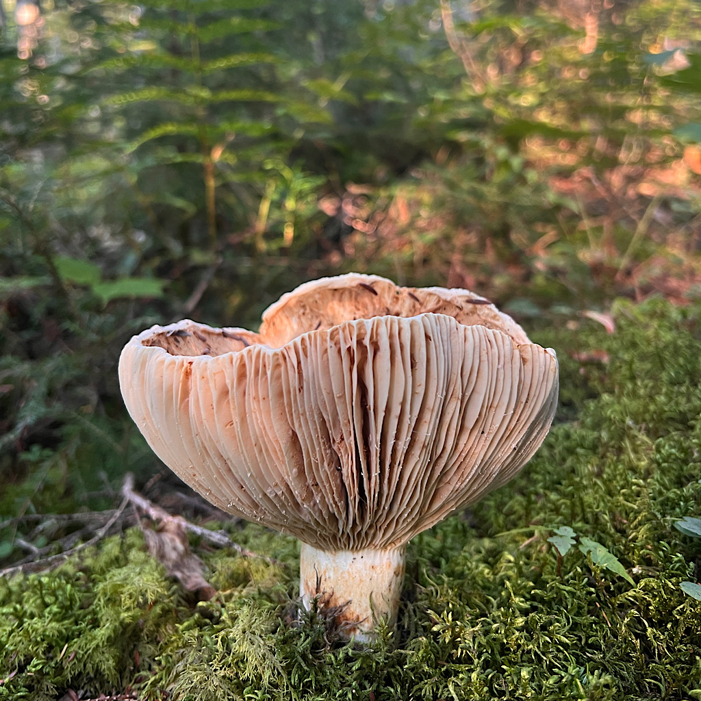
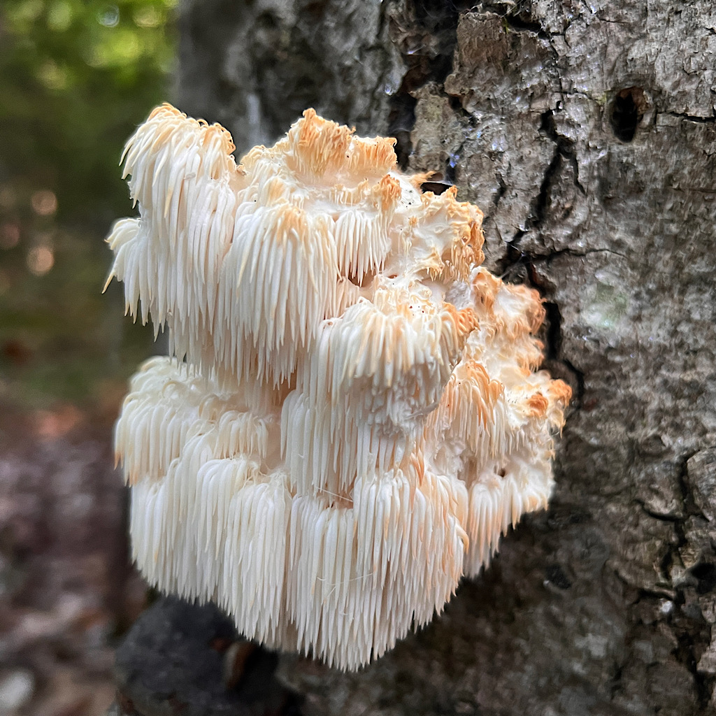
What a great bunch of mushroom shots. So unique and colorful! Just like you!
ha! ain’t that the truth!
Stay safe. You may need to hunker down for a day or so. Hurricane/tropical storm Lee is headed in your general direction. Best of luck.
I am hunkered down! Big wind and a little rain but good to take a pause and see the amazing gem museum in Bethel!