Day seventeen, 19 miles
I wake up at the Quality Inn in Newport and the “May the Fourth be with You” Star Wars Marathon is still underway.
Breakfast is biscuits and gravy, eggs and sausage and I’m lazy with my coffee until Nate comes to take us back to trail. He’s a hiker and walked the AT plus the Pyrenees High Route which I’ll take on this summer. We chat the whole way back, and he takes a bag of my warm clothes to send home.
It’s four relentless miles up right out of the gate. Spring is settling into verdant green, so the hike is forested, but the humidity is high – as is the temperature veering towards 80. I’m soaked in the first few switchbacks.
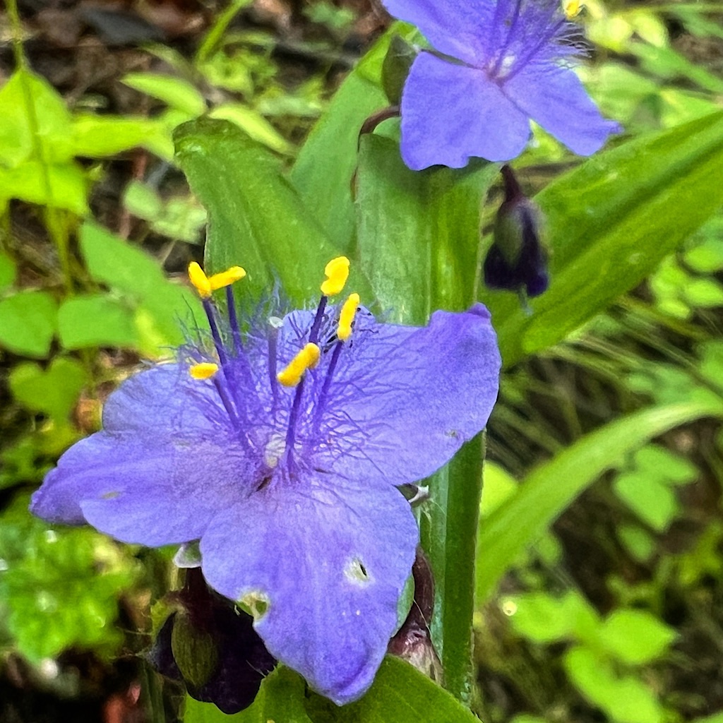
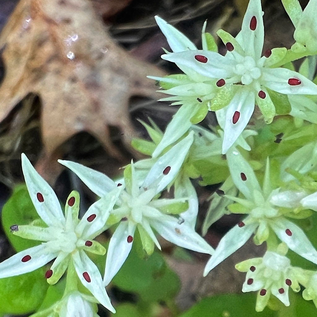
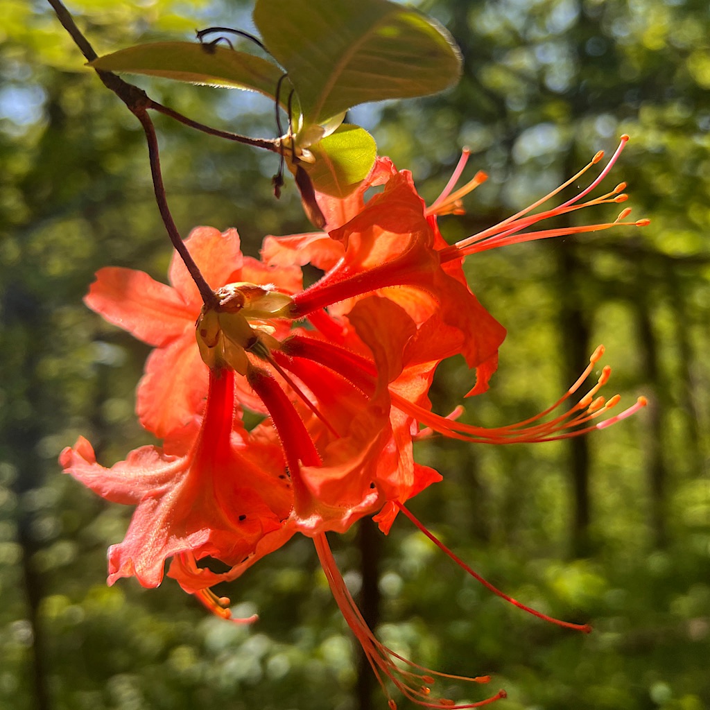
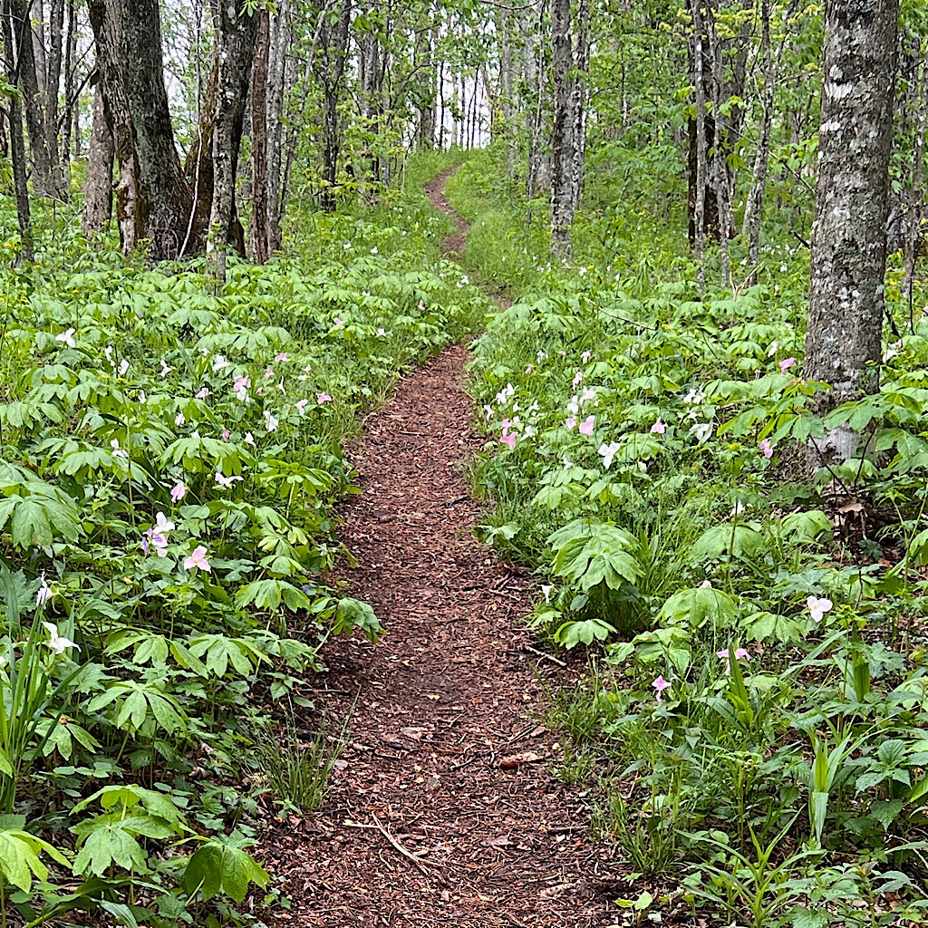
A hooded warbler builds his wee stair-step melody ending with a ta-da! Some flowers are still brilliant in here but fading fast.
As I reach the top, a trail seems literally carved out of the thick bushes. I spy Moxie ahead almost floating on the giant cumulus clouds.
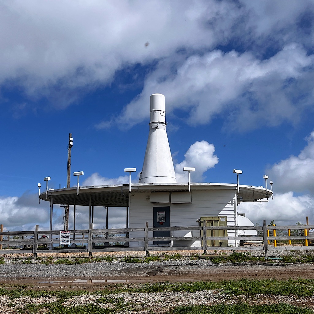
At the summit is a communication facility shaped like a bowling pin. I have to put on my head net when gnats attack my face.
The blue sky is filled with lazy clouds that might at any moment decide they’d prefer to be rain clouds, but for now I’m dry as I quickly descend to a much-needed water source.
Several hikers congregate including the gal from the Smokies who apparently fell and hurt her knee, though still seems to be moving well. Riley from Mount Cammerer loads up a bowl to smoke with Angela. I just fill up on water and try to get a picture of a wriggly brown salamander.
The AT rollercoaster continues with another big climb just as the heavens open to dump rain. I stuff my tent in the garbage bag liner and put on my raincoat, huffing and puffing uphill inside a tunnel-vision hood. The ferns, now completely unfurled, give off a fresh salad-like smell.
Over the top, the rain stops and I come steeply down to wind up for the next climb. At the start I run into Kitchen Sink!
Kitchen, or Kevin, is a young man I communicated with when I was working on an article about the oldest woman on trail attempting a thru-hike in one year. Kevin was supporting her by meeting her and driving to roads where she could arrive, be fed and sleep in a bed.
Sadly, the weather turned on them when she had less than 300 miles to go and she had to give up her bid, though she finished the next year.
We chat a few moments and he tells me he’s bern following me and says I’m “cooking!” He sort of wondered if I’d catch him on trail.
We also discuss “Trail Days” coming up in Damascus, Virginia mid-May. Moxie and I are trying to walk there. It’s doable if we keep moving. Vendors from all over the world will be there plus many, many hikers. It can get pretty wild, but worth seeing at least once.
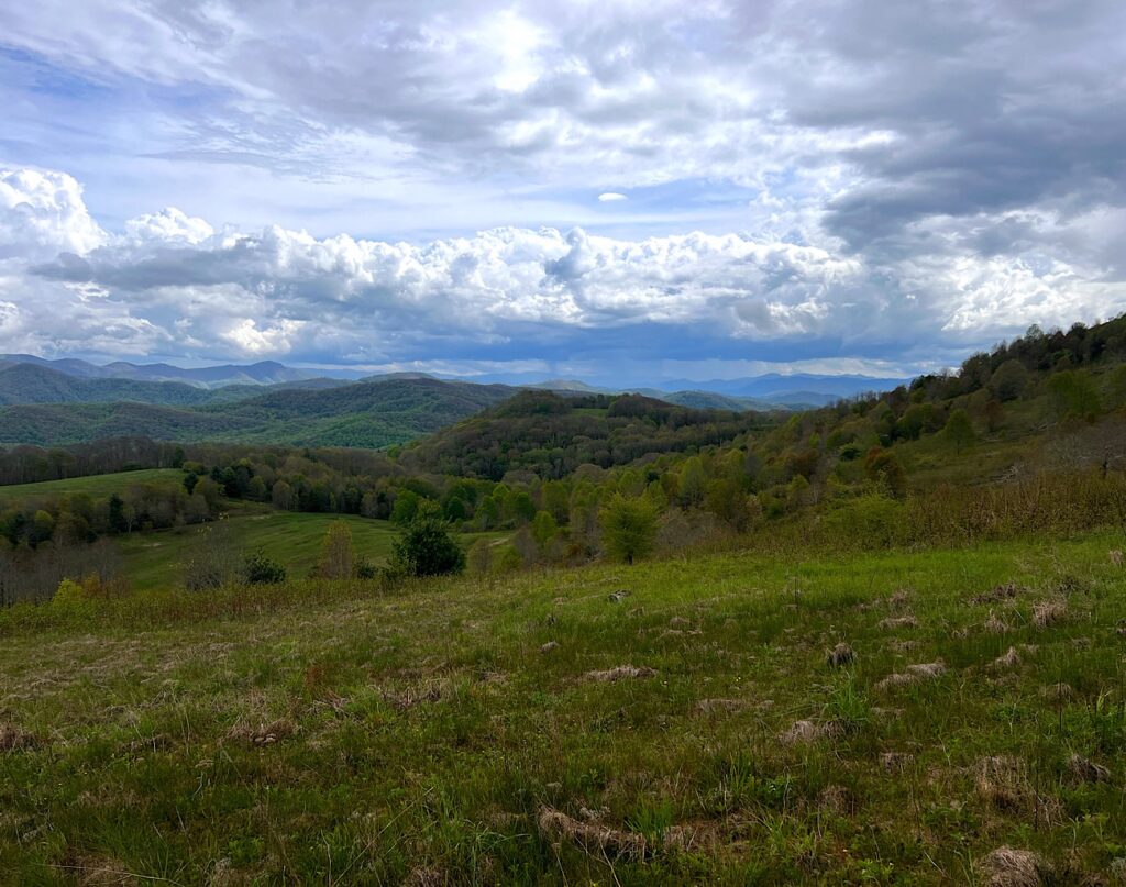
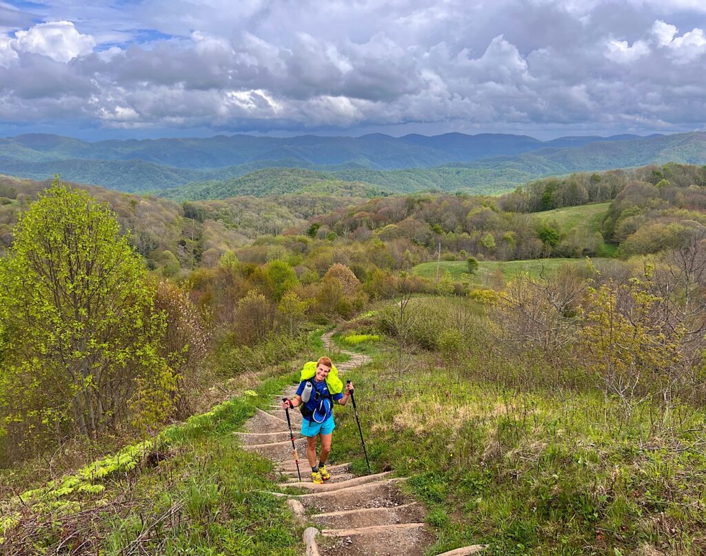
I need to move on since I got such a late start and it’s a steep climb now up to Max Patch. The patch is an enormous grassy bald with extraordinary views of the surrounding mountains. It quite literally takes your breath away (if hiking the AT) but is easily accessed by a road.
The trouble is it’s easily accessed by road. During Covid quarantine, crowds began heading up to camp and completely trashed the place. They built bonfires, set off fireworks, tossed mountains of trash and left muddy pits where they camped.
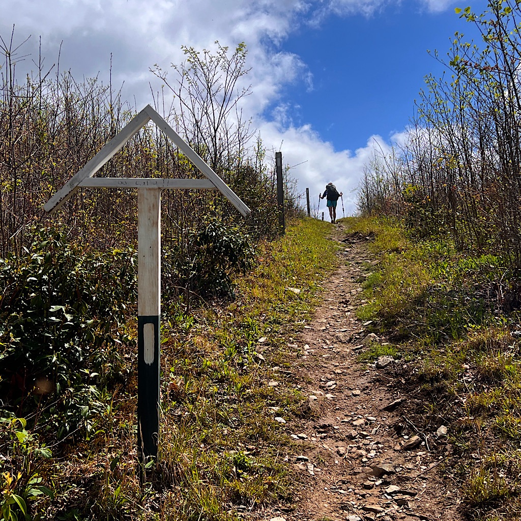
Something had to be done to save this glorious place and that was to close it completely. It was the only way to allow it to be restored to its natural beauty. Today, no camping is allowed. As well signs and tasteful split rail fences guide the walker.
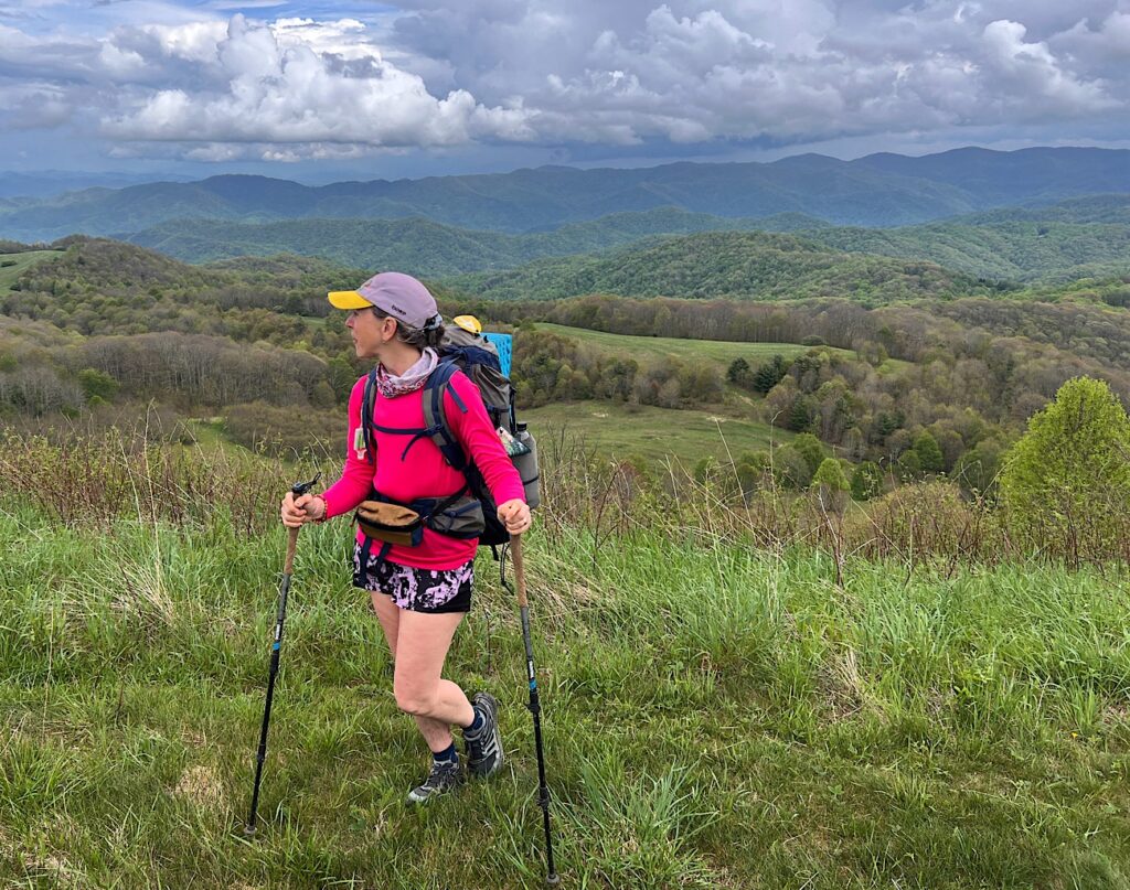
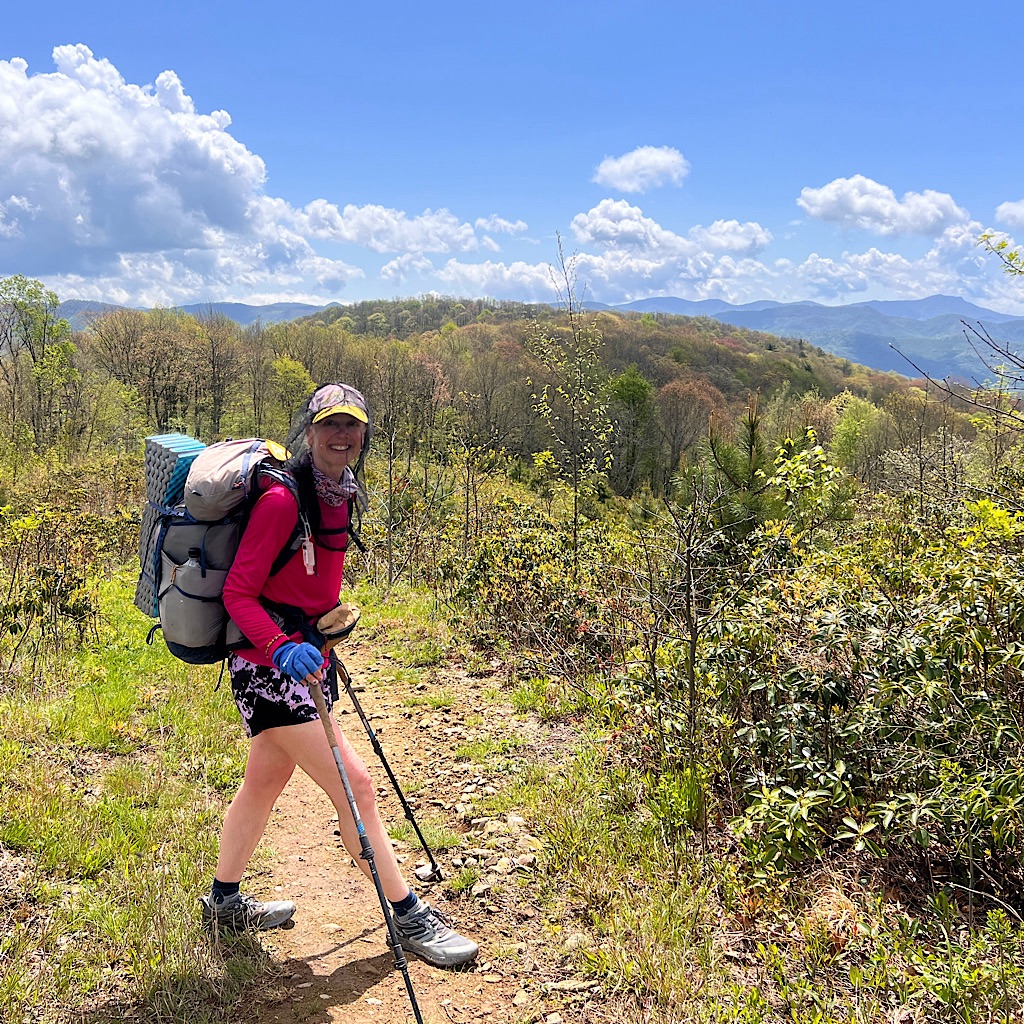
As I approach the last climb, Moxie is waiting for me. There’s a group of hikers who have slack-packed these hard mountains and are waiting for their backpacks to be delivered. She’s waiting for me to warn me among them are Tim and Bob.
Oh great.
Tim – the one who said, “With all due respect, screw you” when I asked him to be quiet during quiet hours – is decked out in a cowboy hat which only adds to the ridiculousness of his need to look tough and manly.
I doubt he’ll recognize me, but I don’t want to linger and find out. So we simply walk past the group talking to each other and keep moving.
I certainly don’t want to let a scrawny old cowboy-wannabe to mess with my hike, but we’re up in a flash on stupendous Max Patch and overjoyed with its “Sound of Music” quality and he’s down below posing, so all is well in the world.
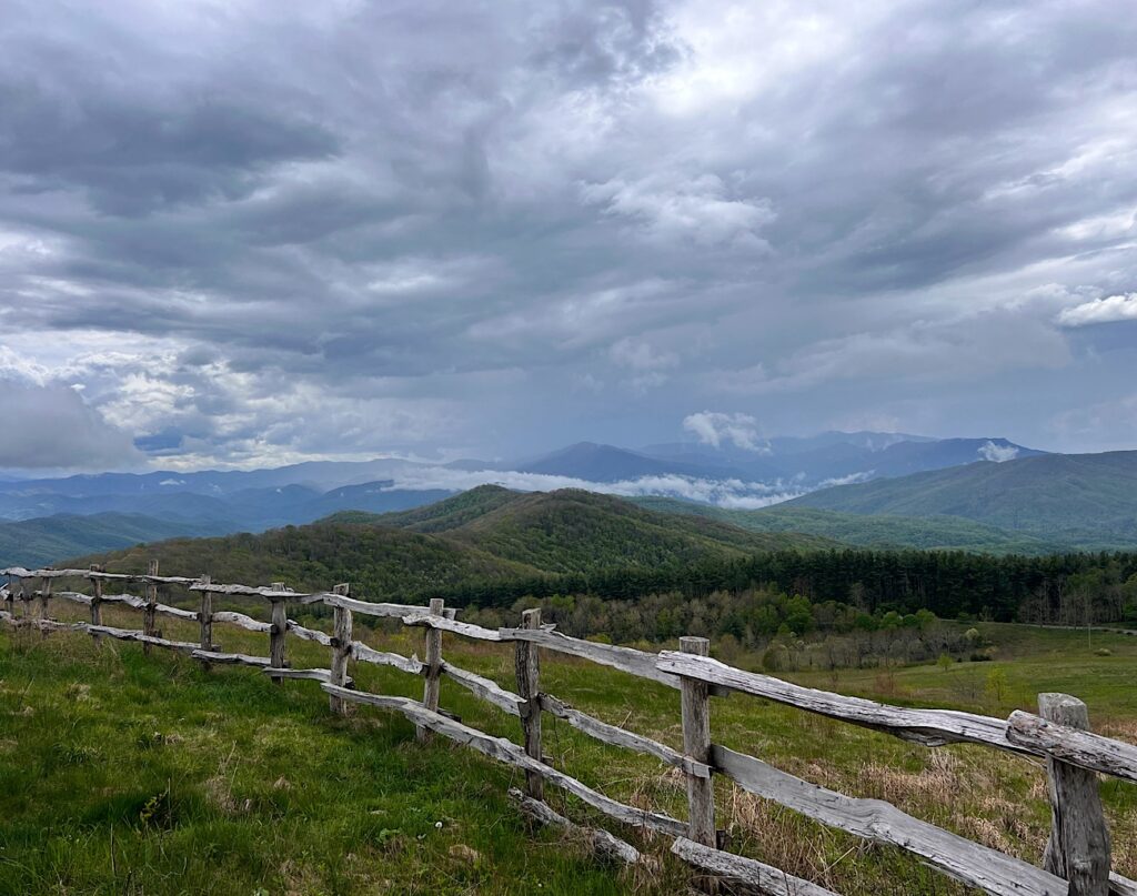
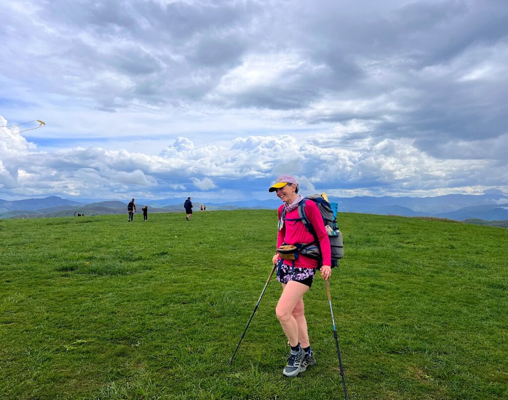
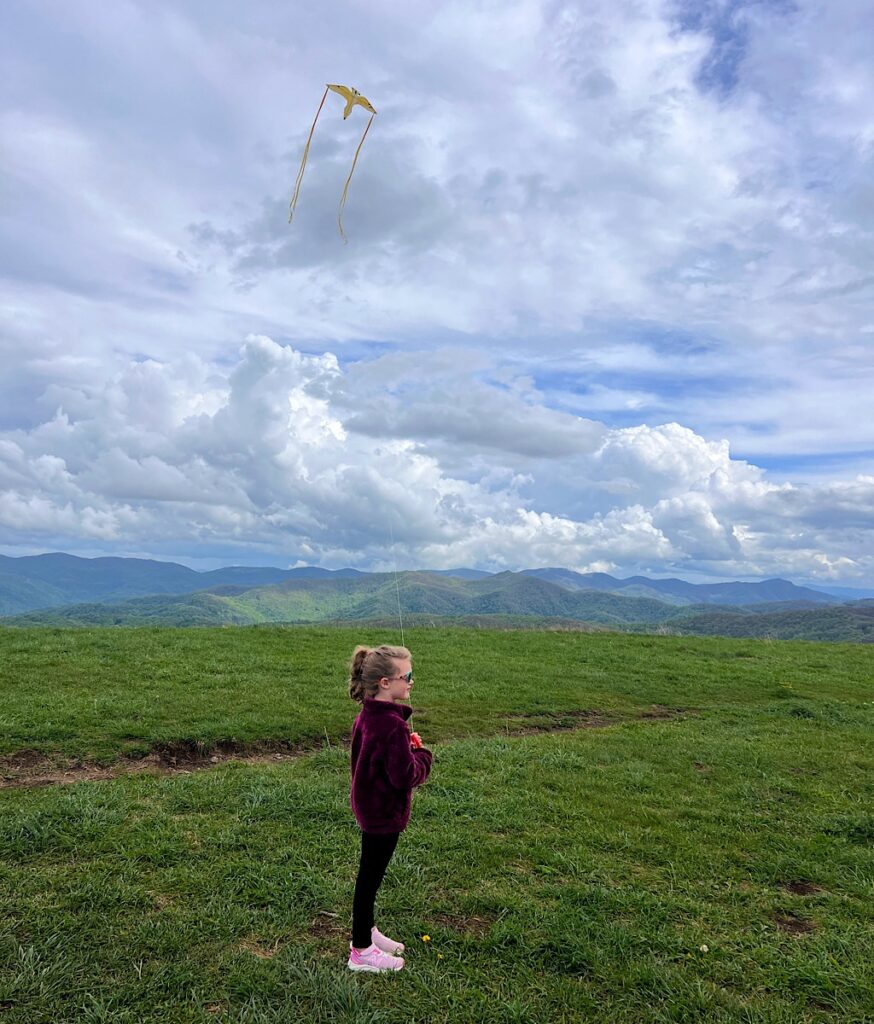
The fog nestles in the crotch of distance peaks, blue on blue. Rain appears to fog out one set, then dissipate as sun lights up another mountain. Someone flies a yellow kite and another sets up her tripod. The area is grassy and enormous, each person a small dot in the expanse.
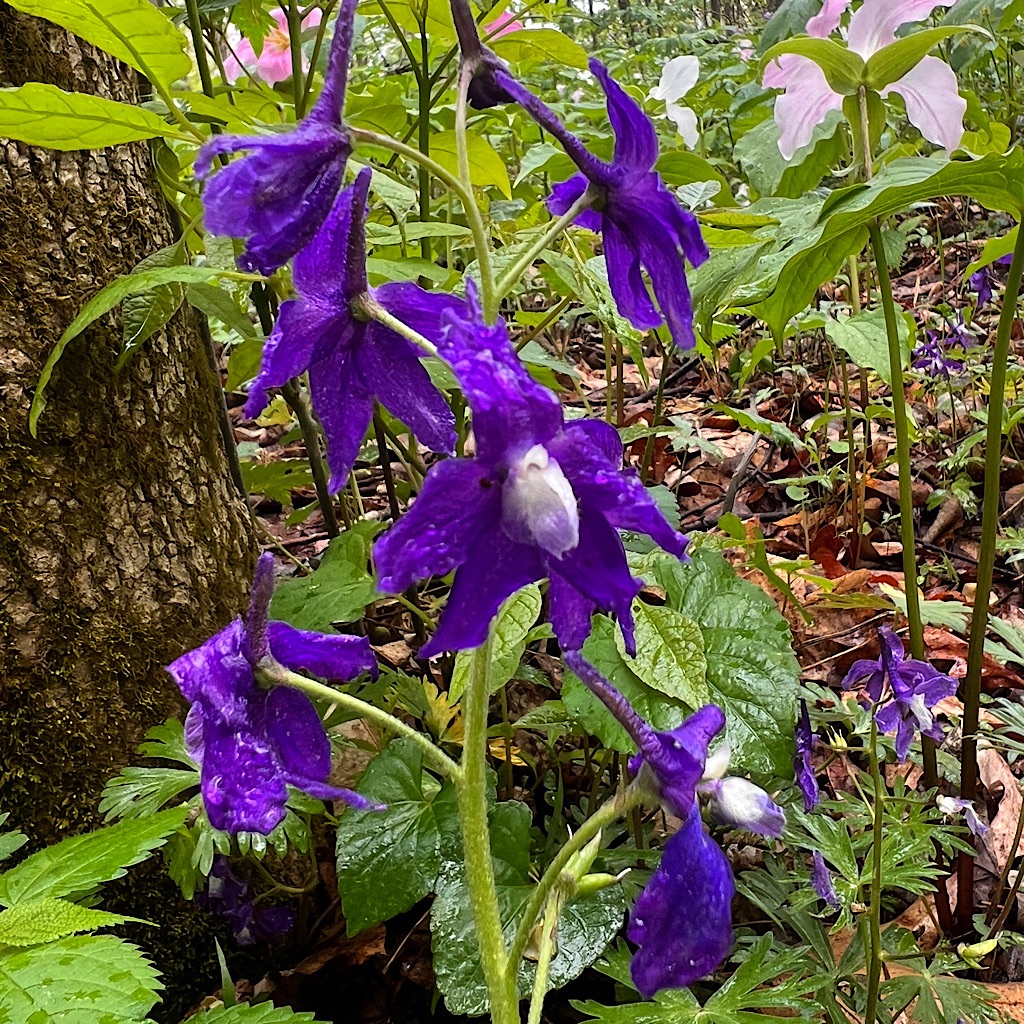
We take photos each way, looking towards spring opening up on the mountainside in lime, umber, and pink. I can see why someone would want to sleep here and watch the sky change the colors of the extraordinary landscape.
But we’re camping further on, further even than the next shelter where (we hope) Bob and Tim will annoy some other hikers.
We dive back into forest as sun rays melt into the thick trees. I hear the strange two-toned slide flute of the veery for the first time on this hike. A barred owl makes his sleepy guttural bark and two scarlet tanagers k’chang k’chang.
We find the site near two streams and set quickly, get water, eat and crawl into sleep as a glorious and strong day comes to a close.