Day Sixteen, 18 miles
I lay awake most of the night. Moxie whispers to me that we don’t these men or what they’re capable of. Once that vulgar retort spilled out of his mouth, she felt unsure and unsafe, even when another hiker camped nearby.
Nothing happens. He’s just another boomer asshat who got his ego bent out of shape when asked to show the smallest amount of consideration.
Which he can’t muster in the AM as he blasts his headlamp at our tents while packing. But to be fair, it’s mercifully quiet.
The dumb and dumber duo toddle off as I sip my coffee and we sigh with relief then pack our own bags.
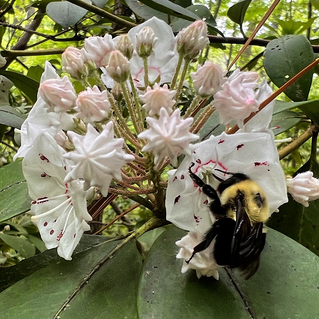
I try to veer my thoughts towards happy Smokies thoughts like the heart-stopping views, the bear and babe in the tree, millions of wildflowers in beech forests, the long catwalks on ridges I can see for miles, the wind and clouds and sun, singing on trail, my strength.
It’s supposed to be a bit of a blowout today with rain, but nothing falls overnight except small drops. It’s cool as the sky turns a sherbet orange and we climb high into mossy forest.


We pass Asshat #1 struggling to put on rain gear after the tiniest bit of water drops from the sky. He’s either distracted or never got a good look at us, so offers an innocuous “happy hiking.”
We’re moving well today in spite of so many big days in a row and no sleep. We pass a helicopter pad, then the site of a tragic Air Force plane crash though I don’t find any debris.
As we head up, we pass Asshat #2 who goes into s song and dance to explain his slow speed. I power past like he’s standing still.
I’m loving my last day in the Smokies and soaking in the lack of rain and cool breeze, but I feel
so rattled still that I’m happier once passing Cosby Knob shelter where these two supposedly will call it a day.
I gather water at the last source for sometime just past the turnoff, and something tells me to walk down the short ways to Low Gap before filtering.
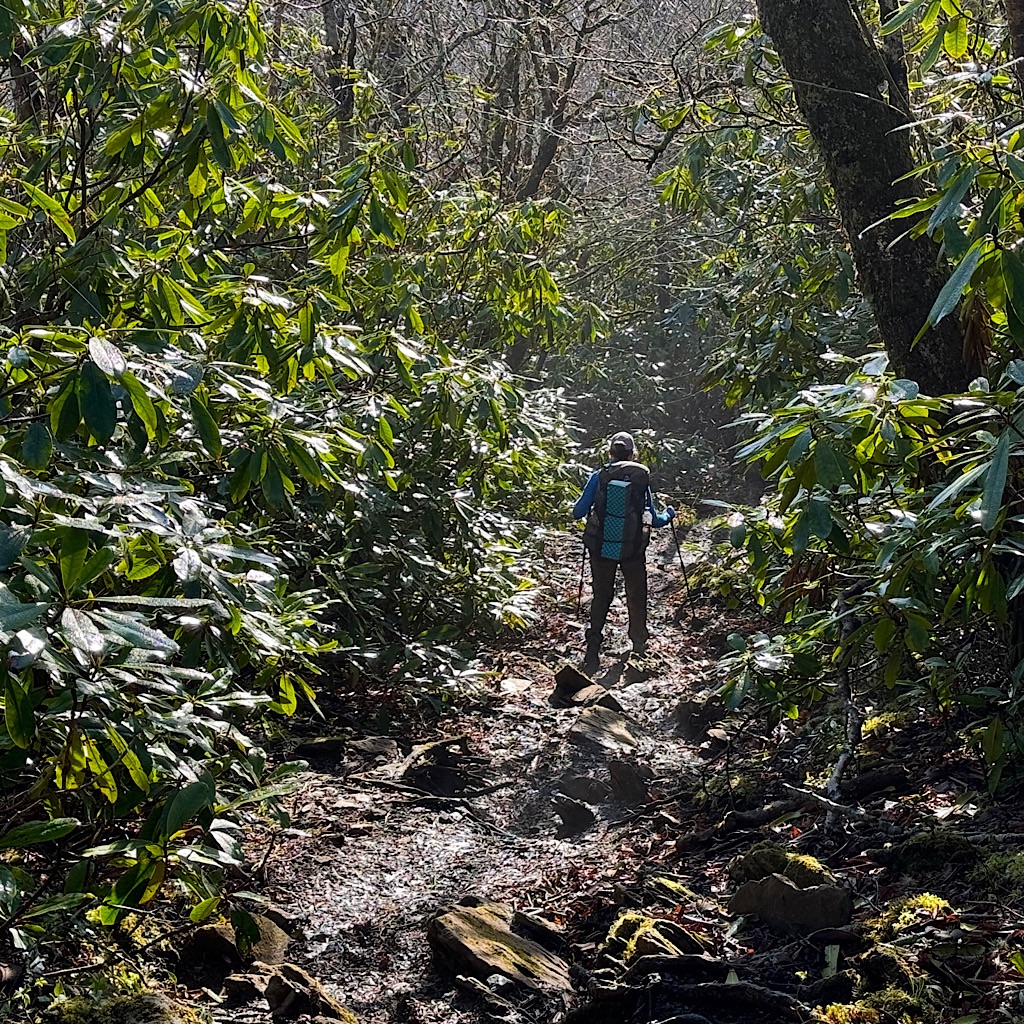
All along my walk, the trail is lined with perfumed flowers. The trees reach high as if I’m walking down the aisle of a Cathedral, though this one is curved like an arm reaching out to comfort me.
At last, Blissful is returning.
I hear voices at the gap (pass) and a small group is forming that arrived from another trail. They’re part of a hiking club in Chattanooga and will walk up to the lookout we are heading to.
I sit on a rock to filter water and eat and we begin to talk. Ah! Now I know why I felt compelled to come down here. It’s because people are here; normal, friendly, fun, considerate people.
They do ask the same boring questions on repeat: when did you start? where are you headed? But it’s a way to break the ice and erase last night.
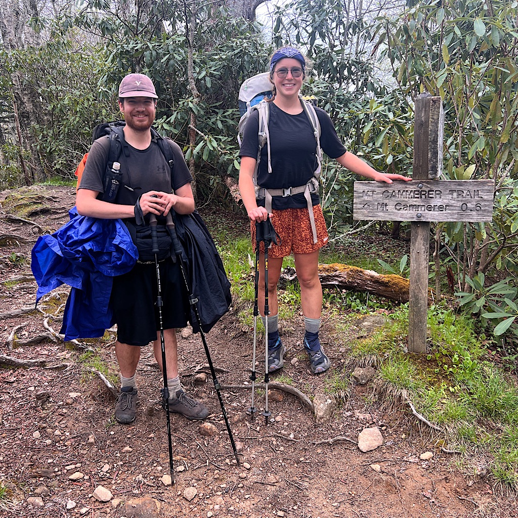
We eventually toddle up towards Mount Cammerer. Number One wanted to make sure we didn’t skip the spur to the cool lookout above, and now that we have friends headed there too, we make it a priority.
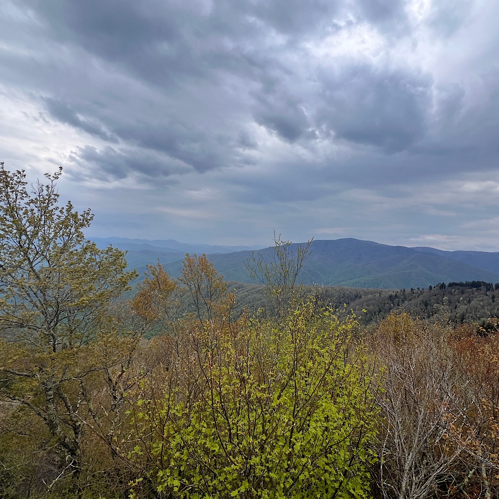
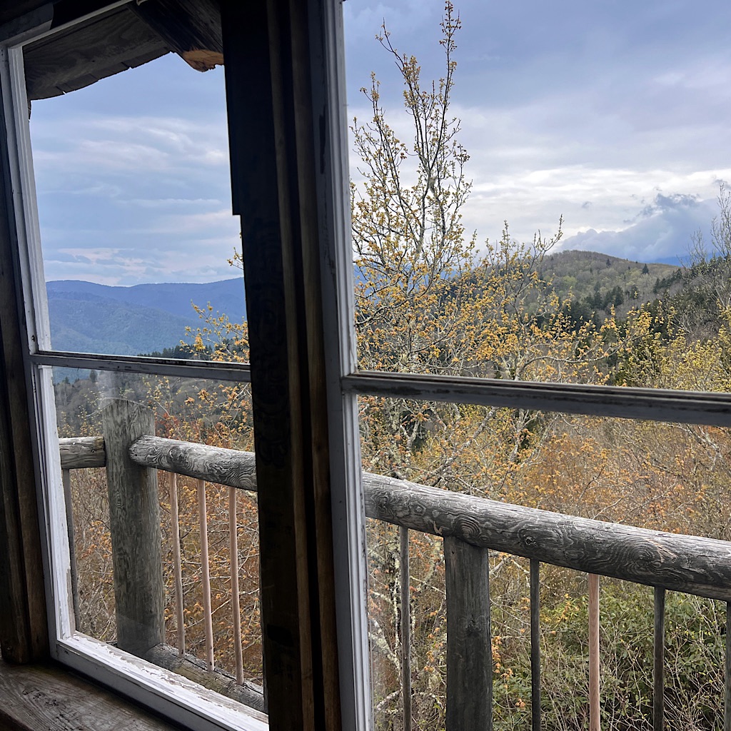
The mountains on this eastern half of the Smokies have sharp ridges that fall away in an olive drab punctuated with perfect Christmas tree cones of fir.
The up is not steep but, as always, a relentless mile until we follow a long U around to a last push up and over.
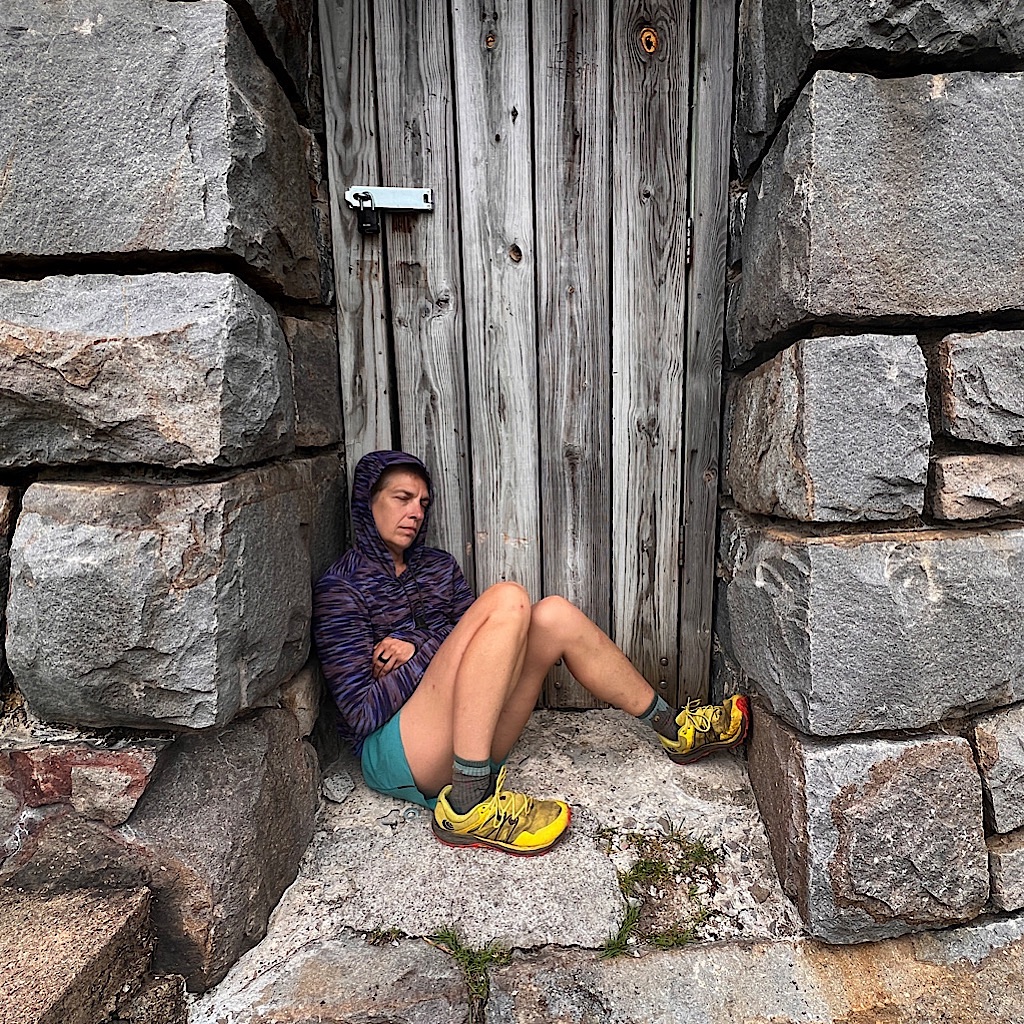
Two AT hikers – Spuds and Scatter – opt out of the added mile+ and head down, but we venture forth as s dirt trail gives way to a jumble of boulders much like every day in Maine.
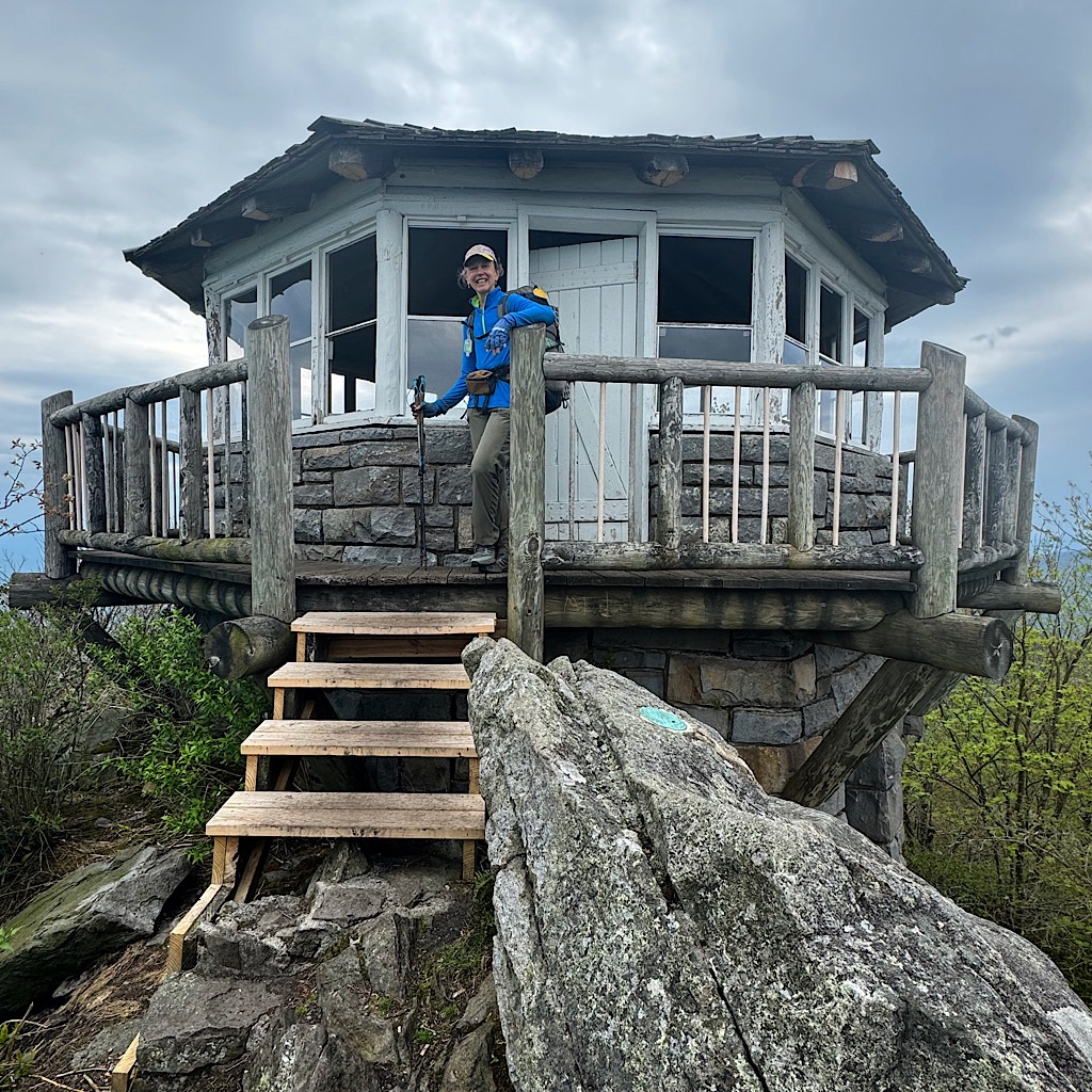
The difference between a lookout and a fire tower is where they’re placed, either on the ground or on scaffolding. Both are designed for a permanent scout to look for telltale signs of forest fire, namely smoke.
Modern fire spotter techniques have made these lookouts obsolete, and yet they’re beautiful and make for interesting destinations atop high mountains and with superb views.
This one took some doing to build since it sits on rock and each building bit needed to be carried up by hand. It’s also uniquely beautiful shaped in an octagon rather than the normal north-south-east-west square.
I climb up rock so smooth and vertical, a step needed to be permanently bolted in place. A local organization is in the midst of restoration, so several windows are missing, but it still looks stunning in a squat and sturdy sort of way.
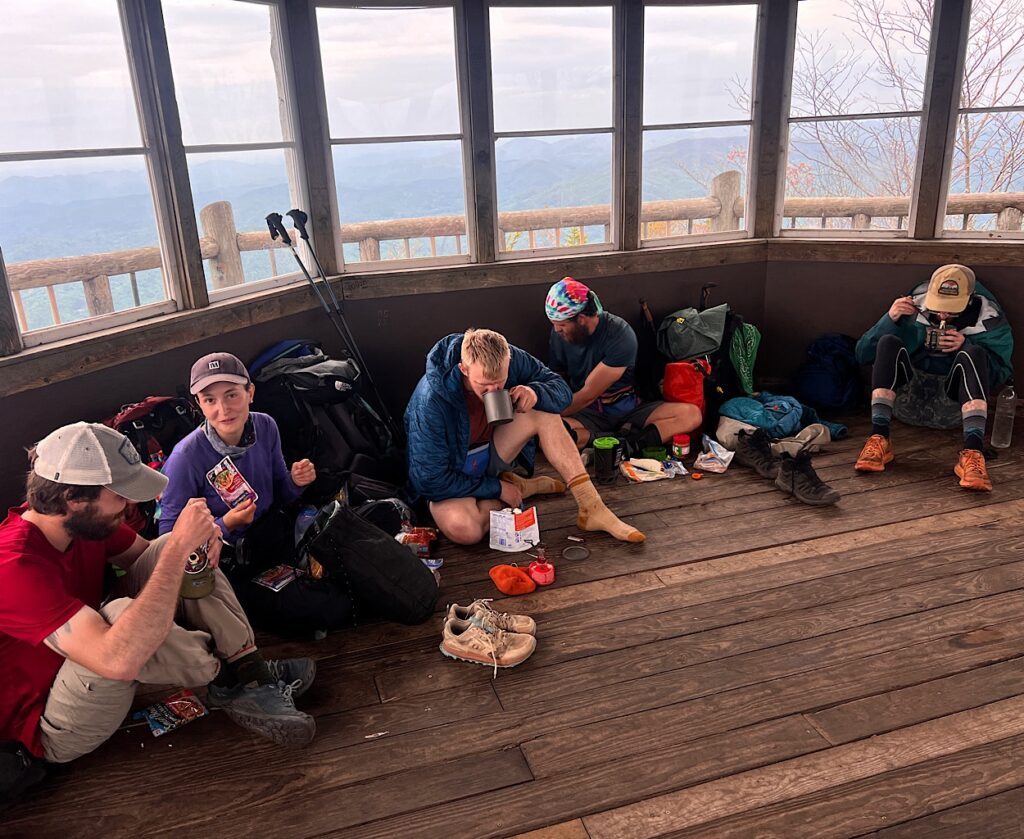
All around is decking with views for miles. As I take photos, a few more AT hikers appear, ones I haven’t met and I act as a kind of de facto host. We all start talking joyfully about this cool place and how it reminds us of lighthouses. One hiker charts out where each bit of furniture would go.
I really like these hikers.

Eventually the hiking club arrives and everyone is sitting on the floor around the lookout eating lunch. I get pictures and say my goodbyes to these wonderful mountains, then Moxie and I make the long descent back to civilization.
Our plan is to camp at Davenport Gap, then get a ride into Newport for a break. Downs are really tough on my body, mainly because it’s lost its bounce. Still I make decent time and no rain comes as we pull into the well situated shelter amidst large trees.
This one is the only one left that has a fence locking the hikers in away from bears. It’s empty, dank and spooky and there is nowhere to set a tent.
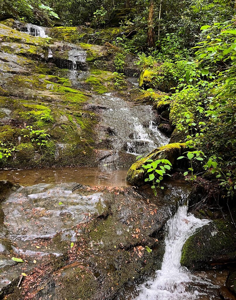
We’re both tired when I look at the map and notice just two miles ahead is a tent site right on a stream with a small waterfall. Let’s get out of here!
Moxie races ahead as I plod, some up but mostly down. I can hear air breaks on Interstate 40, but once we find the stream, the rush of water drowns it out.
Our spot is at a bend, affording ample space and mostly hidden from view. I make soaking my feet in the ice cold freshness a priority, then check in with Richard that we made it out of the park.
Tomorrow is just a short walk, but we’re both exhausted and cuddle into our tents as the rain pings the roof. I can’t imagine a better way to end this portion of the AT than this moment right now.
I’m awakened by a Louisiana Water Thrush singing a jazzy melody, doo, doo-whaa-doo-doo-doo.
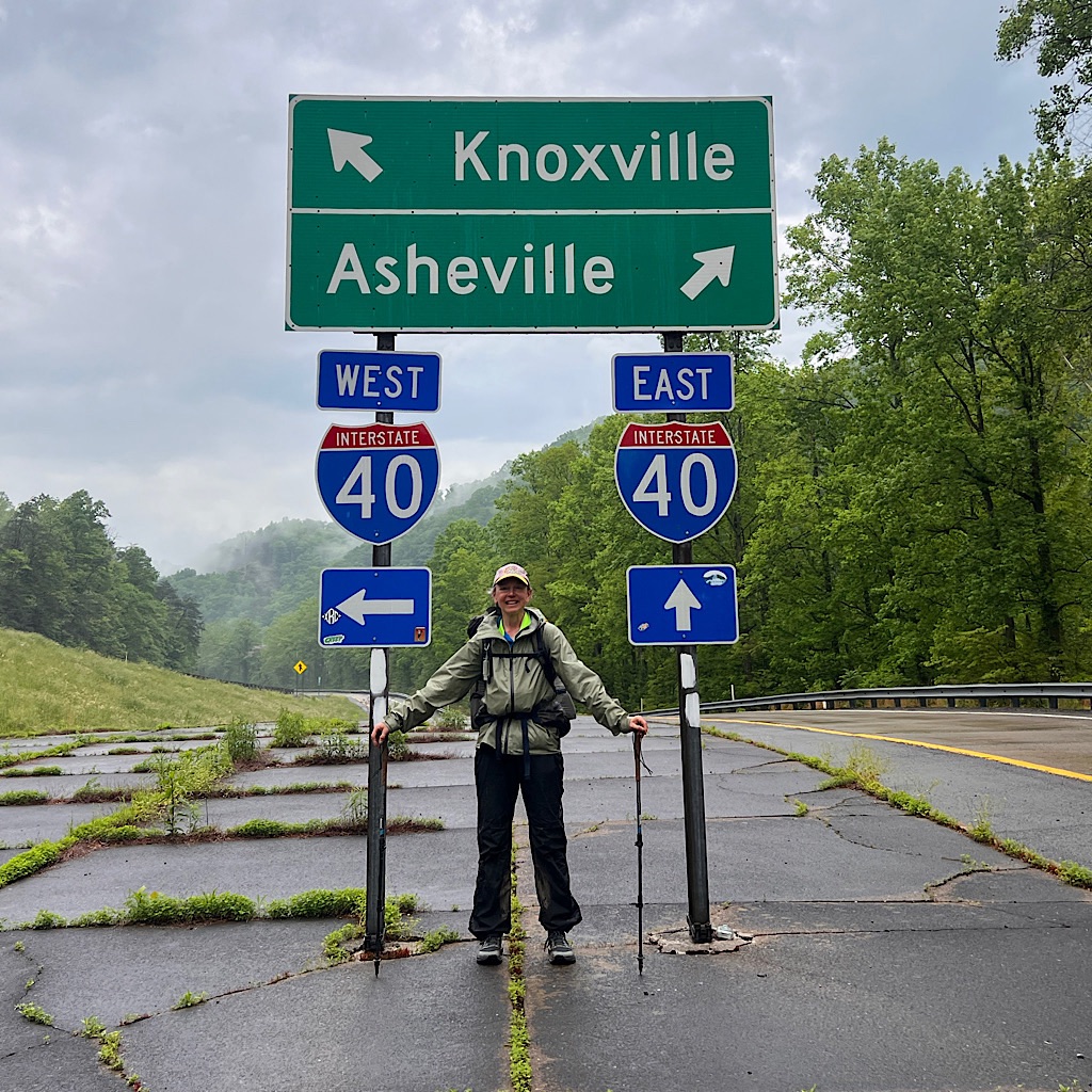
It’s a short walk out past waterfalls and under Interstate 40. We get our ride into Newport, Tennessee for supplies and to dry out at the end of this section.
Wow! 250 miles!
And then decide we might as well give the next section of 230 miles up to Virginia a try…