
Day 1, Mount Taylor Trailhead to Magical Aspen Forest, 12 miles
I initially planned to find my way to Grants, New Mexico and walk the most interesting portion of the Continental Divide Trail in the state for 100 miles to Cuba.
It includes climbing a dormant stratovolcano, forest on a high mesa and desert.
But as I planned, friends mentioned I couldn’t miss the Balloon Fiesta or the tram ride up Sandia Peak – both spectacular – so it was a packed afternoon, evening, very early morning, day and evening followed by a two hour delayed bus ride to Grants depositing me at 2:00 am.
Fortunately, I slept deeply and a late start would be fortuitous since the winds are gusting over 40 mph and it would behoove me to have a shorter day and camp just below Mount Taylor’s summit in protected forest.
The start is all road and my pack weighs a ton from extra food, extra warmth (temps tonight in the 20s) and extra water. I lumber along the road with my thumb out and nearly every car changes lanes to the inside.
Ah, well. It’s crystal clear and sunny. The wind is still light but keeps me cool.
Just ahead, an RV towing a Jeep stops in an unlikely spot on an overpass with practically no shoulder, their hazards blinking. I walk up, not able to run, and a man leans out asking if I need a ride.
Two dogs sit on the dash and I climb aboard for the one minute ride to town. I tell him I need him to turn on 1st, but he pulls ahead, stops and says he can’t because he won’t be able to turn around.
I thank them and hop out, sticking out my thumb as cars move to the inner lane to pass by. Except for Travis in a wreck of a growling car. He’s smoking and pleasant enough sharing how his sister stood him up to pack her U-Haul, so he’s headed to the store.
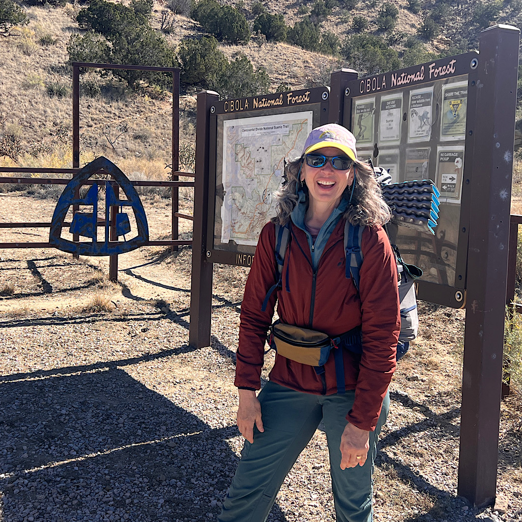
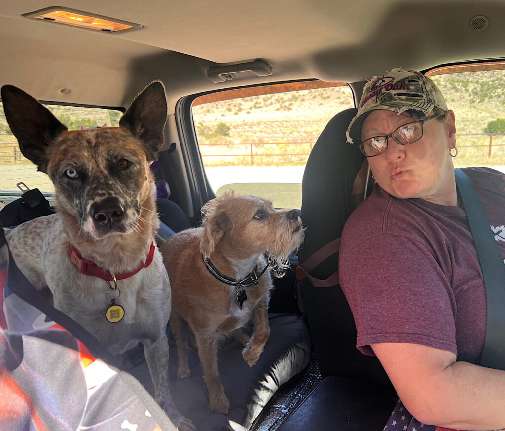
It’s the right way, but not quite there. So again, I hop out and stick out my thumb. Within seconds Jen stops, her dogs barking but then nuzzling once I pop in for the last push uphill to the trail.
Jen is lovely and takes my picture at the start then hands me a bracelet as a kind of blessing. I’m so touched and it’s beautiful with stars and beads in cats eye browns.
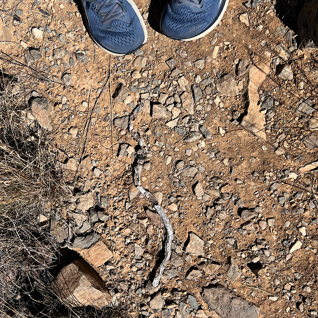
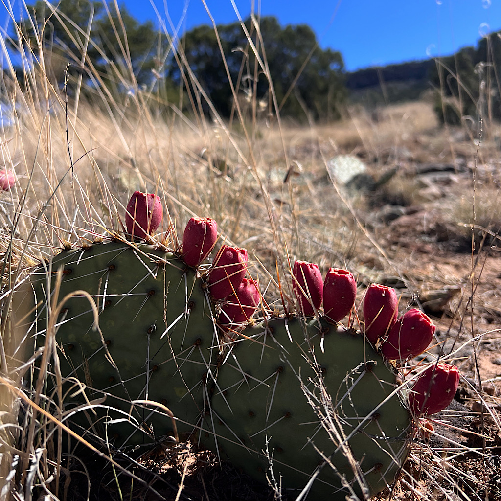
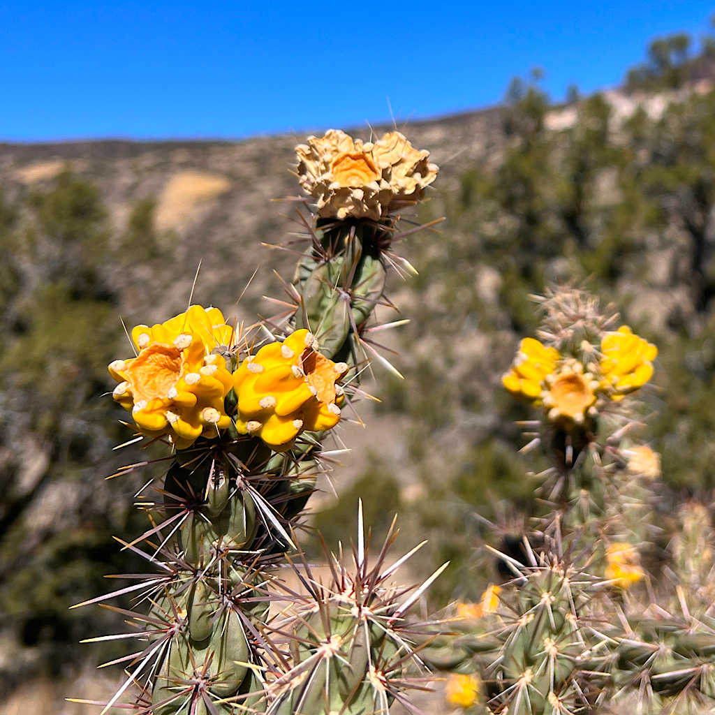
I wear it proudly on my first steps steeply up. The rock is volcanic and sandstone. Mesquite and cedar are thick as well as prickly pear and cholla cactus both fruiting. Right away I come upon a snake skin.
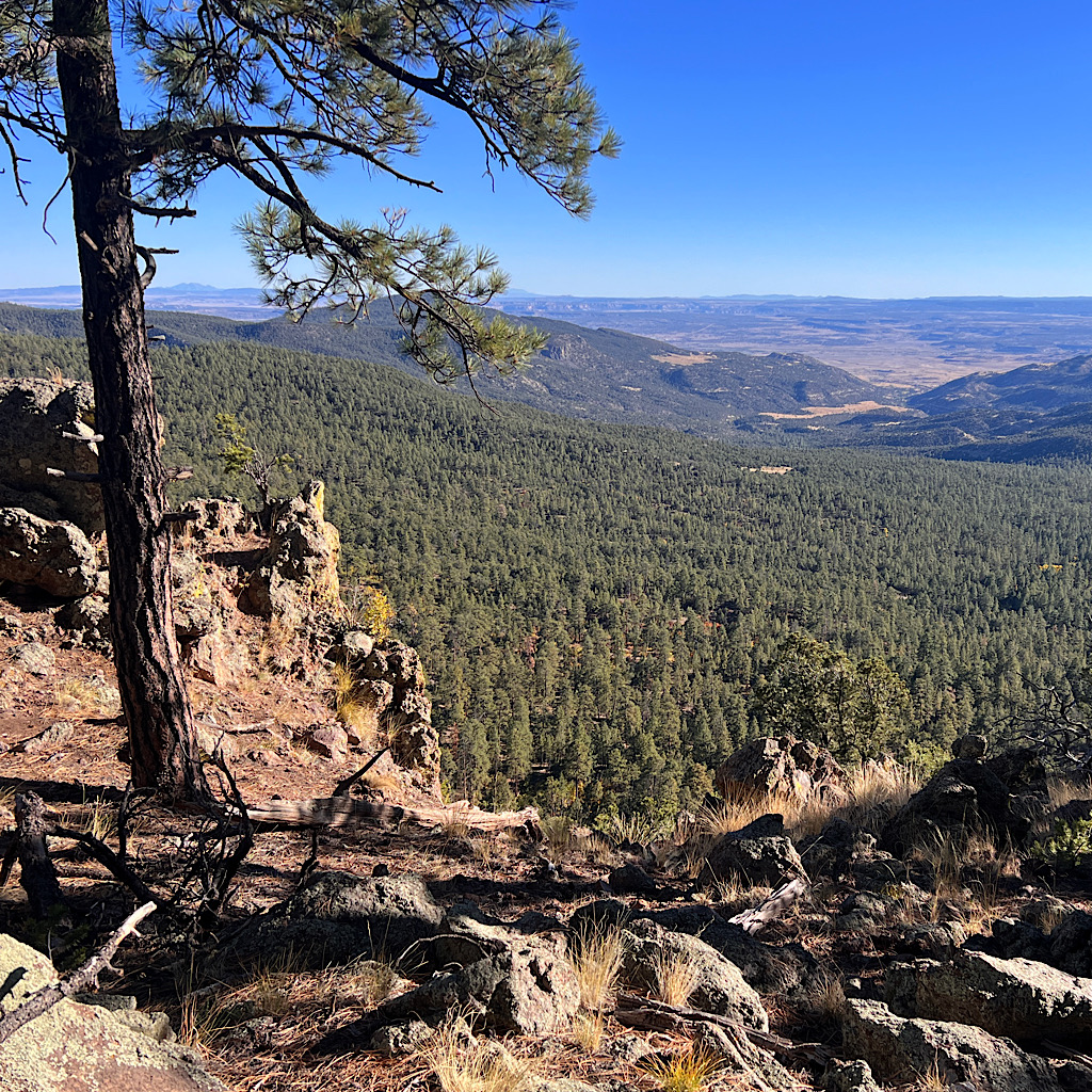
I’m already around 7,000 feet and I feel it as I slowly pick my way up to a mesa. I may be struggling to breathe but this trail is easy and I burst out laughing.
The Appalachian Trail would have me cracking straight up the side and at the top in one line. Instead I wind around, slowly inching up to viewpoints above the road at first then out to the valley and Route 66.
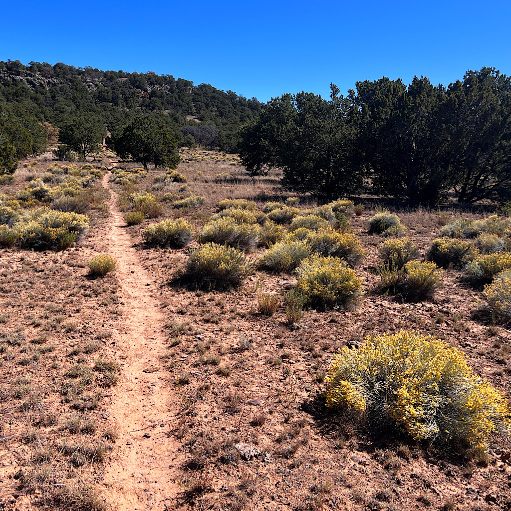
The trees change to pinyon and ponderosa as I follow an arroya up onto a completely flat mesa covered in light brown grass.
The trail is marked by a pile of these holy lava rocks and a piece of wood. The first one I meet has a bell affixed to it with a string to ring it. How random and odd, though it gives me joy to announce my arrival by ringing it loudly and singing along. Below is Grants and ahead is Mount Taylor, far away and high.
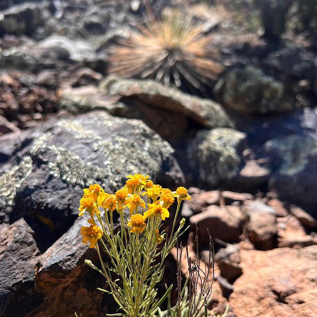
The walking is easy as I approach forest. I don’t feel the wind, but I hear it’s sighing through pine needles. The trees are taller up here and the forest reminds me of the Mogollon Rim near Flagstaff.
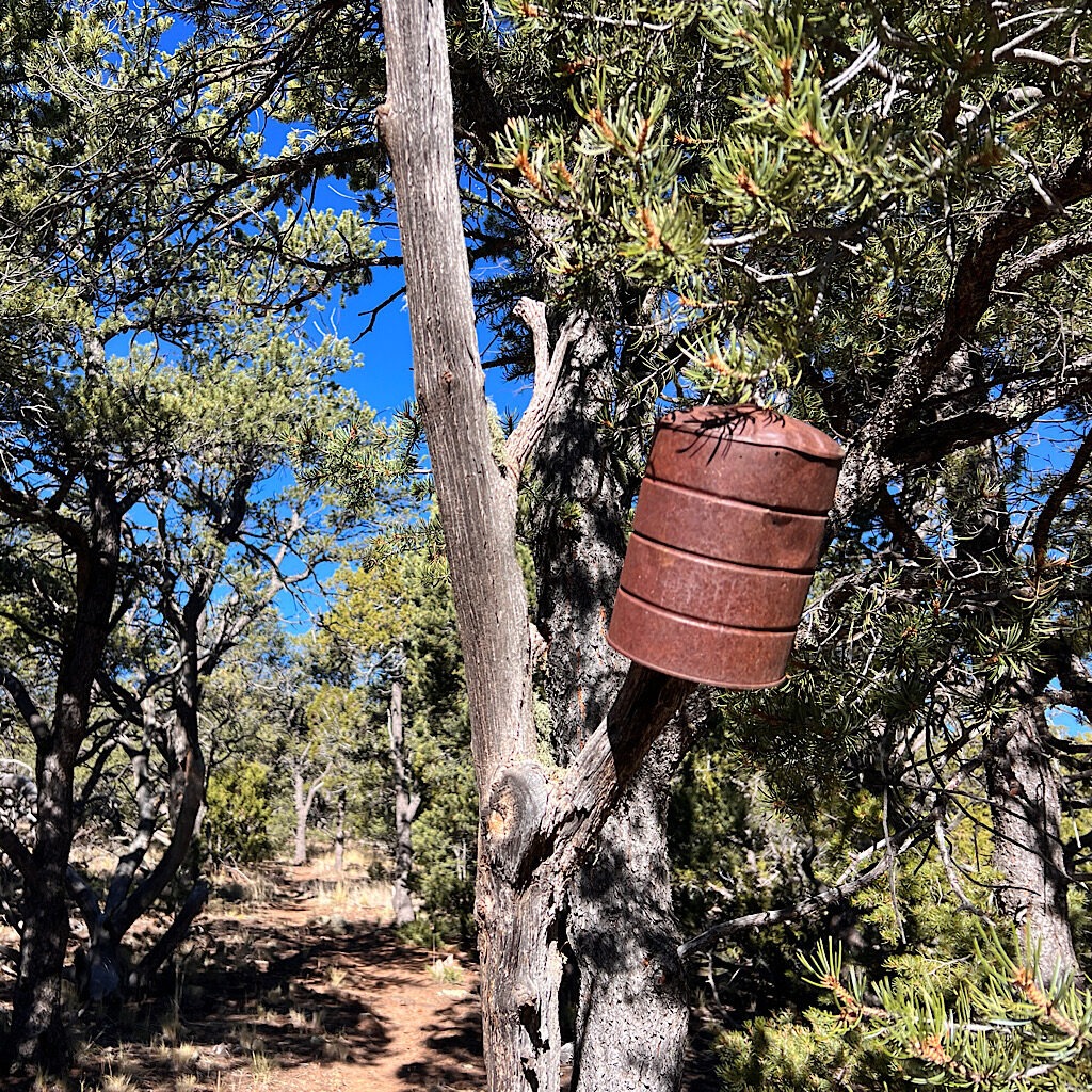
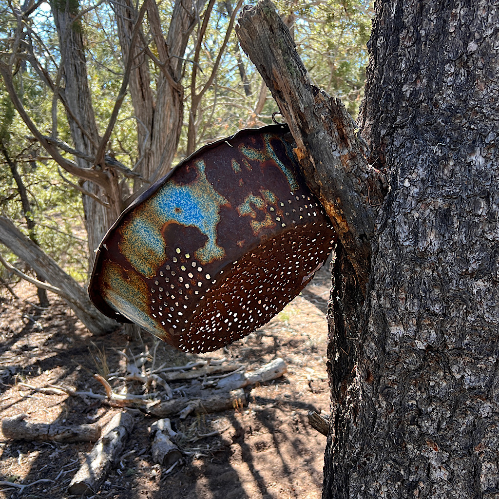
It gives off a sweet aroma, so different from the balsam in Maine, more dusty like a campfire. Every so often I meet random bits of rusted metal hung in the trees – tin cans, a colander, then the star of the forest, a barbecue.
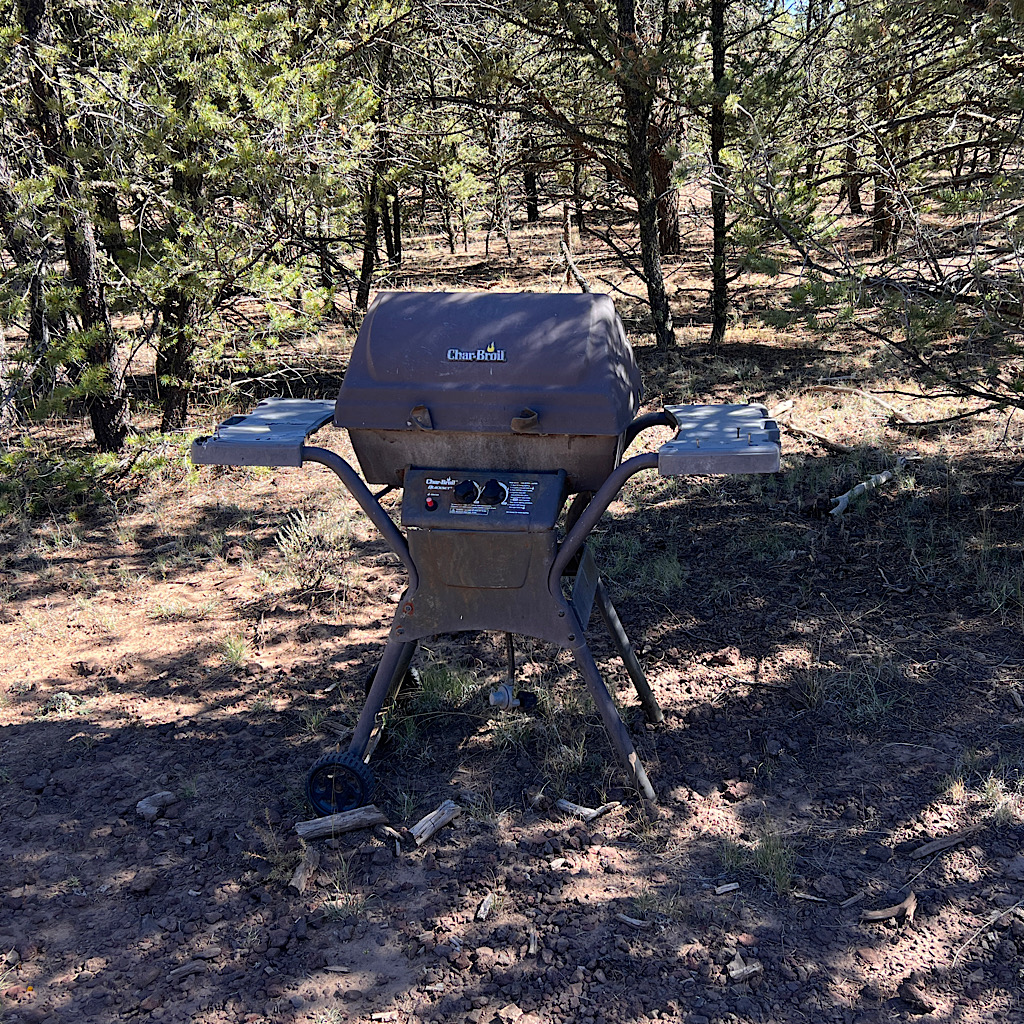
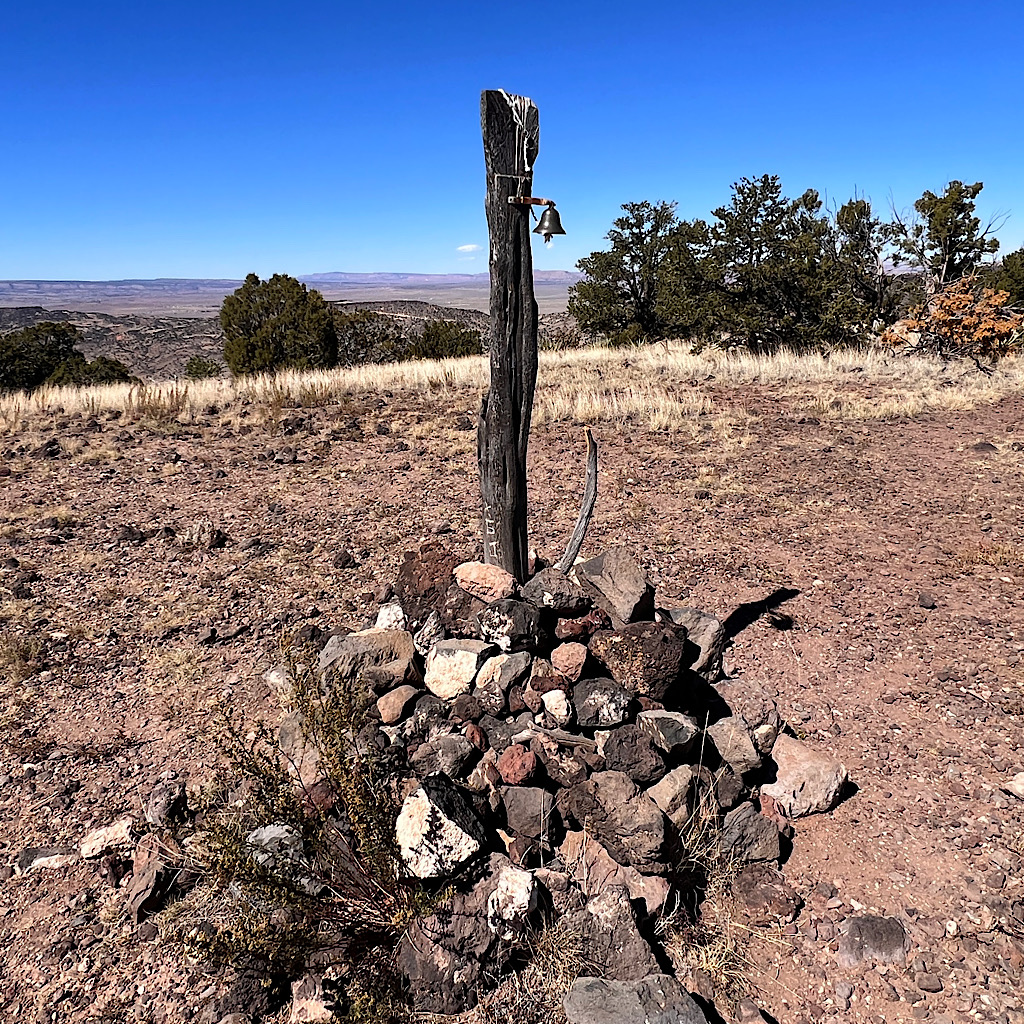
Of course this cancer thriver rang it.
I rang out GRATITUDE for being brave enough (and lacking too much vanity)to just do what had to be done.
I rang out RESILIENCE that didn’t mean I wasn’t scared or mad or confused, but that I was willing to fully engage with what life was throwing at me.
And I rang out OPTIMISM that maybe not every bad thing in life can be overcome or fixed, but that I can still reinvent myself and go on to thrive.
And then, I stepped forward on trail and into the beautiful unknown.
The trail crosses a dozen forest roads, some a bit more used than others. But I see no one all day besides a few hikers walking the road portion I elected to skip.
I should make a note here that those days are gone in the interest of preserving my legs and feet for as long as they’ll last walking trails. I like this much more than Arizona likely because I chose the right time of year with not a single trace of mud. The sun creates shadow play as I reach a rockier section taking note this would be a poor place to set a tent.
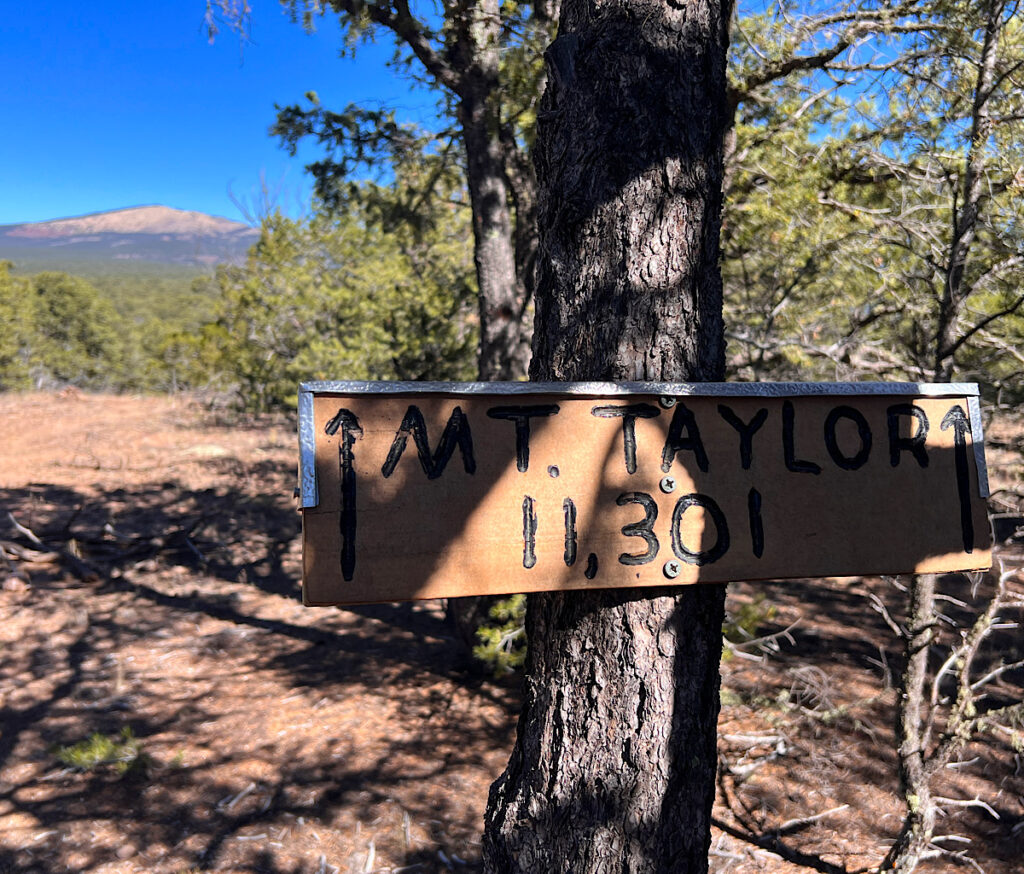
I come to a small opening framing Taylor with a helpful sign pointing out its lofty height of 11,301 feet. It’s a perfect spot to plop down for lunch and camel up on a liter of water.
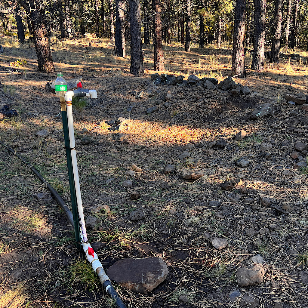
I need to pay careful attention to the water sources and ration as I go. There will be a spigot in five miles, then springs after the summit. There’s a long carry too but I think the walking is easy.
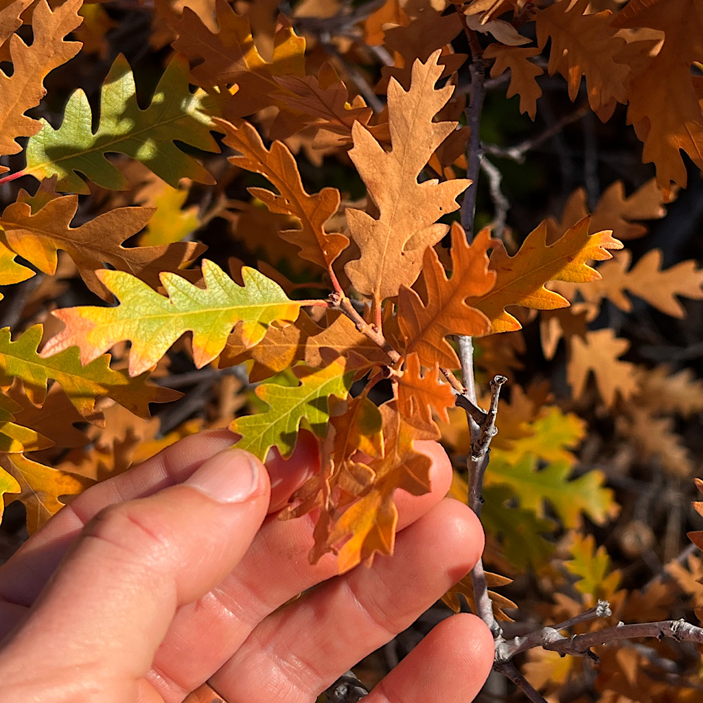
As I rise, I meet new biomes like scrub oak as bushes low to the ground, the petite hand-shaped leaves turning yellow, orange and red. A thick black hose parallels the trail. I saw these in Arizona as well as the Alps, taking water where it’s needed which mostly means to cattle.
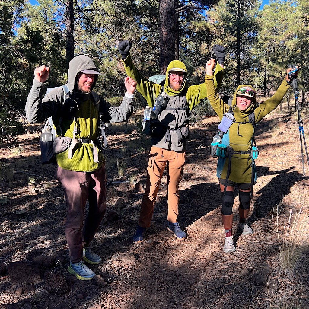
I’m close now to the spigot and the turnoff for the peak, an alternate from the official trail. Before I get there, I run into three thru-hikers, James, Rocky and Peanut, who wear variations of the same sweater.
They’re happy to be in the final state but it’s still a long way so they skip the mountain, though the wind might have kept them off it.
We wish each other luck and I stop at the spigot to top off and have a second lunch. From here, it’s road in the woods. I had set my cutoff time at 5:00, but the sun is still lighting my path and I’m not keen on camping right off a road, so I adjust to 6:00 knowing the sun will be dip below the mountains by 7:00 and it will get cold.
A trail splits off, pushing through forest. I wonder when I’ll catch another glimpse of the mountain? It peaks out and I continue up looking for a spot with a view.
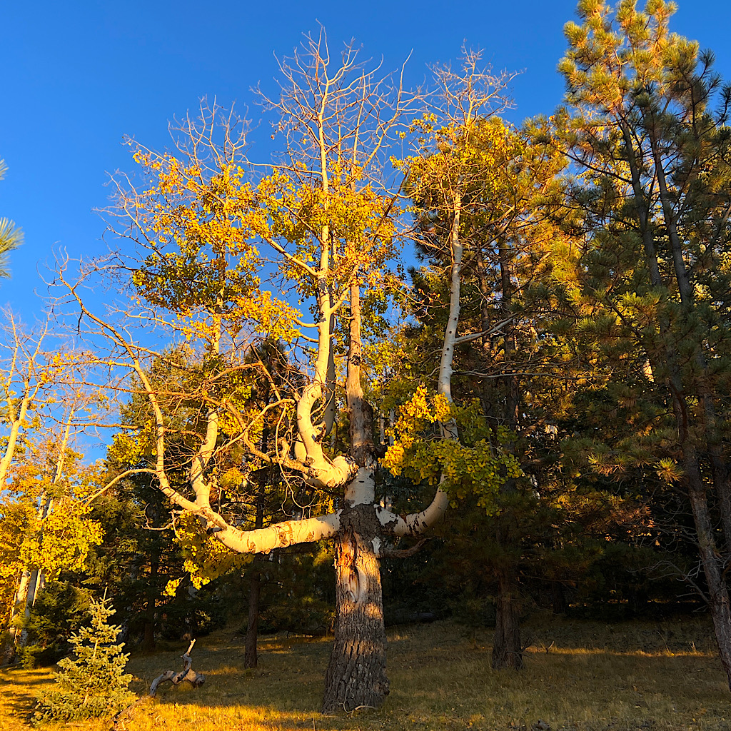
Instead, I walk on steeply, the trees changing again to aspen, all yellow and quaking. This steep, narrow trail is not going to work but below appears flatter so I peal off to check it out.
It’s not all that flat and filled with dried cow patties. Above, the sun shines brightly on aspens like stained glass. There’s a dry river bed, deep and dusty which I cross finding a way past barbed wire.
It’s grassy and idyllic but still not that flat, so I press on a few more steps.
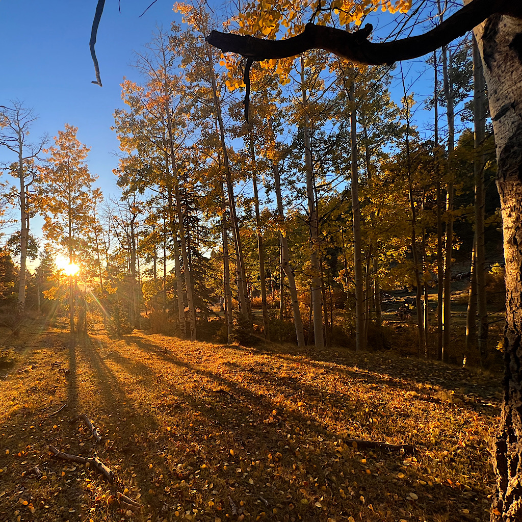
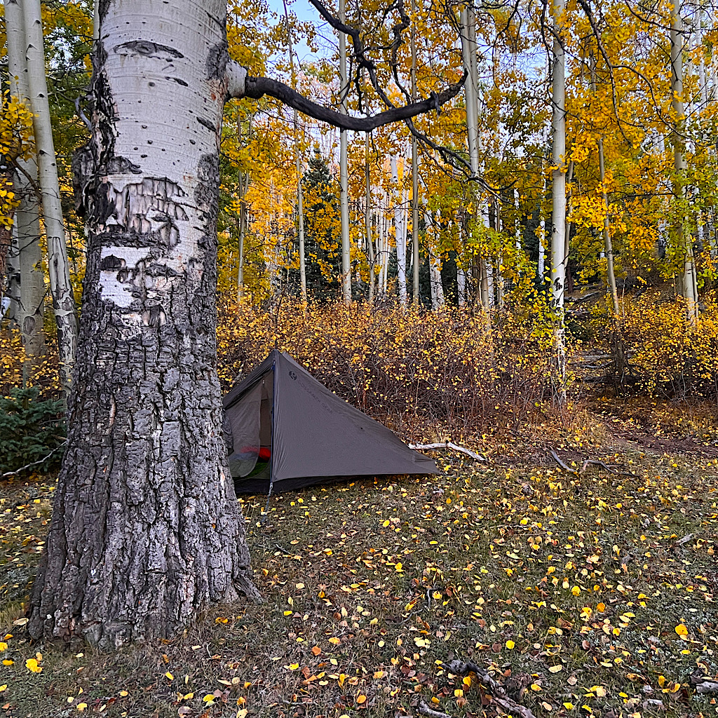
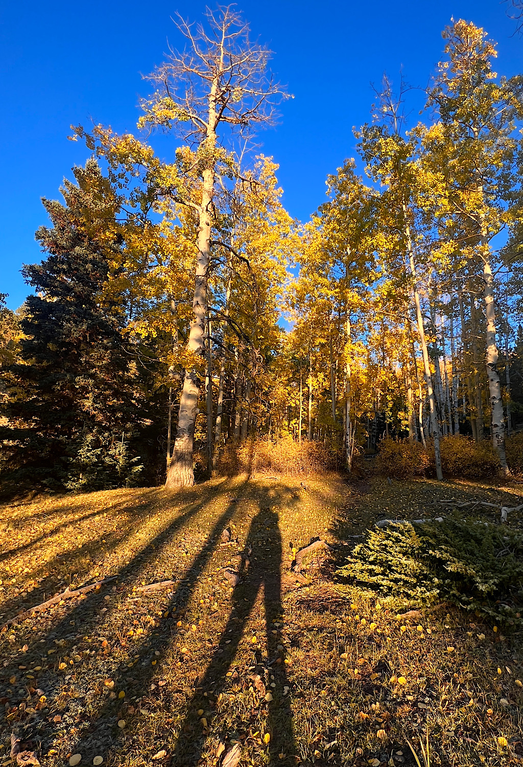
And that’s when I come to a grotto of Aspens, tall and in their fall finery. There’s one flat spot in the middle of it and I quickly pitch the tent and make a dinner of sweet and sour noodles.
The sun turns a deep magenta, sending rays into my private forest before dropping below the mountains for a few more minutes of glow. It’s cold and starry and I’m tucked into my warmest bag so happy to have changed the channels for a desert walk and ready to rest up for the high summit tomorrow.
