UNITED STATES
Arizona Trail
The Arizona National Scenic Trail (AZT) – one state, 800 miles and 100,000 feet of elevation gain – is a continuous footpath from Mexico to Utah moving through diverse landscapes that link deserts, “sky islands,” canyons, forests as well as two national parks, Saguaro and Grand Canyon.
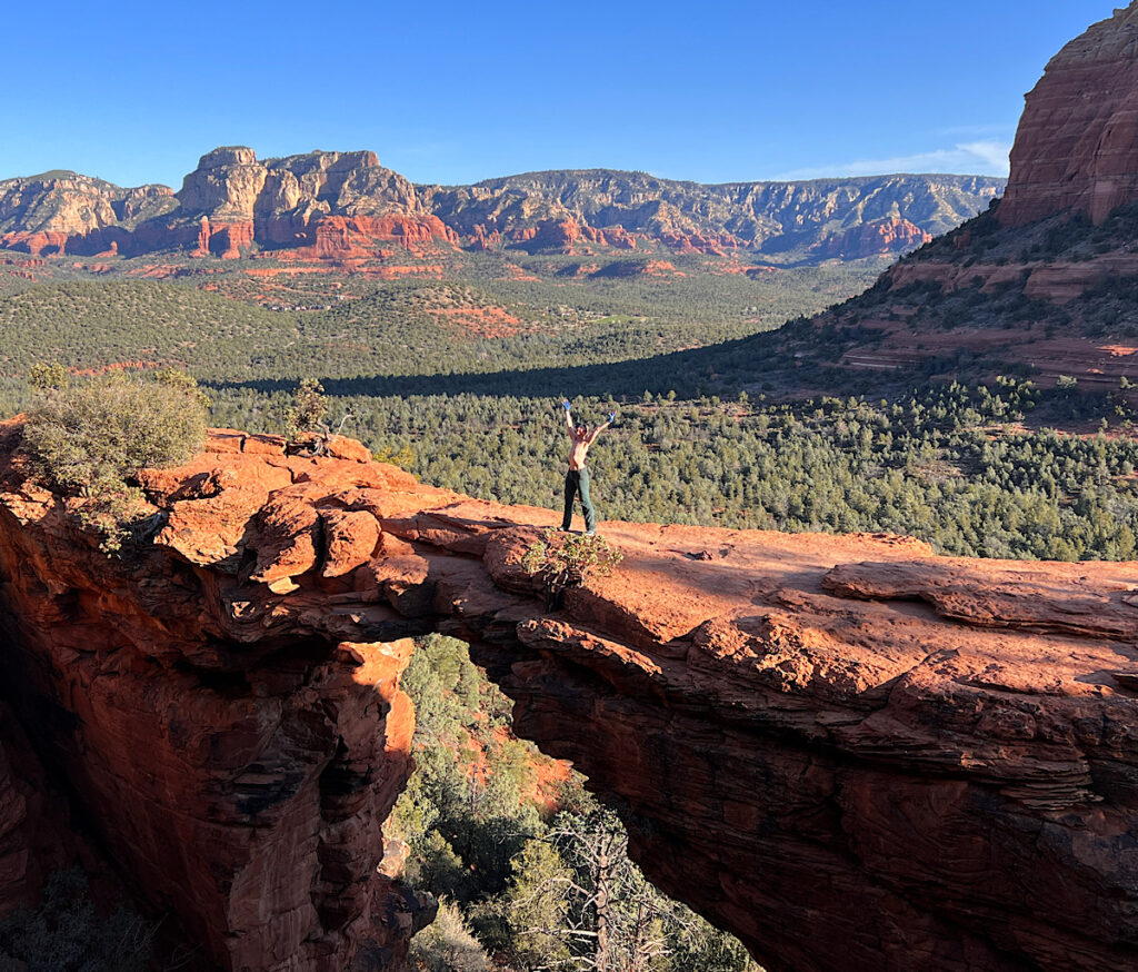
Arizona dreamin’
After I finished the Arizona Trail, I continued hiking and backpacking in places the trail misses and came to terms with a changed body.
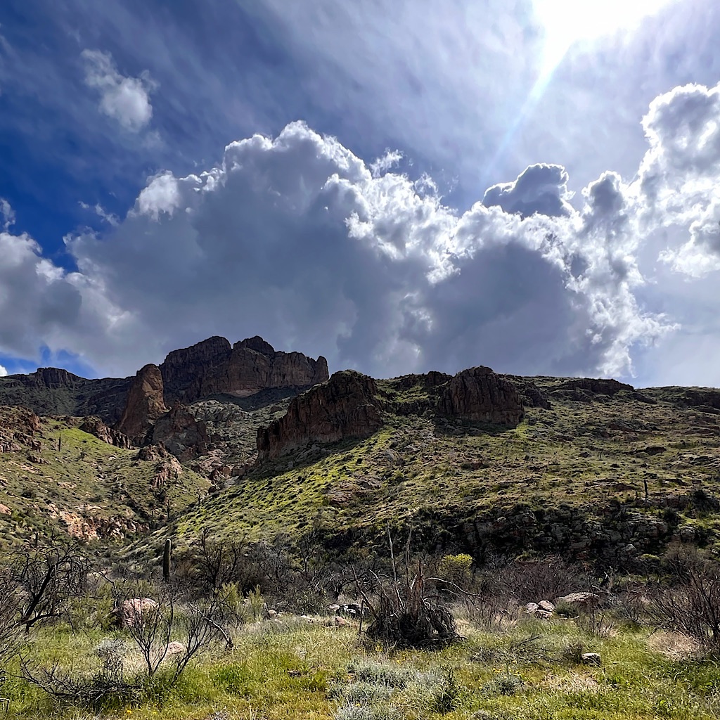
AZT: Rain Collector to Superior, via LOST trail, 18 miles
The final piece of trail ends at Picketpost just before the Superstition Mountains. I opt to walk into Superior through a lovely riparian canyon.
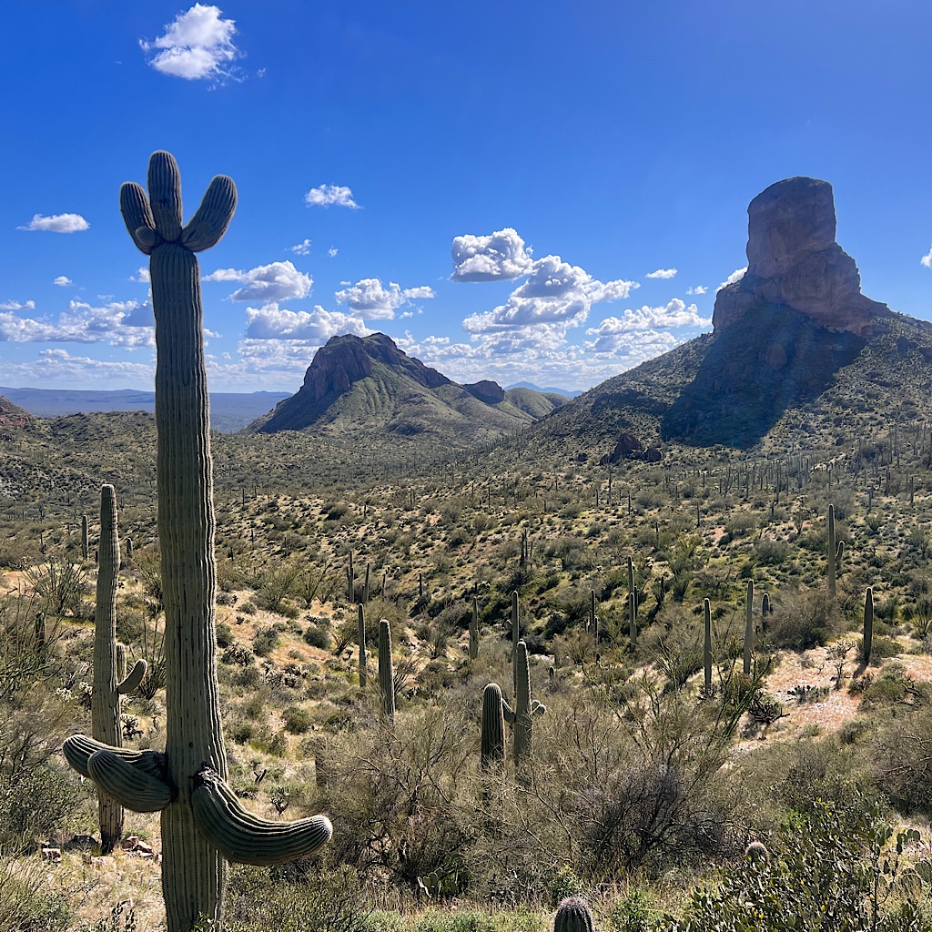
AZT: Gila River to Rain Collector, 18 miles
It’s one of the most thrilling parts of the trail, a 2,000 foot climb out of the Gila River Canyon into desert spires and ramparts.
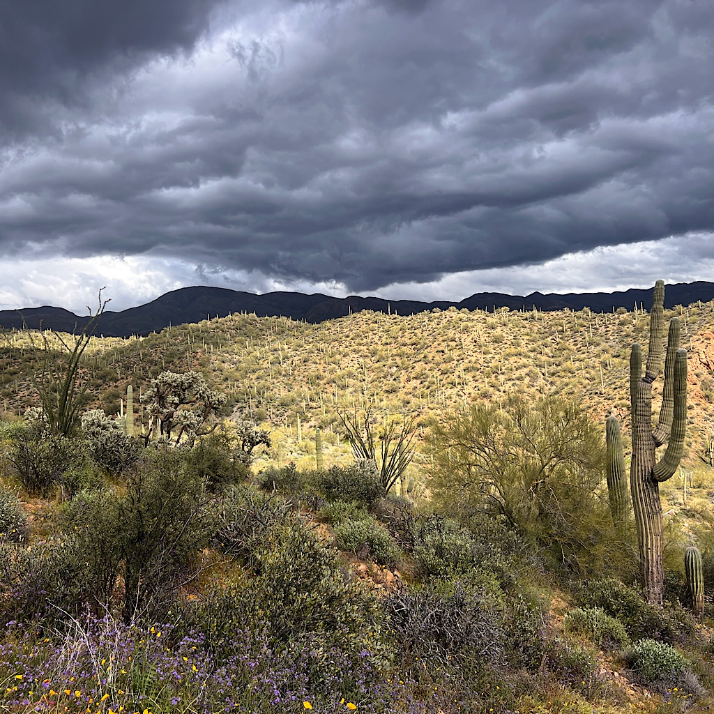
AZT: Ripsey Wash to near lowest point, 19 miles
I had the last section of Passage 15 up a big hill, along a ridge, then down steeply to the Gila River in wild clouds and rain.
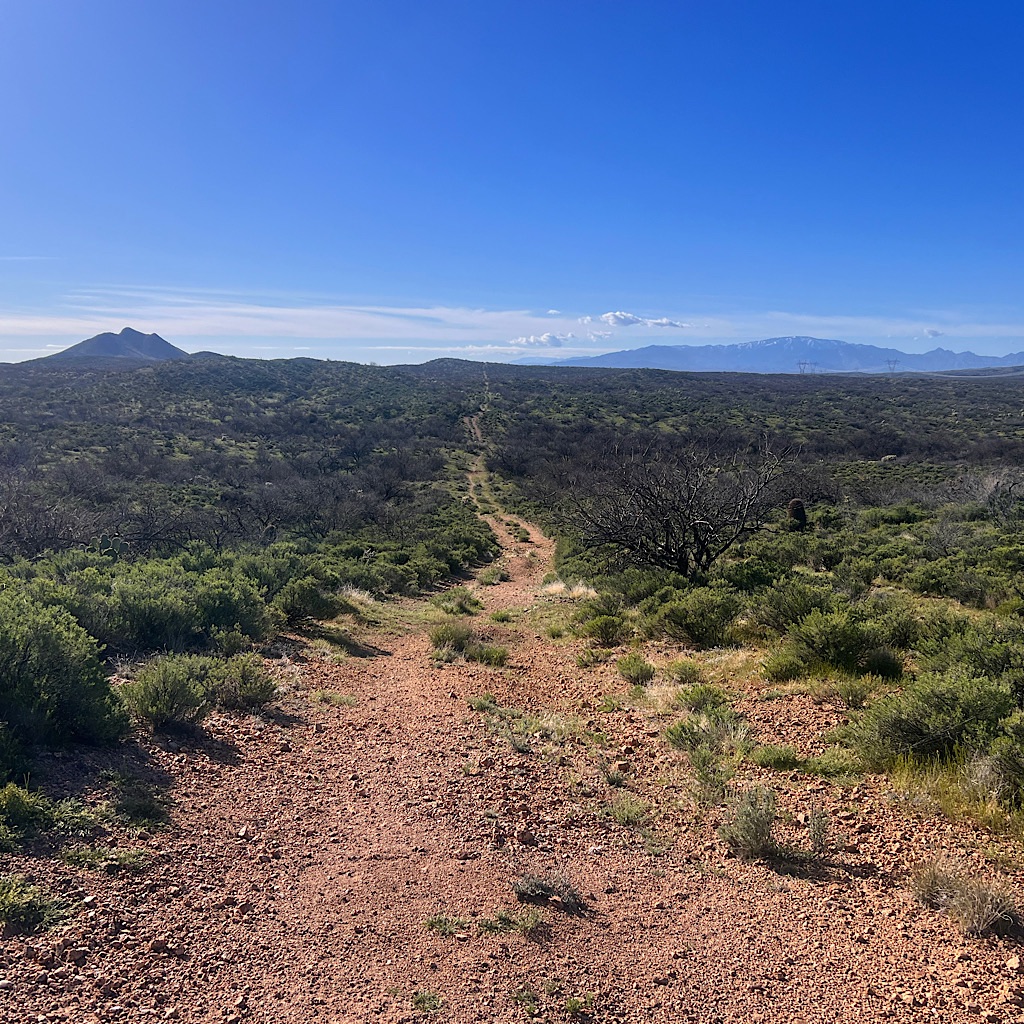
AZT: Antelope Peak to stock tank near Ripsey Wash, 19 miles
The day is spent on the flattest expanse of Passage 15 through the Sonoran Desert, loud with birdsong and views to far off mountains.
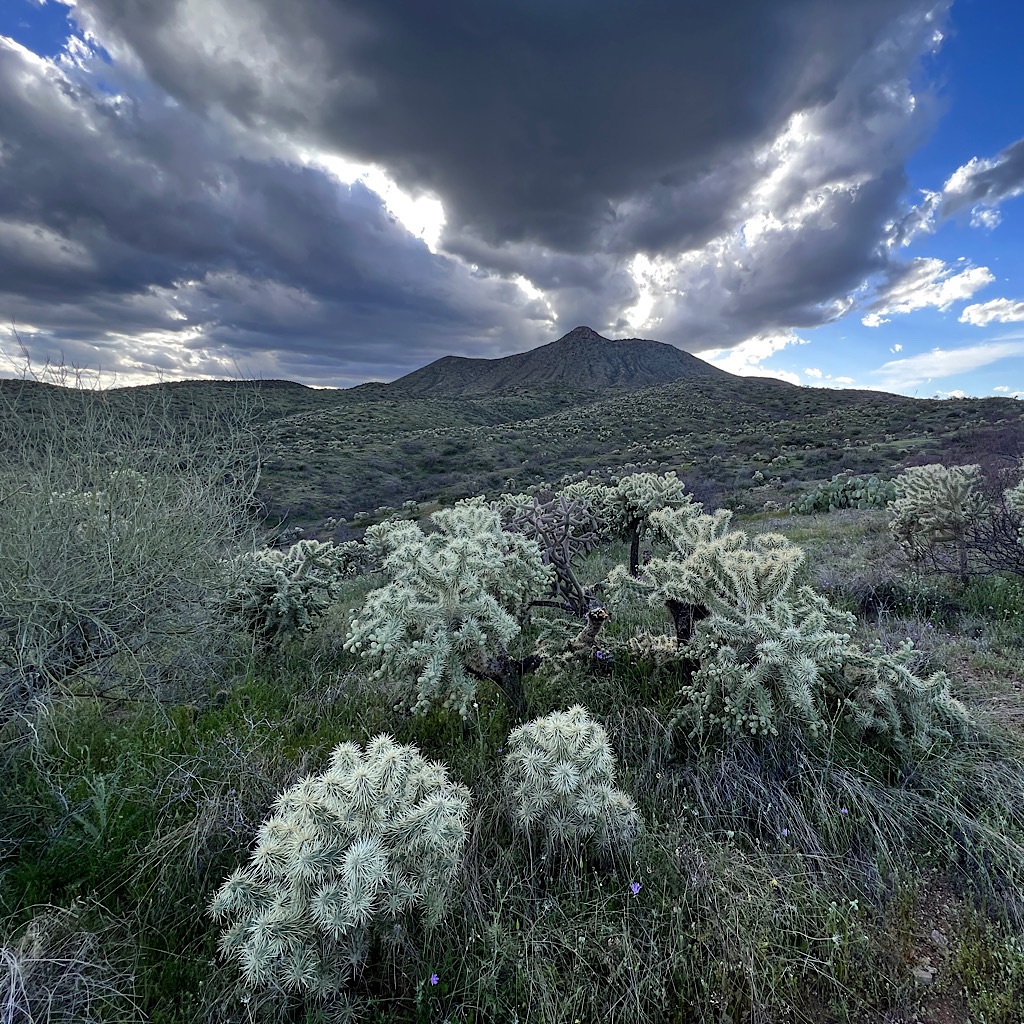
AZT: Passage 14 – Black Hills, 19 miles
The day is filled with clouds and filtered light turning the cholla silver against the Tortilla Mountains.
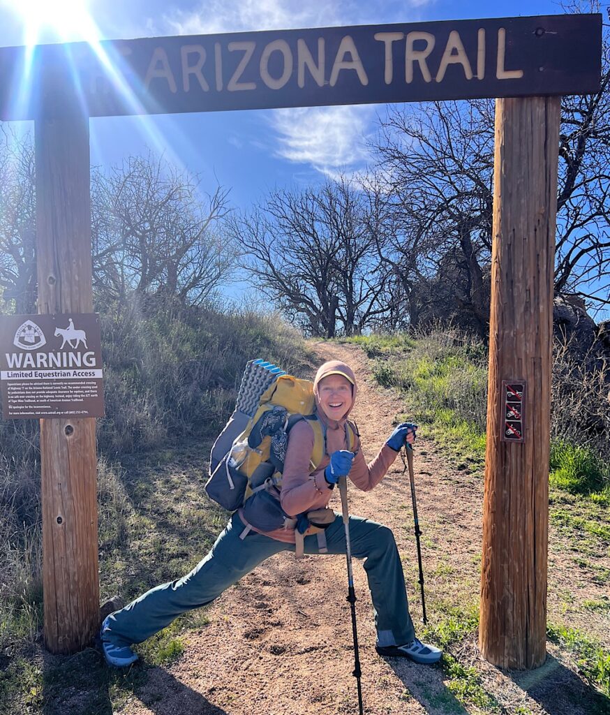
AZT: Oracle to high point, 15 miles
I start right where I left off at American Flag under Mount Lemmon then walk north into desert beauty.
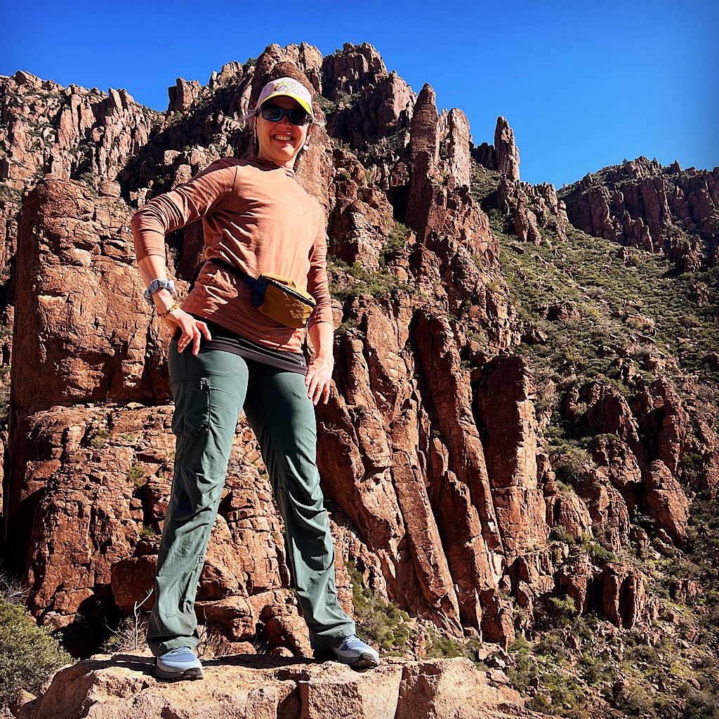
AZT: the return
I arrive in Tucson and spend the day on a wild circuitous detour exactly where I’ll walk with my African-American friend Hector.
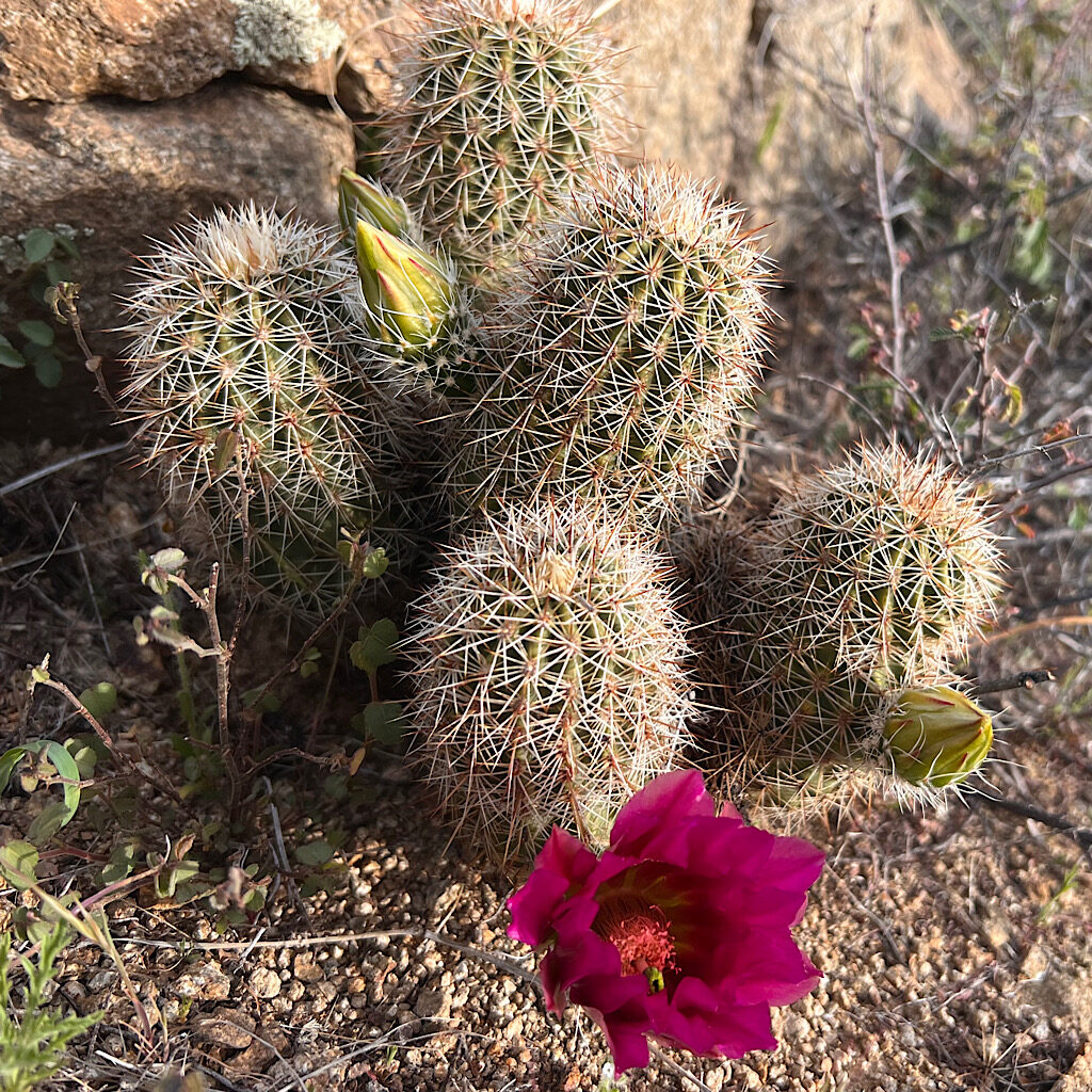
for the love of beauty on the Arizona Trail
On the Arizona Trail, I learned about love as a gift in the form of the desert bloom.
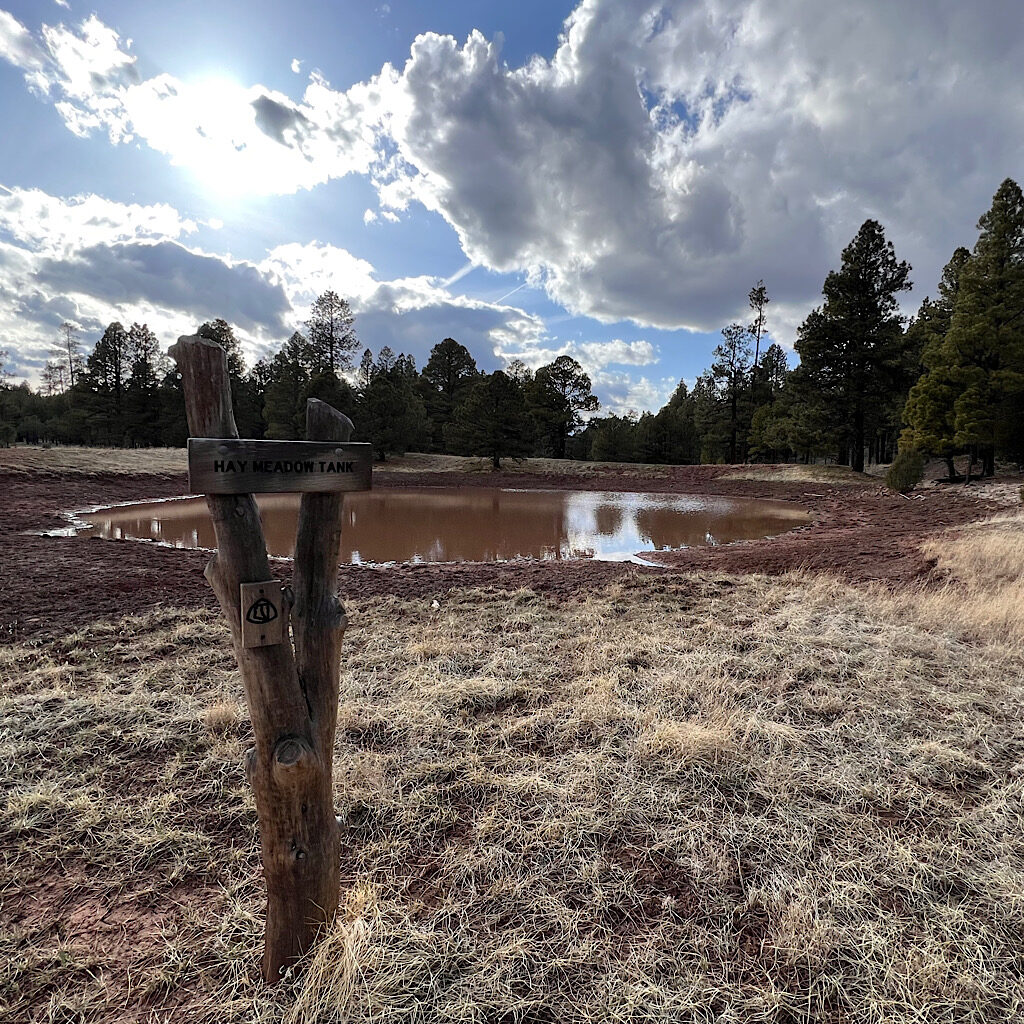
in search of joy on the Arizona Trail
On a muddy section of the Arizona Trail, I learned that joy is a choice.
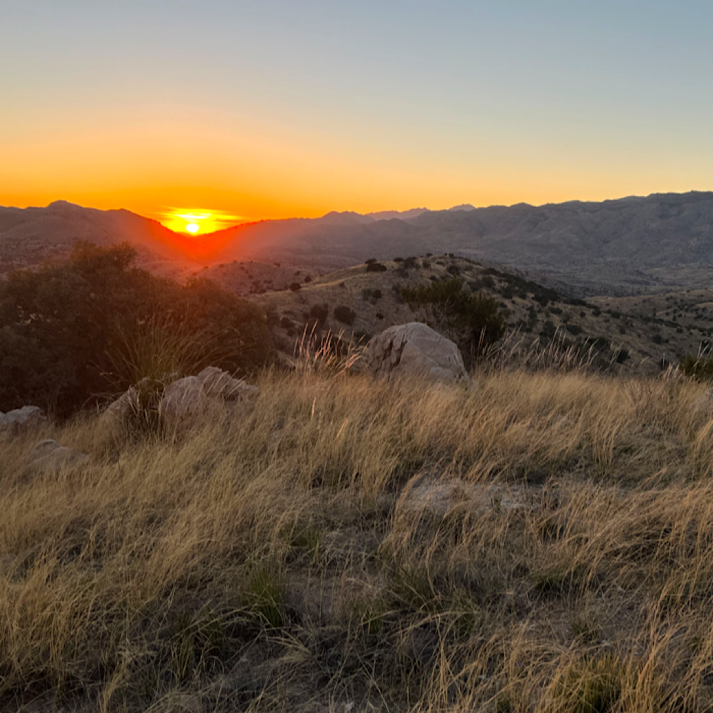
From Adventure to Advent
I’m using my time on the Arizona Trail in late winter as a setting for Advent talks I’ll give in the coming weeks.
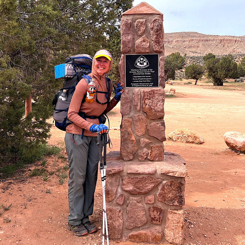
AZT day 33, cowpie camp to Utah, 17 miles
As the wind builds into a sandstorm, I finish the Arizona Trail at the border under the brooding Vermillion Cliffs.
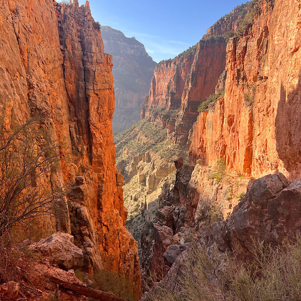
AZT day 32, Cottonwood to beyond North Rim and Orderville Trailhead to cow-pie field, 20 miles
The trail is an engineering marvel taking me steeply up through red cliffs all alone to the North Rim.
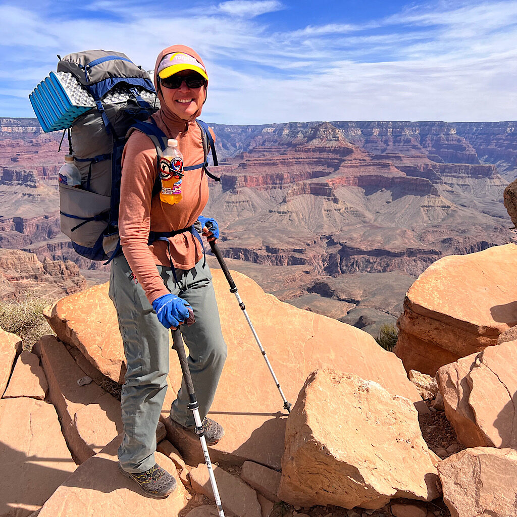
AZT day 31, South Rim (Grand Canyon) to Cottonwood Campground, 16 miles
Hiking into the canyon on the Kaibab Trail is one of the most exhilarating experiences of my life.
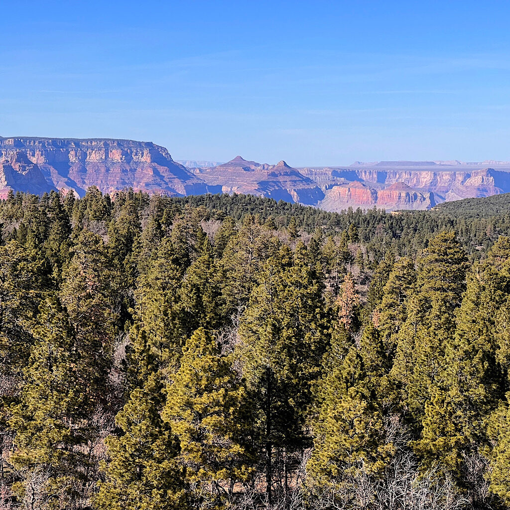
AZT day 30, Forest Road to Grandview Lookout, 21 miles
Another long day up and down through ponderosa and dust with the first glimpse of the Grand Canyon.
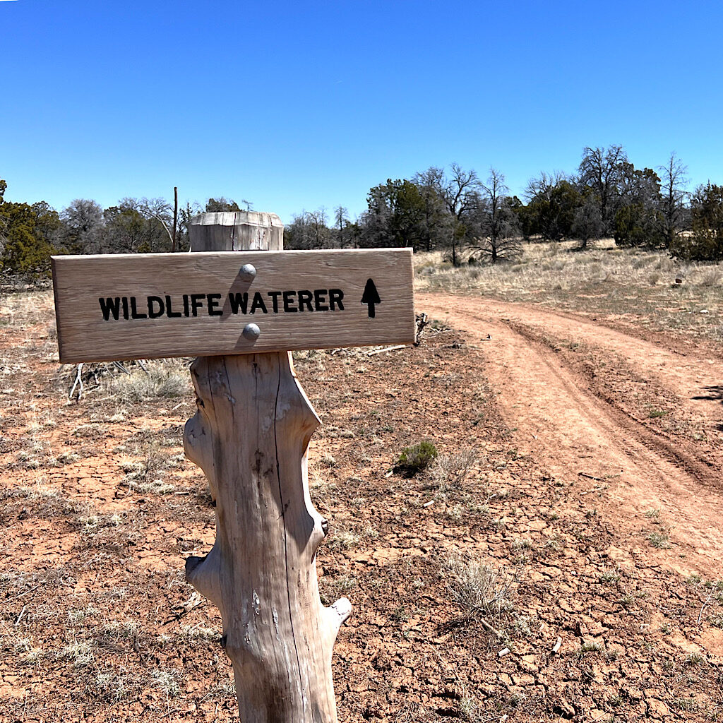
AZT day 29, Babbit Lake to FR 913M (Kaibab National Forest) 21 miles
Sam drives me past Mount Humphreys to Babbitt Lake and it’s an easy day through ranchland to a perfect camp spot.

AZT day 28, Marshall Lake to Flagstaff (urban trail) 15 miles
I walk into Flagstaff with bed bug infested gear, but help is not forthcoming. Still, I manage.
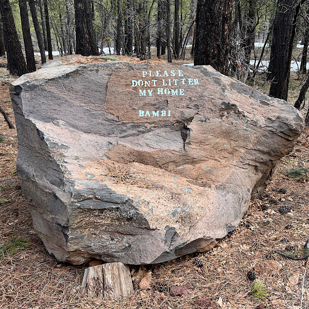
AZT day 27, Navajo Springs to Marshall Lake, 25 miles
It’s a long day but the trail gets easier and drier with only a glimpse of views.
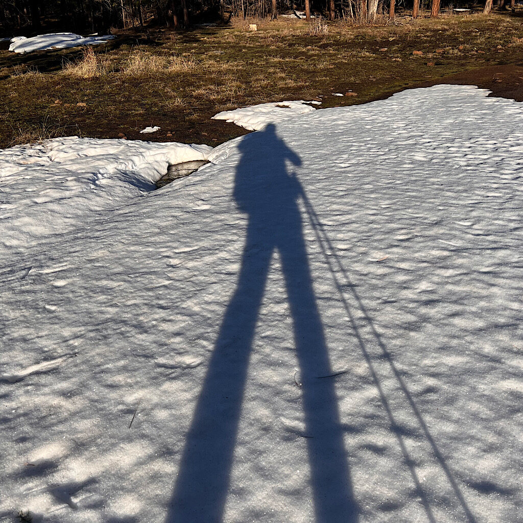
AZT day 26, falls ‘n frogs to Navajo Springs, 17 miles
Mud, snow, a beer before 10 am and a wrong turn make for a fun hiking day.
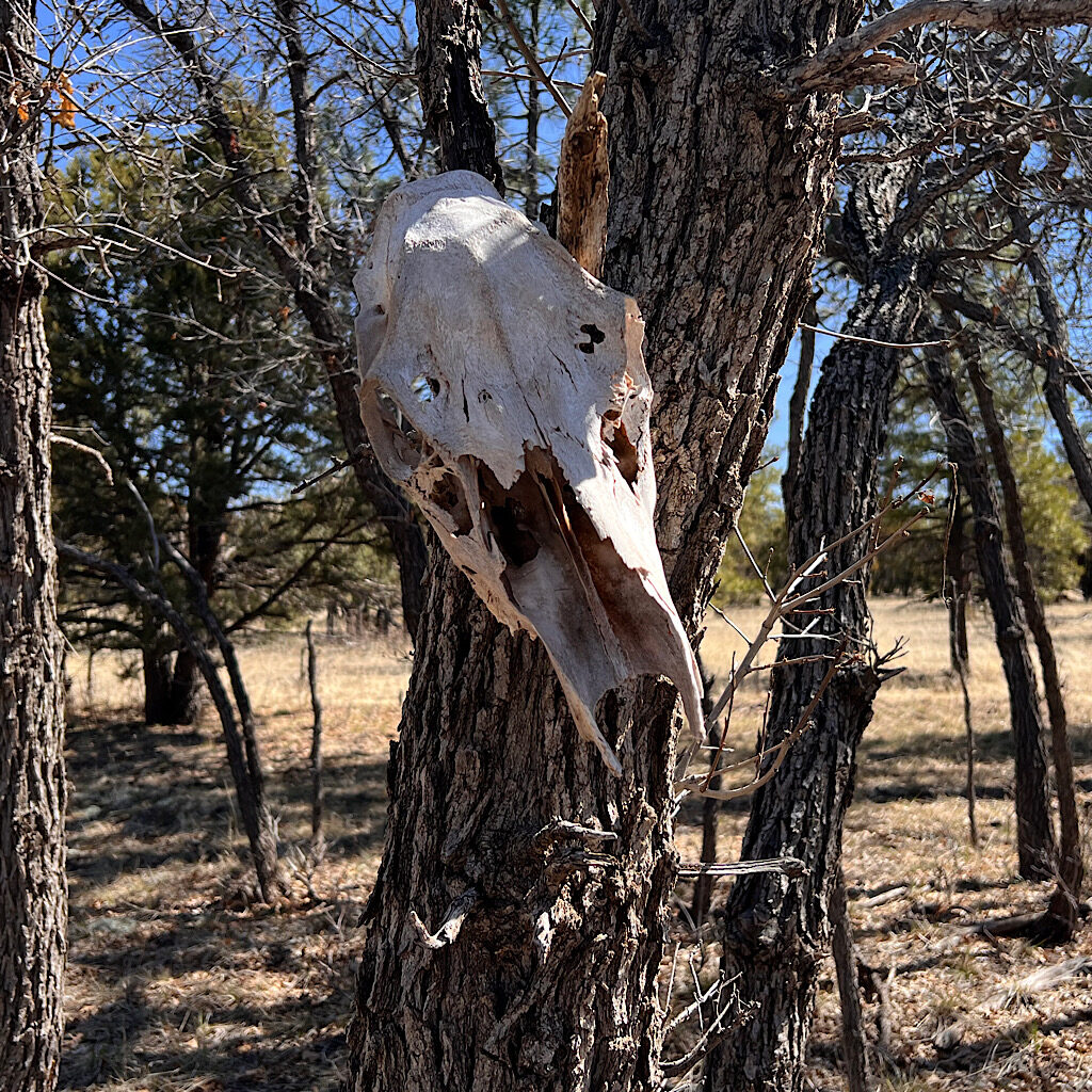
AZT day 25, past 87 to a triple waterfall and frog song, 20 miles
It’s a long slog through sticky mud but ends in a surprise.
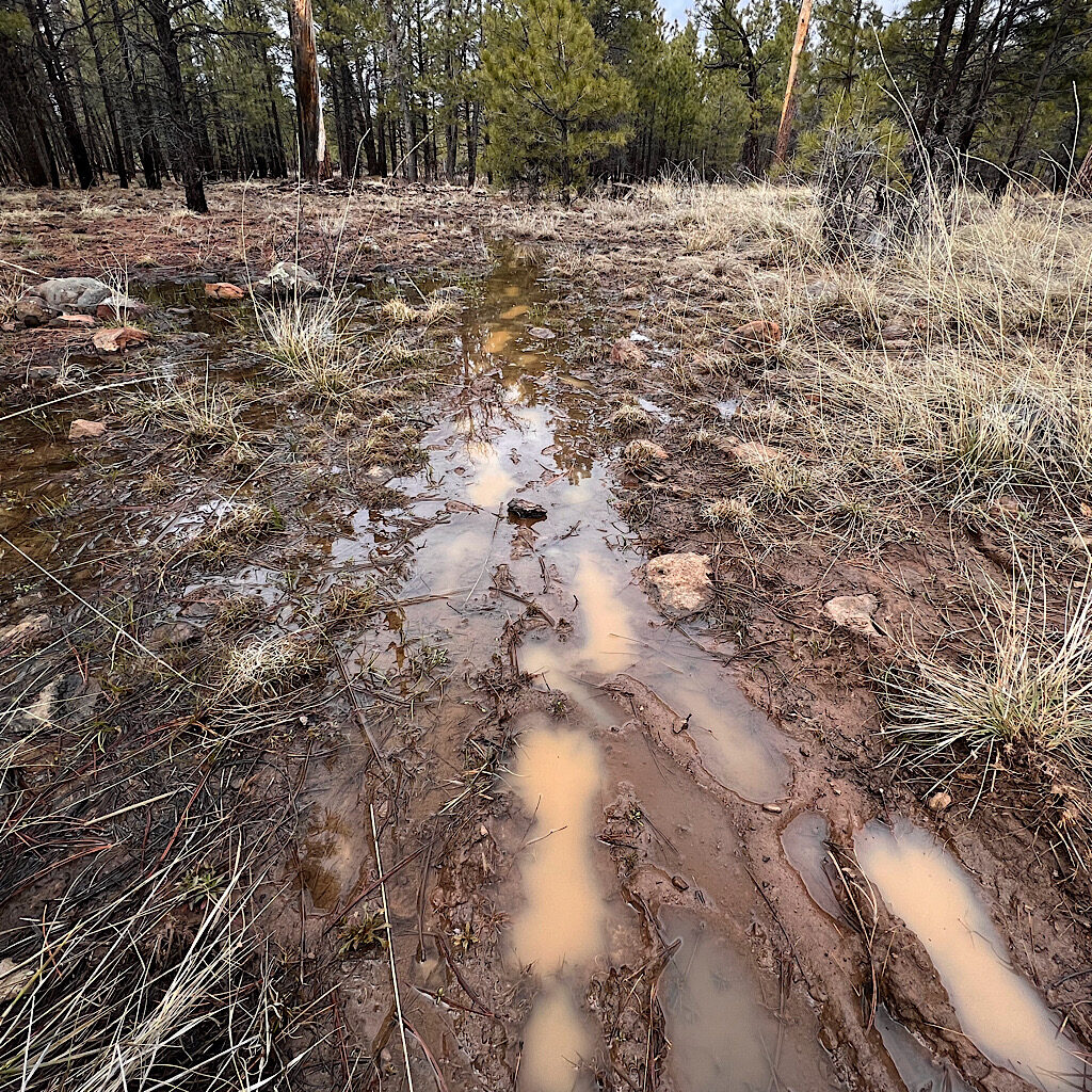
AZT day 24, East Verde River to past Hwy 87 (Mogollon Rim) 20 miles
The trail is rocky and steep to the rim right into deep snow drifts then mud.
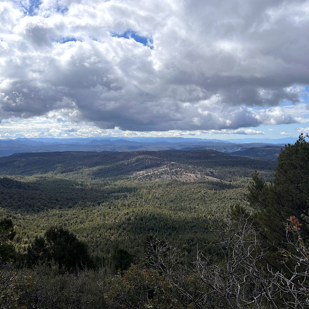
AZT day 23, Pine to East Verde River (Highline Trail) 19 miles
The storm cleared the air and I walk under the colorful rim on red rock with big clouds overhead.
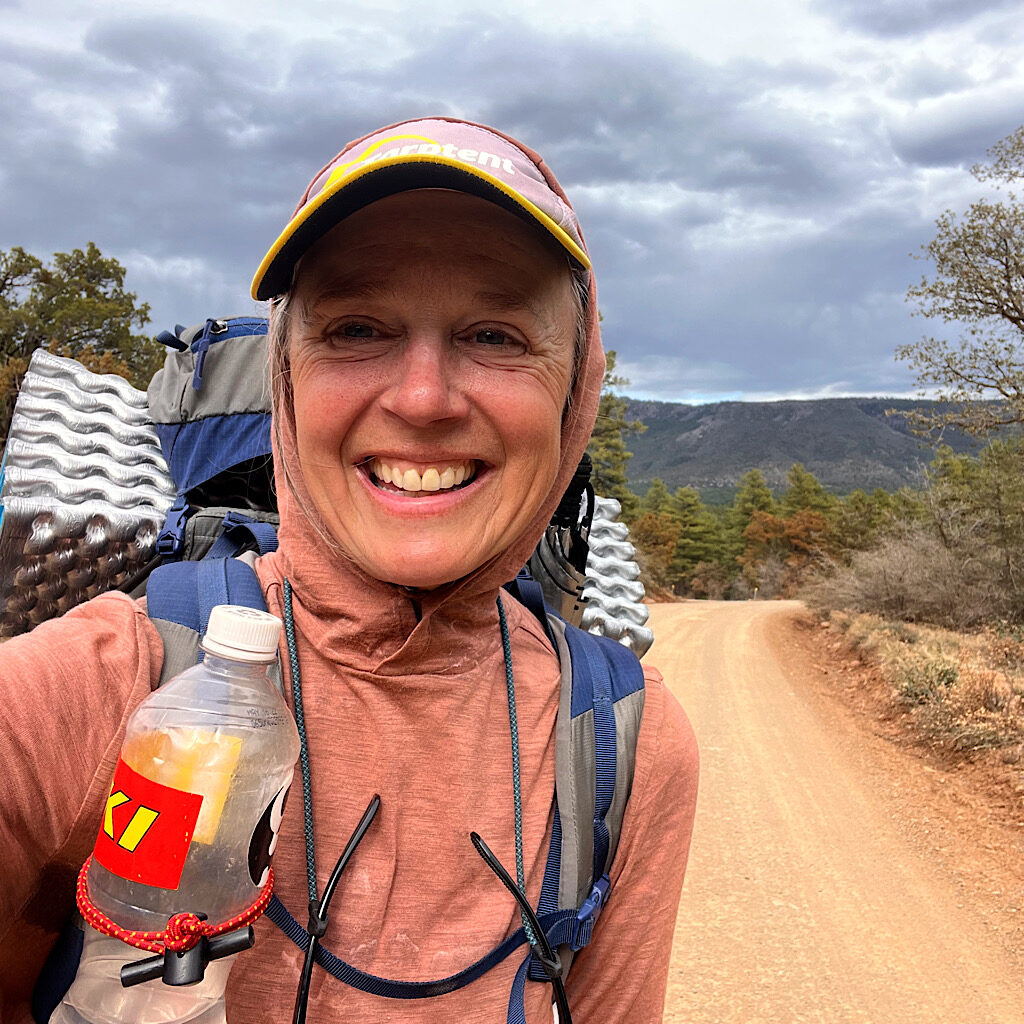
AZT day 22, White Rock Spring to Pine, 14.5 miles
It’s mostly easy trail but filled with hard-to-walk-on rocks all the way to a shortcut and a ‘zero.’
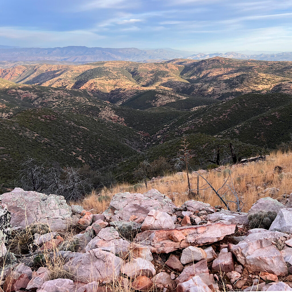
AZT day 21, Hopi Spring to White Rock Spring, 21 miles
The views are huge and unspoiled, so remote and almost overwhelming.
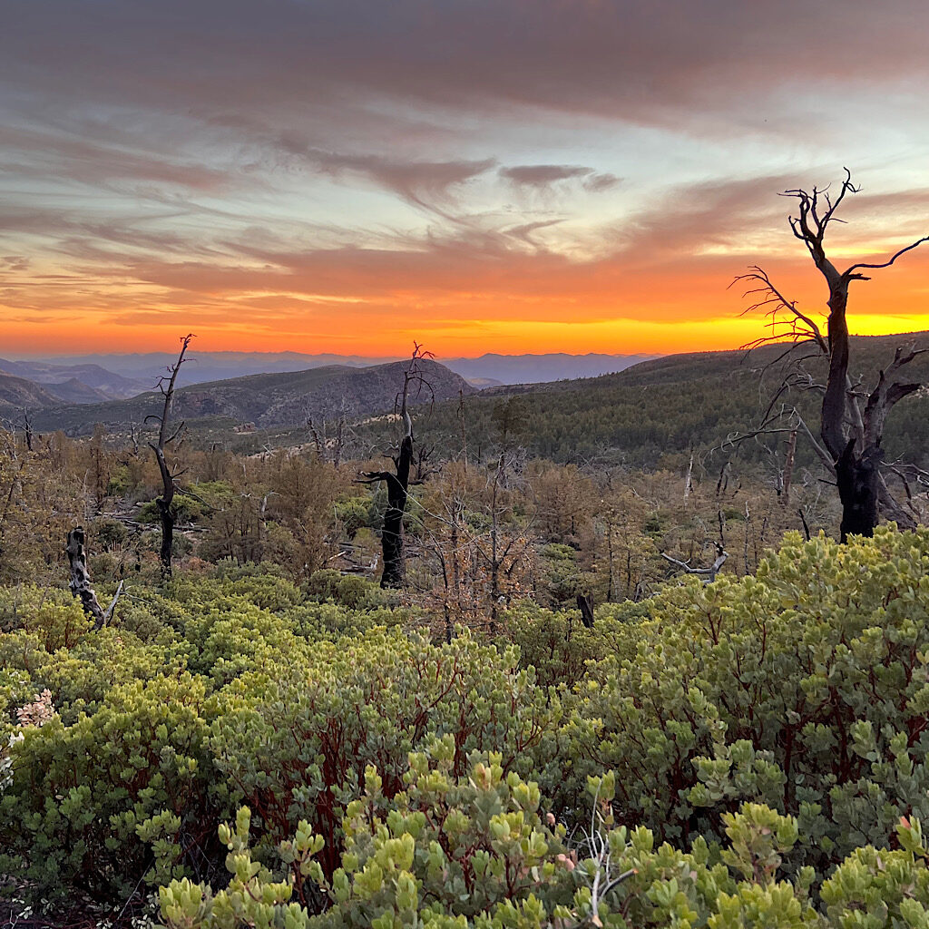
AZT day 20, Thicket Spring to Hopi Spring, 19 miles
The trail winds around deep canyons to stay high with snow, wildflowers, gnats, gorgeous water and a stunning sunset.
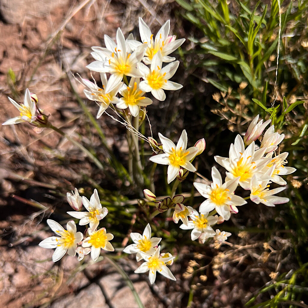
AZT day 19, Beeline Highway to Thicket Spring in Mazatzels, 16 miles
I begin the Mazatzals on a gorgeous day, ‘cruisey’ and beautiful as I try to push through before snow.

AZT day 18, Boulder Creek to The Beeline Hwy (Payson) 4.5 miles
Sleeping on the grass is a bad idea and I puncture my mattress, but serendipity leads to a replacement.
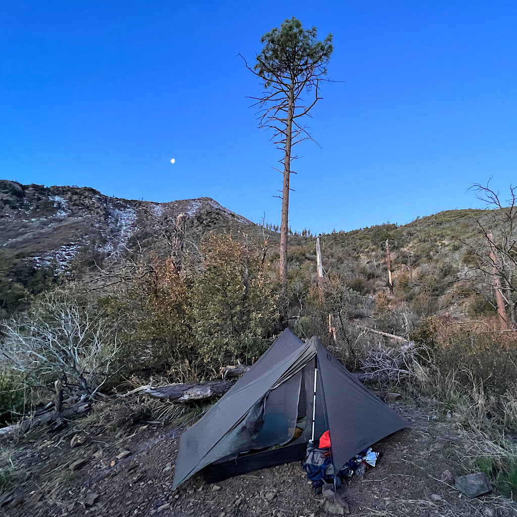
AZT day 17, High Spot to Low Spot next to Boulder Creek, 18 miles
A road walk leads to beautiful Boulder Canyon and sleeping with frogs.
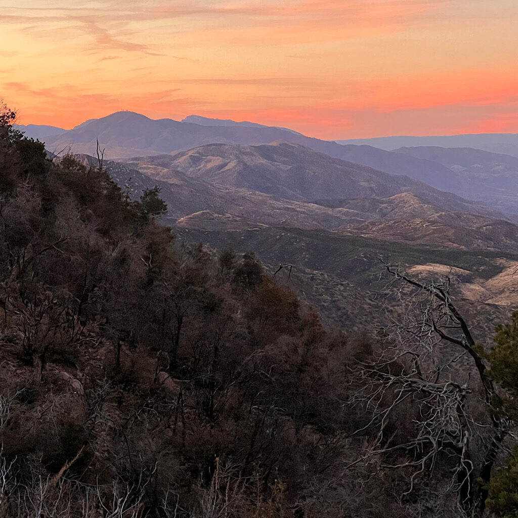
AZT day 16, Vineyard TH to High Spot in Four Peaks Wilderness, 16 miles
It’s a steep flower-laden climb to Four Peaks and a spectacular balcony walk.

AZT day 15, Walnut Spring to Roosevelt Marina, 15 miles
The final day in the Superstitions is very hard on steep, loose rock but with astounding views.
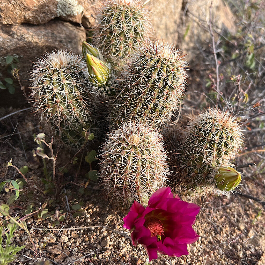
AZT day 14, Reavis Trail Canyon to above Walnut Spring, 17.5 miles
It’s a tough up and down hike through the Superstition Mountains shared with new friends.
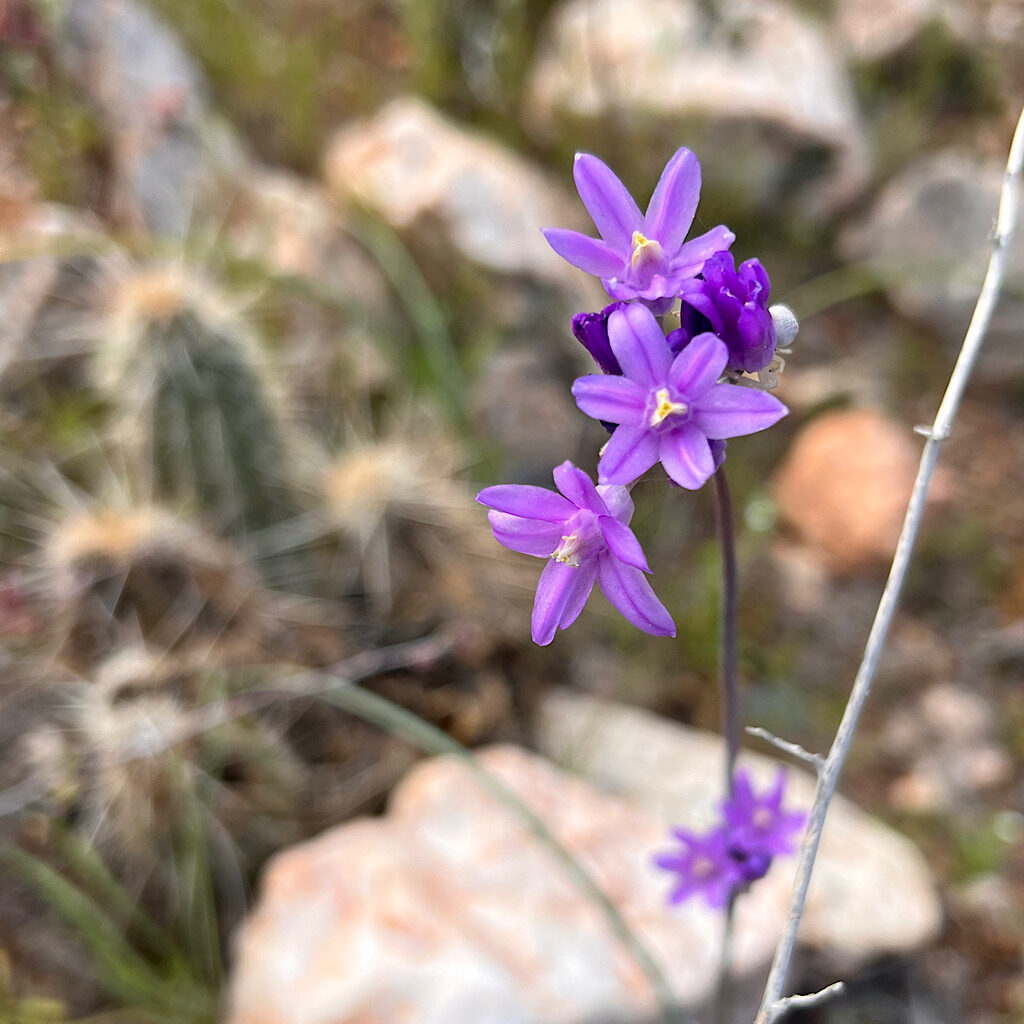
AZT day 13, Hewitt Station Road trailhead to Reavis Trail Canyon (Superstition Mountains) 10 miles
I skip the low desert in the interest of time and move onto the mountains where the wildflowers are abundant.
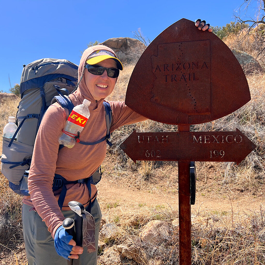
AZT day 12, Dan’s Saddle to Oracle, 11 miles
Oracle Ridge is an absolute slog up and down rock-filled hills but ends with a trail angel.
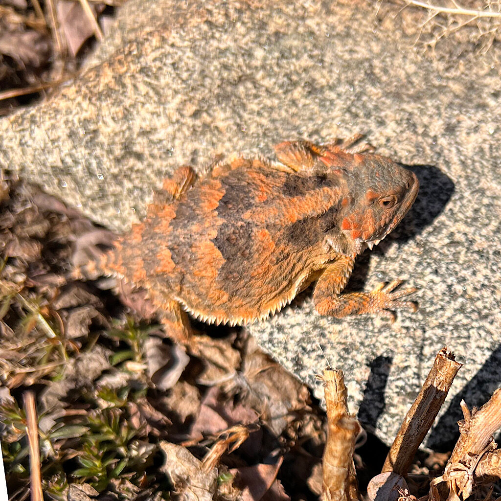
AZT day 11, Hutch’s Pools to Dan’s Saddle, 15.5 miles
It’s an enormous ascent to Summerhaven through a magical stone forest.
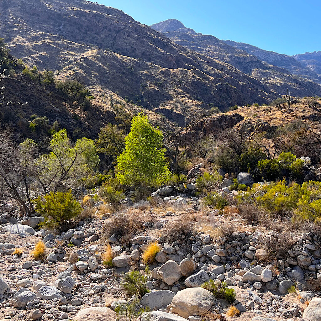
AZT day 10, cowgirl camp to wash above Hutch’s Pools, 19 miles
A surprise up tires me before heading into some of the most spectacular scenery yet.
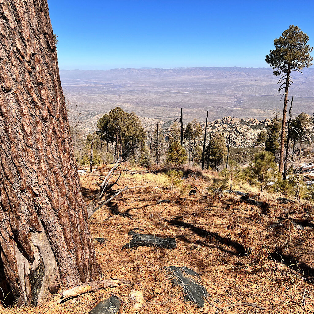
AZT day 9, Grass Shack to spectac cowgirl camp between Rincon and Santa Catalina Mts, 16.5 miles
It’s a relentless climb to beautiful Manning Camp and even harder down to the desert.
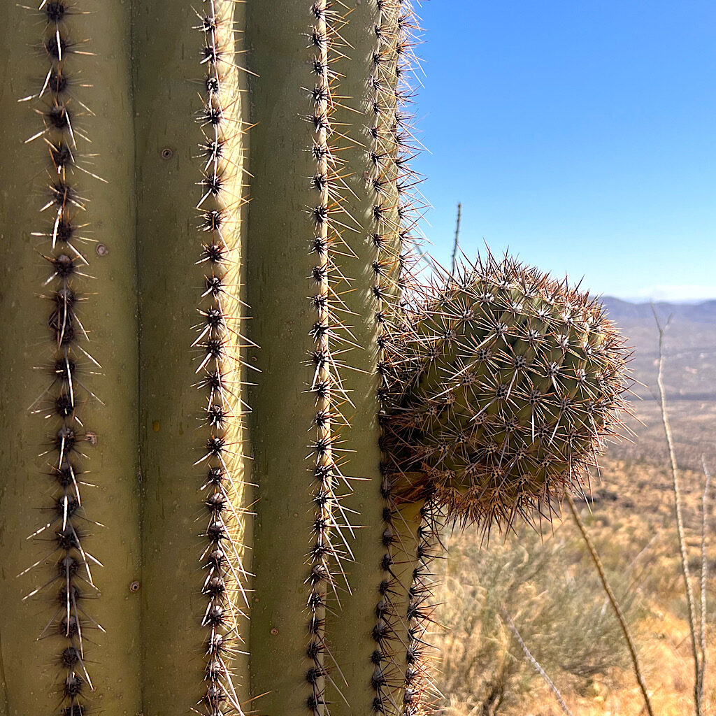
AZT day 8, Colossal Cave to Grass Shack Camp (Saguaro National Park) 16 miles
After “Magic Camp” the trail enters Saguaro National Park and a huge climb.
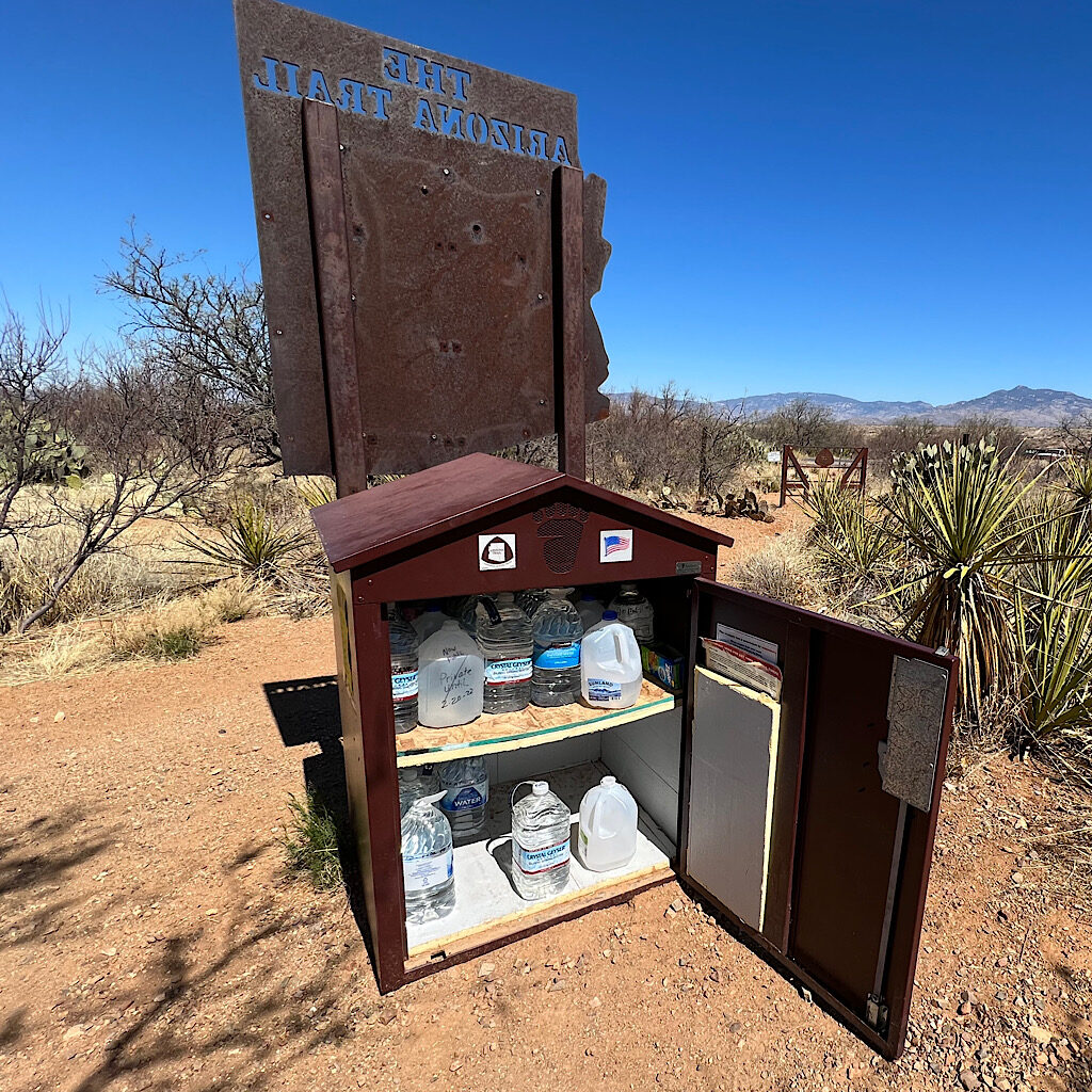
AZT day 7, spectacular site to Colossal Cave, 25.1 miles
It’s a long hot day through the Sonoran Desert with trail angeling the entire way.
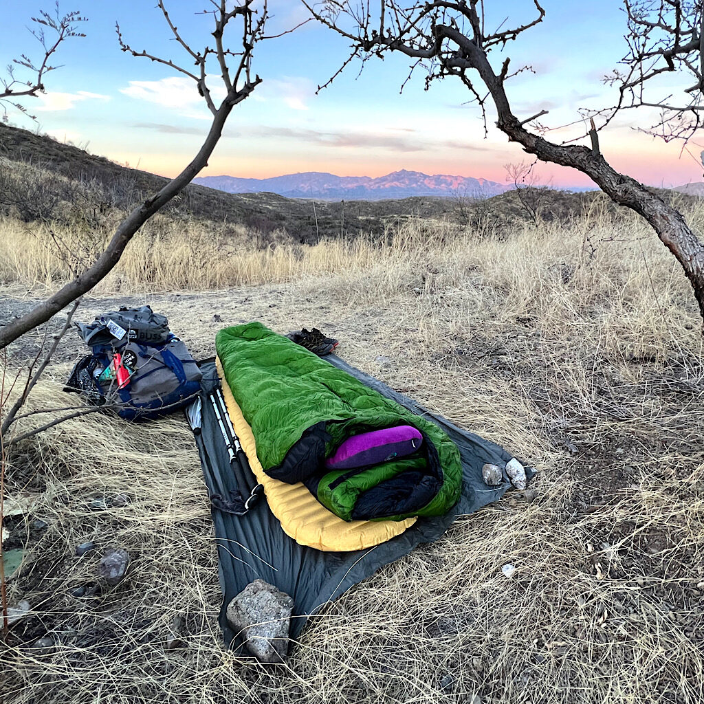
AZT day 6, spectacular site to spectacular site in Los Colinas, 20.5 miles
The Los Colinas section past Kentucky Camp is lovely rolling grassland and one trail magician.
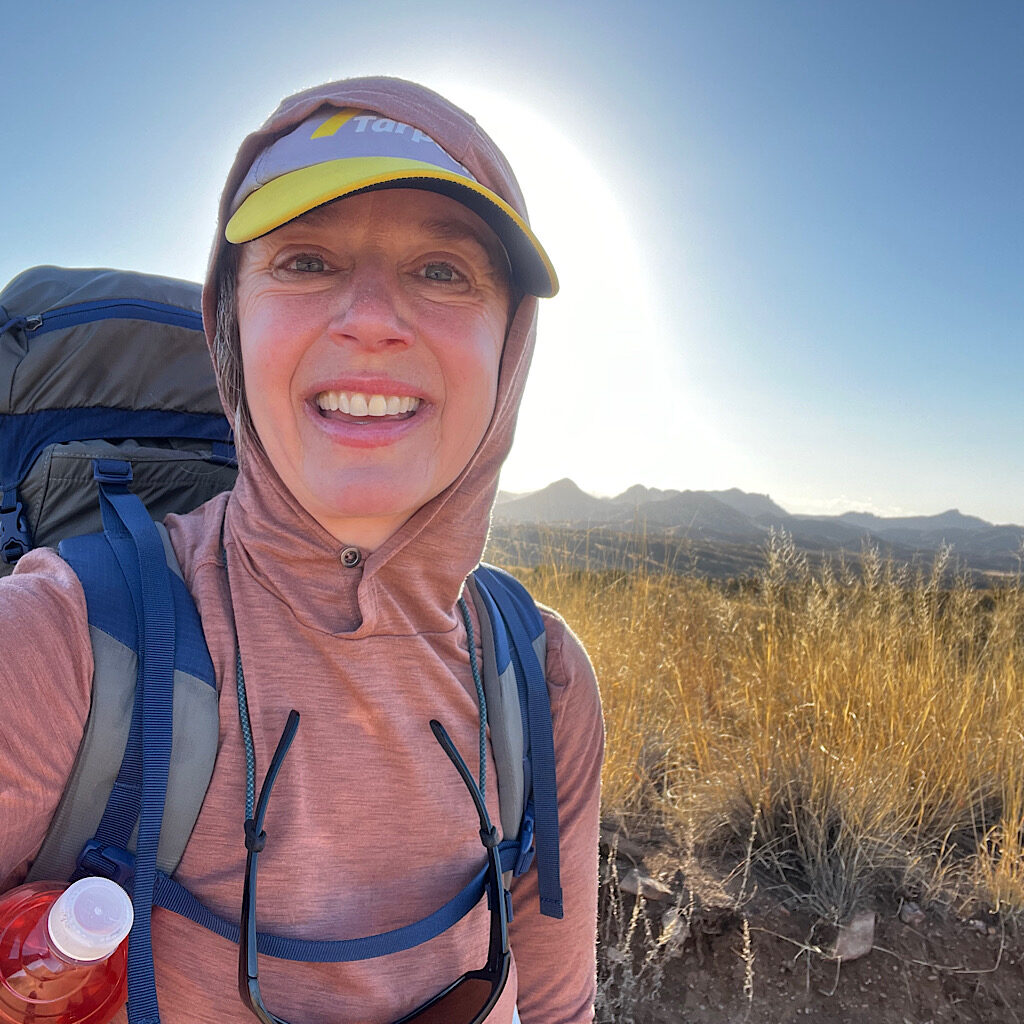
AZT day 5, Patagonia to spectacular view in the Santa Ritas, 22.5 miles
A rest in Patagonia sets me up for a huge climb over a pass and a perfect camp spot.
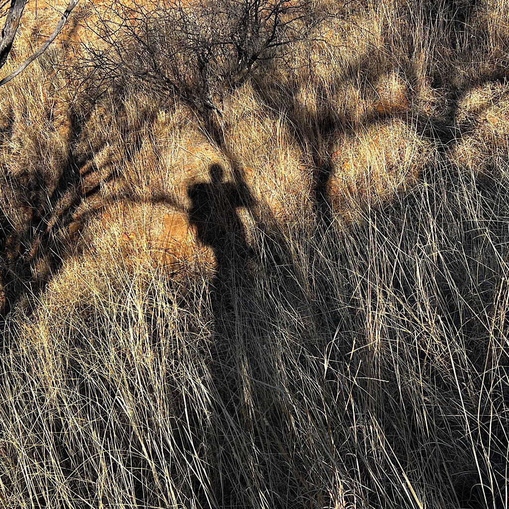
AZT day 4, cowgirl camp in Canelo Hills West to Patagonia, 7 miles
The last miles reveal ten tents and many more ups and downs to Patagonia and a ‘nero.’
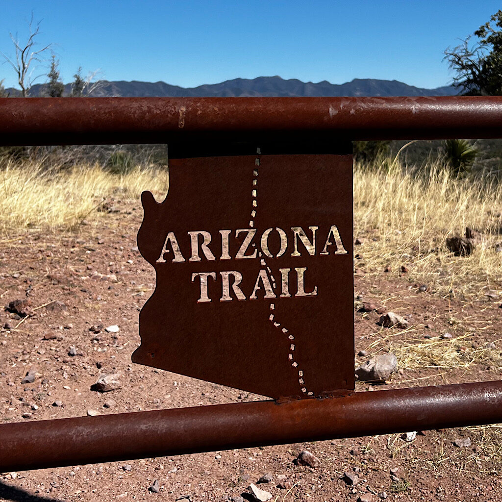
AZT day 3, cowgirl camp to cowgirl camp, 21.2 miles
The trail winds up and down all day with spectacular views of mountain ranges in all directions.
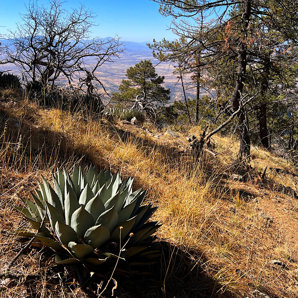
AZT day 2, sky island to cowgirl camp above Parker Lake, 18 miles
The first full day is hard core, climbing up and over Miller Peak, then steeply down past interesting water sources.
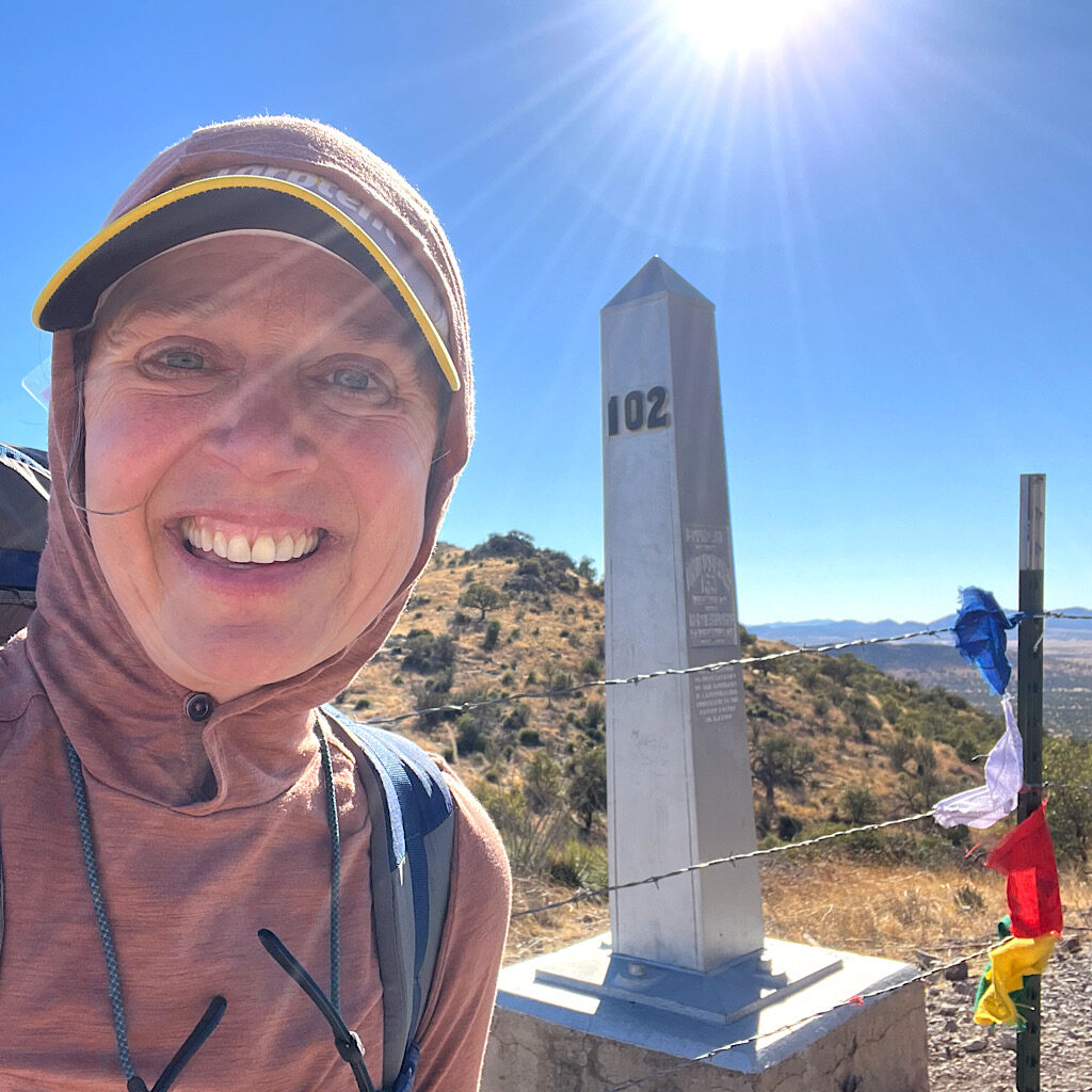
AZT day 1, border to sky island below Miller Peak, 5.5 miles
The start requires about two miles steeply down to the border followed by thousands of feet into a sky island.

Arizona Trail: 40 days in the desert
My upcoming six-week hike of the Arizona Trail shares a lot with the season of Lent.
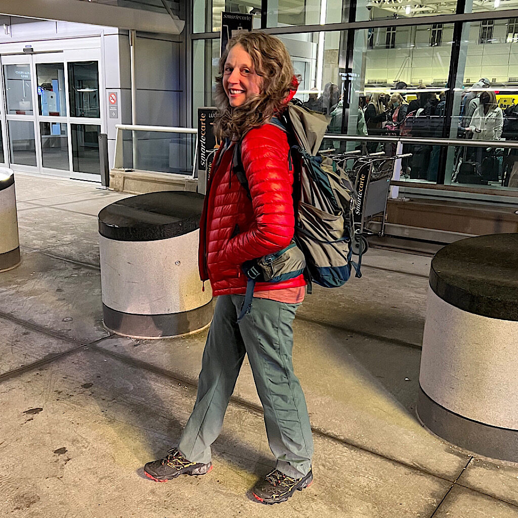
AZT trail start
Richard (Mr. Blissful Hiker) makes updates from home as Blissful flies, shuttles and hitchhikes to the start.

